NOTICE OF Local Planning
Panel MEETING
PUBLIC AGENDA
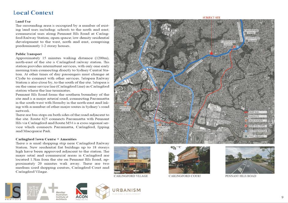
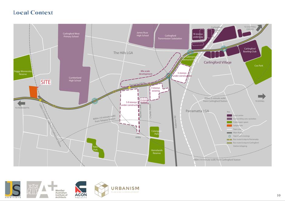
A Local Planning Panel meeting will be held via
audio-visual means on Tuesday, 20 September 2022 at 3:30pm.
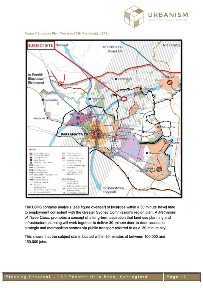
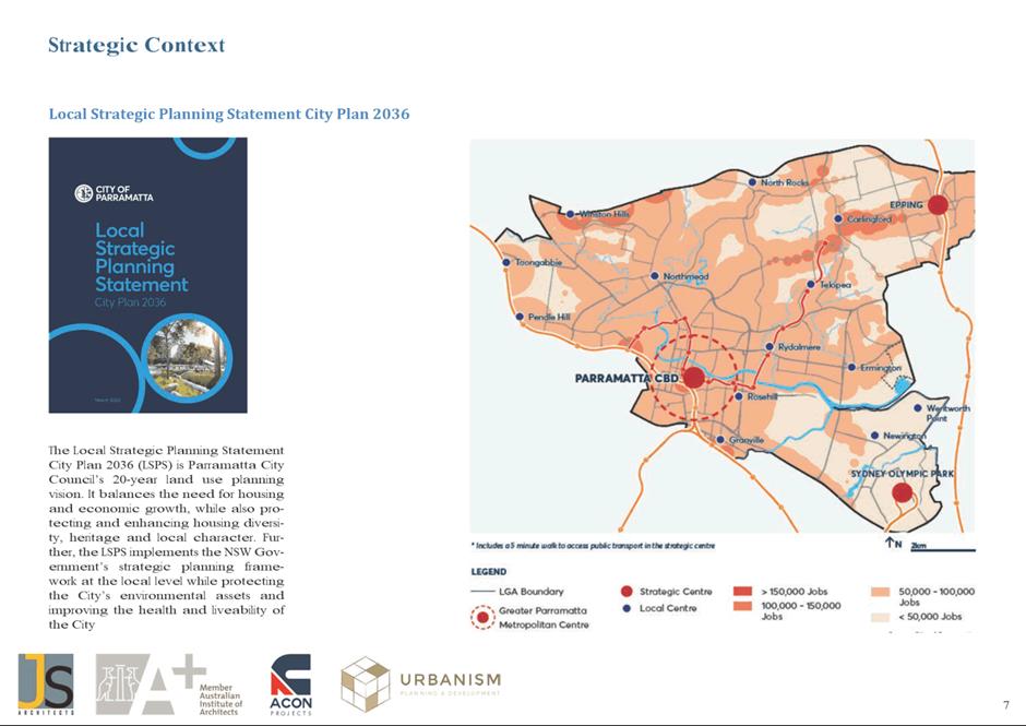
Brett Newman
CHIEF EXECUTIVE OFFICER
THIS PAGE LEFT BLANK INTENTIONALLY
Local Planning Panel 20
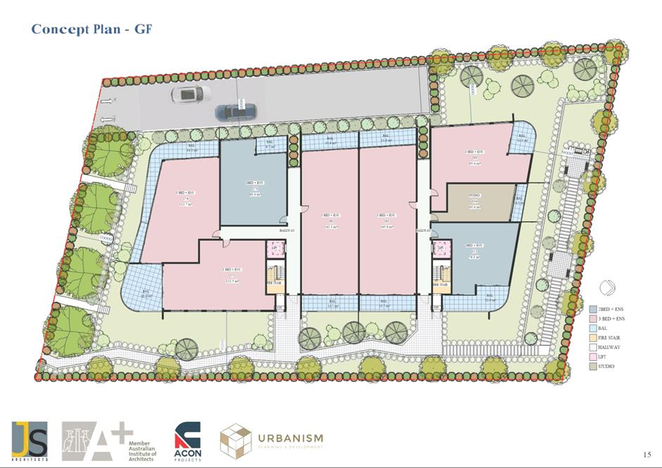
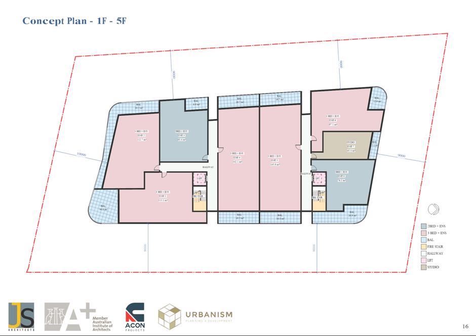
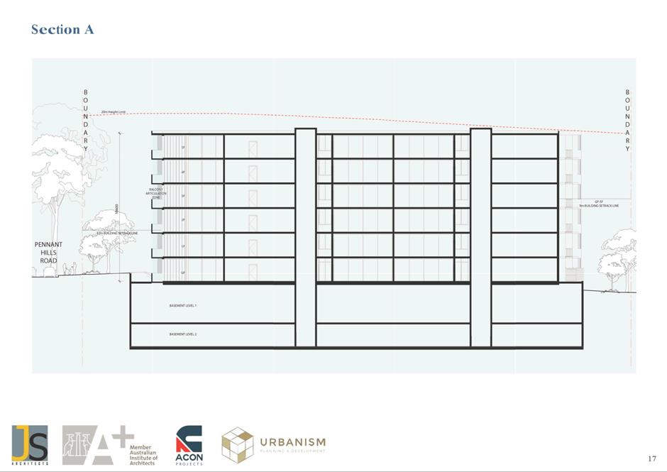
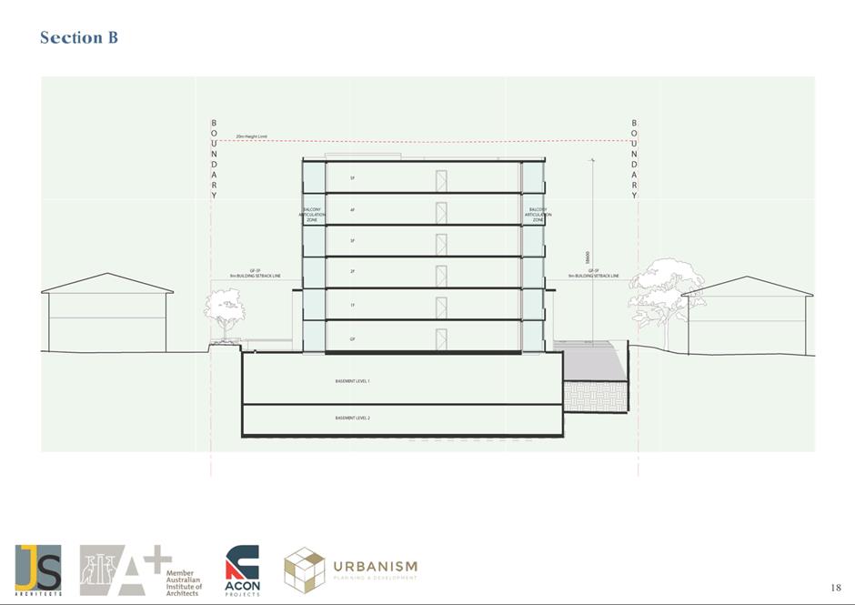
September 2022
TABLE OF CONTENTS
1 ACKNOWLEDGMENT
OF THE TRADITIONAL OWNERS OF LAND
The City of
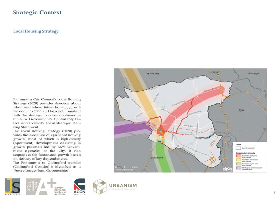
Parramatta Council acknowledges the Burramattagal people of The Darug Nation as
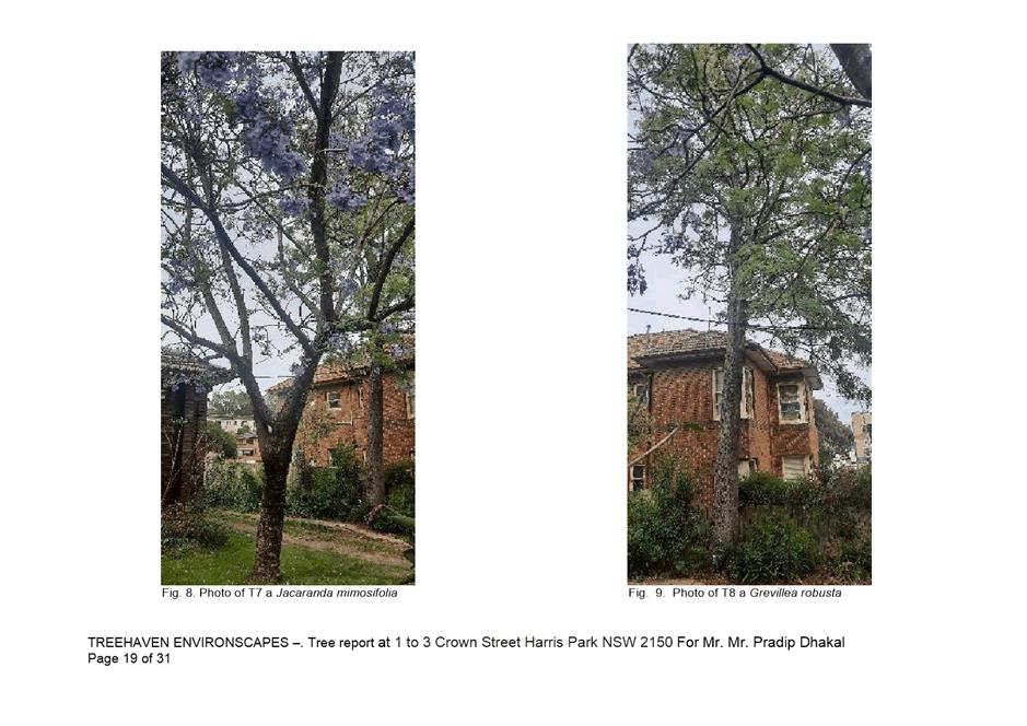
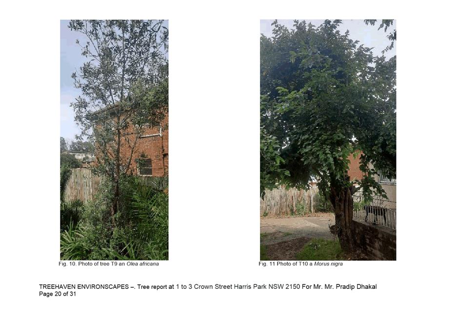
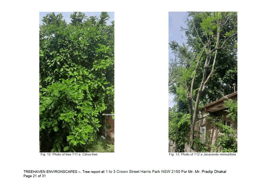
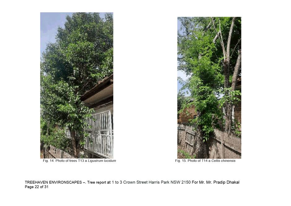
the traditional owners of land in Parramatta and pays its respects to their
ancient culture and to their elders, past, present and emerging.
2 WEBCASTING
ANNOUNCEMENT
This public
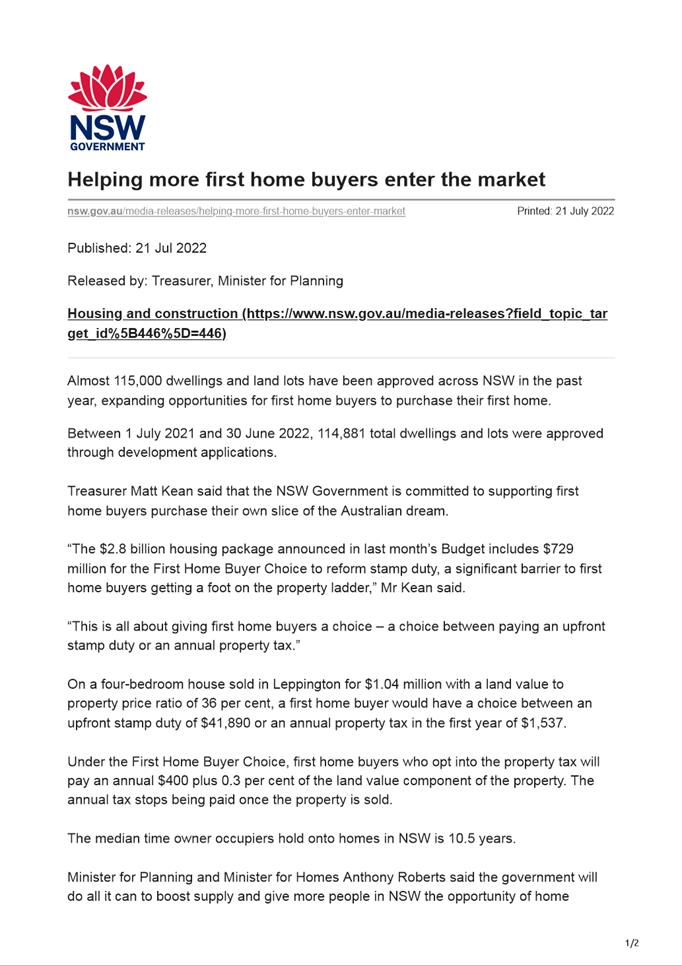
meeting will be recorded. The recording will be archived and available on
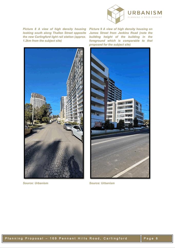
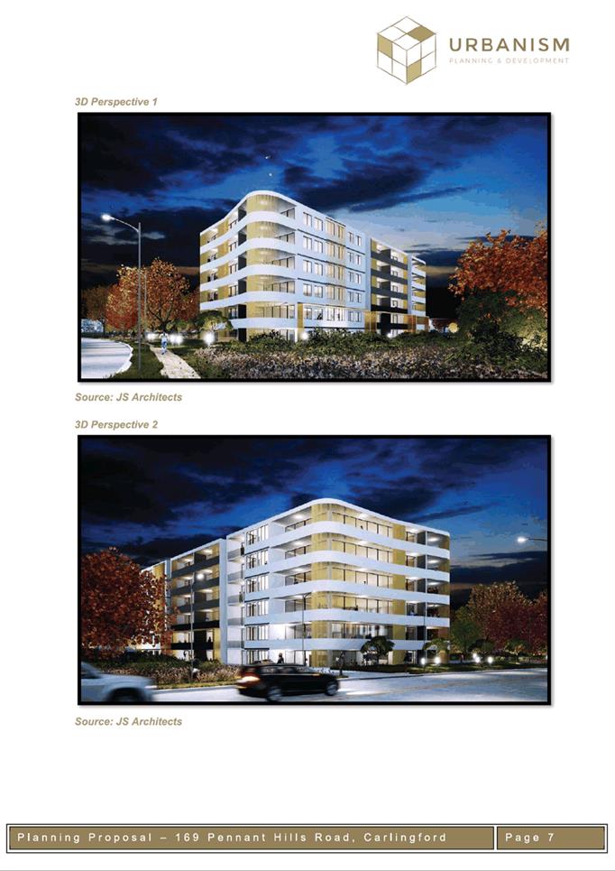
Council’s website.
All care is taken to maintain your
privacy; however if you are in attendance in the public gallery, you should be
aware that your presence may be recorded.
3 APOLOGIES
4 DECLARATIONS
OF INTEREST
5 Reports - Development Applications
5.1 OUTSIDE
PUBLIC MEETING:
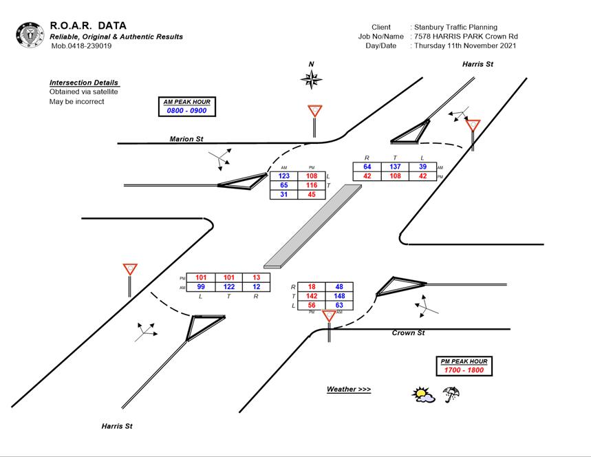
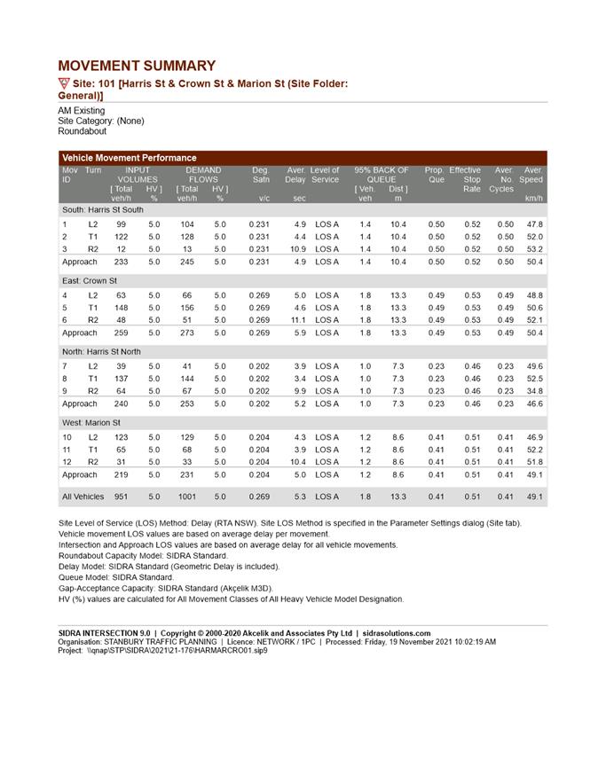
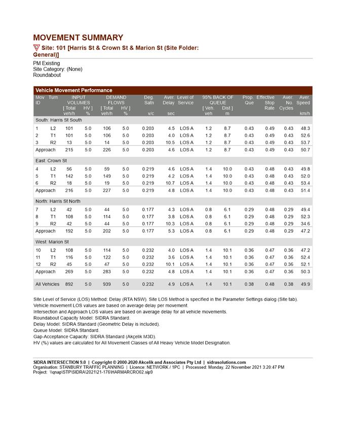
1-3 Crown Street, HARRIS PARK (Lots A and B DP 326493).......... 6
5.2 OUTSIDE
PUBLIC MEETING:
22 Langston Place, EPPING (CP SP 103041, LOT 5 DP1272951 and LOT 5 DP249822)......................................................................................... 626
5.3 OUTSIDE
PUBLIC MEETING:
197 Church Street, 89 Marsden Street and 207 Church Street PARRAMATTA (LOT 1,
DP 710335 and LOT 1, DP 233150)...... 738
5.4 OUTSIDE
PUBLIC MEETING:
7A Park Parade PARRAMATTA (Lot 1, DP 1244328)................... 871
5.5 OUTSIDE
PUBLIC MEETING:
67 High Street, PARRAMATTA (LOT B DP 421597)..................... 927
6 Reports - PLANNING PROPOSALS
6.1 Refusal
of the Planning Proposal for land at 169 Pennant Hills Road, Carlingford........................................................................................... 1002
Development Applications
20 September 2022
5.1 OUTSIDE
PUBLIC MEETING:
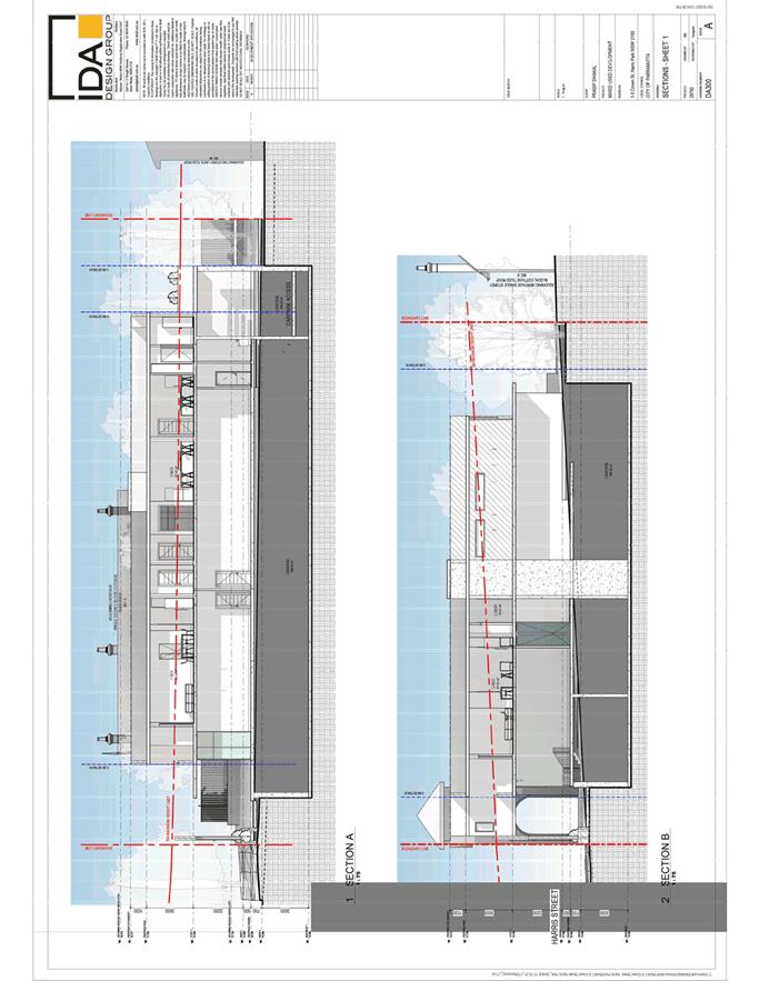
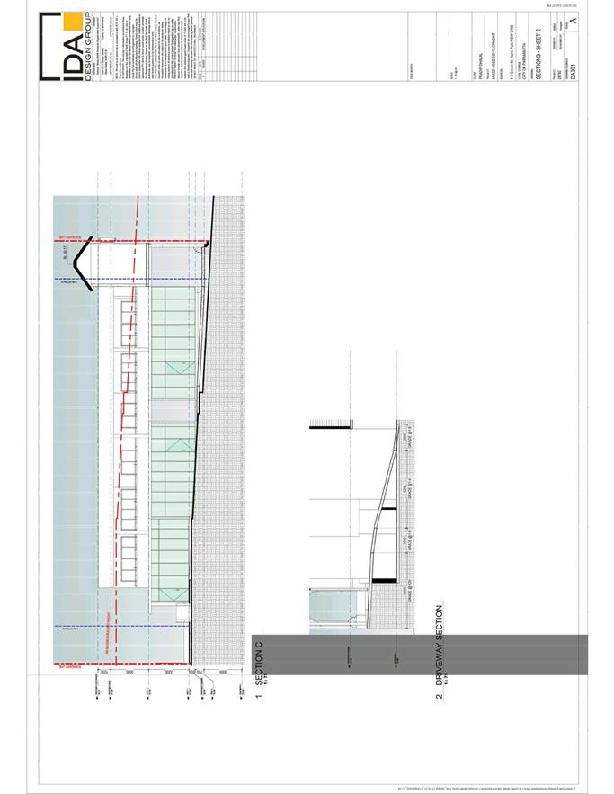
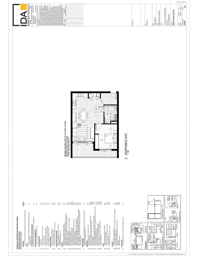
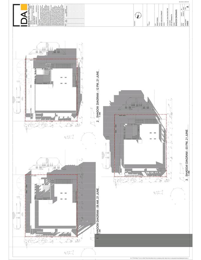
1-3 Crown Street, HARRIS PARK (Lots A and B DP 326493)................... 6
5.2 OUTSIDE
PUBLIC MEETING:
22 Langston Place, EPPING (CP SP 103041, LOT 5 DP1272951 and LOT 5 DP249822)...................................................................................................... 626
5.3 OUTSIDE
PUBLIC MEETING:
197 Church Street, 89 Marsden Street and 207 Church Street PARRAMATTA (LOT 1,
DP 710335 and LOT 1, DP 233150)...................................................... 738
5.4 OUTSIDE
PUBLIC MEETING:
7A Park Parade PARRAMATTA (Lot 1, DP 1244328)............................ 871
5.5 OUTSIDE
PUBLIC MEETING:
67 High Street, PARRAMATTA (LOT B DP 421597).............................. 927
Local Planning Panel 20 September 2022 Item
5.1
ITEM NUMBER 5.1
SUBJECT OUTSIDE PUBLIC MEETING:
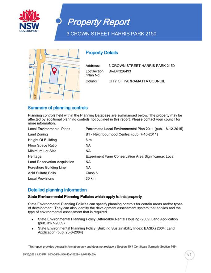
1-3 Crown Street, HARRIS PARK (Lots A and B DP 326493)
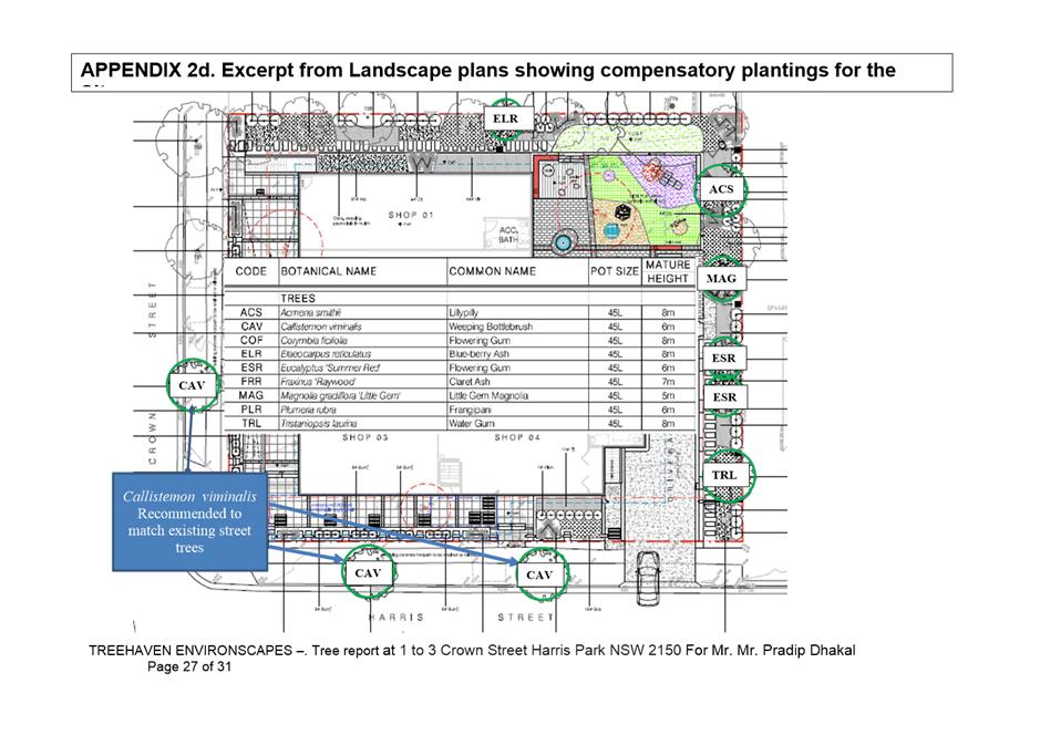
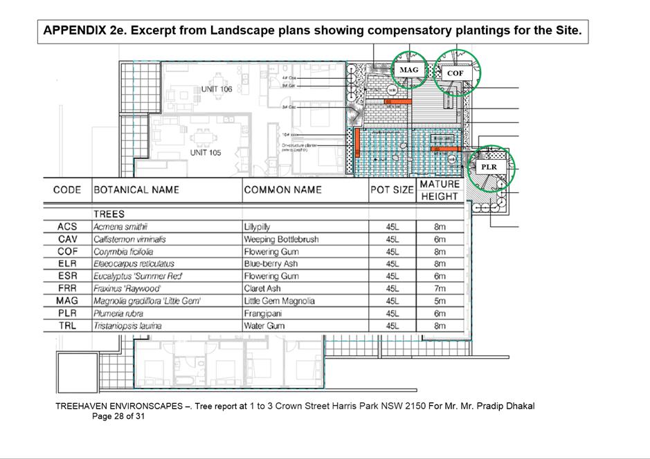
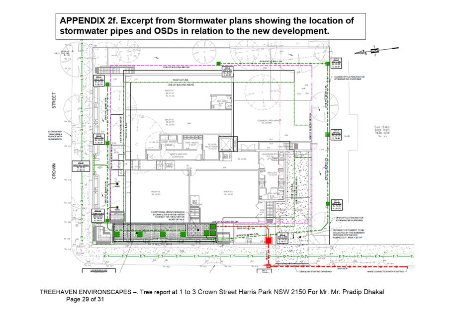
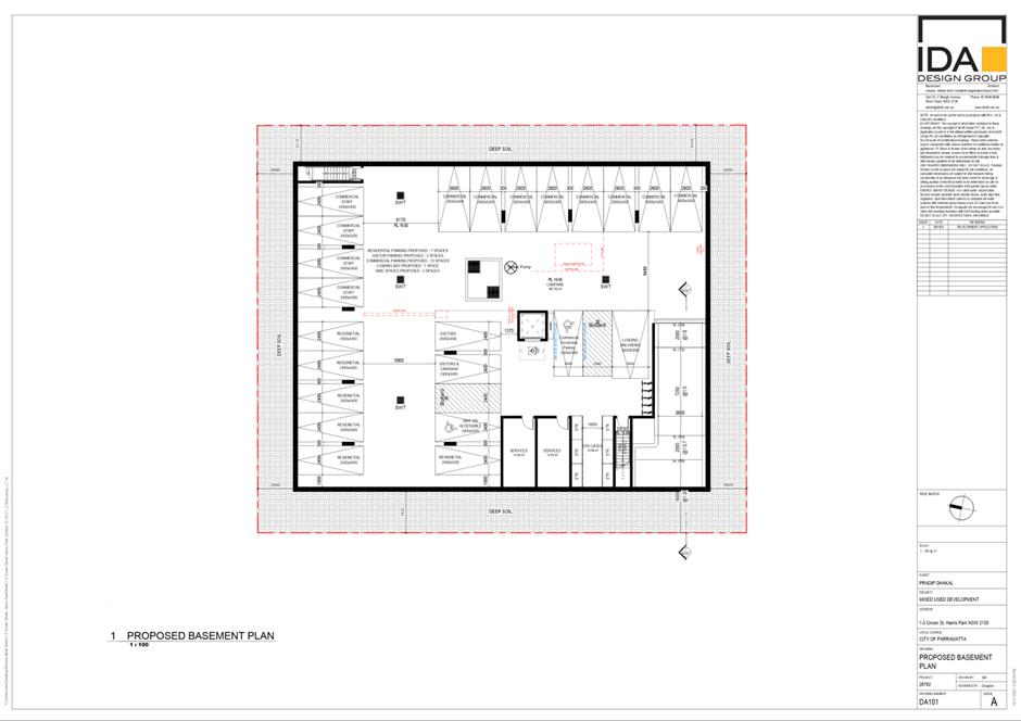
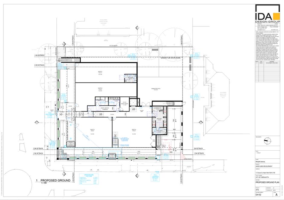
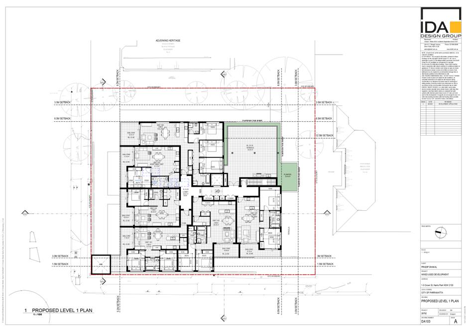
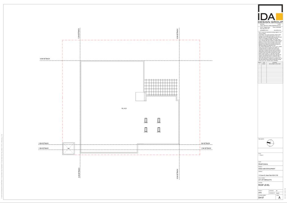
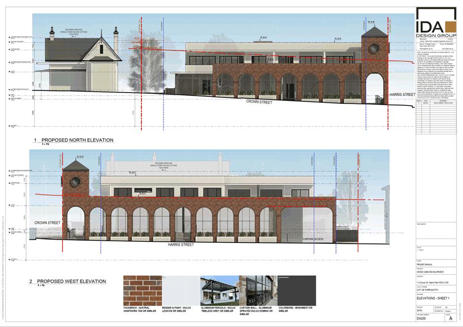
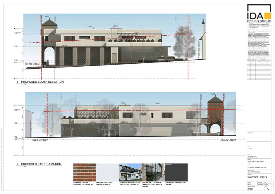
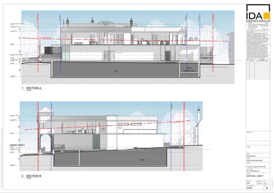
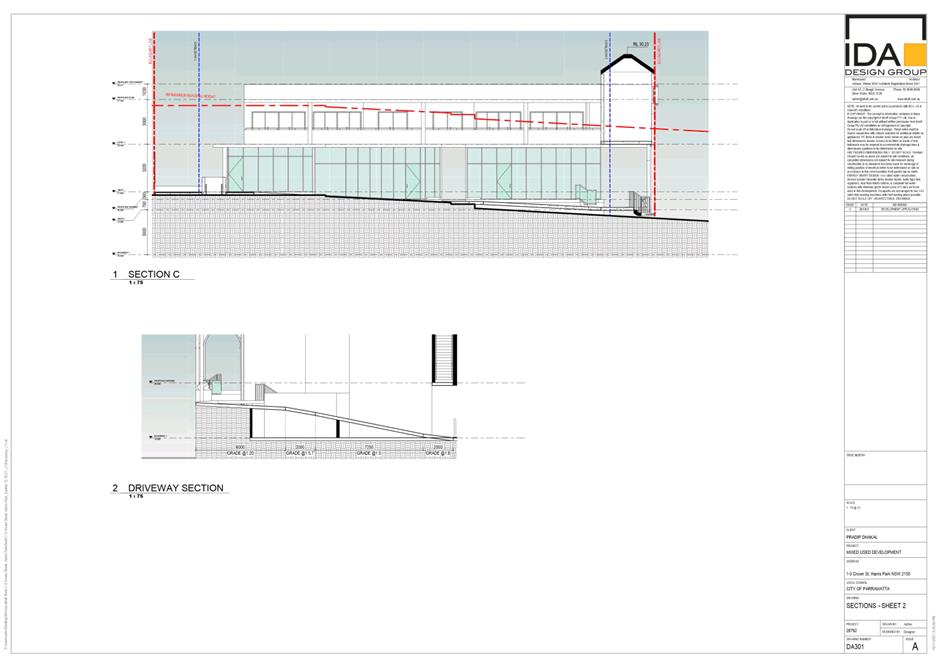
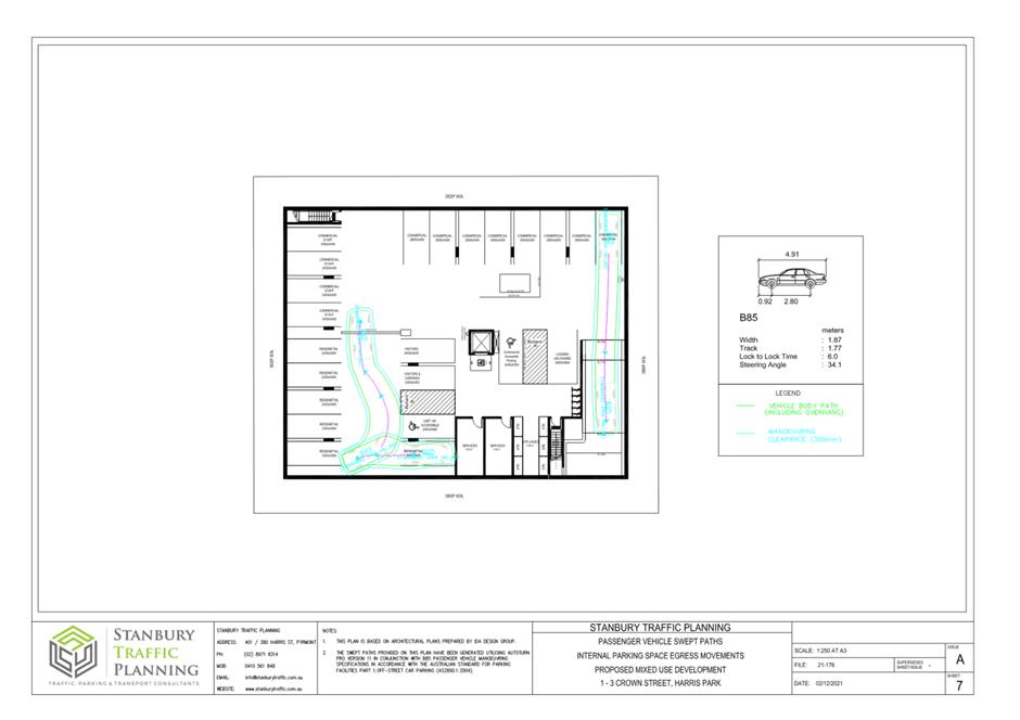
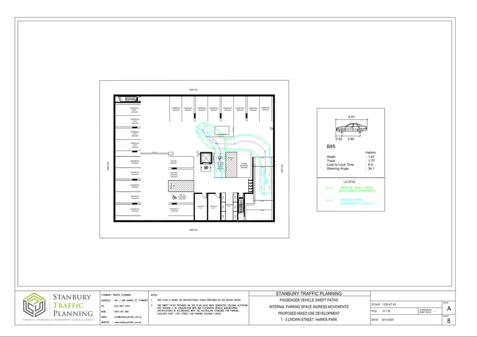
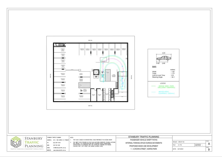
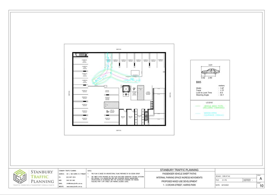
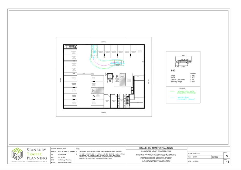
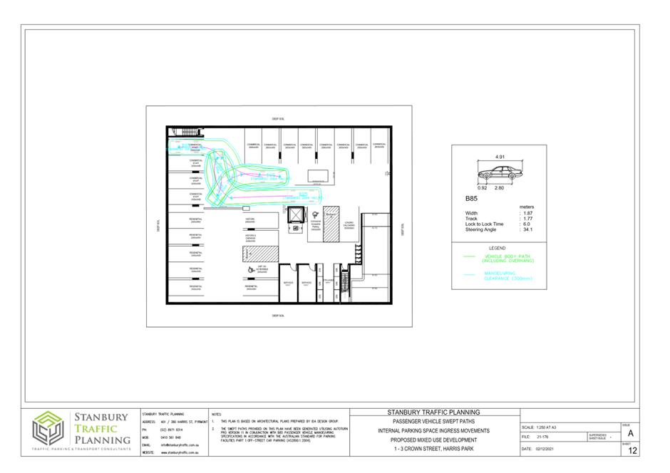
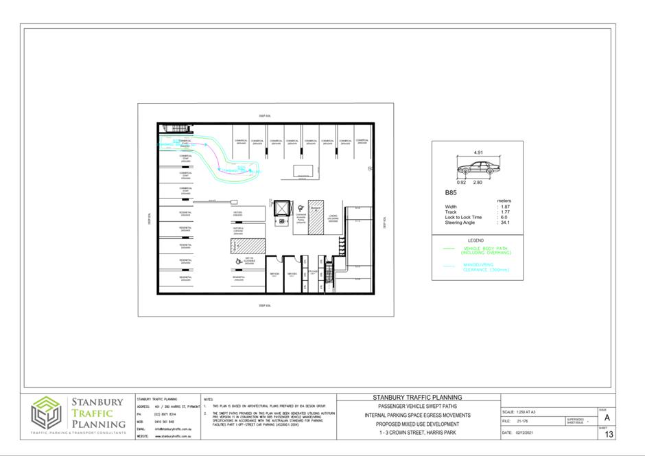
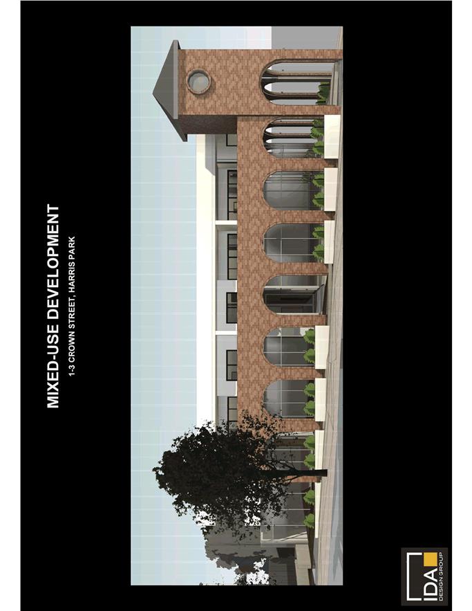
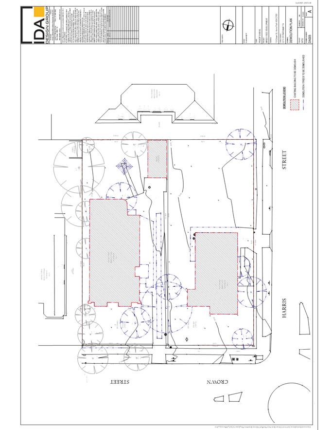
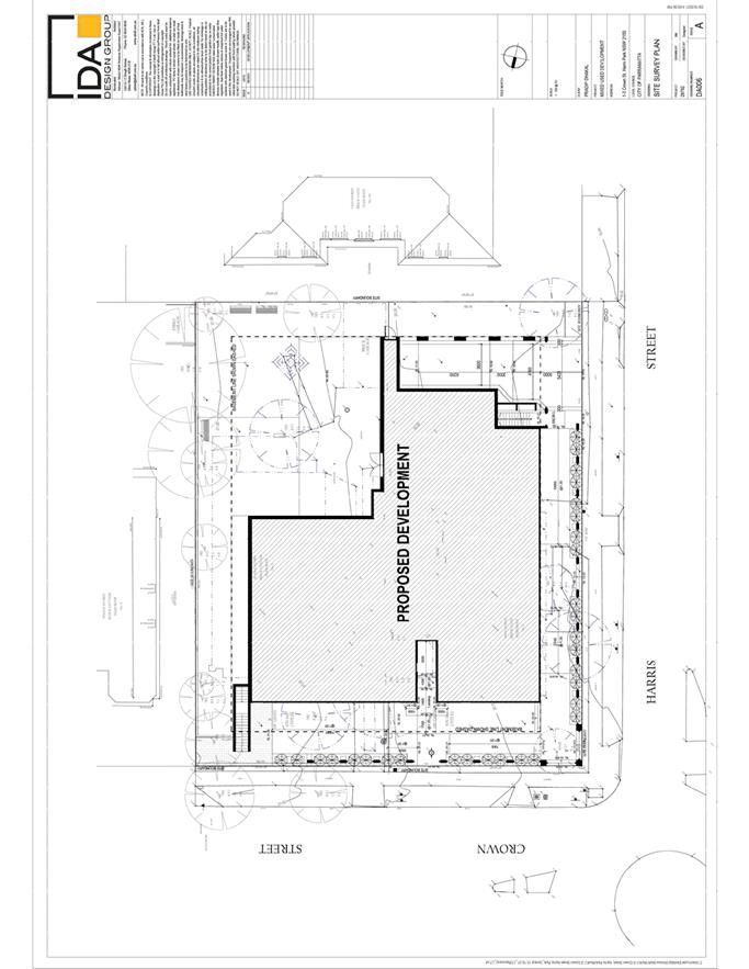
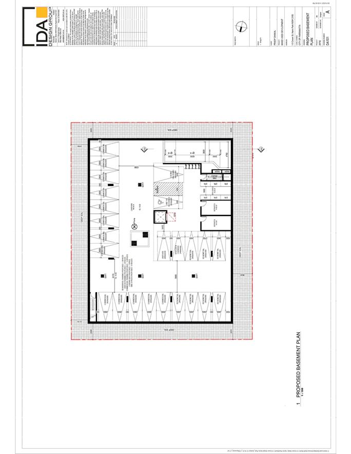
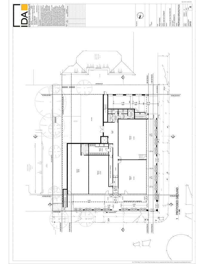
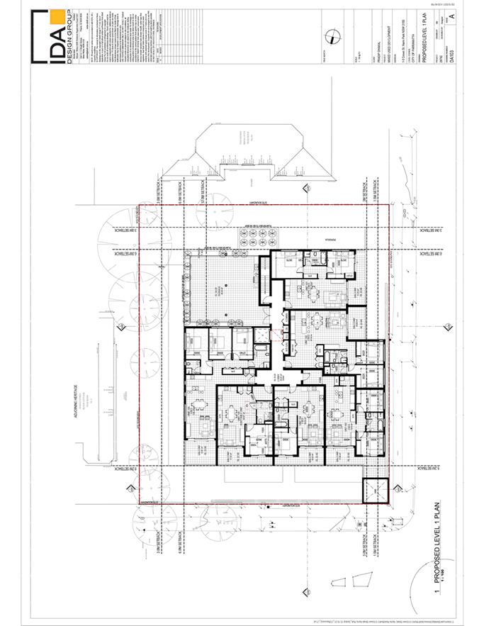
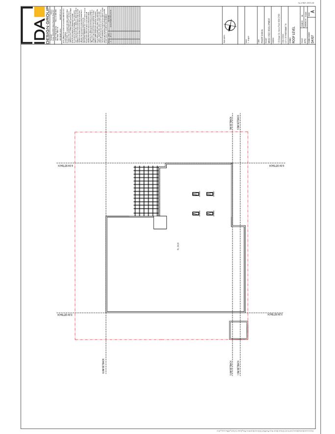
DESCRIPTION Demolition, tree removal and construction of a two storey shop top
housing development including 1 level of basement car parking with 22 parking
spaces, 4 commercial tenancies on the ground floor, 6 residential units on the first
floor and associated landscaping works.
REFERENCE DA/324/2022 - D08628699
APPLICANT/S Pradip Dhakal
OWNERS Pradip Dhakal
REPORT OF Group
Manager Development and Traffic Services
RECOMMENDED Refusal
DATE OF REPORT 29 August 2022
REASON FOR
REFERRAL TO LPP
This application
is reported to the Parramatta Local Planning Panel for determination as
the proposed development proposal exceeds the maximum permissible building
height by 3.24m which is a 29% variation to the development standard.
EXECUTIVE SUMMARY
The Site
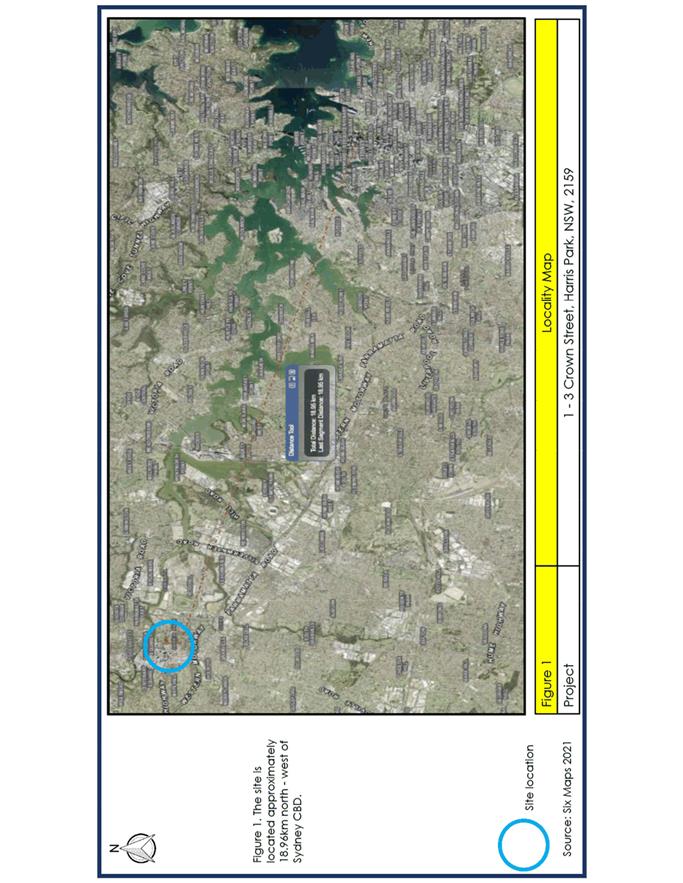
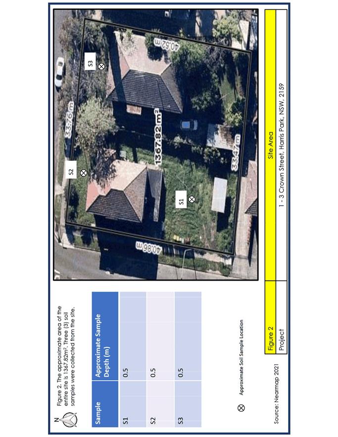
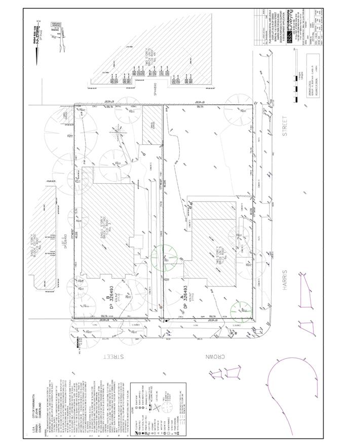
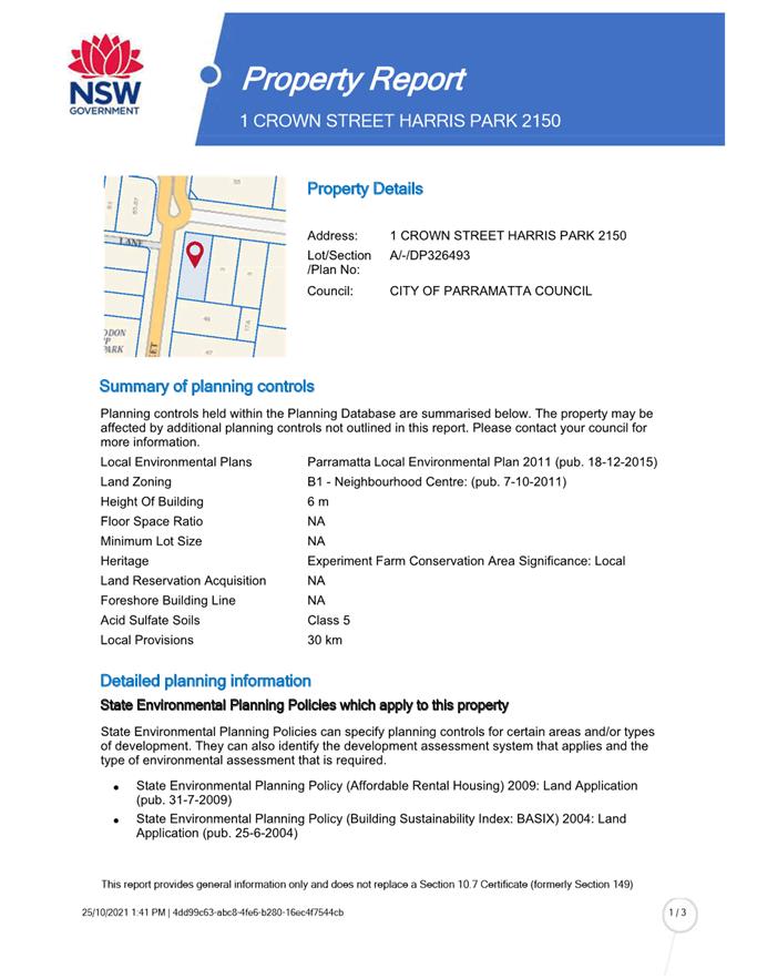
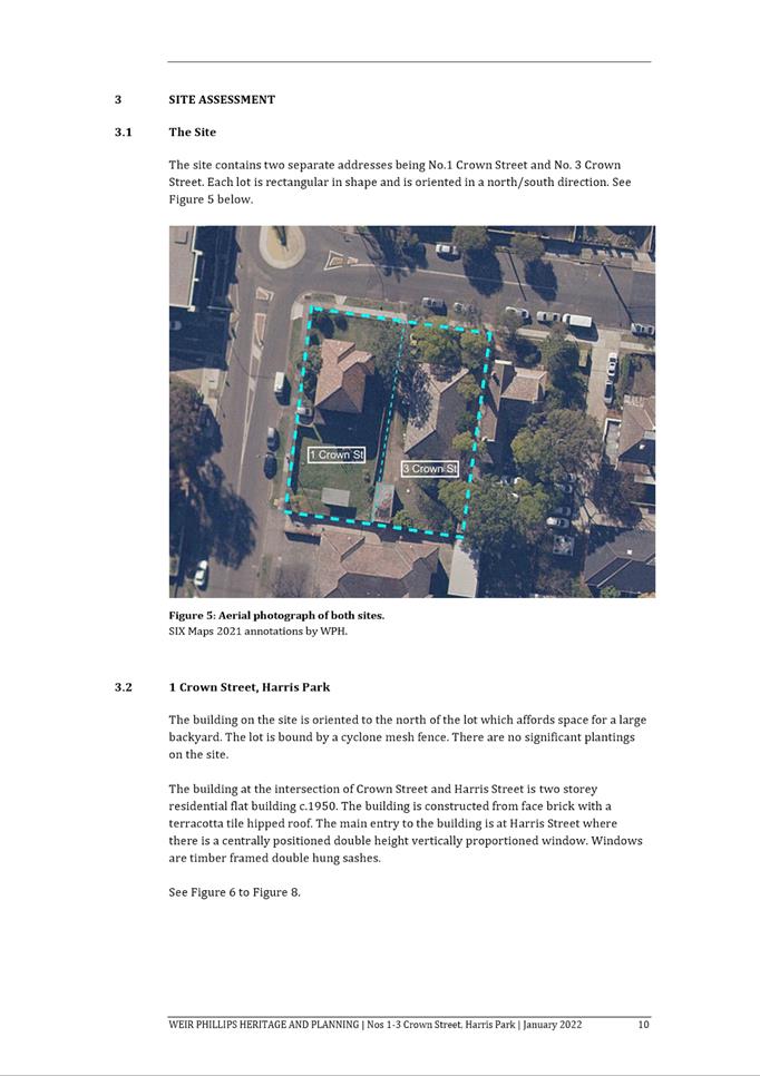
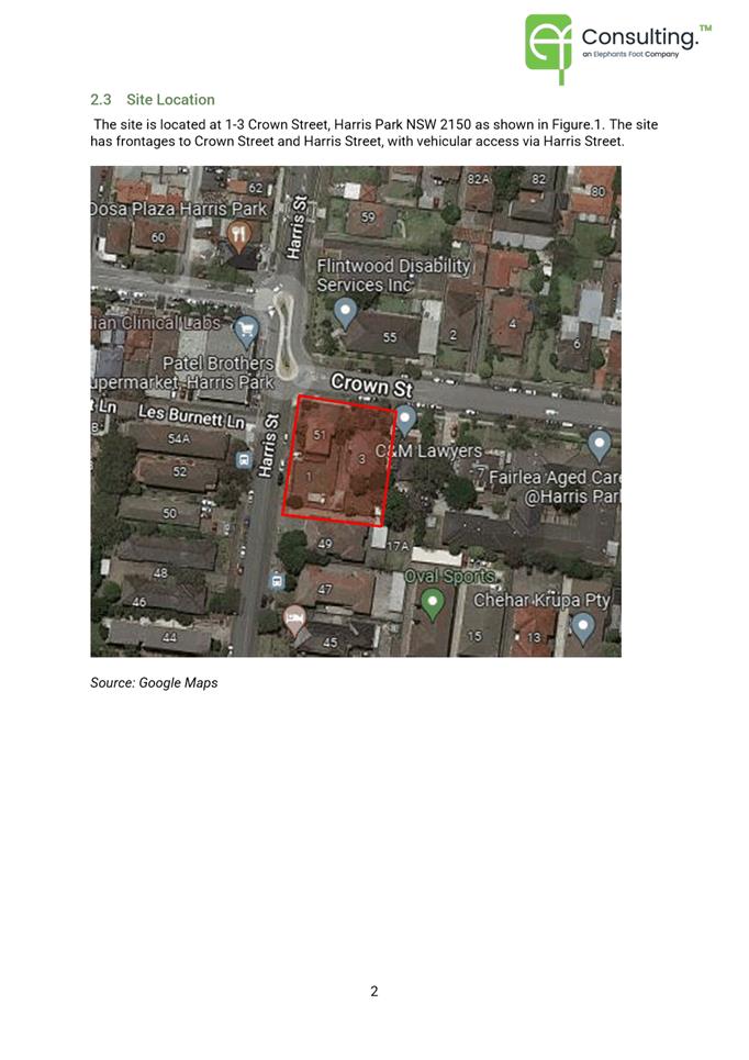
The subject site is legally described as Lots A and B DP
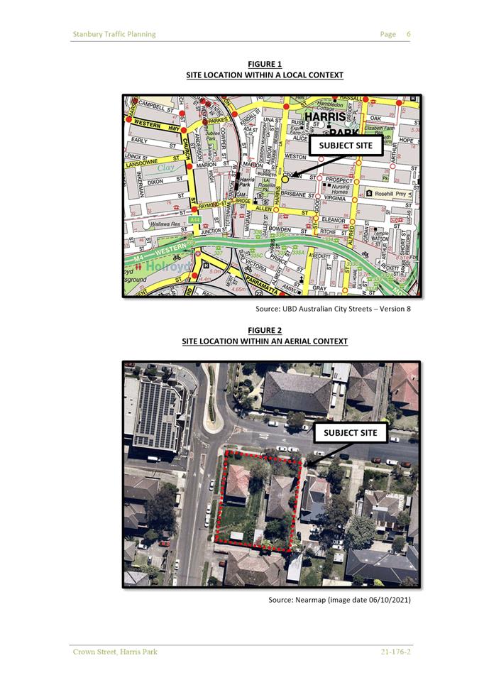
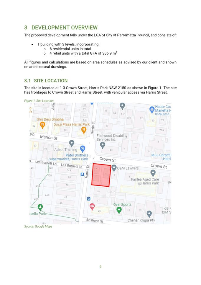
326493 and commonly known as No. 1-3 Crown Street, Harris Park. The site has a
combined site area of 1,349.50m2 with frontage to Crown Street of
33.53m, and a frontage to Harris Street of 40.23m. The site falls approximately
2.3m from the north eastern corner to the south western corner.
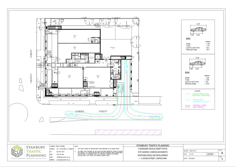
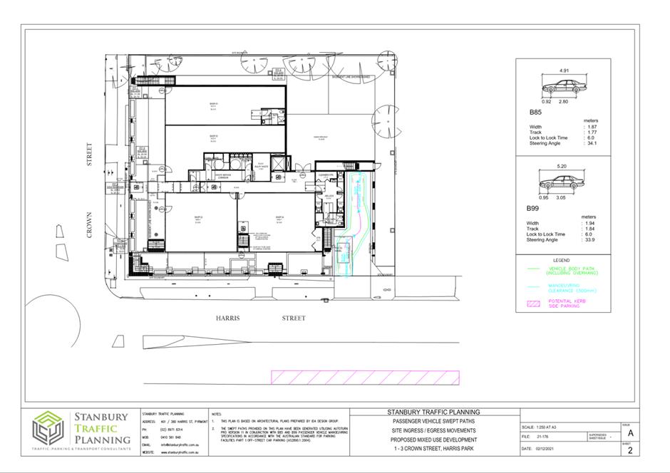
Vehicle access to No. 1 Crown Street is via a concrete
driveway to Harris Street, and to No. 3 Crown Street is via a concrete driveway
to Crown Street.
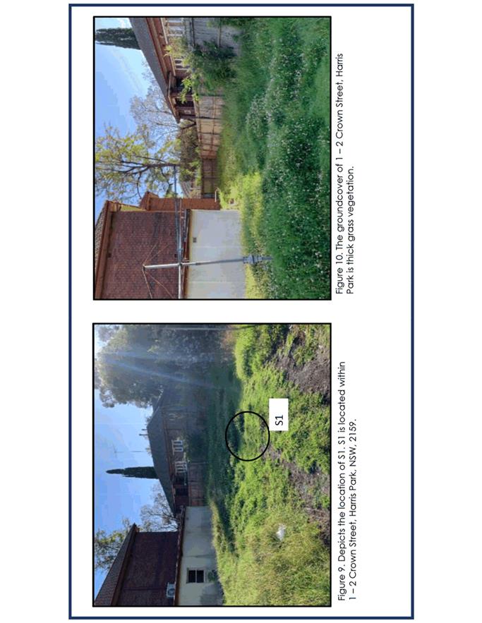
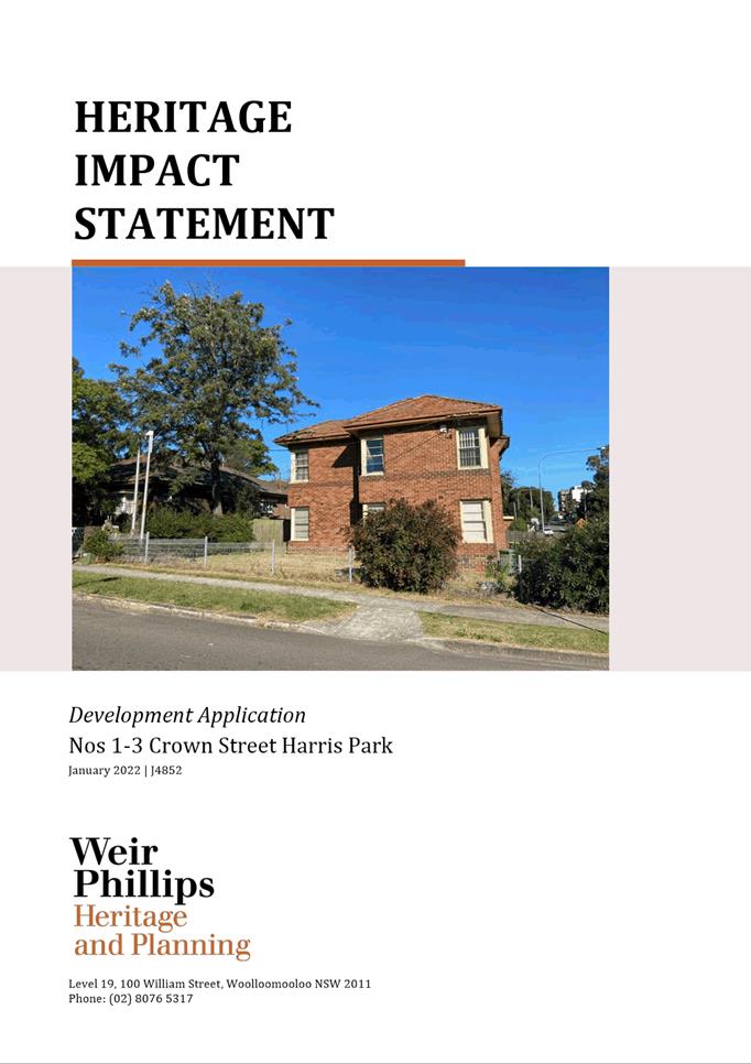
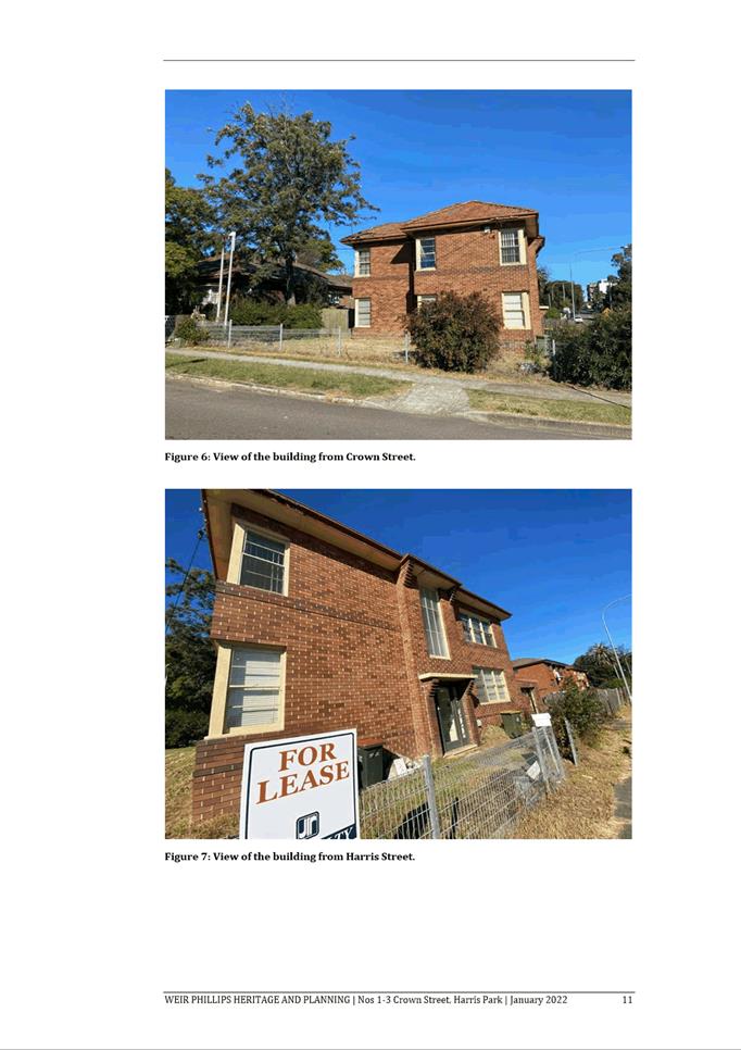
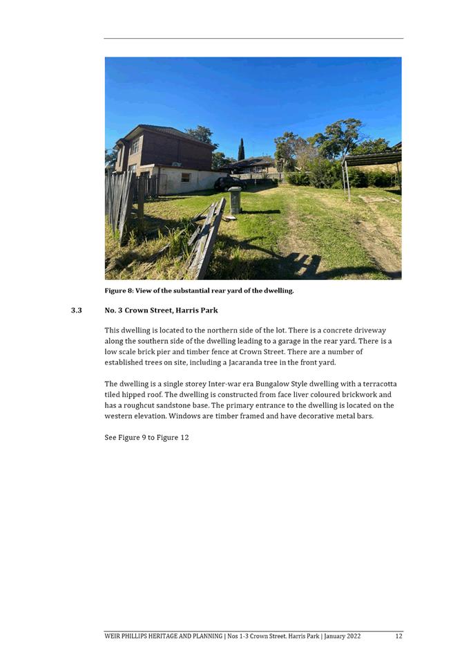
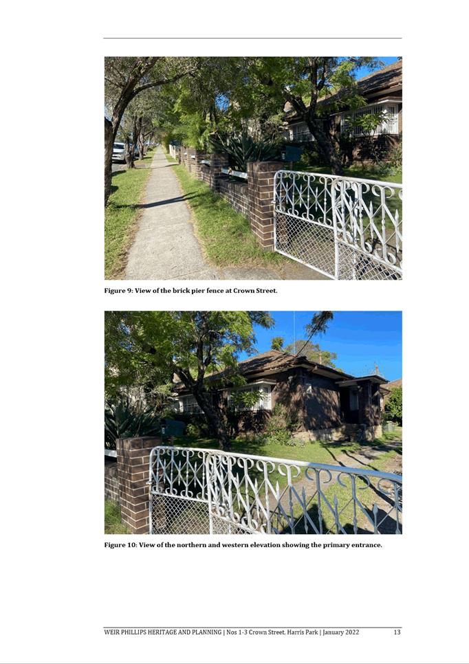
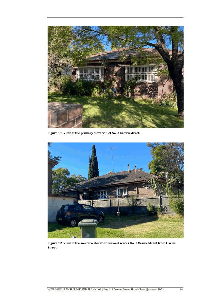
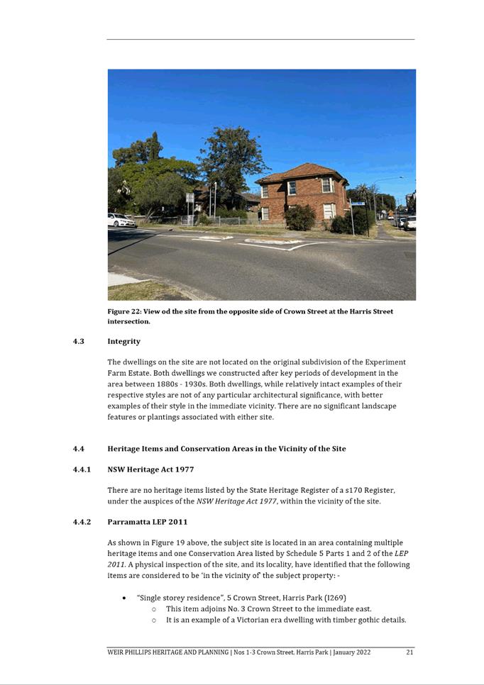
No. 1 Crown Street is currently occupied by a two (2) storey
residential building, and No. 3 Crown Street is currently occupied by a single
storey dwelling.
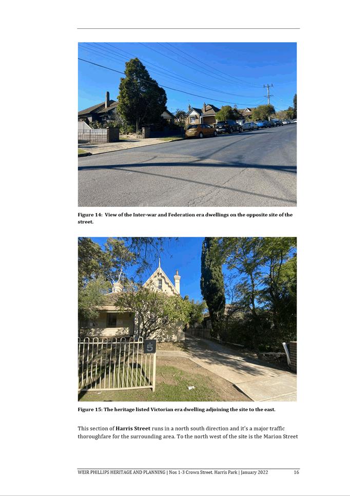
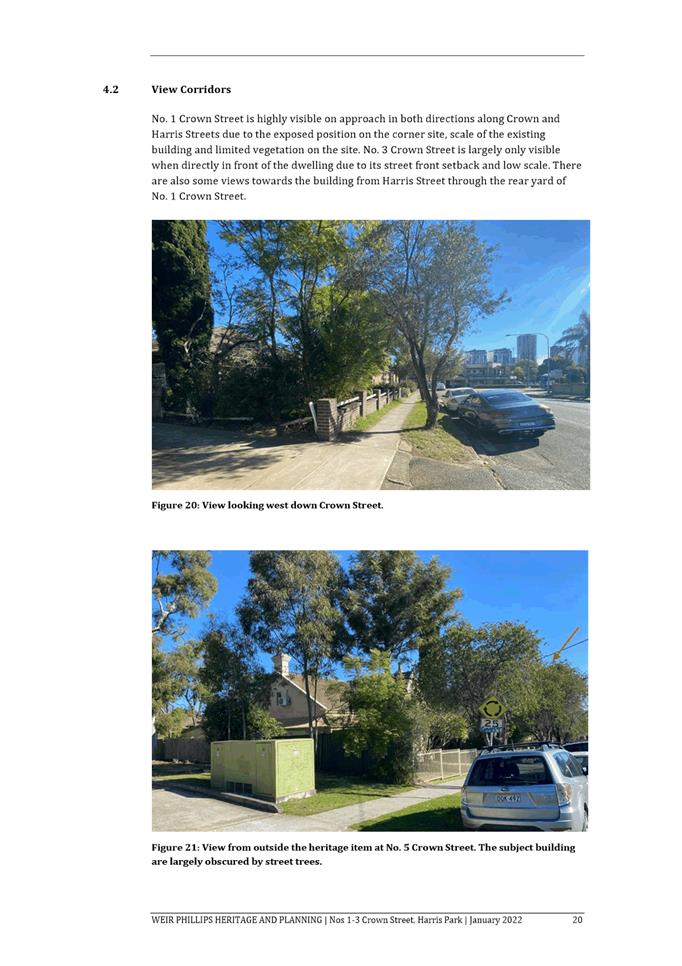
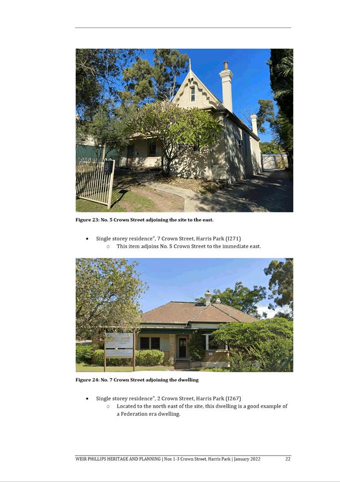
Immediately to the east of the site at No. 5 Crown Street is
a single storey heritage listed building being used as a commercial premises.
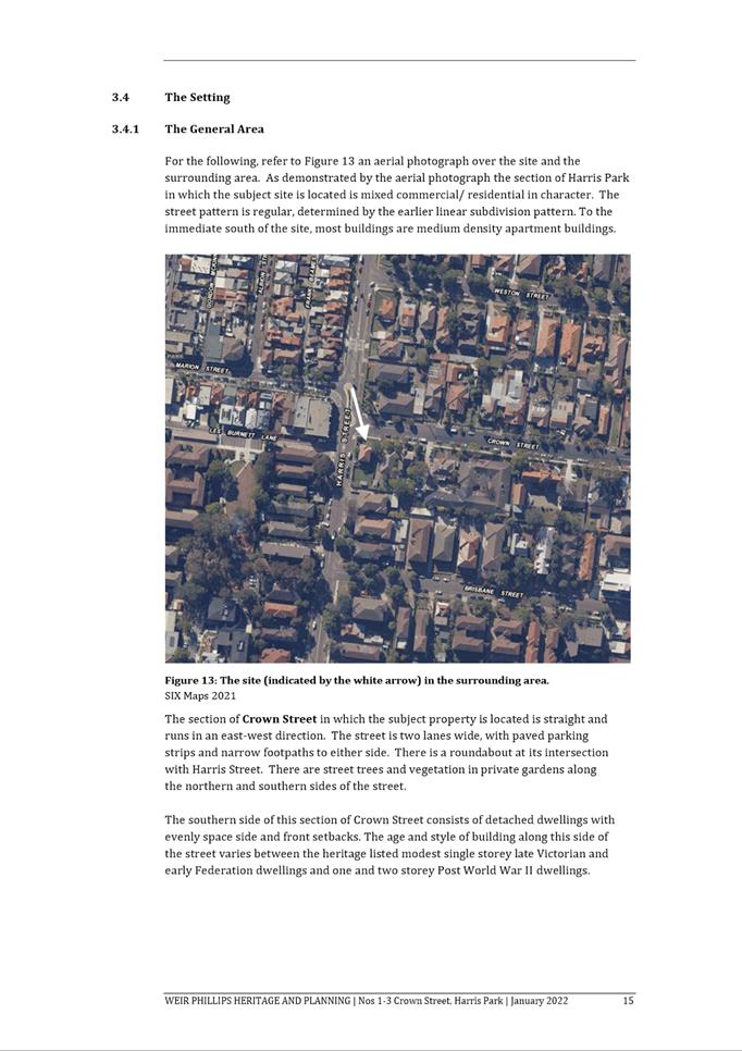
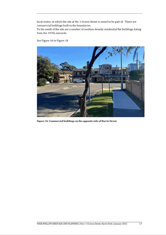
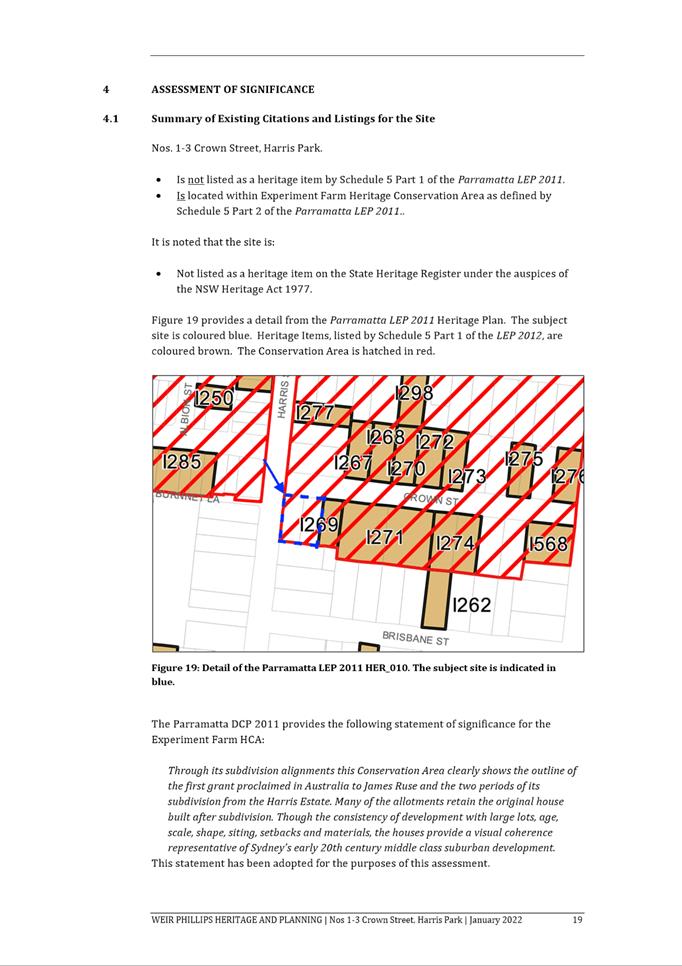
To the south of the site at No. 49 Harris Street is a three (3) storey
residential building. Adjacent to the site at No. 85-87 Marion Street is a
shop-top housing development.
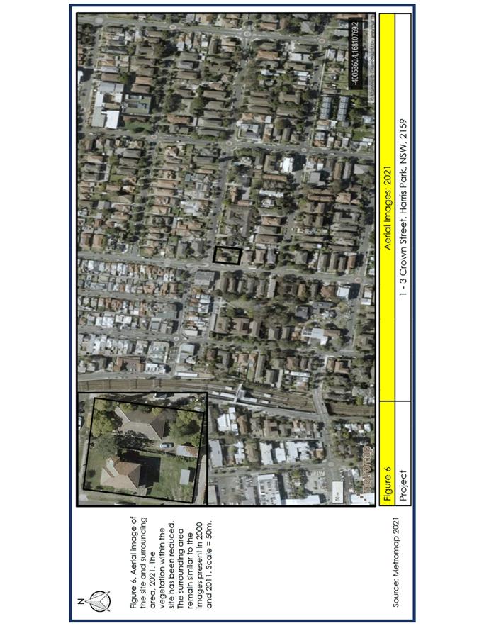
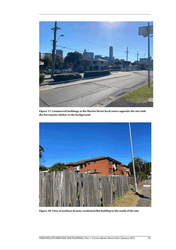
Surrounding development comprises of a mix of residential
flat buildings, mixed use development, commercial development and low-density
residential development.
Harris Park Train Station is approximately 450m from the
site. A bus stop is located along Harris Street, directly opposite the site.
The Proposal
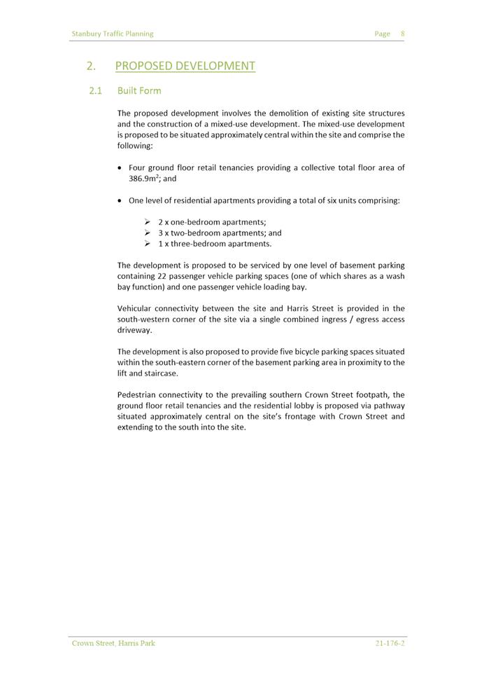
Development Application DA/324/2022 was lodged on 24 April
2022 for the demolition of the existing building
and the construction of a two (2) storey shop top housing development
consisting of four (4) commercial tenancies at ground floor, six (6) residential
units at the first floor plus basement car parking with twenty-two (22) car
parking spaces and associated landscaping.
Assessment Summary
The
application has been assessed relative to section 4.15 of the Environmental
Planning and Assessment Act 1979, taking into consideration all relevant
state and local planning controls.
The proposal has been assessed in accordance with Section
4.15(1) of the Environmental Planning and Assessment Act 1979. The
proposal is not consistent with the relevant requirements of the State
Environmental Planning Policy (Biodiversity and Conservation) 2021, State
Environmental Planning Policy (Resilience and Hazards) 2021, Parramatta Local
Environmental Plan 2011, and the Parramatta Development Control Plan 2011.
The scale of the development results in unacceptable amenity
impacts on adjoining residential developments and will detract from the
character of the Experiment Farm Heritage Conservation Area.
Having regard to
the matters for consideration under Section 4.15 of the Environmental
Planning and Assessment Act 1979, it is recommended Development Application
No. DA/324/2022 be refused.
RECOMMENDATION
(a)
That the Parramatta Local Planning Panel,
exercising the functions of Council, pursuant to Section 4.16 of the Environmental
Planning and Assessment Act 1979, refuse development consent to DA/324/2022
for the demolition of the existing building and the construction of a two (2)
storey shop top housing development consisting of four (4) commercial tenancies
at ground floor, six (6) residential units at the first floor plus basement car
paring with twenty-two (22) car
parking spaces and associated landscaping.
(b) Further, that the submitters be advised of the decision.
REASONS FOR REFUSAL
1. State
Environmental Planning Policy (Biodiversity and Conservation) 2021
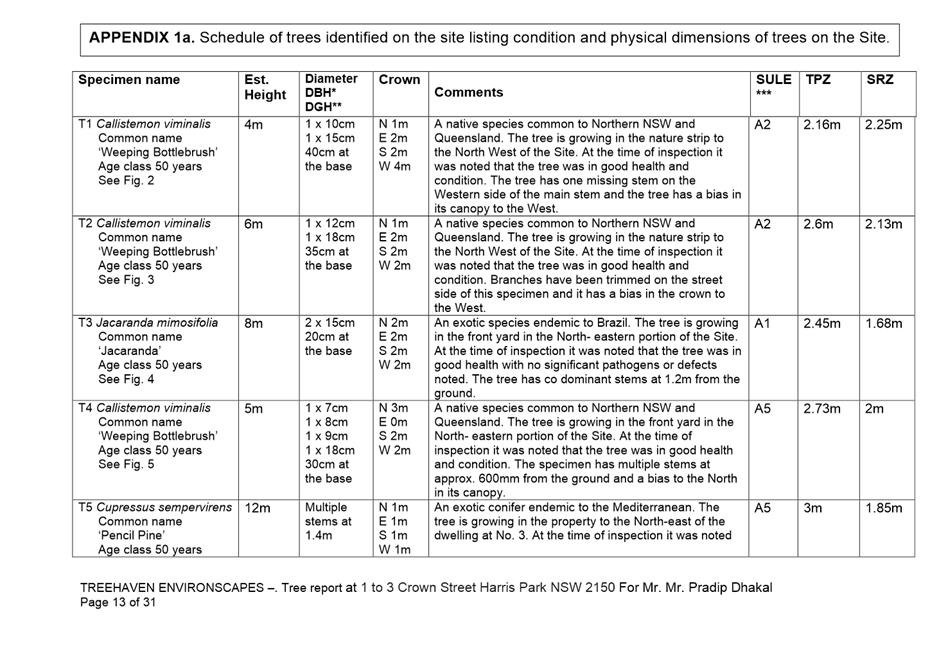
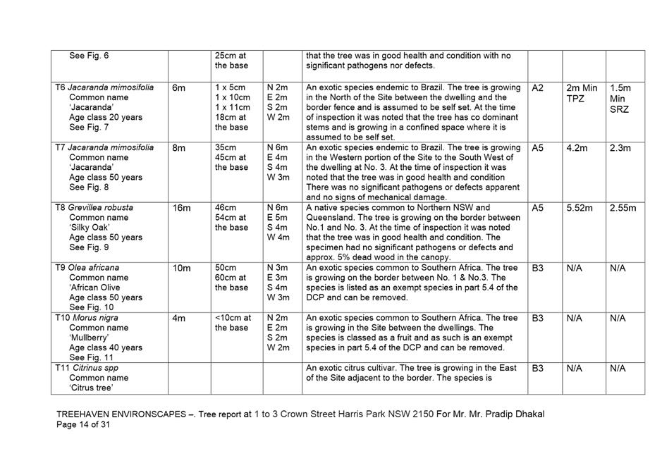
a) Chapter 2: Insufficient information has been provided to
determine the impact, if any, the proposed tree removal will have on the
ecological, heritage, aesthetic and cultural significance of the area. As such,
the aims of Chapter 2 of SEPP (Biodiversity and Conservation) 2021 are unable
to be satisfied.
2. State
Environmental Planning Policy (Resilience and Hazards) 2021
a) Chapter
4: Insufficient information has been submitted demonstrating that the subject
site is suitable or can be made suitable for its proposed use. As such, the
object and aims of Chapter 4 of SEPP (Resilience and Hazards) 2021 are unable
to be satisfied.
3. Parramatta
Local Environmental Plan 2011
a) Clause
1.2(f) ‘Aims of Plan’: The proposal fails to satisfy Aim (f) of the
Parramatta Local Environmental Plan 2012 (PLEP 2012). Insufficient and
inaccurate information has been provided to enable an assessment to be
undertaken determining the proposed development will protect and enhance the
natural environment.
b) Clause
4.3 ‘Height of Buildings’: The proposal does not
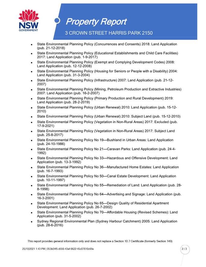
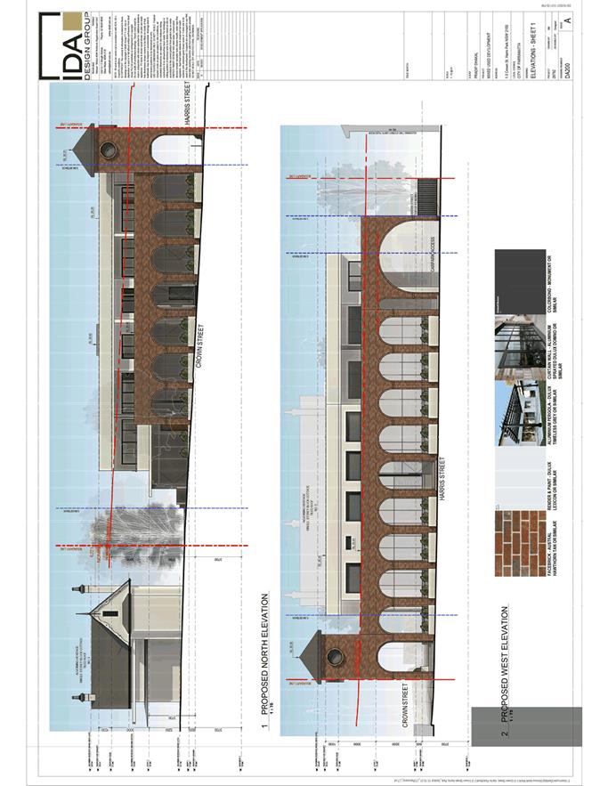
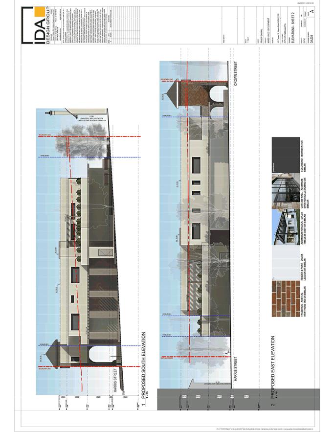
comply with the maximum 6m building height development standard detailed in Clause 4.3 of the PLEP. The proposed building height is 10.90m, which
is an 81% variation to the development standard. The objectives of this
standard are not met.
c) Clause
4.6 ‘Exceptions to Development Standards’: Compliance with the
Height of Buildings Development Standard is reasonable and necessary and
sufficient environmental planning grounds do not exist to justify contravening
the Development Standard.
d) Clause 5.10 ‘Heritage Conservation’: The proposed
development is not sympathetic to the Experiment Farm Heritage Conservation
area, or surrounding heritage items.
e) Clause
6.2 ‘Earthworks’: As a result of the insufficient documentation
submitted the effect of the proposed earthworks on the amenity of adjoining
properties was unable to be determined. This Development Application fails to
satisfy the Objectives of this Clause
4. Parramatta
Development Control Plan 2011
a) Section
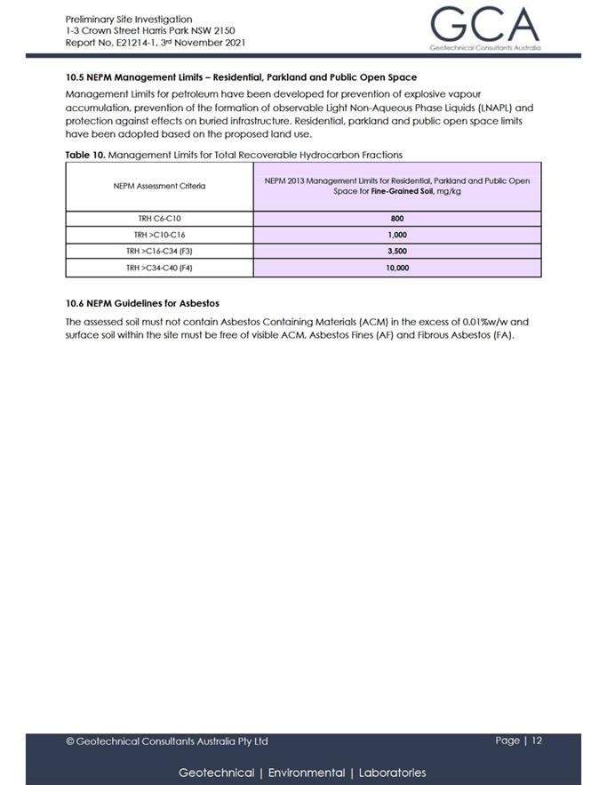
2.4.3: Land Contamination. Insufficient information has been submitted
demonstrating that the subject site is suitable, or can be made suitable for
its proposed use.
b) Section
2.4.6: Development on Sloping Land. The proposed development does not respond
to the topography of the site.
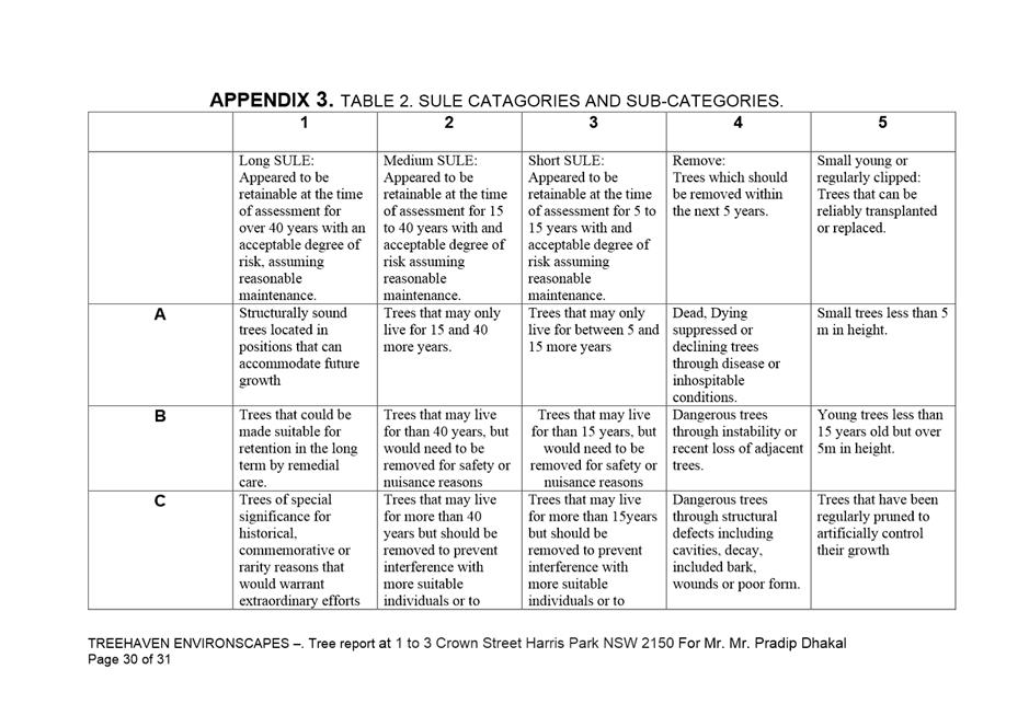
c) Section
2.4.7: Biodiversity. Insufficient information has been provided to determine
the impact, if any, the proposed tree removal will have on the biodiversity of
the City of Parramatta.
d) Section
2.4.8: Public Domain. The proposal as submitted does not enhance the quality of
the public domain. The Objectives of this Clause are not met.
e) Section
3.1.3: Preliminary Building Envelope Tables. The proposal does not comply with
the Preliminary Building Envelope Table for Shop top Housing.
f) Section
3.2.1: Building Form and Massing. The building form and mass is not compatible
with the character and spatial characteristics of the locality and surrounding
Experiment Farm Heritage Conservation Area.
g) Section
3.2.2: Building Façade and Articulation. The proposed building does not
complement or enhance neighbourhood or streetscape character.
h) Section
3.2.5: Streetscape. The proposed development is not compatible with the
existing and future character of the locality.
i) Section
3.3.5: Solar Access and Cross Ventilation. Solar access to adjoining and
surrounding properties will be negatively affected by the proposal.
j) Section
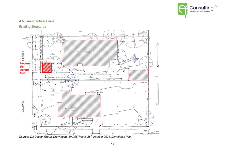
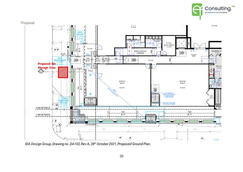
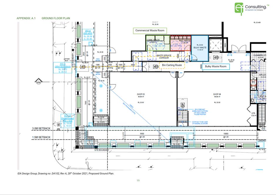
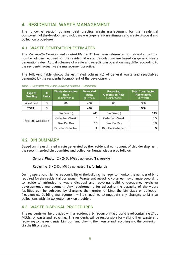
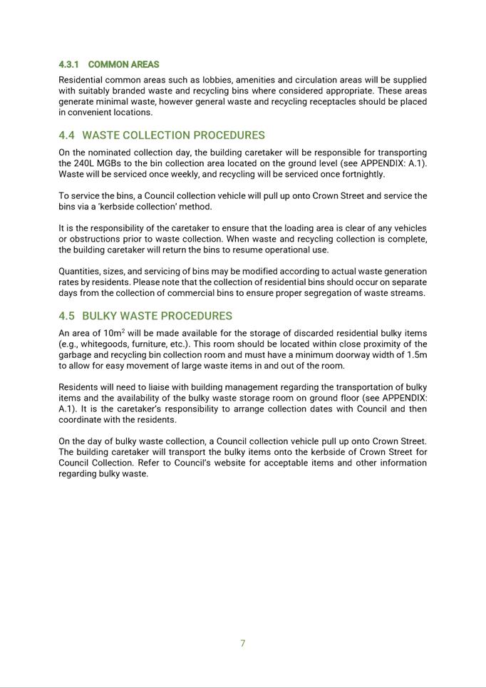
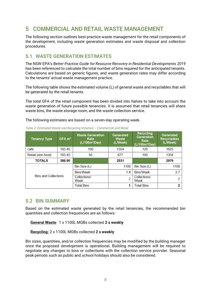
3.3.7: Waste Management. The proposed waste storage facilities are not
appropriately located. The Objectives of this Clause are not met.
k) Section
3.4.4: Safety and Security. Natural surveillance and compliance with CPTED
principles is not achieved from the ground floor communal open space.
l) Section
3.5: Heritage. The proposal does not reinforce the attributes that contribute
to the heritage significance of the surround heritage item or Experiment Farm
Conservation area.
5. Insufficient
information
a) The
public domain details provided by the applicant does not provide adequate
street tree planting and footpath details as required under Section 2.12.8 of
the PDCP 2011.
6. The
Public Interest
a) Based
on the assessment contained in this report, approval of the development is
contrary to the public interest.
Alicia Hunter
Senior Development Assessment Officer
Sarah Irani
Team Leader Development Support
Attachments:
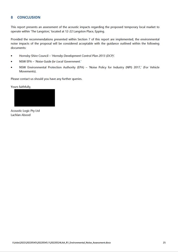
|
1⇩ 
|
Assessment Report
|
33 Pages
|
|
|
2⇩ 
|
Locality Plan used during assessment
|
1 Page
|
|
|
3⇩ 
|
Architectural Plans (External and Commercial)
used during assessment
|
15 Pages
|
|
|
4
|
Architectural Plans (Internal) used
during assessment (confidential)
|
5 Pages
|
|
|
5
|
Landscape Plans used in Assessment
(confidential)
|
3 Pages
|
|
|
6⇩ 
|
Site Survey used in Assessment
|
1 Page
|
|
|
7⇩ 
|
Civil Plans used in Assessment
|
5 Pages
|
|
|
8
|
Statement of Environmental Effects used
in Assessment (confidential)
|
75 Pages
|
|
|
9⇩ 
|
SEPP 65 Design Statement used in
Assessment
|
7 Pages
|
|
|
10⇩ 
|
Clause 4.6 Statement for Height Variation
|
17 Pages
|
|
|
11
|
Acoustic Report used during assessment
(confidential)
|
31 Pages
|
|
|
12⇩ 
|
BCA Report used during assessment
|
43 Pages
|
|
|
13⇩ 
|
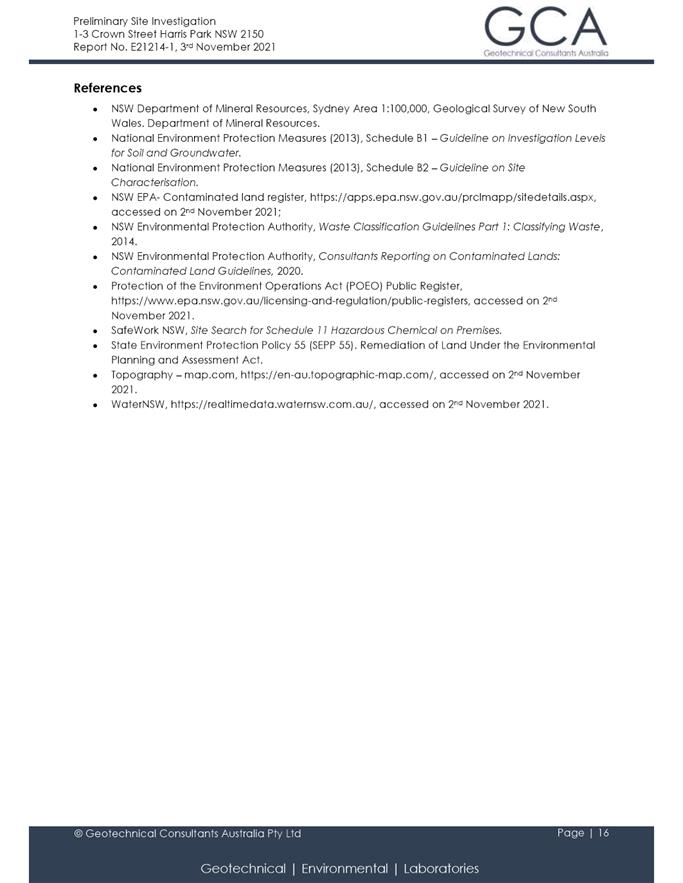
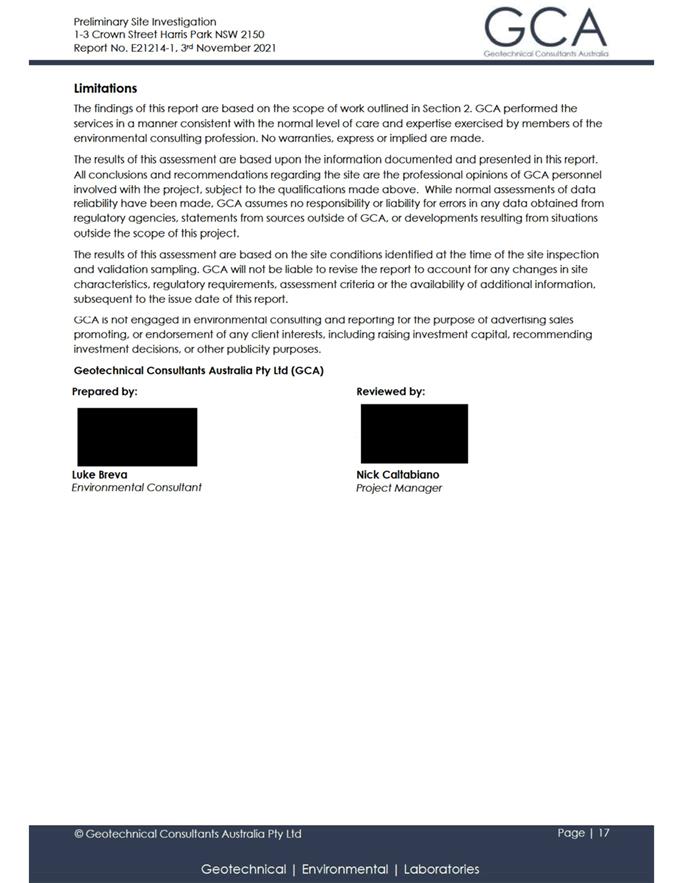
Preliminary Site Investigation used
during assessment
|
82 Pages
|
|
|
14⇩ 
|
Detailed Site Investigation used during
assessment
|
190 Pages
|
|
|
15⇩ 
|
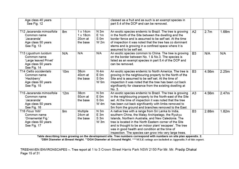
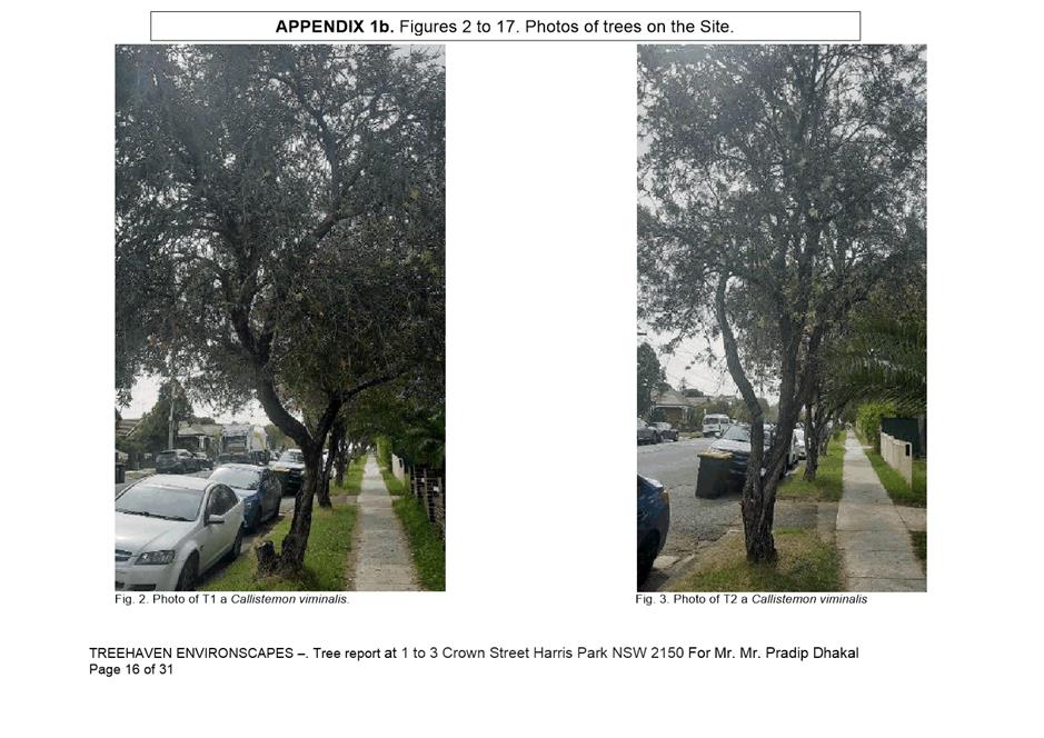
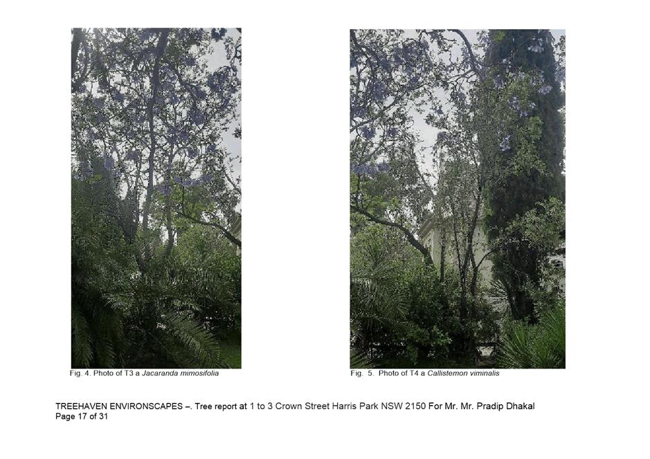
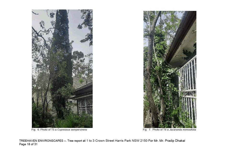
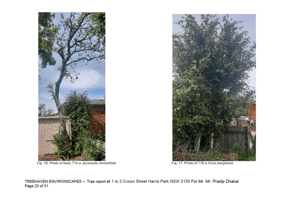
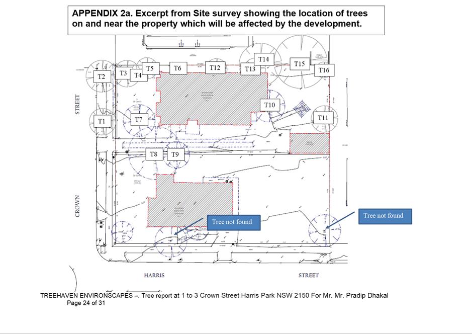
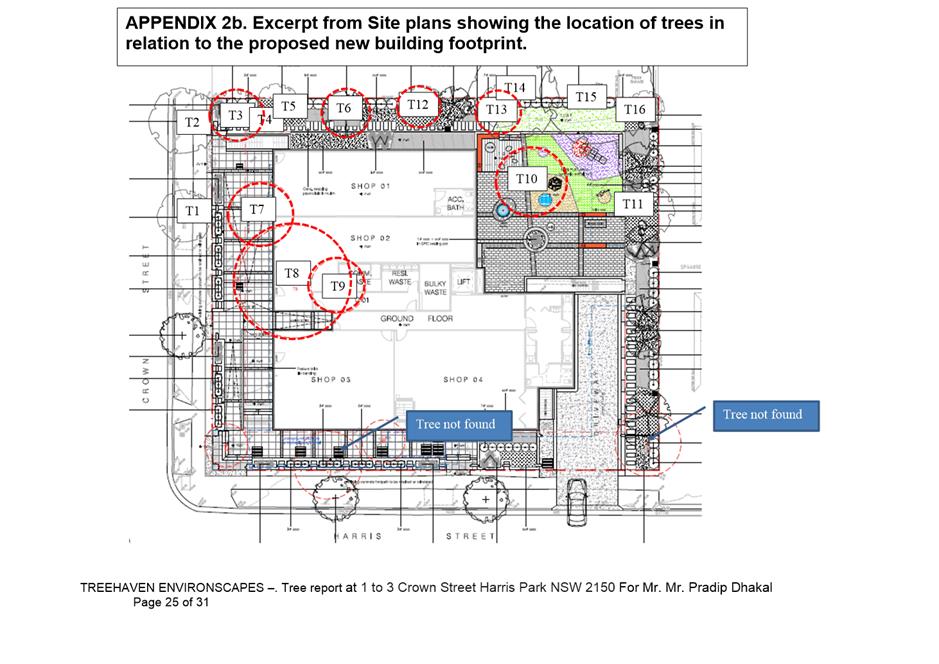
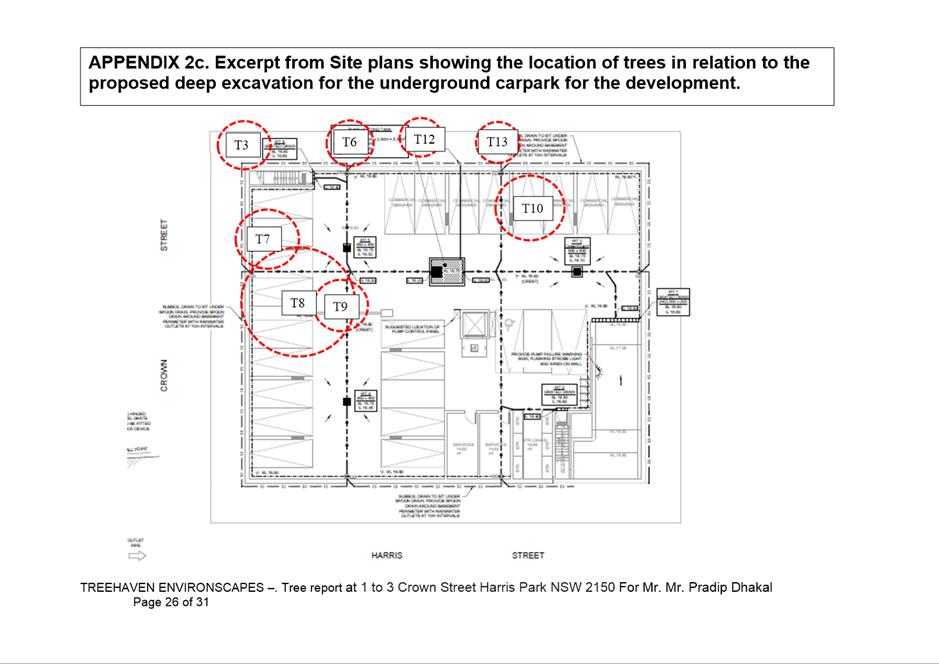
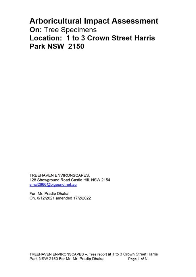
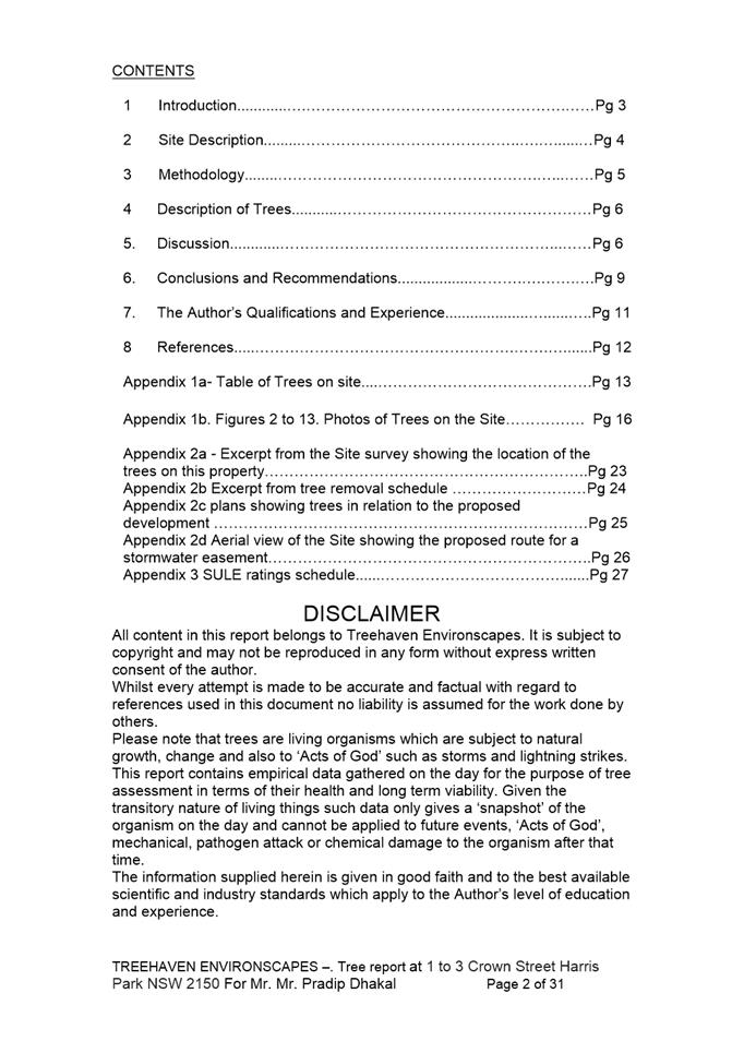
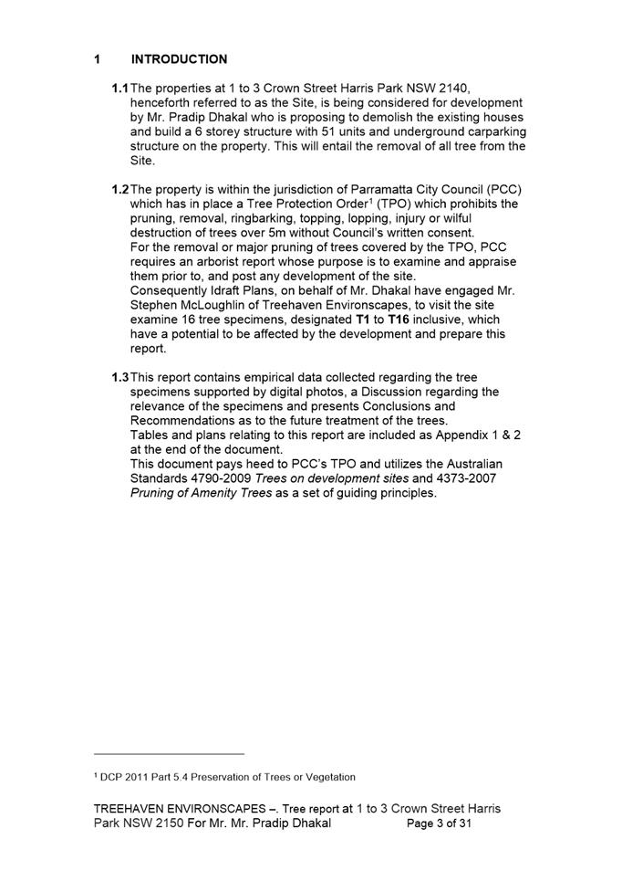
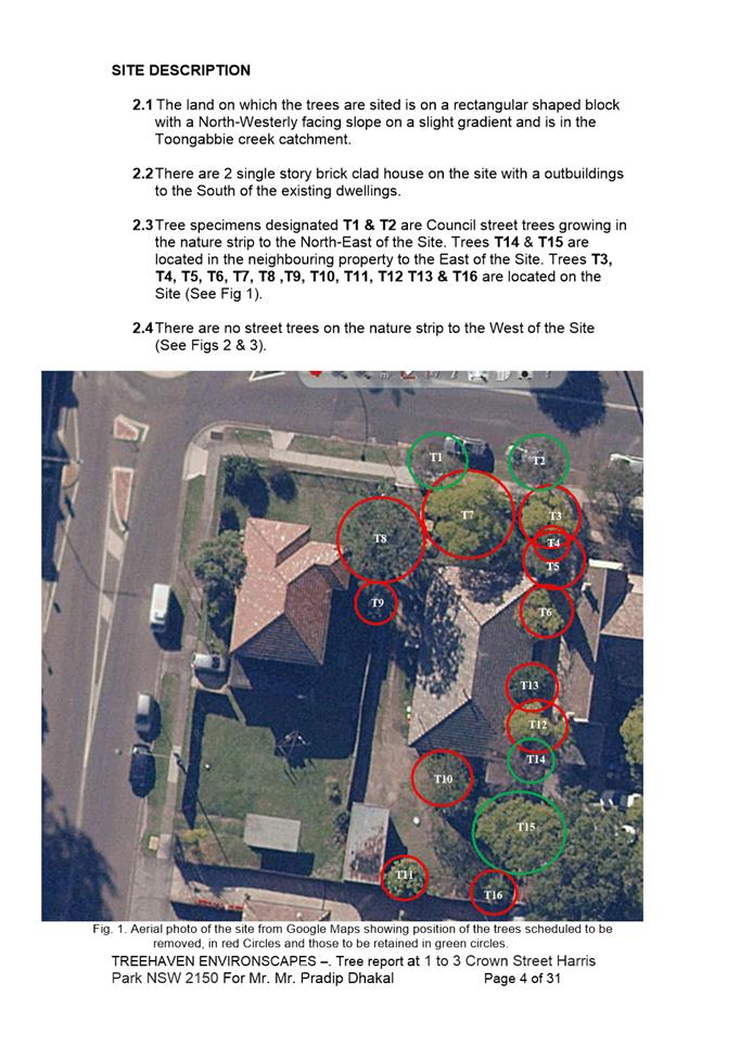
Arboricultural Impact Assessment used
during assessment
|
31 Pages
|
|
|
16⇩ 
|
Transport Impact Assessment used during
assessment
|
59 Pages
|
|
|
17⇩ 
|
Accessibility Report used during
assessment
|
28 Pages
|
|
|
18⇩ 
|
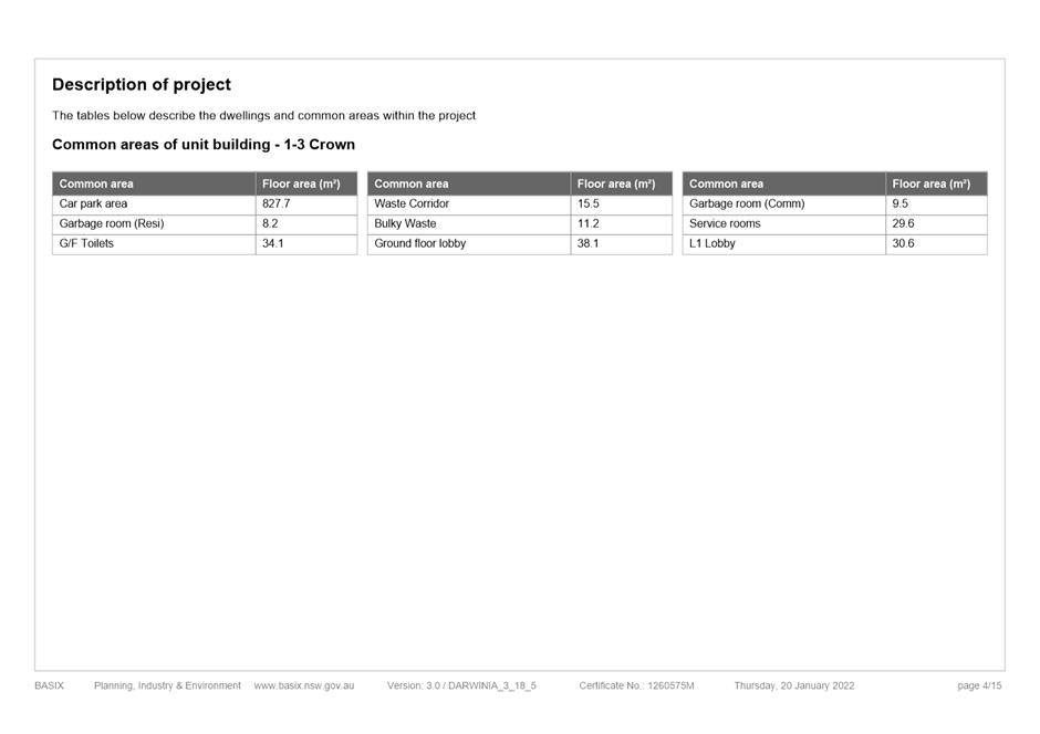
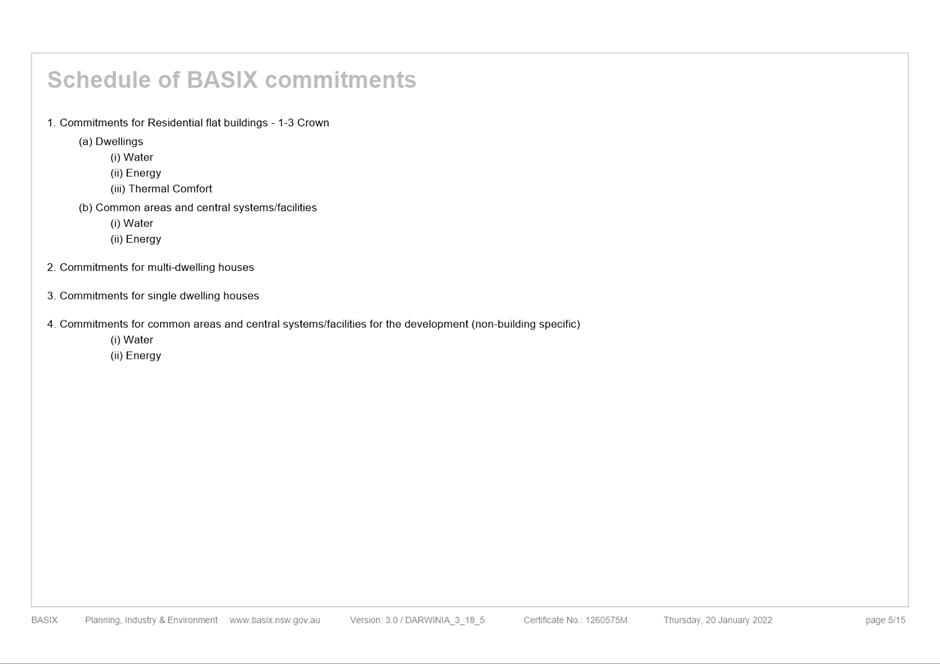
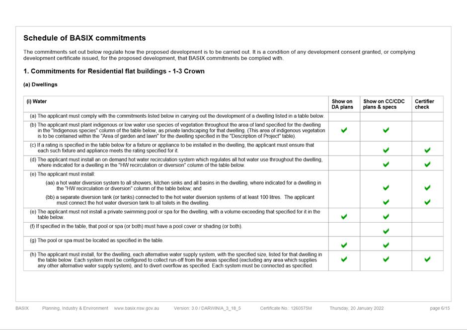
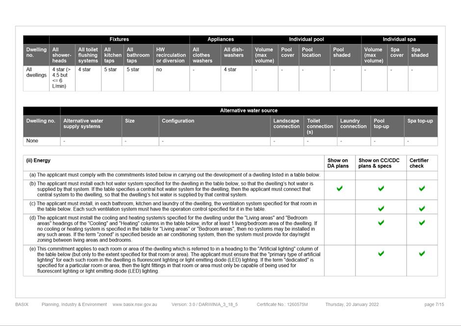
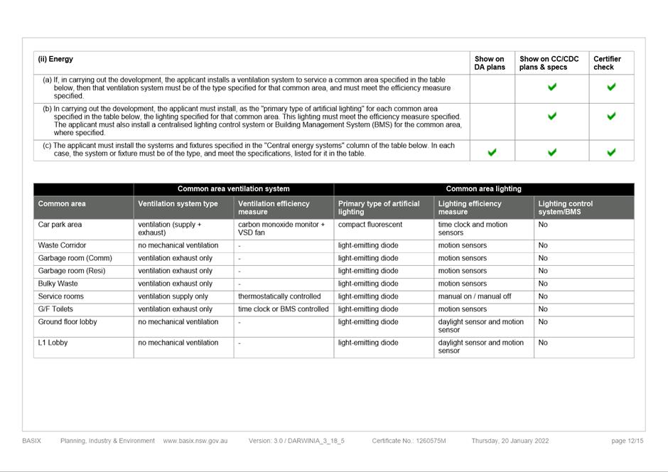
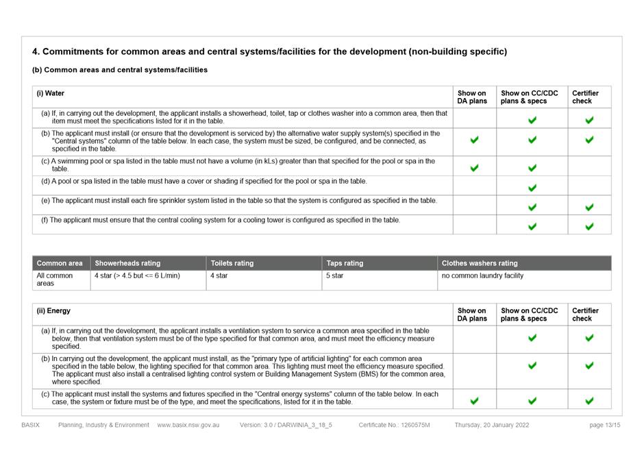
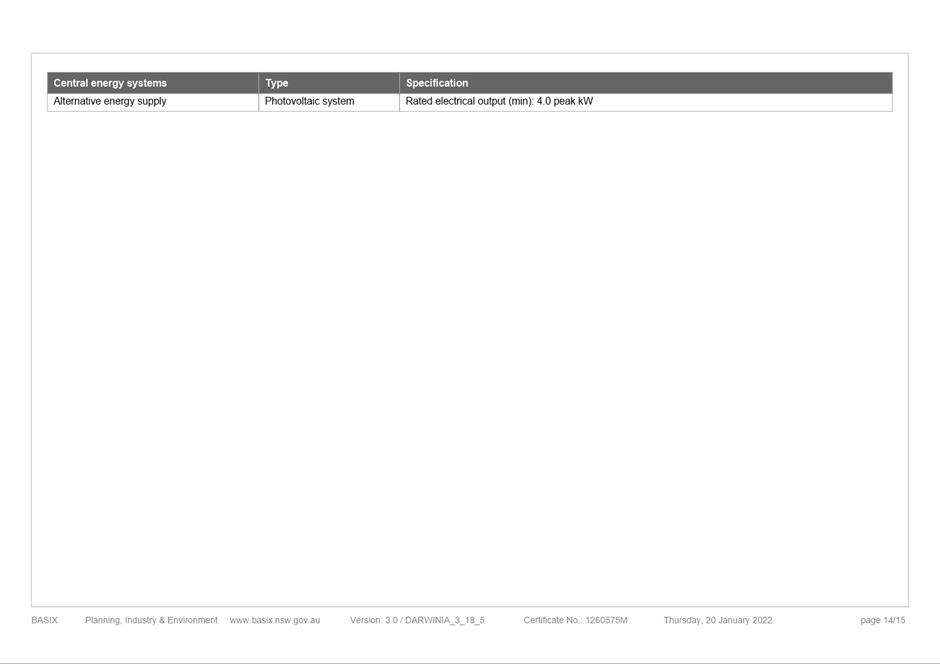
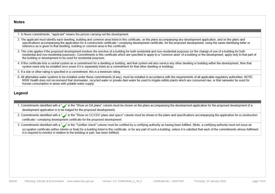
BASIX Certificate used during assessment
|
15 Pages
|
|
|
19⇩ 
|
Heritage Impact Assessment used during
assessment
|
31 Pages
|
|
|
20⇩ 
|
Waste Management Plan used during
assessment
|
23 Pages
|
|
|
21⇩ 
|
Operational Waste Management Plan used
during assessment
|
33 Pages
|
|
|
22⇩ 
|
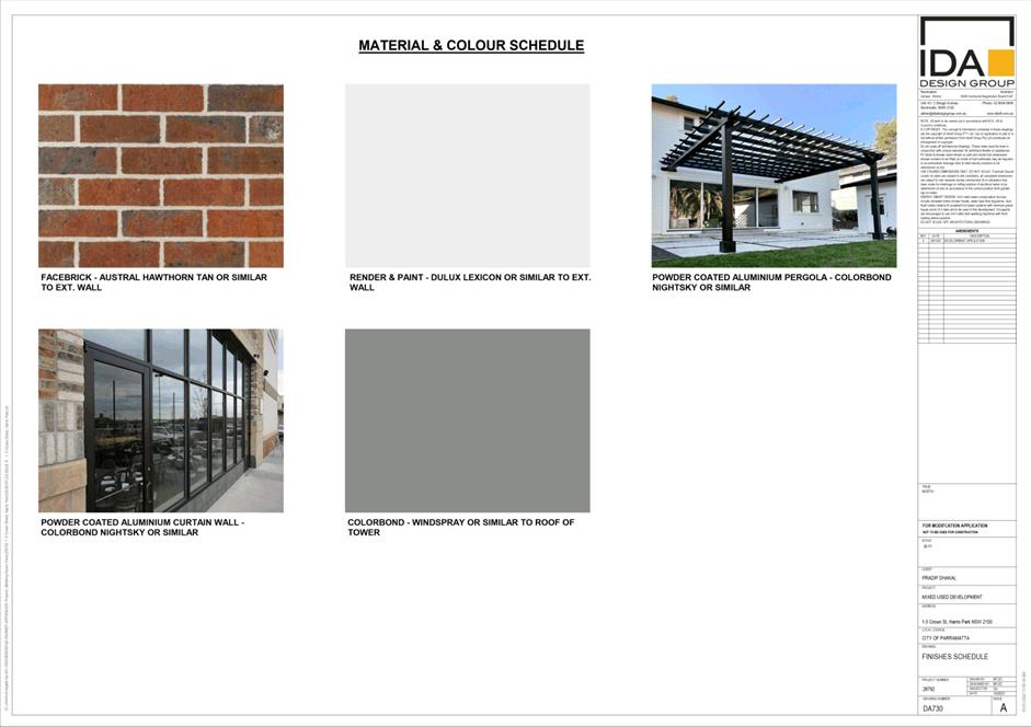
Material Schedule used during assessment
|
1 Page
|
|
REFERENCE MATERIAL
|
Item 5.1 - Attachment
1
|
Assessment Report
|


|
Item 5.1 - Attachment 2
|
Locality Plan used during assessment
|

|
Item 5.1 - Attachment
3
|
Architectural Plans (External and Commercial) used
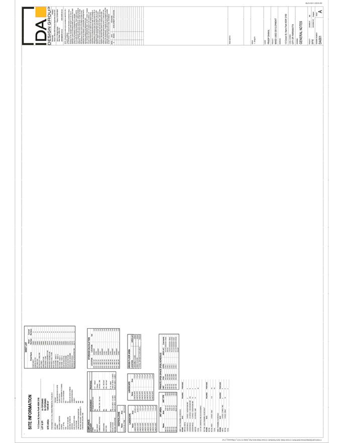
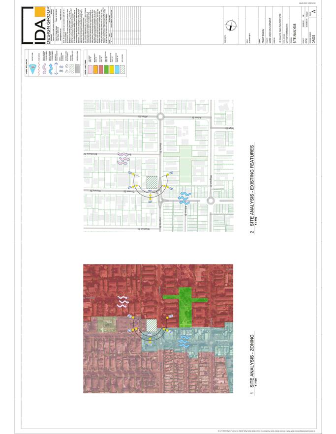
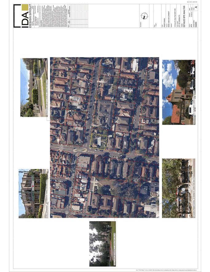
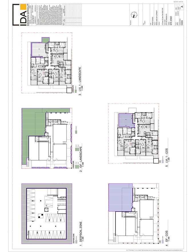
during assessment
|


|
Item 5.1 - Attachment 6
|
Site Survey used in Assessment
|

|
Item 5.1 - Attachment
7
|
Civil Plans used in Assessment
|


|
Item 5.1 - Attachment 9
|
SEPP 65 Design Statement used in Assessment
|


|
Item 5.1 - Attachment 10
|
Clause 4.6 Statement for Height Variation
|


|
Item 5.1 - Attachment 12
|
BCA Report used during assessment
|


|
Item 5.1 - Attachment
13
|
Preliminary Site Investigation used during
assessment
|


|
Item 5.1 - Attachment 14
|
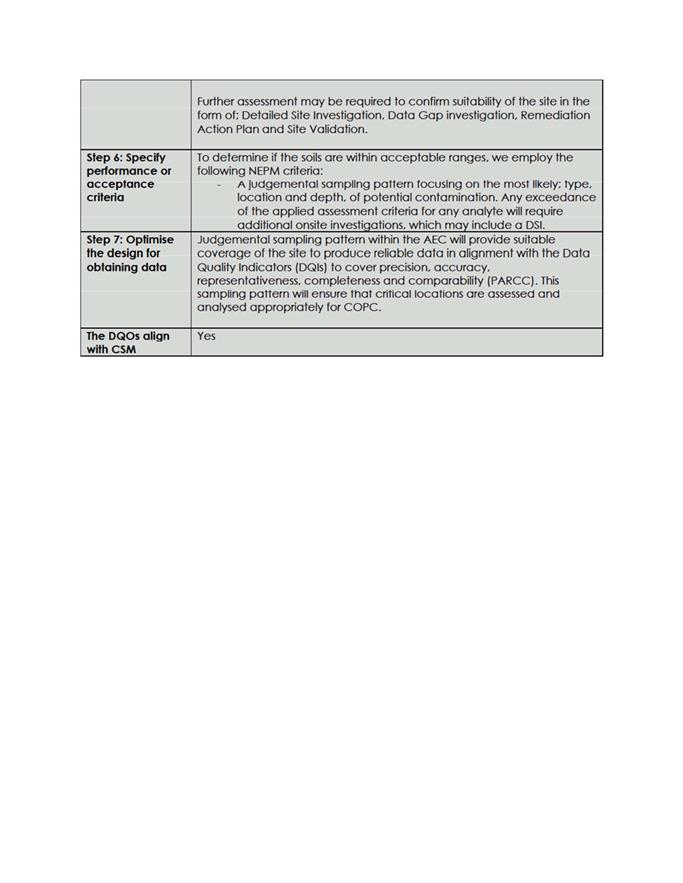
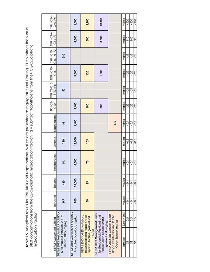
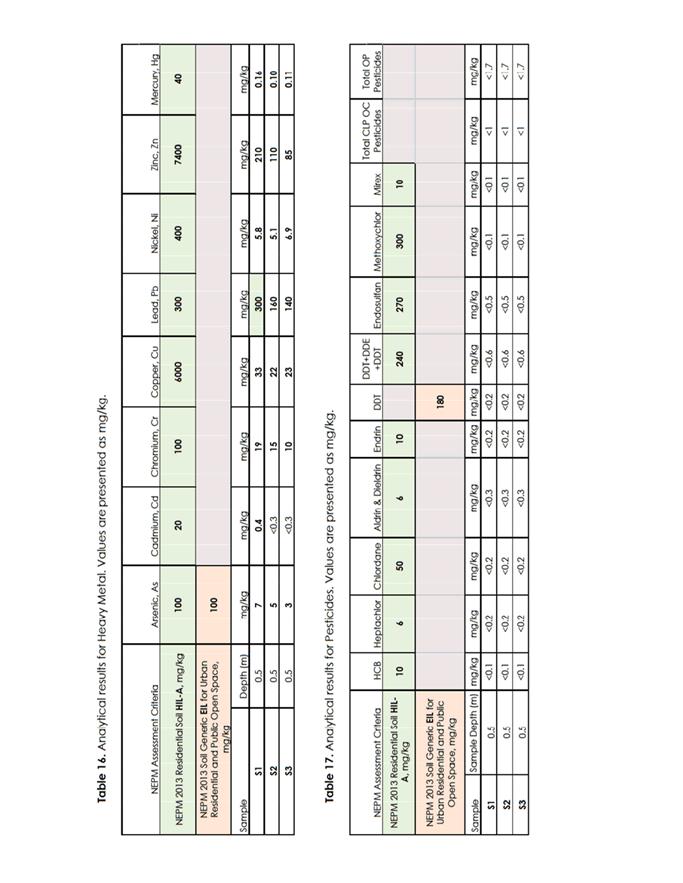
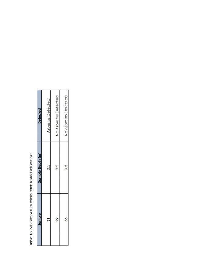
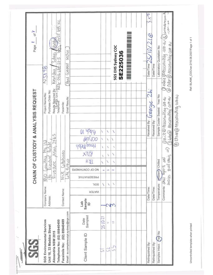
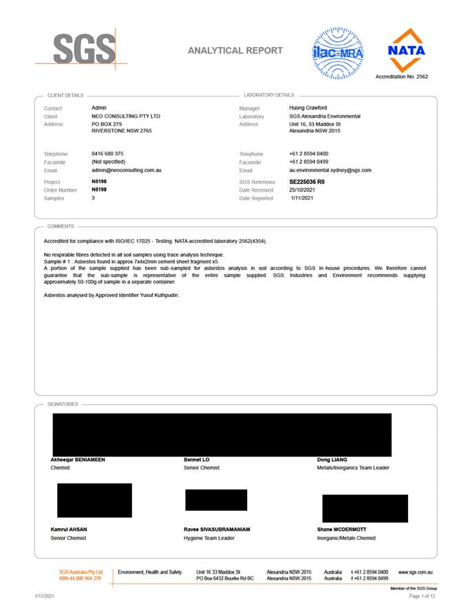
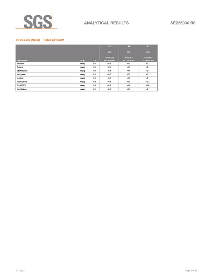
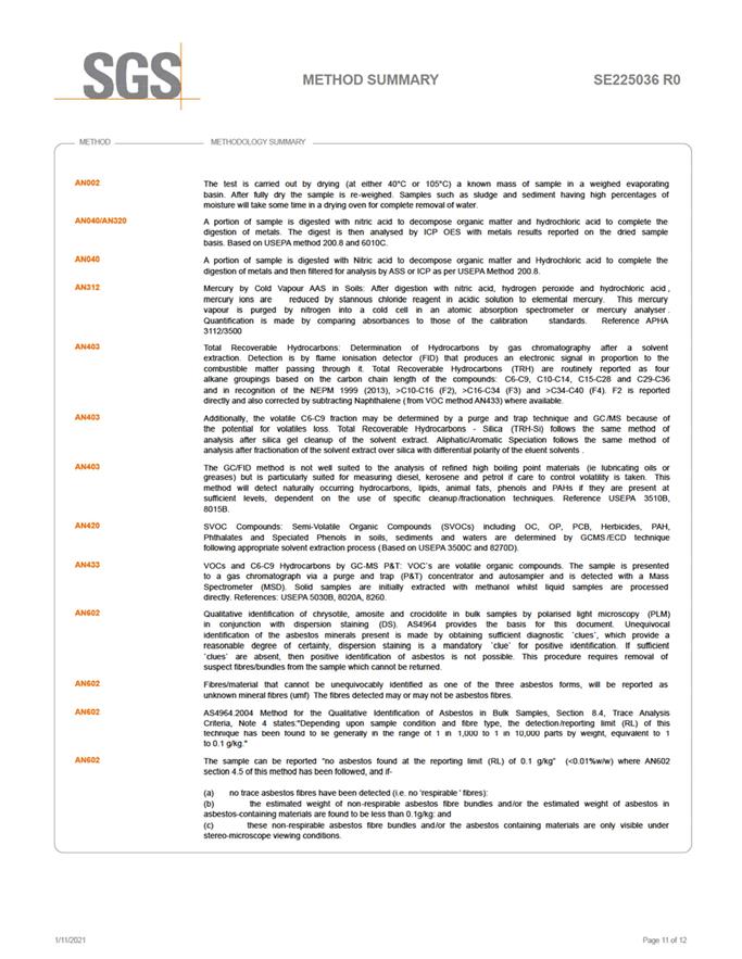
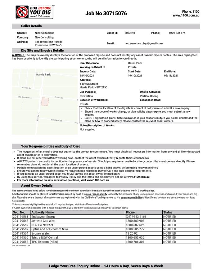
Detailed Site Investigation used during assessment
|











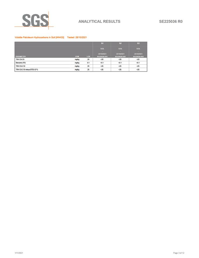
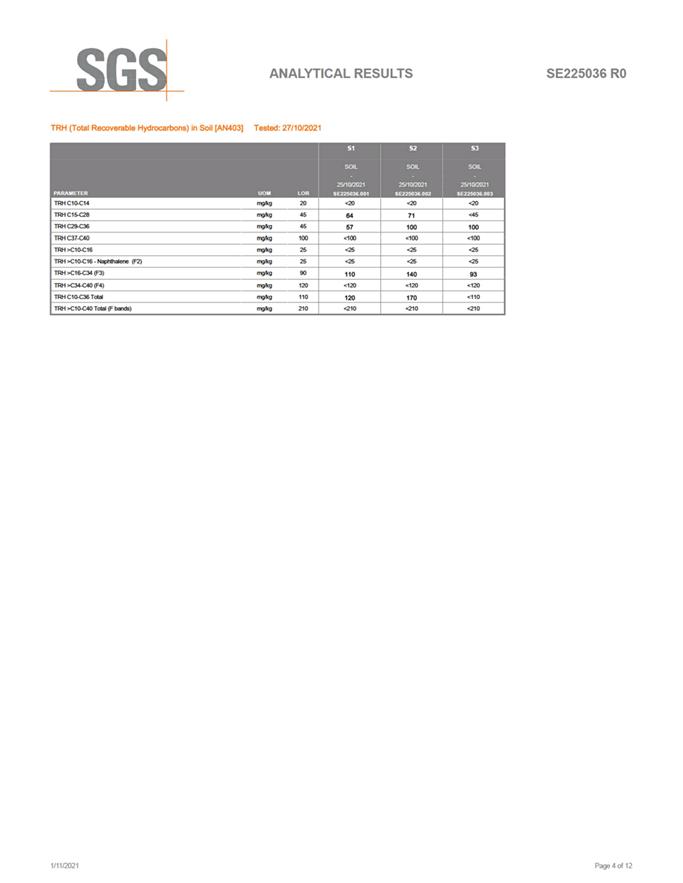
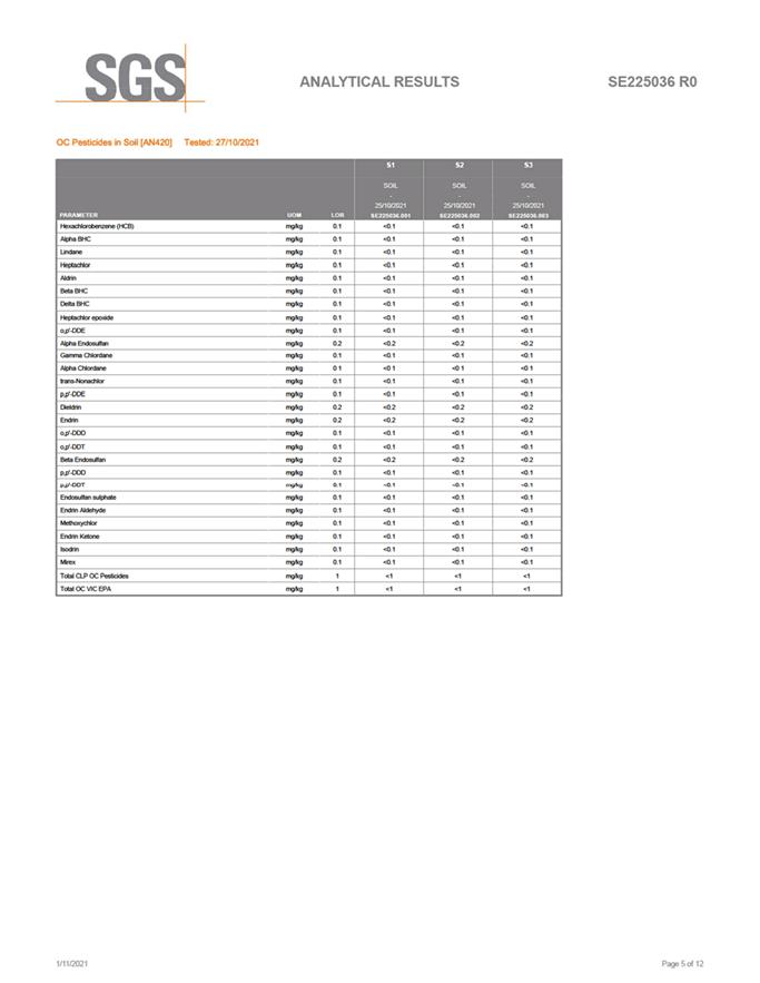
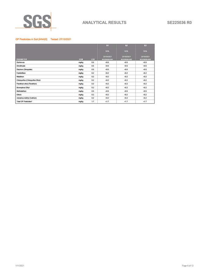
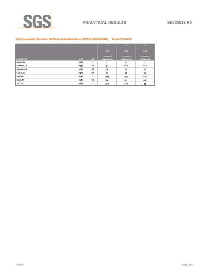
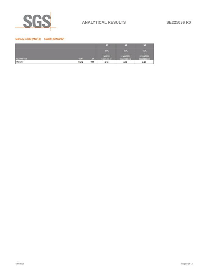
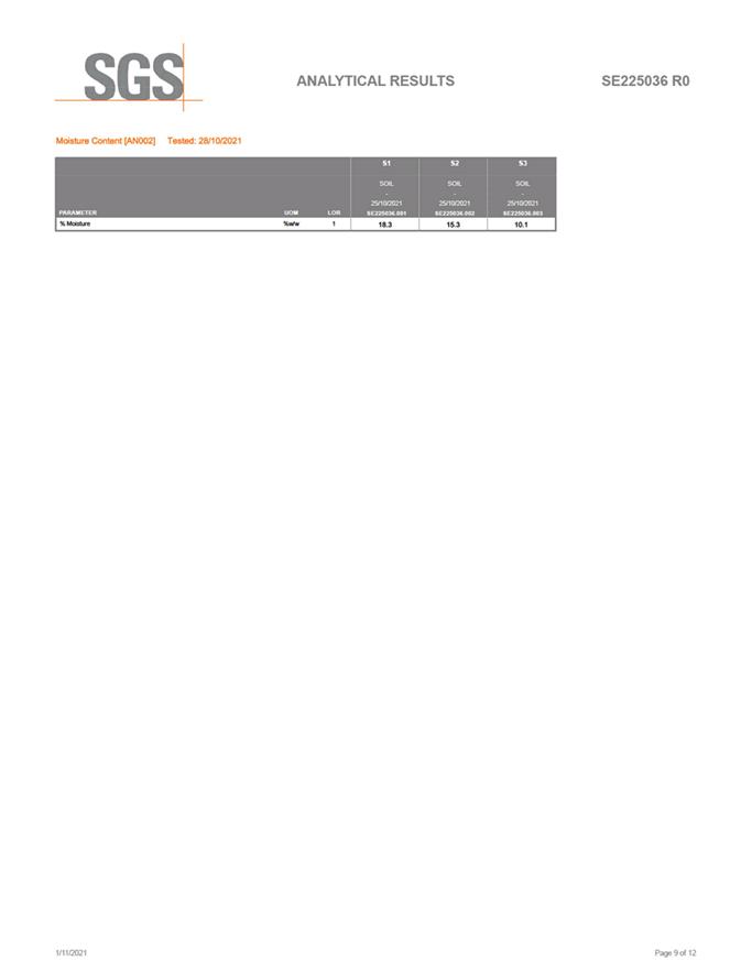
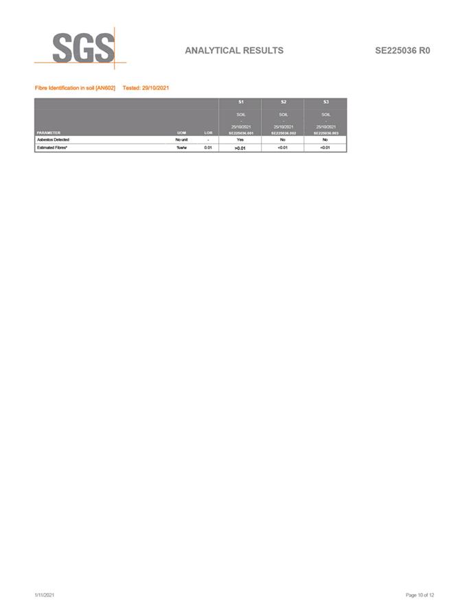
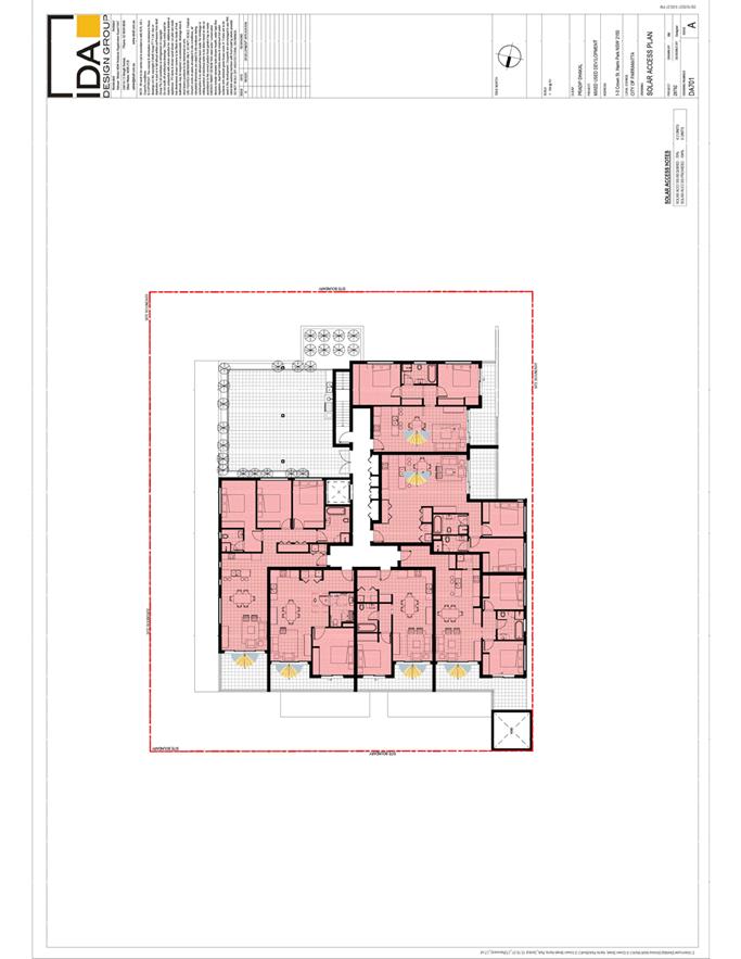
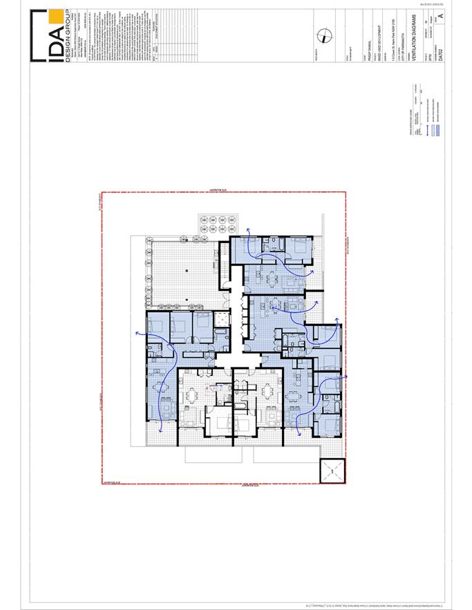
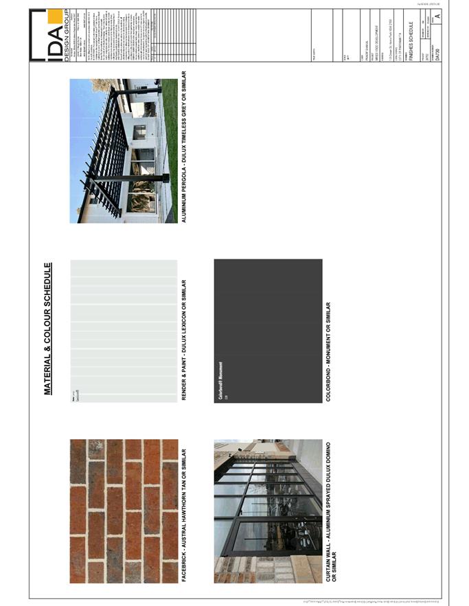
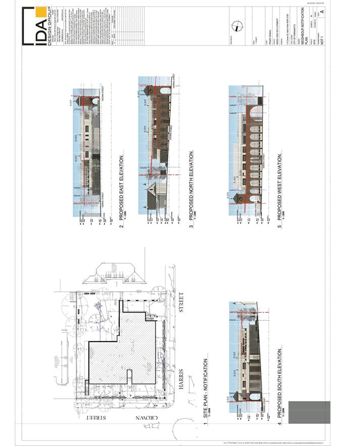
|
Item 5.1 - Attachment 15
|
Arboricultural Impact Assessment used during
assessment
|
|
Item 5.1 - Attachment 16
|
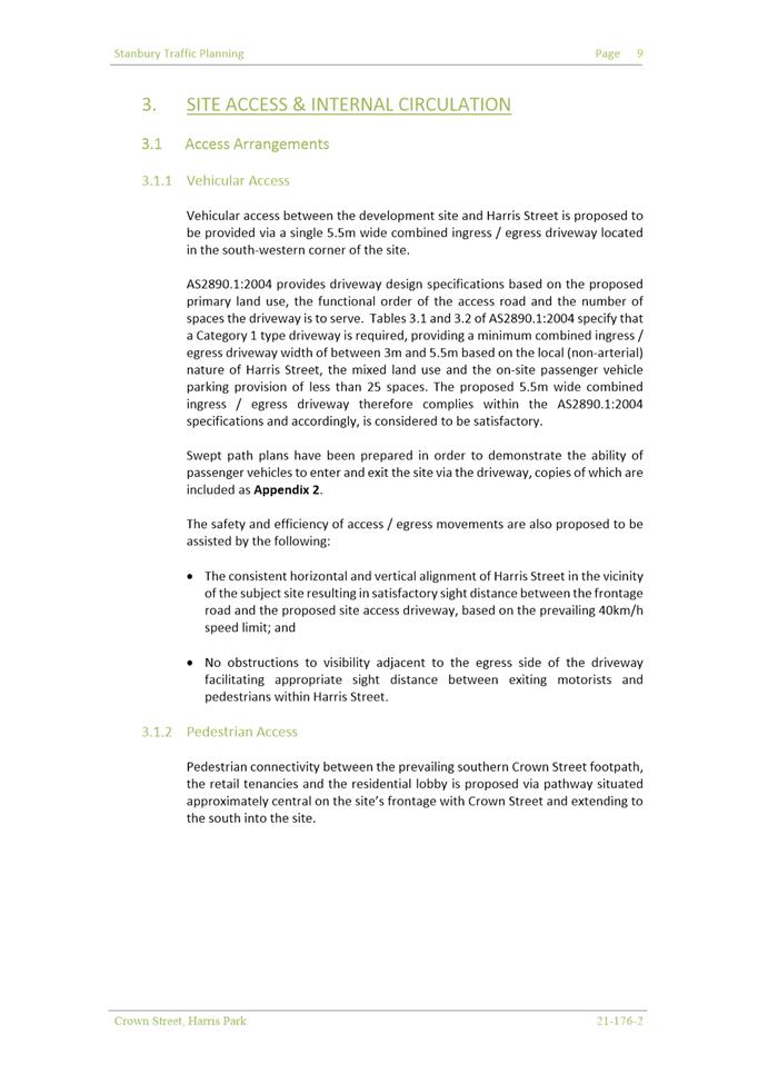
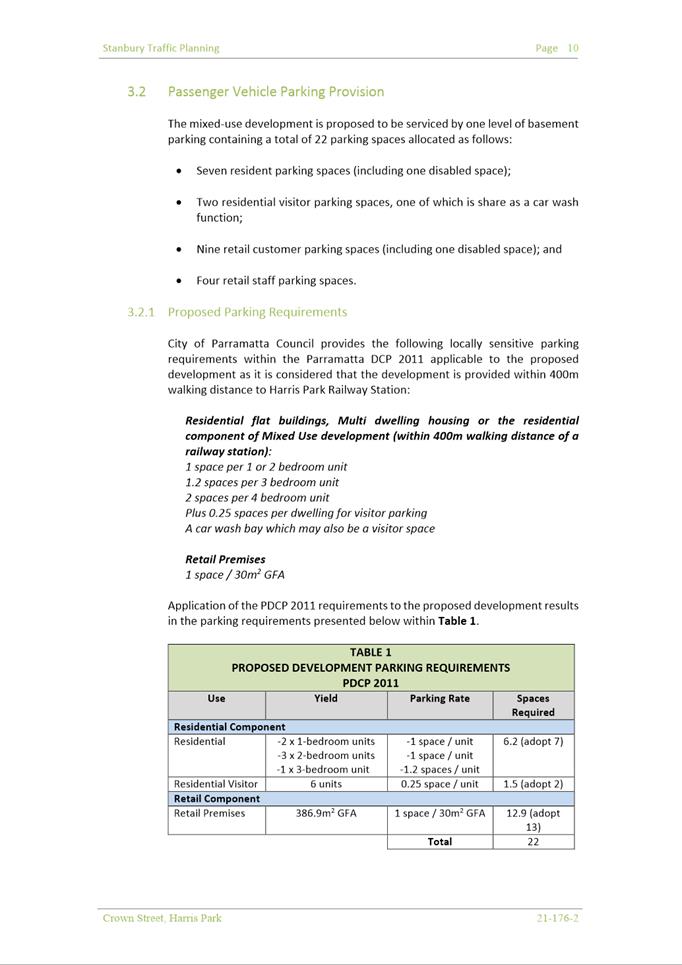
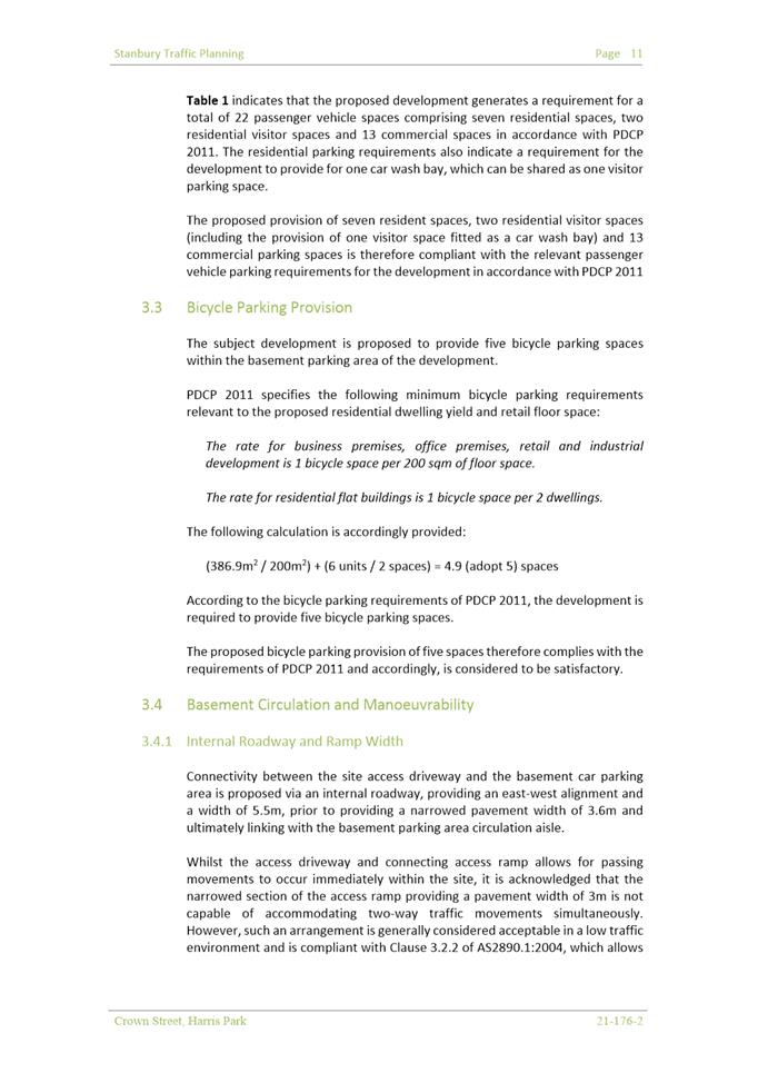
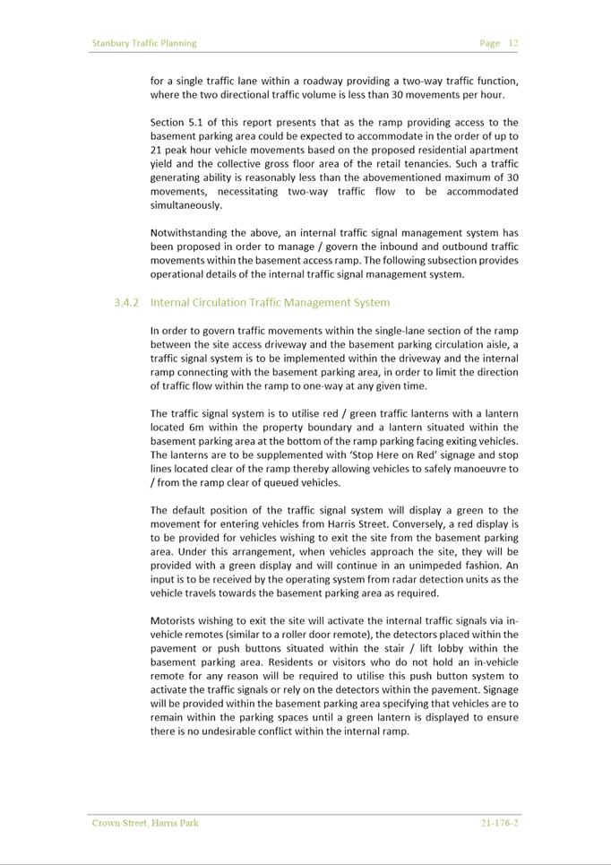
Transport Impact Assessment used during assessment
|
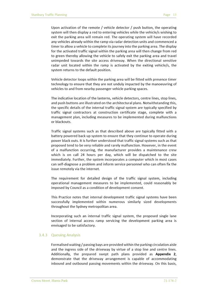
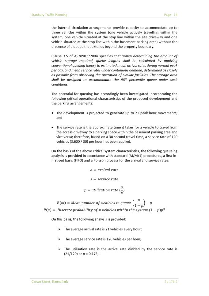
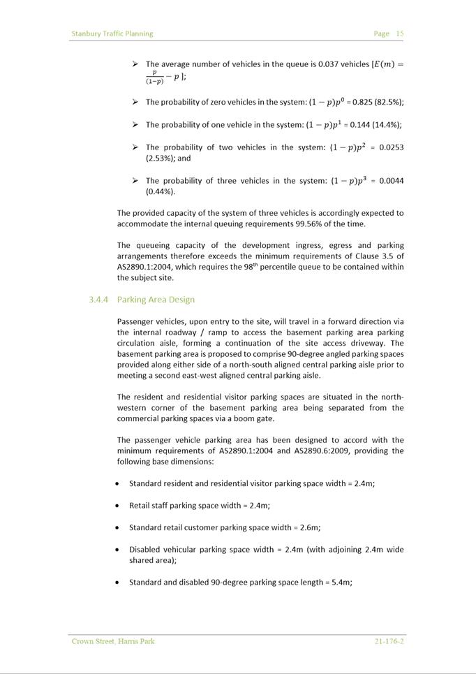
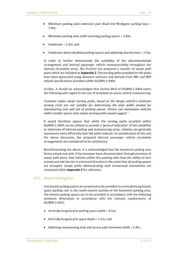
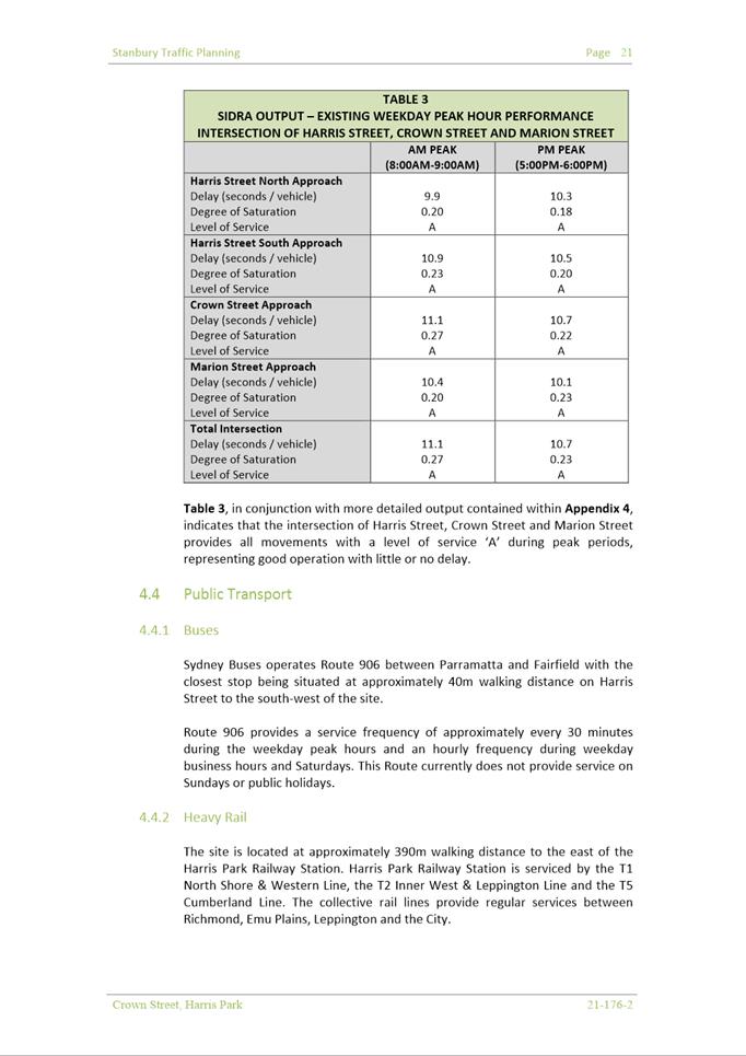
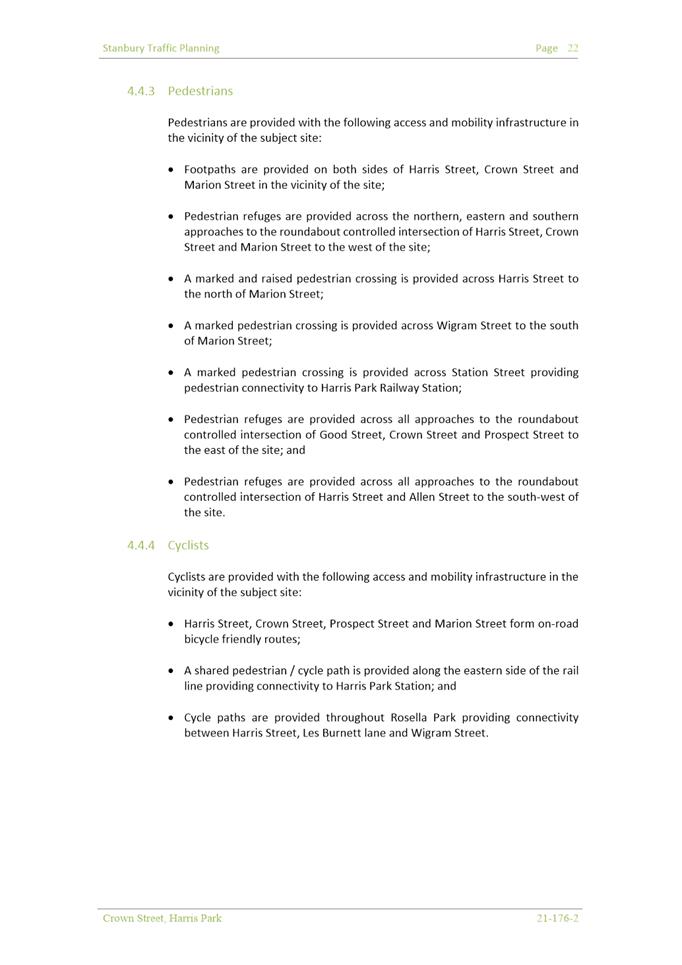
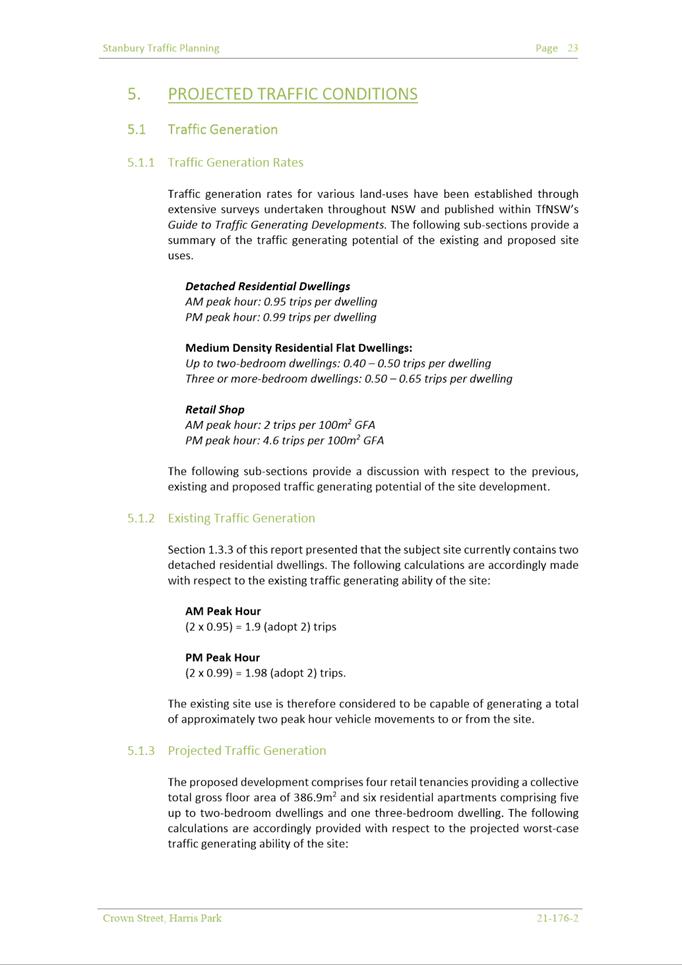
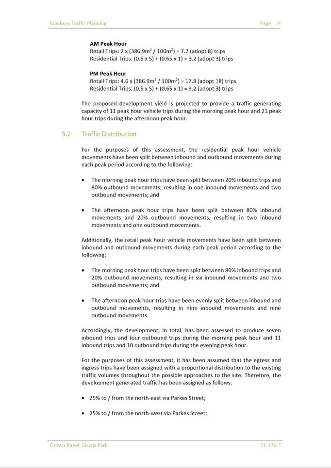
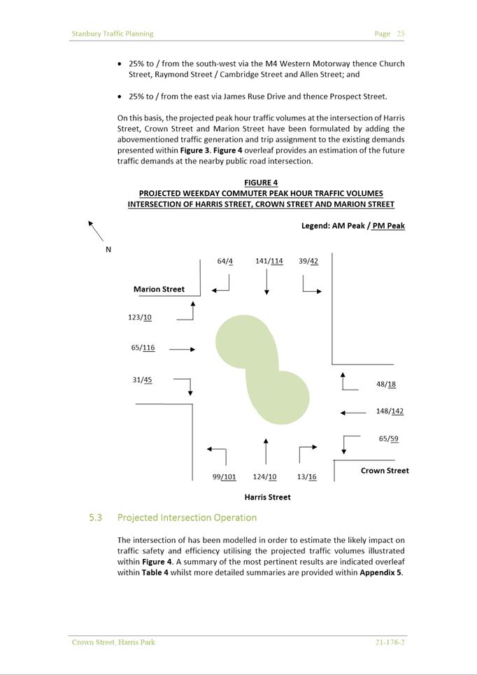
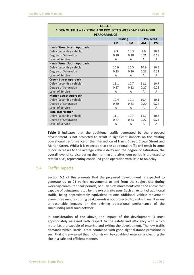
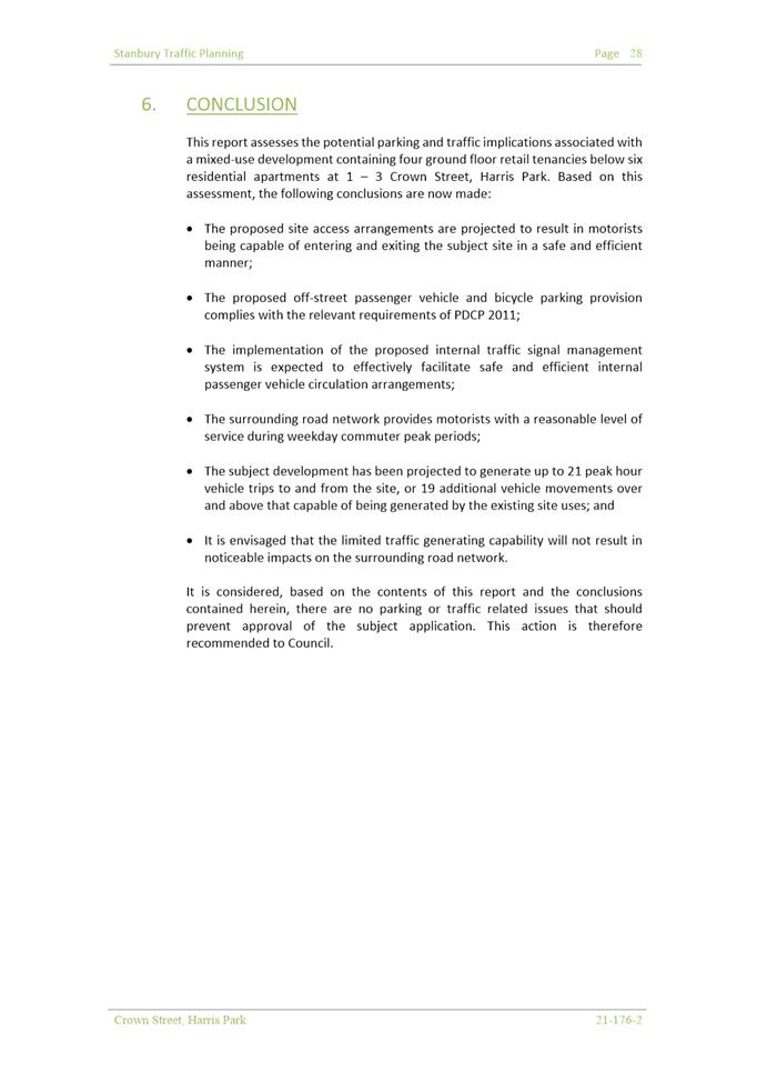
|
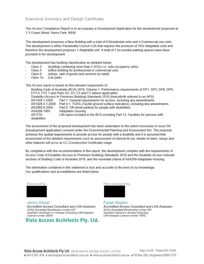
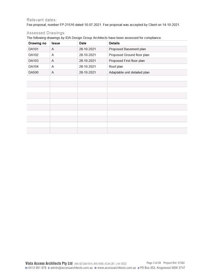
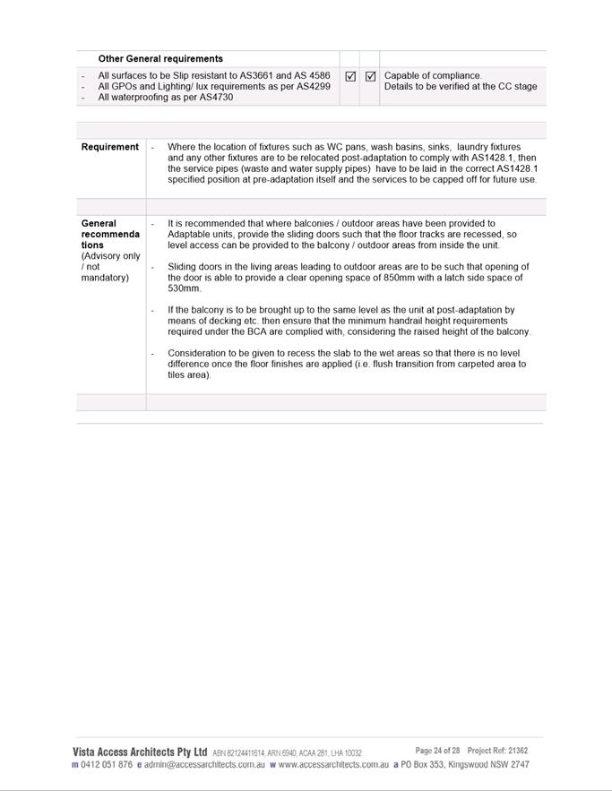
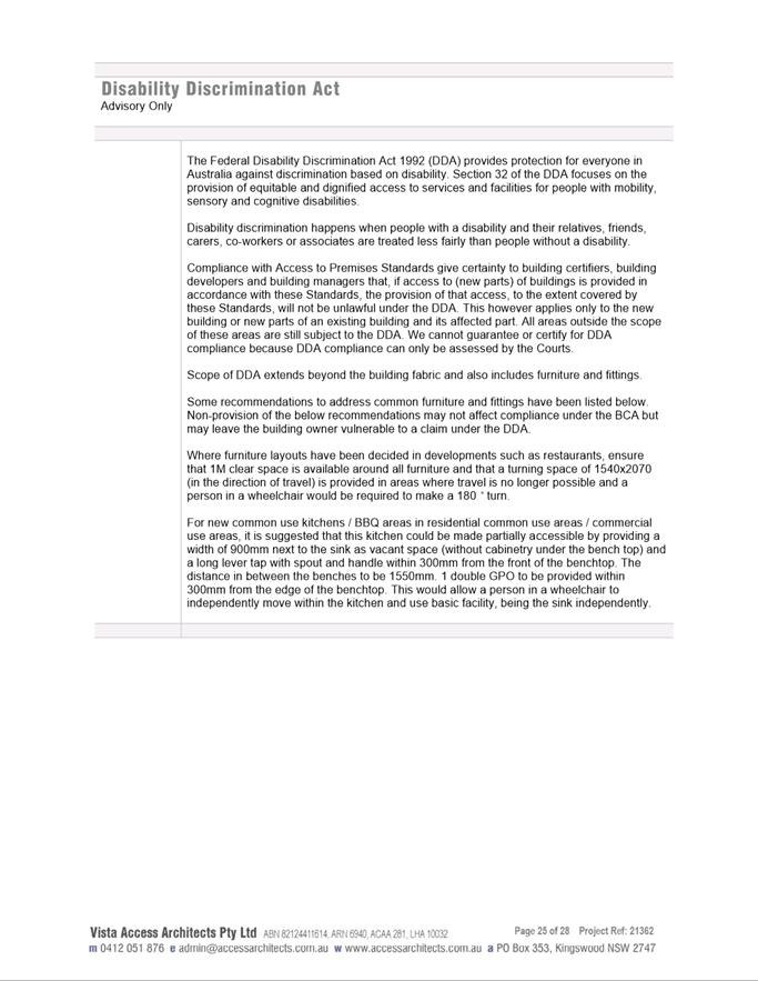
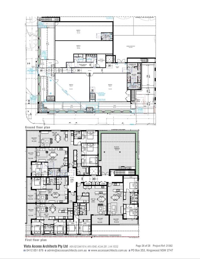
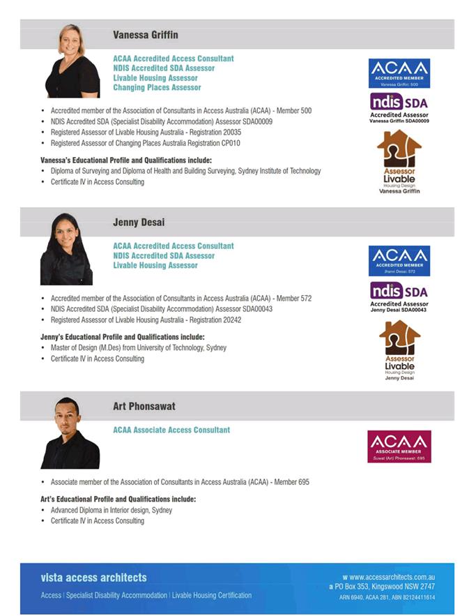
Item 5.1 - Attachment 17
|
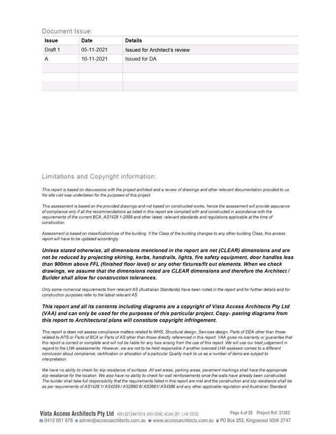
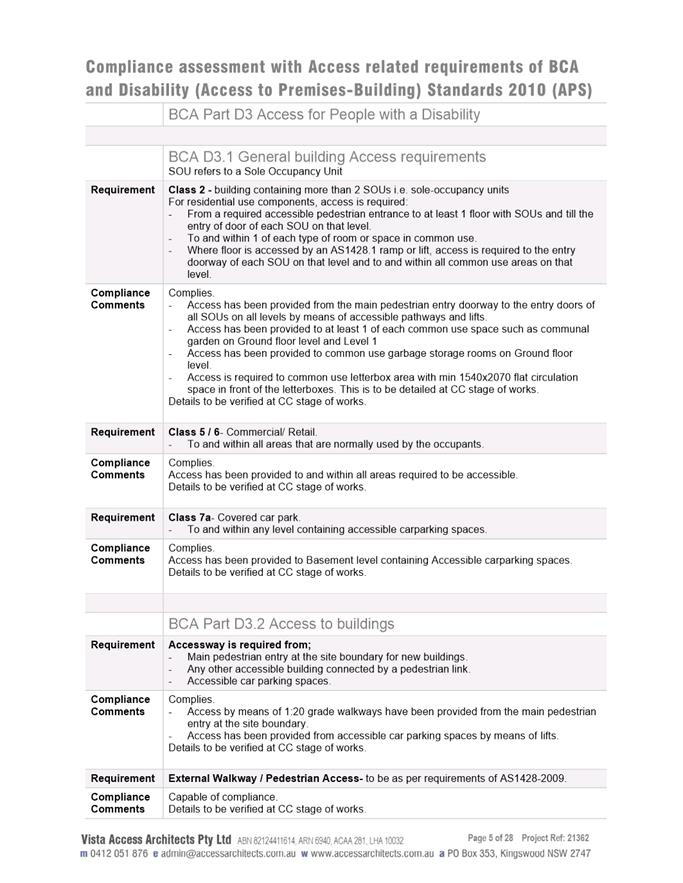
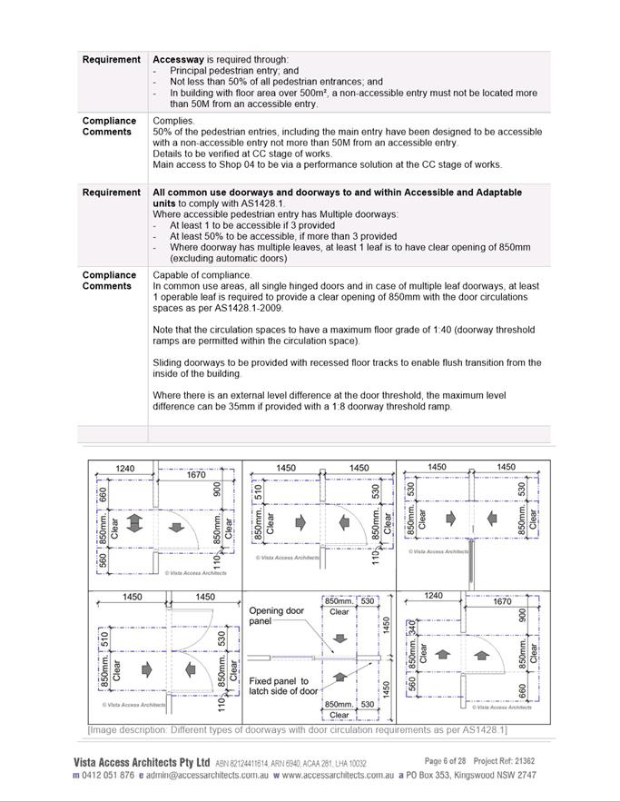
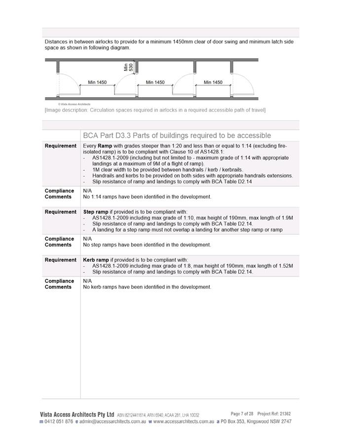
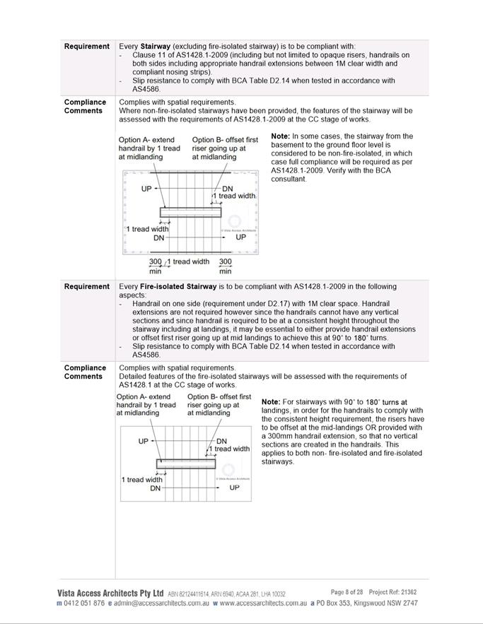
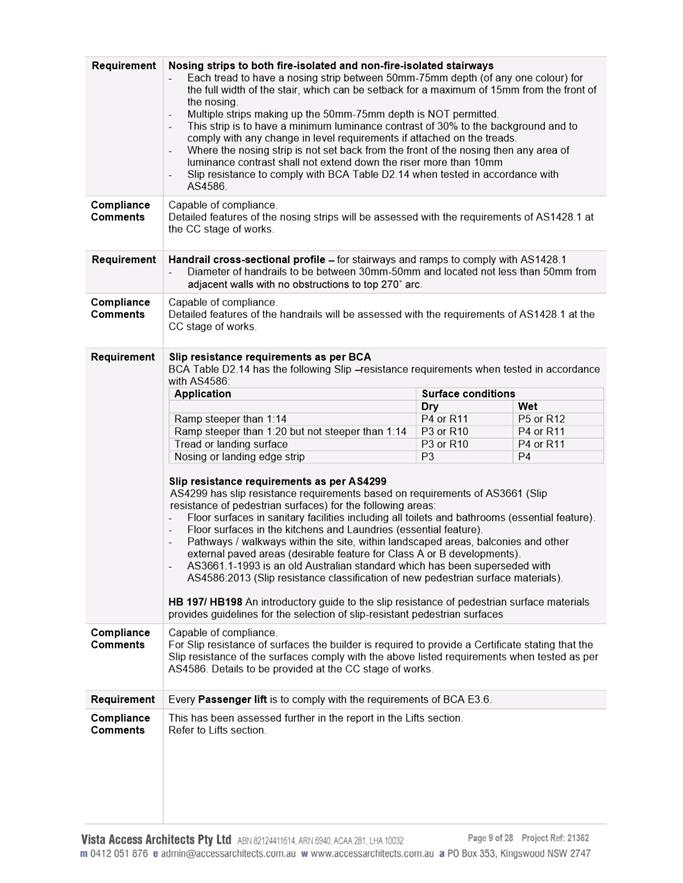
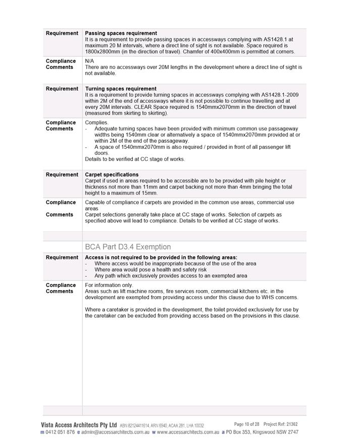
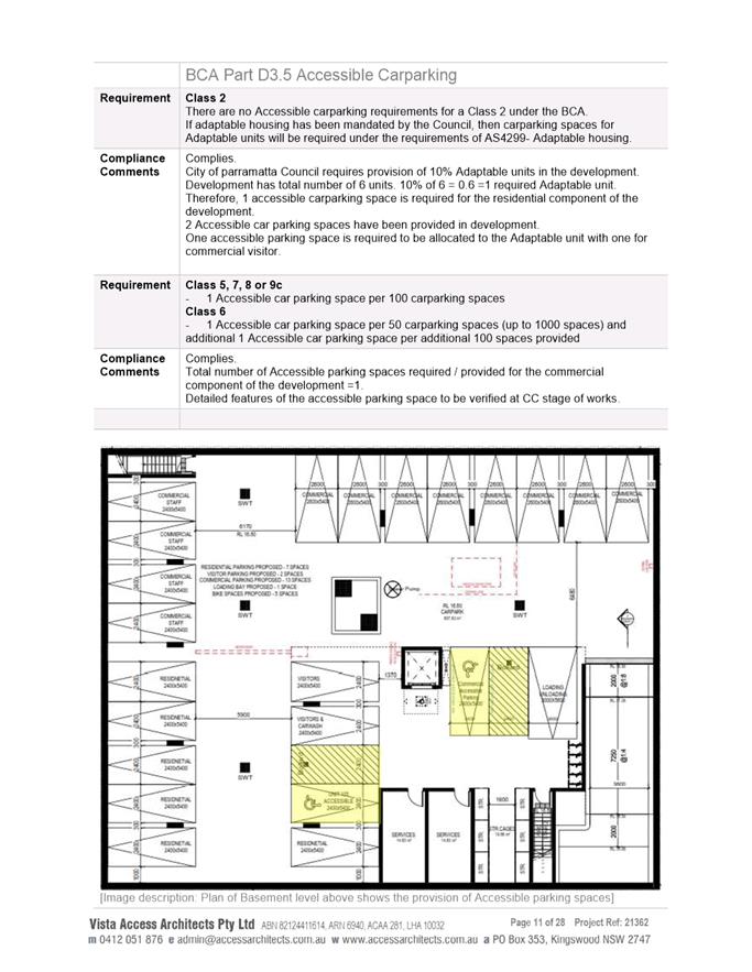
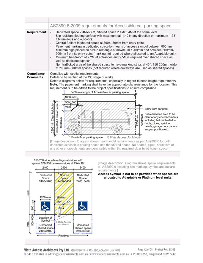
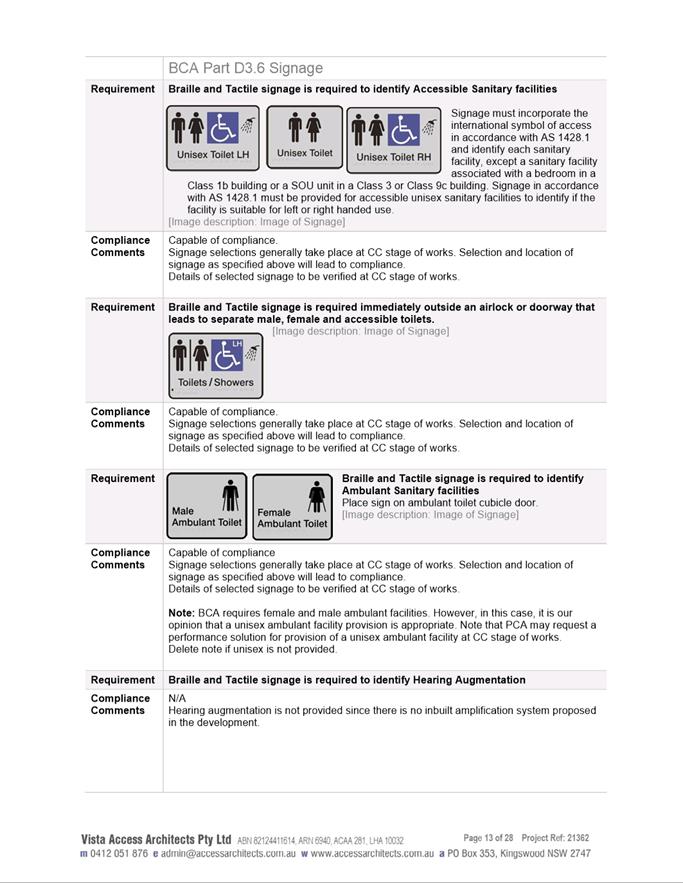
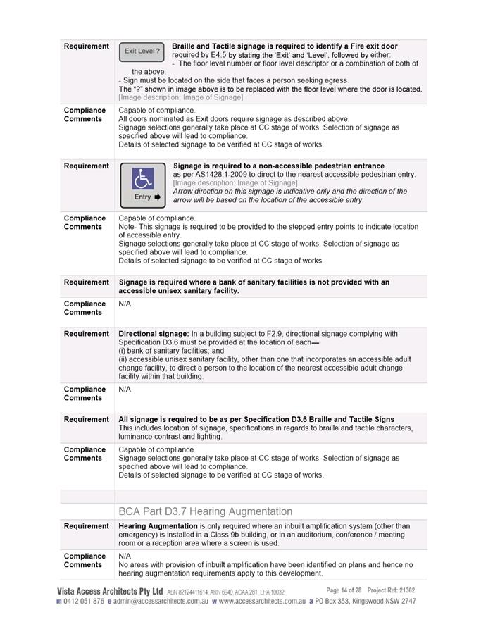
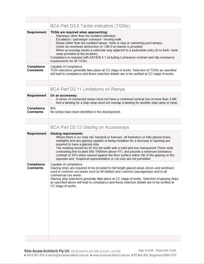
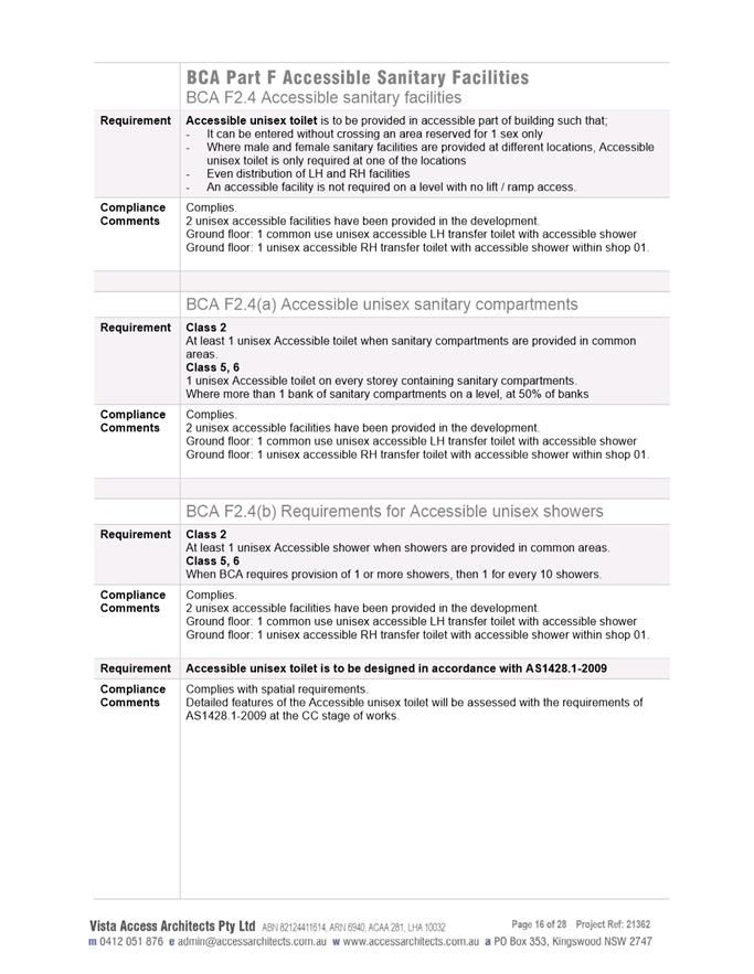
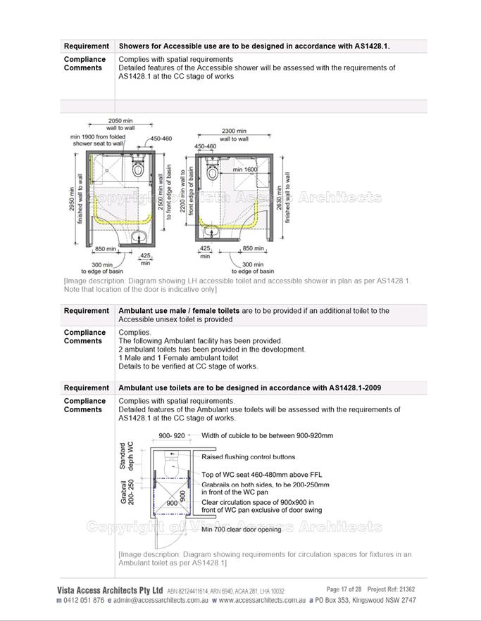
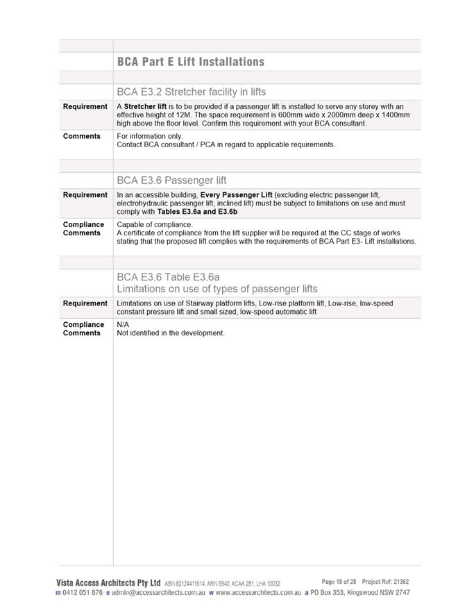
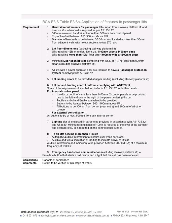
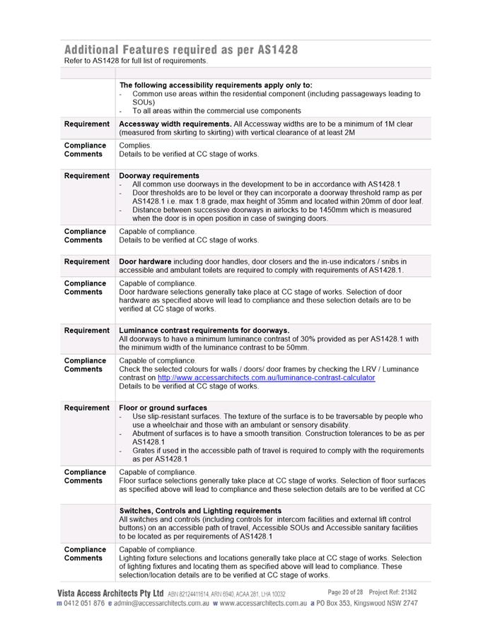
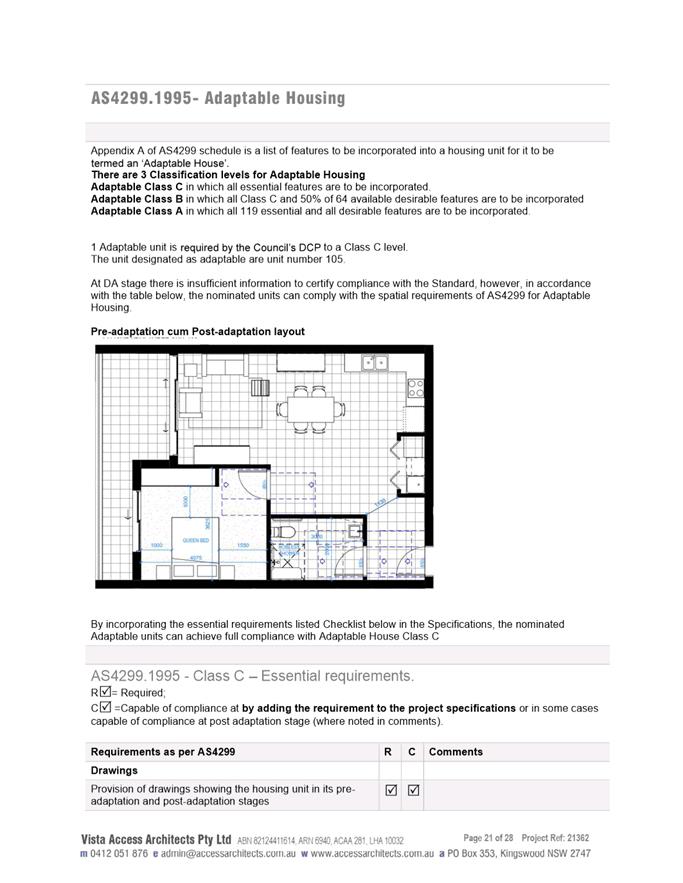
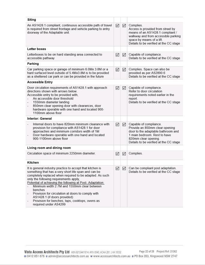
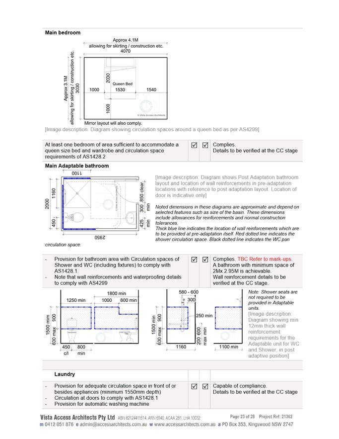
Accessibility Report used during assessment
|
|
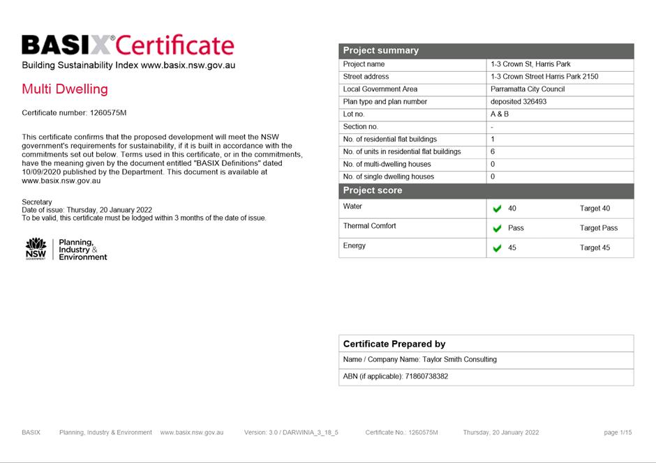
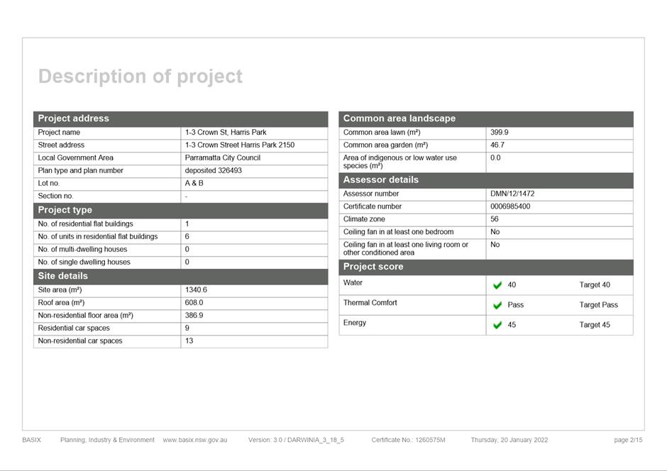
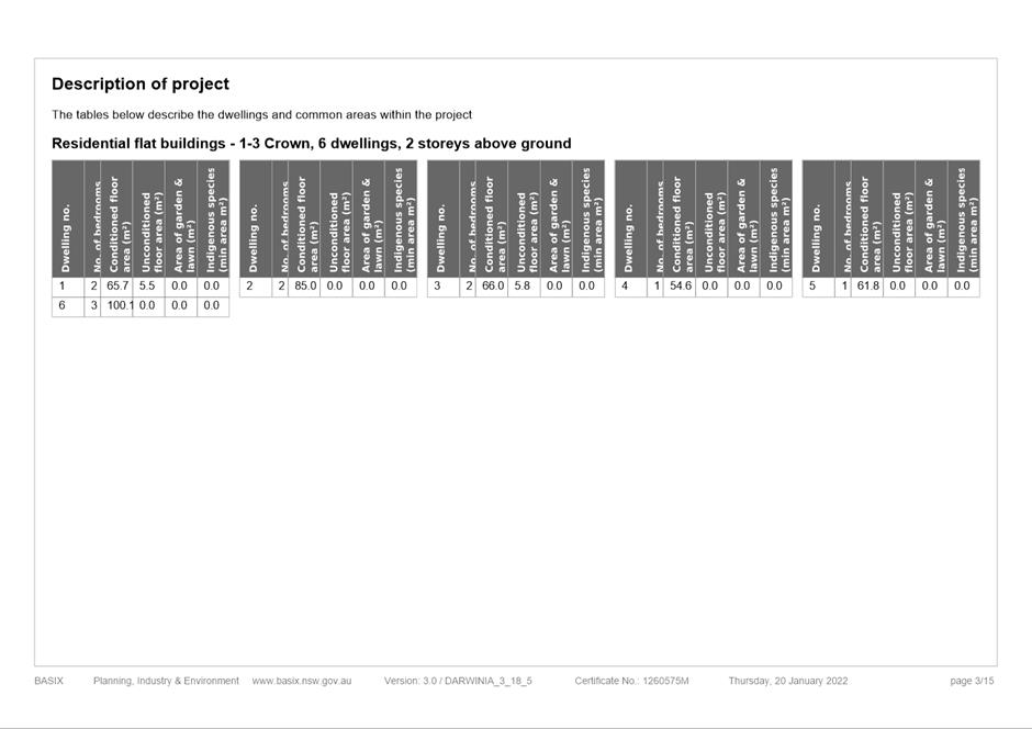
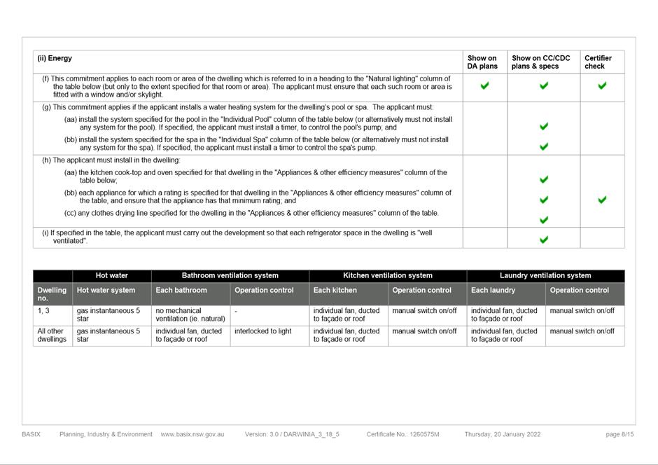
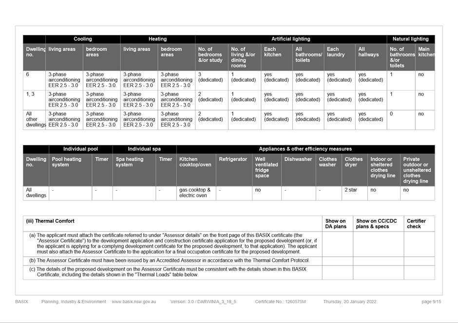
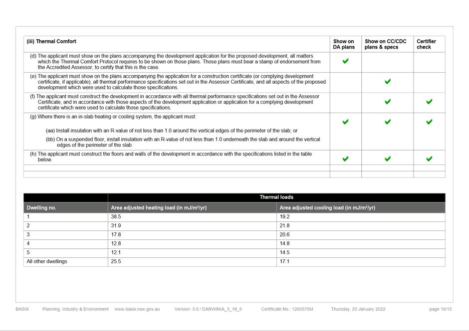
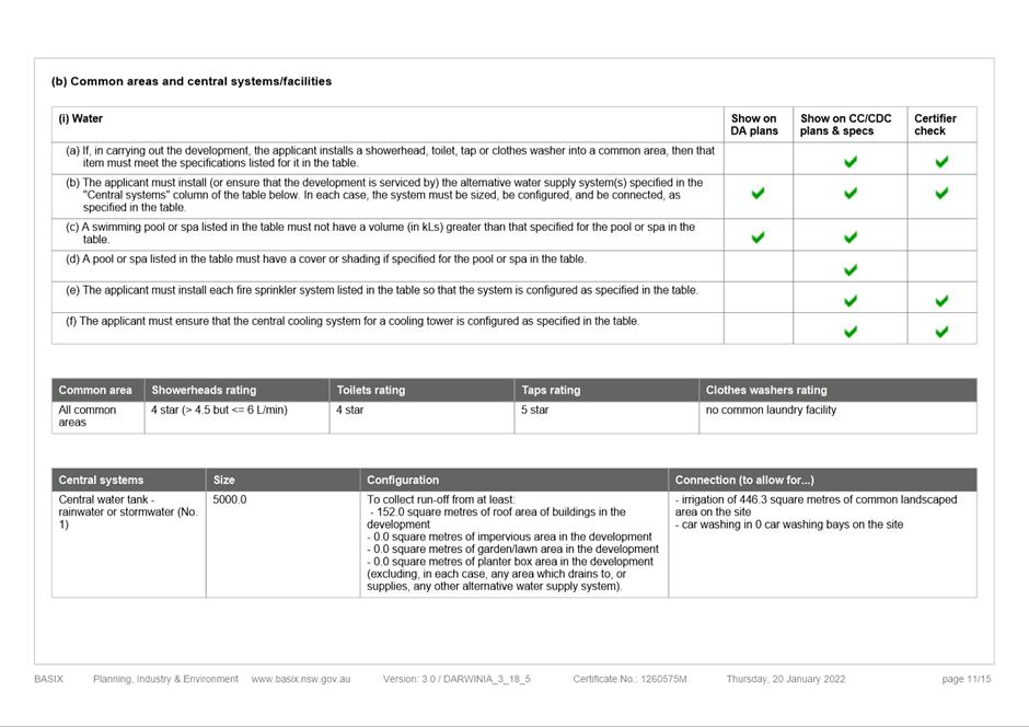
Item 5.1 - Attachment 18
|
BASIX Certificate used during assessment
|
|
Item 5.1 - Attachment 19
|
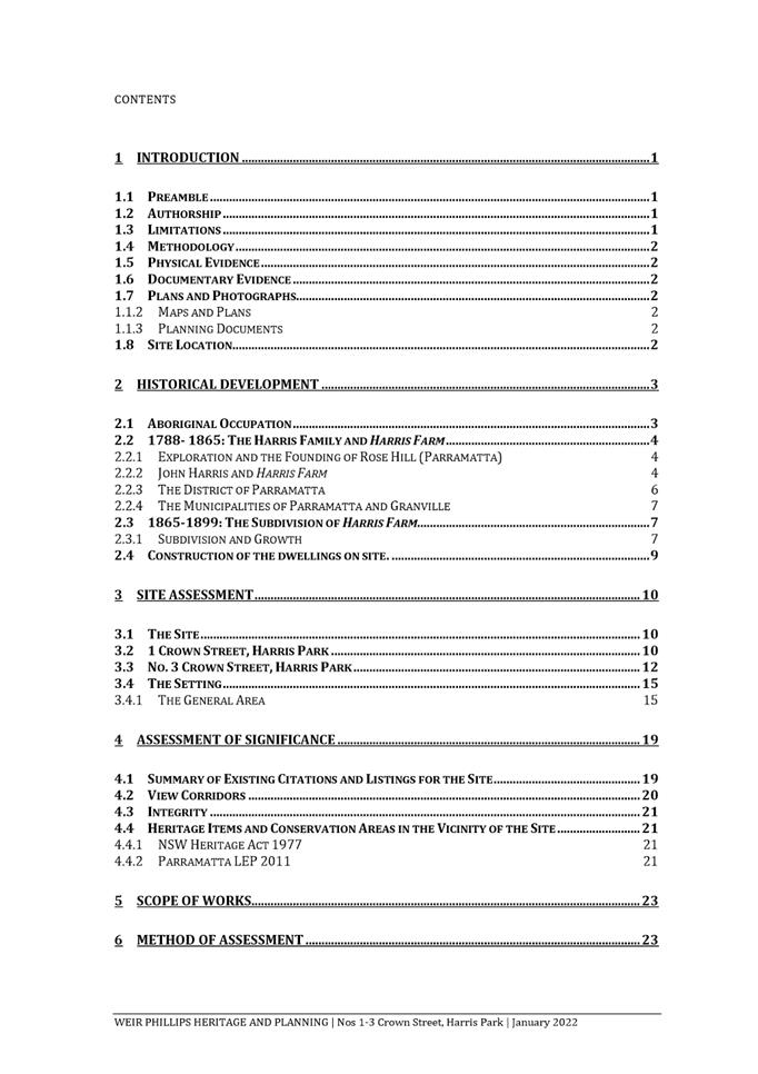
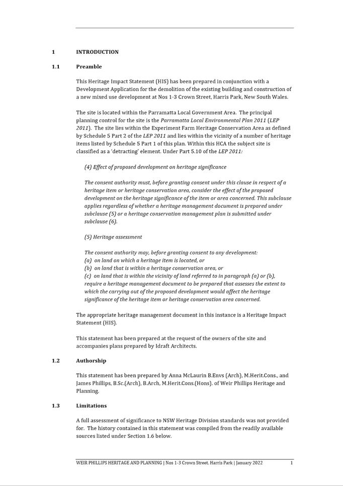
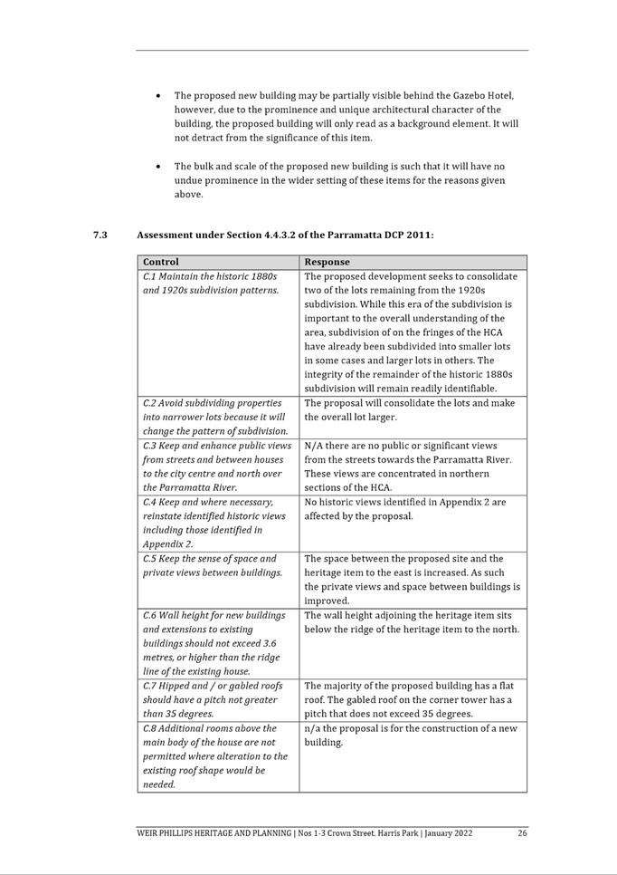
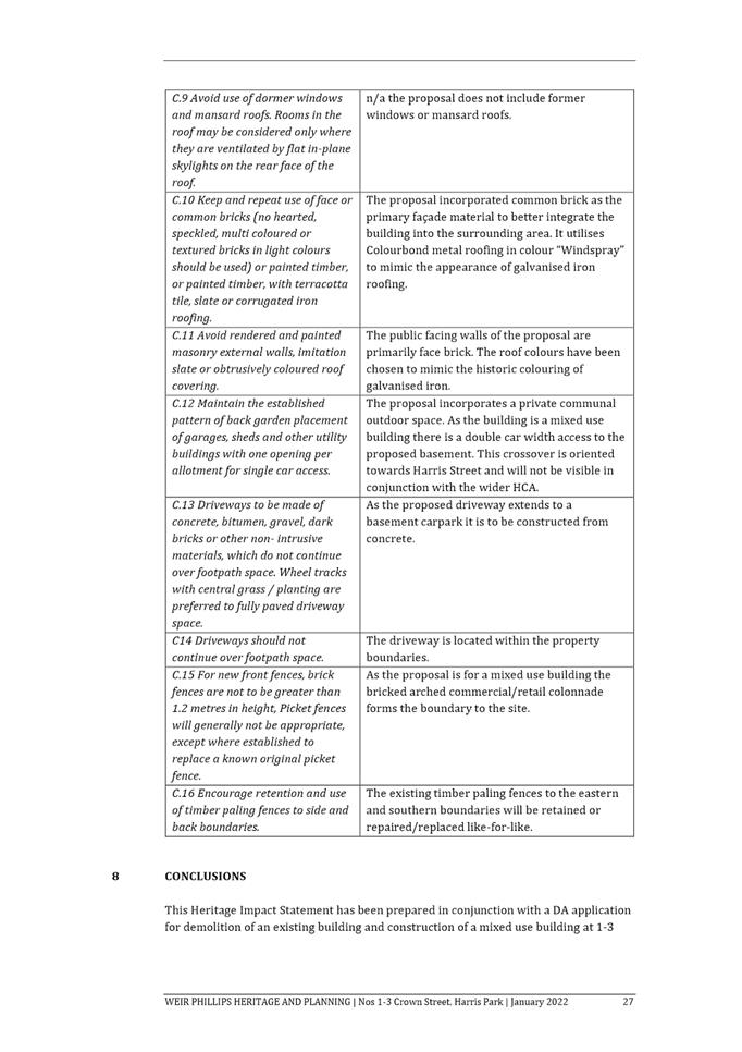
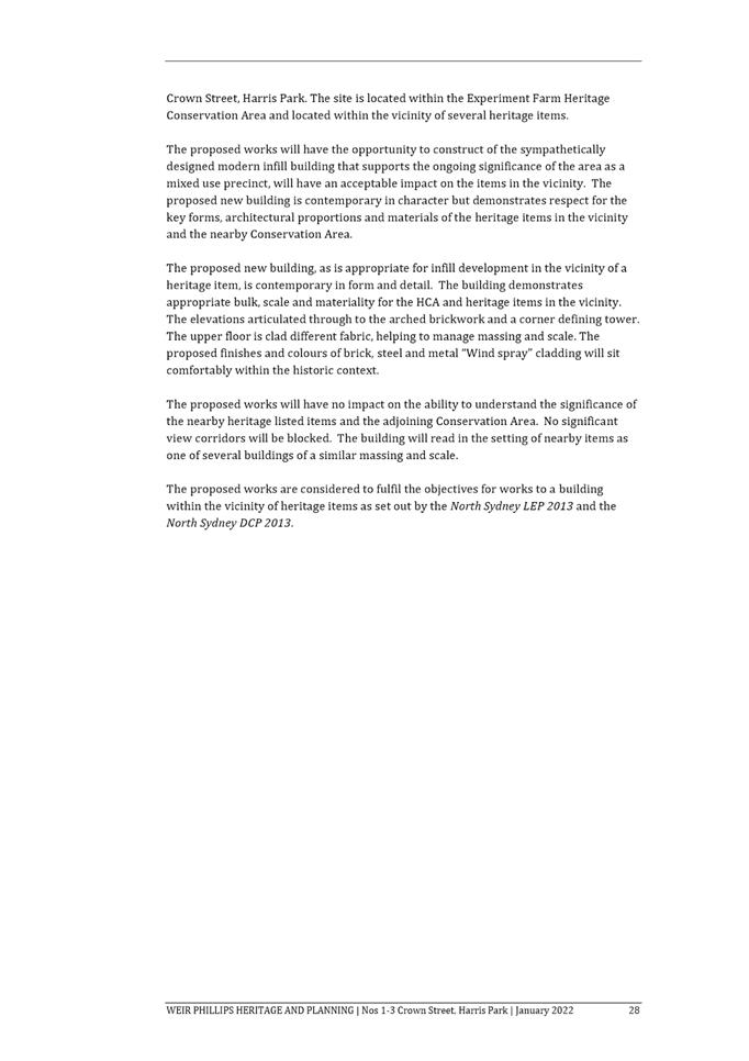
Heritage Impact Assessment used during assessment
|
|
Item 5.1 - Attachment 20
|
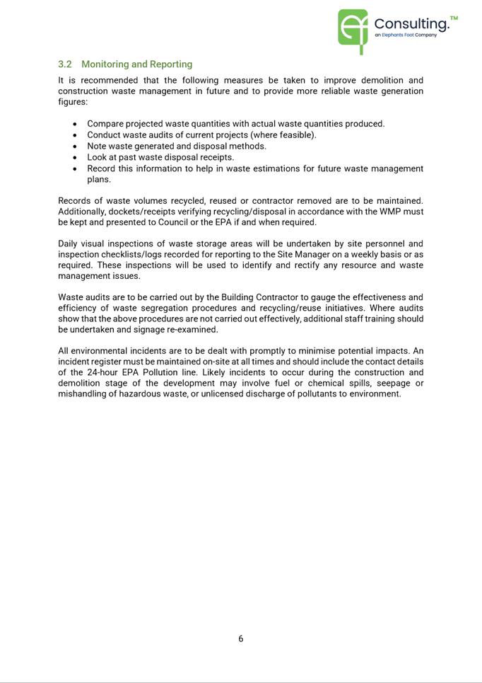
Waste Management Plan used during assessment
|
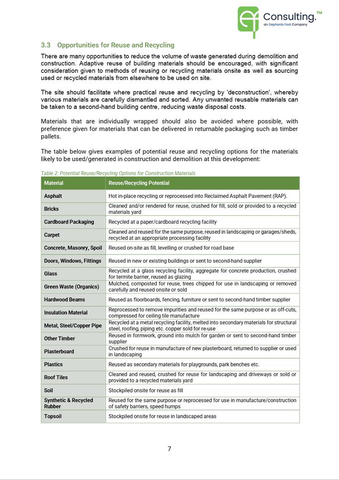
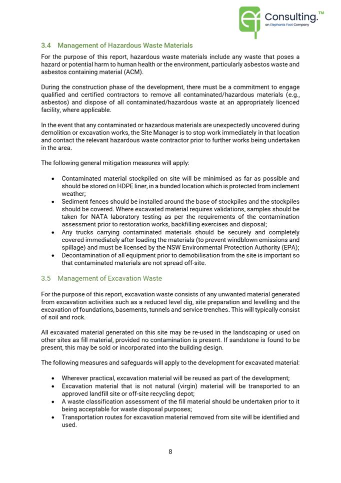
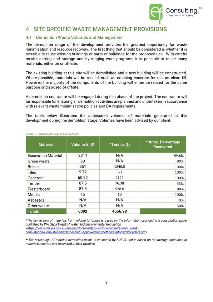
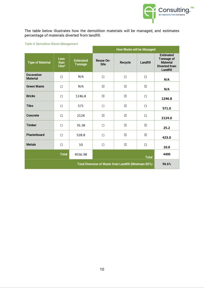
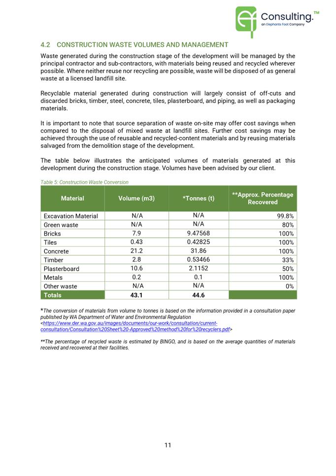
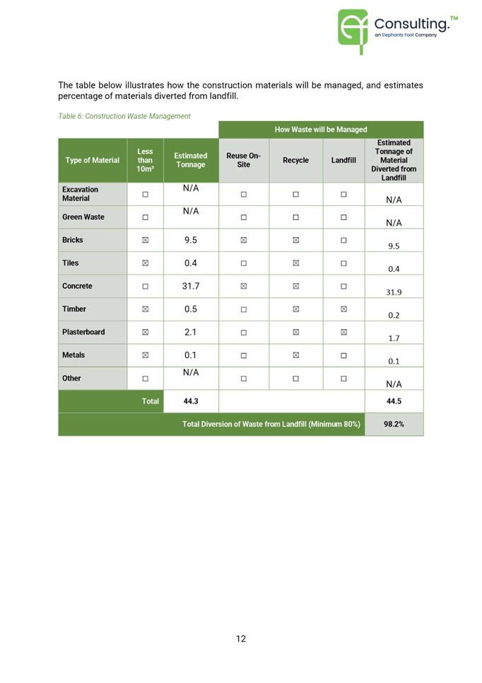
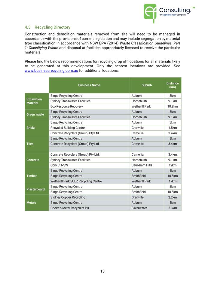
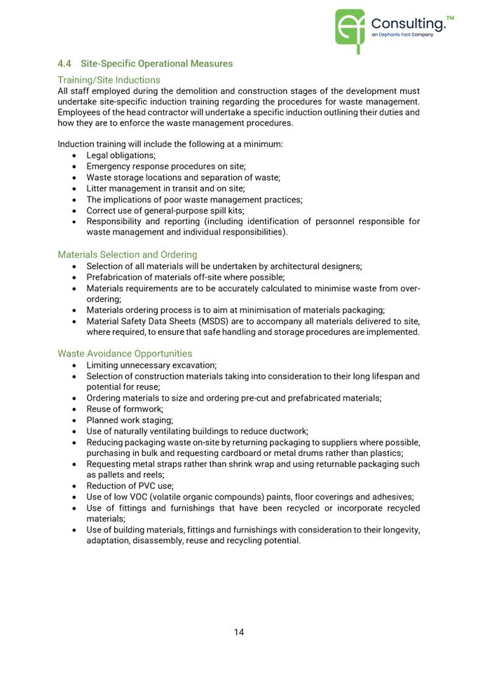
|
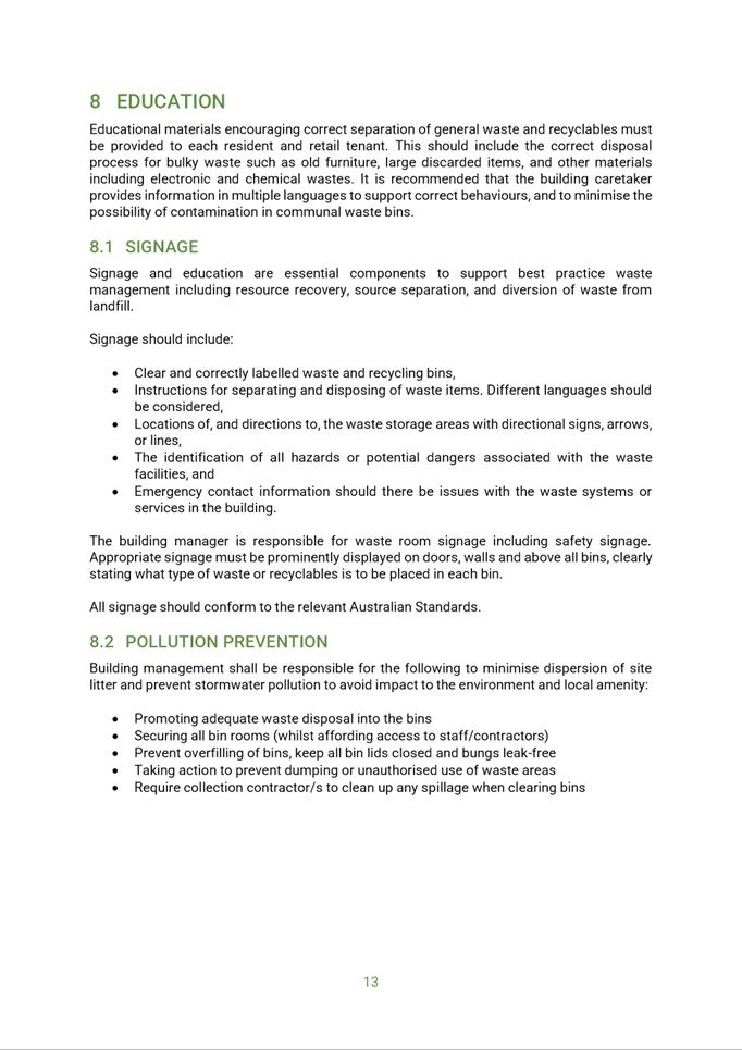
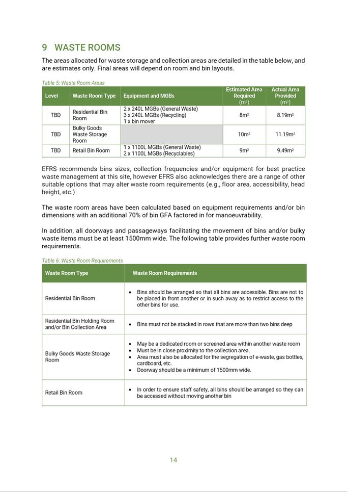
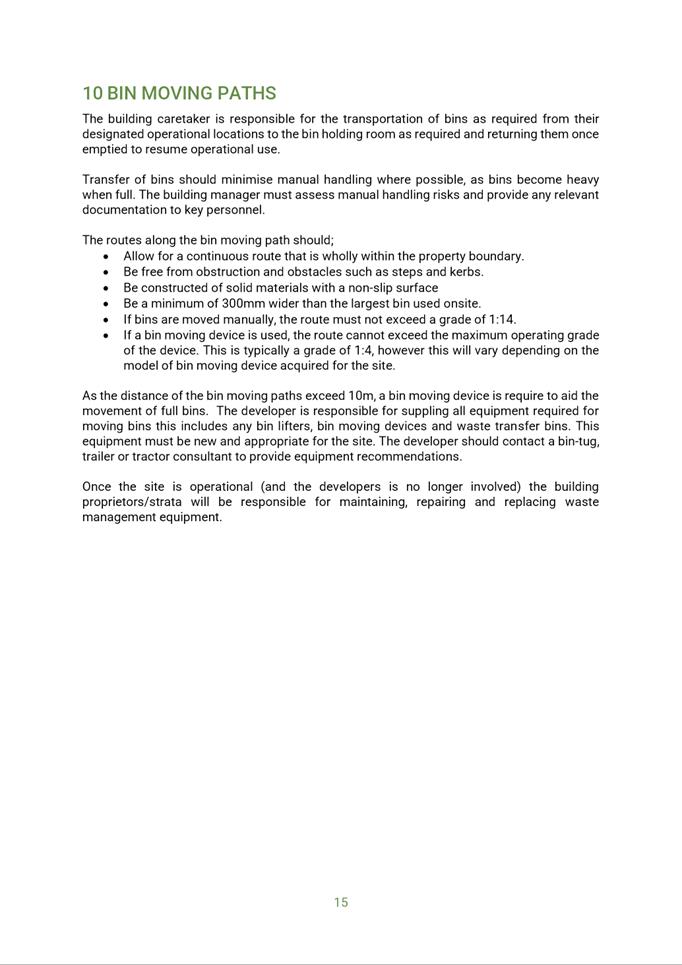
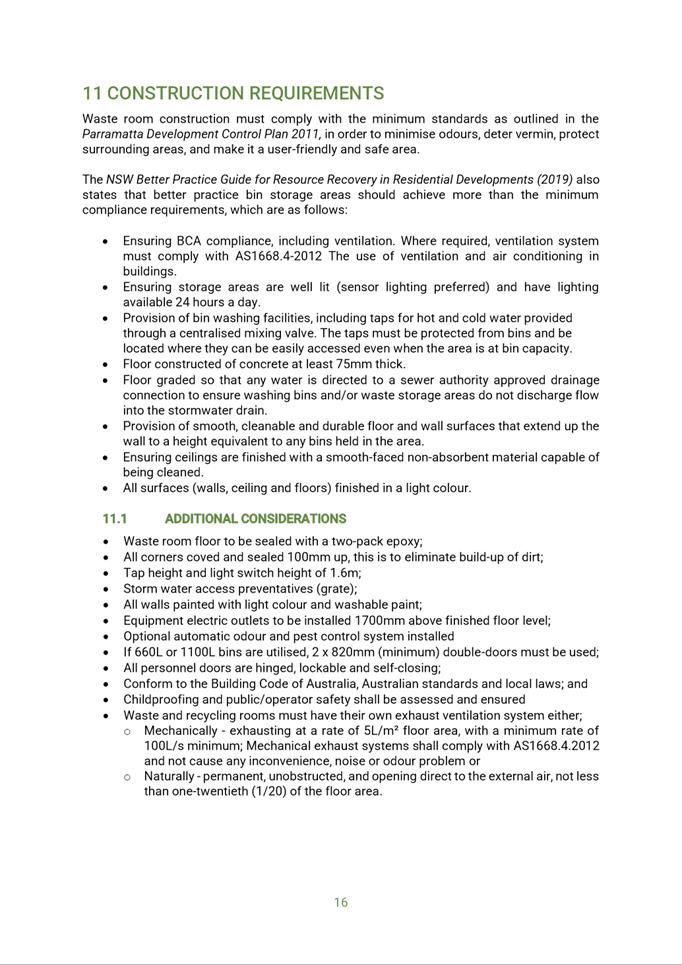
Item 5.1 - Attachment 21
|
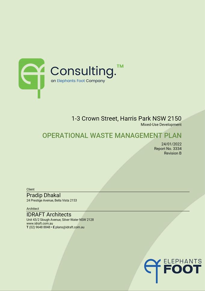
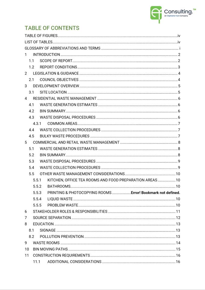
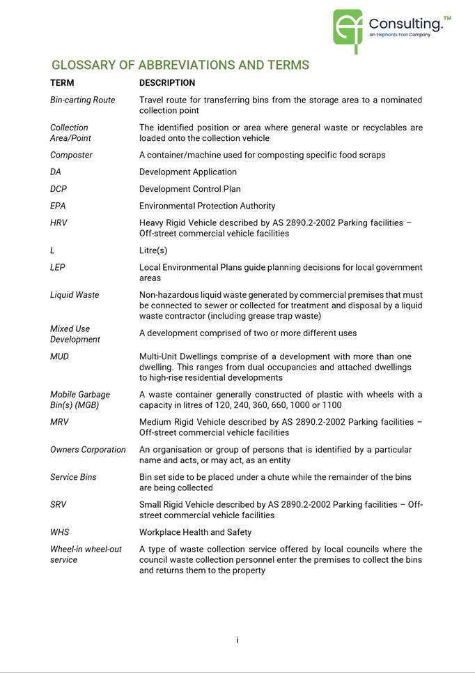
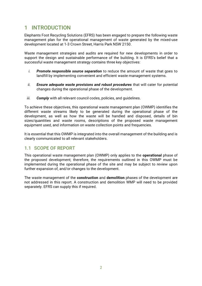
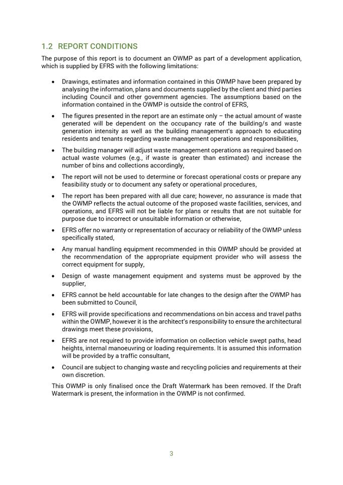
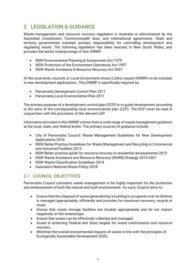
Operational Waste Management Plan used during
assessment
|
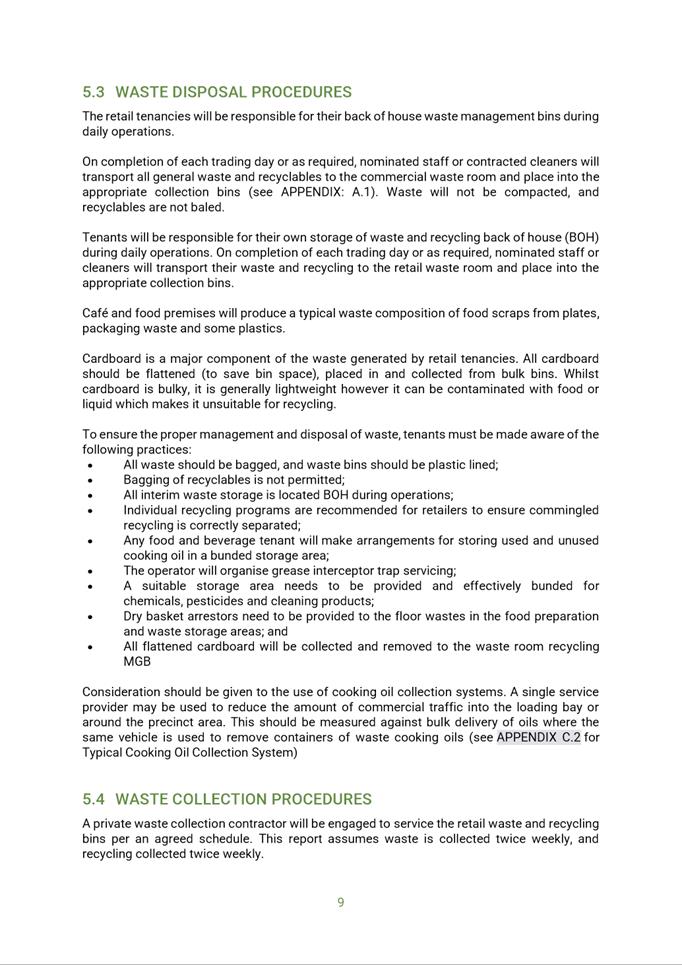
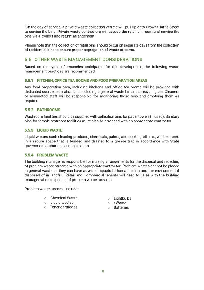
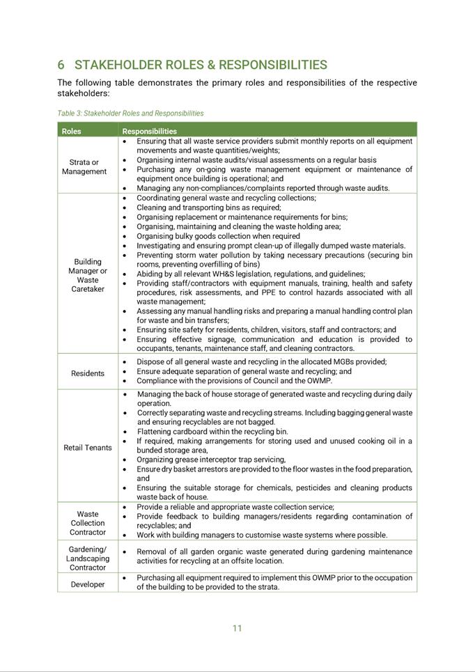
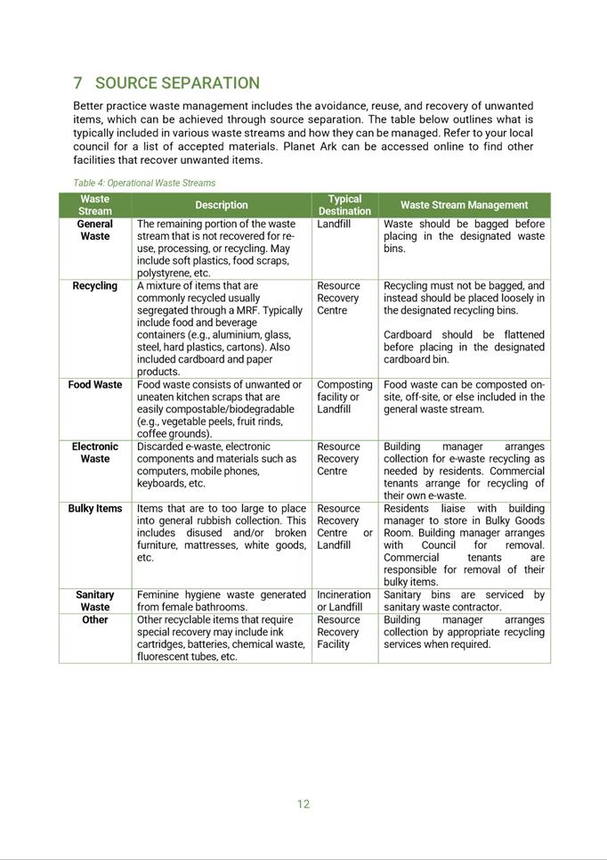
|
Item 5.1 - Attachment 22
|
Material Schedule used during assessment
|
Local Planning Panel 20 September 2022 Item
5.2
ITEM NUMBER 5.2
SUBJECT OUTSIDE PUBLIC MEETING:
22 Langston Place, EPPING (CP SP 103041, LOT 5 DP1272951 and LOT 5 DP249822)
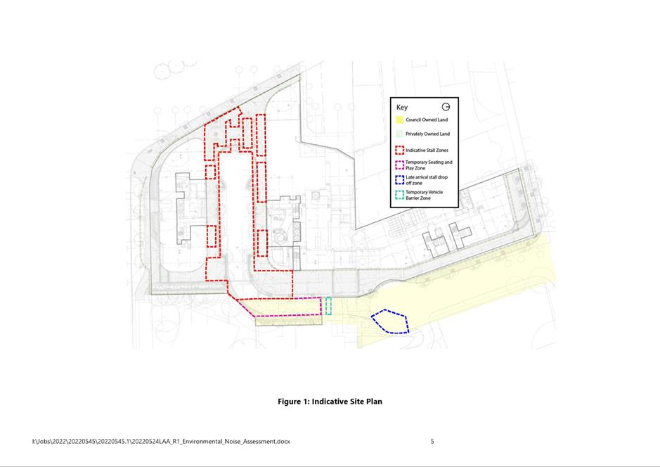
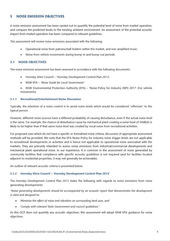
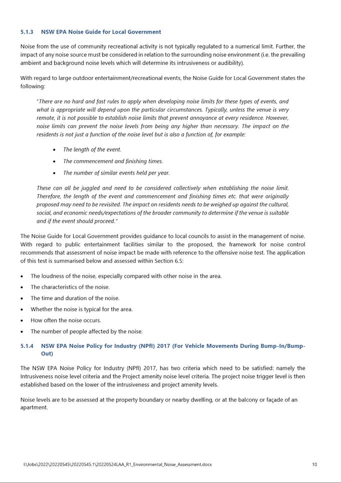
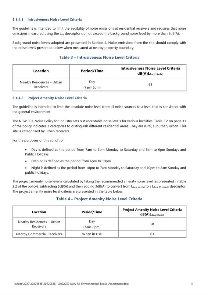
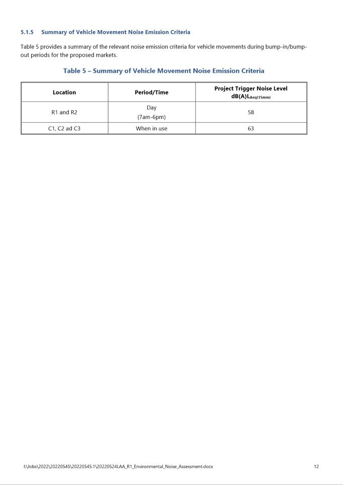
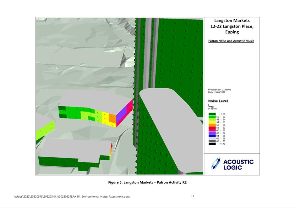
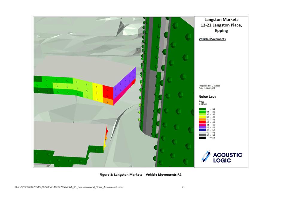
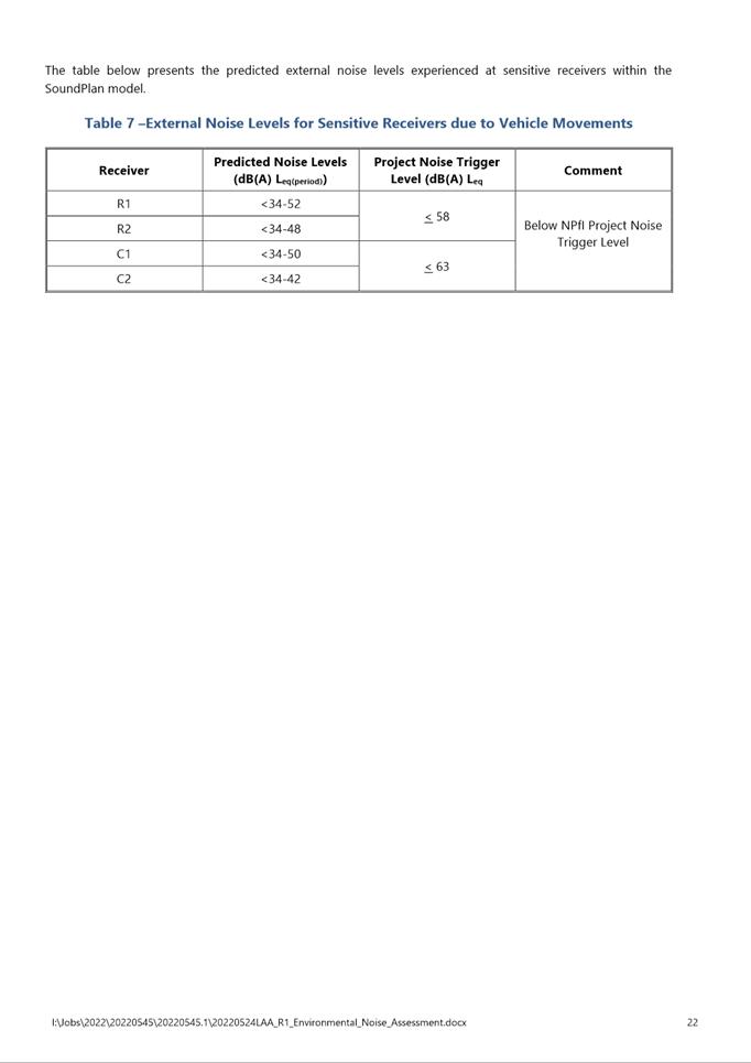
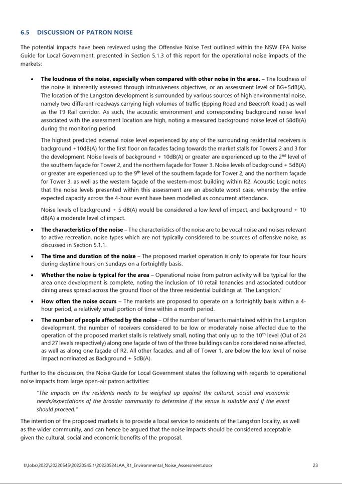
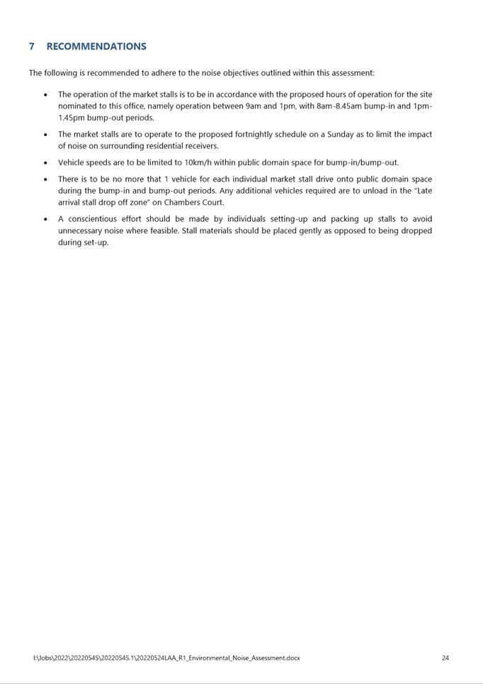
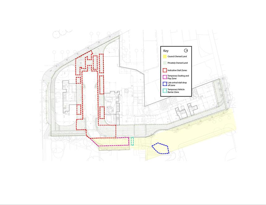
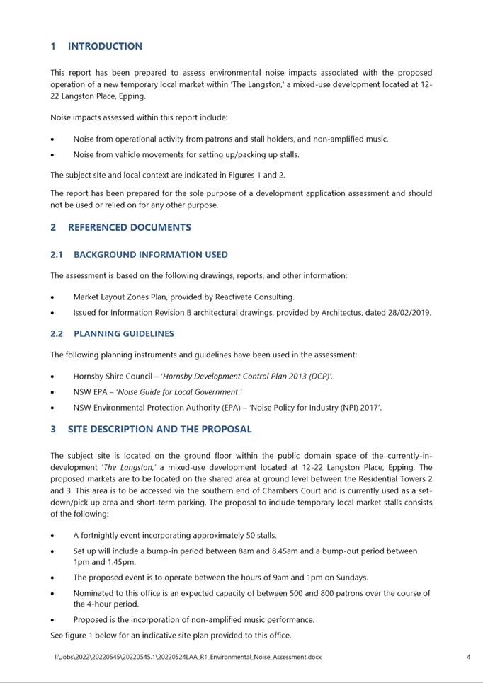
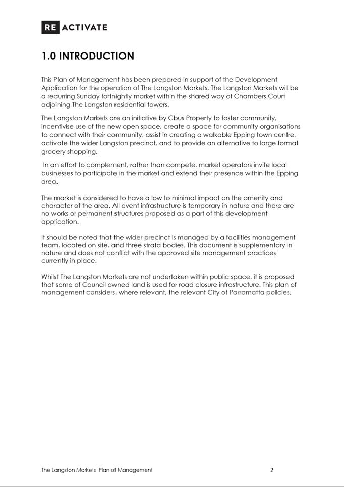
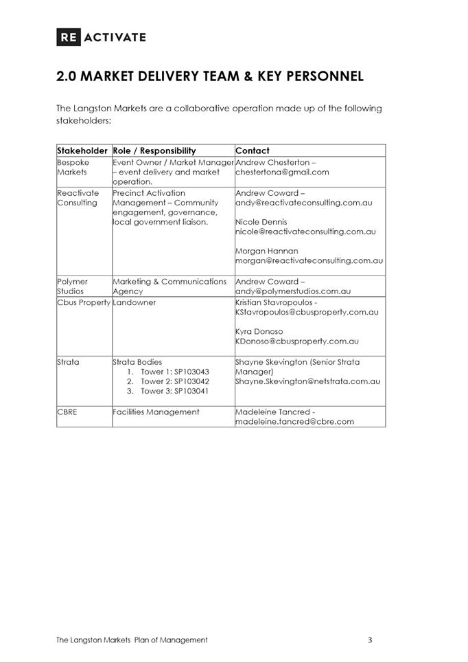
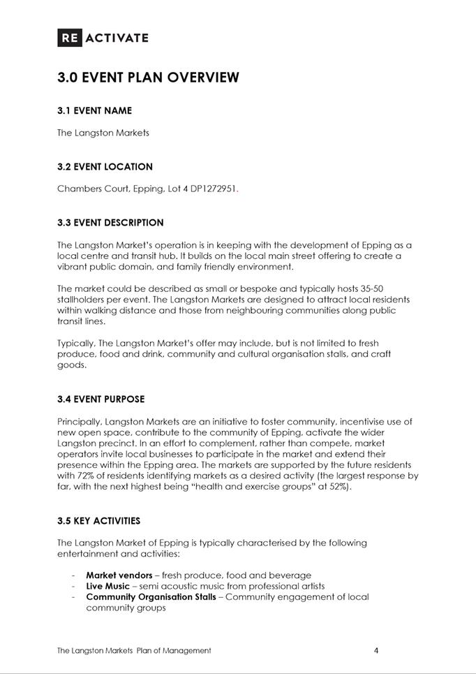
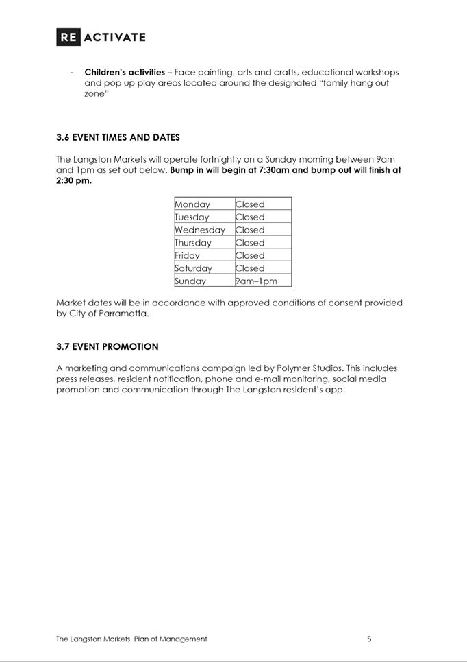
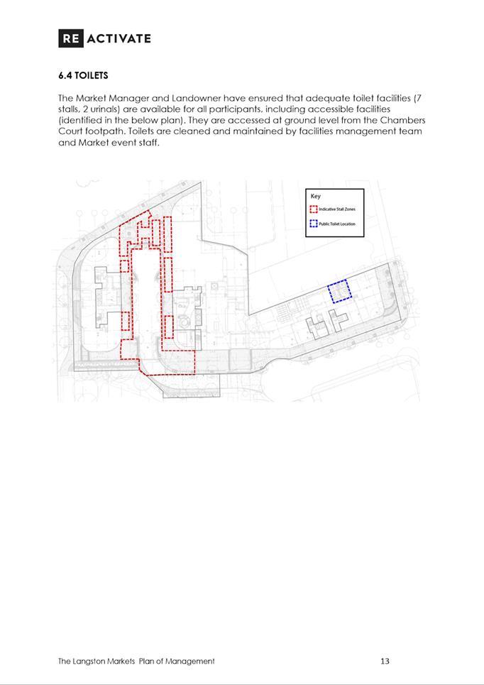
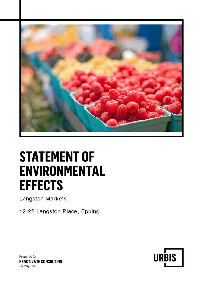
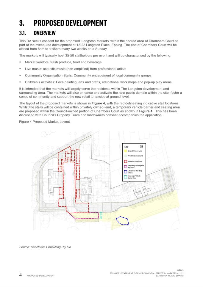
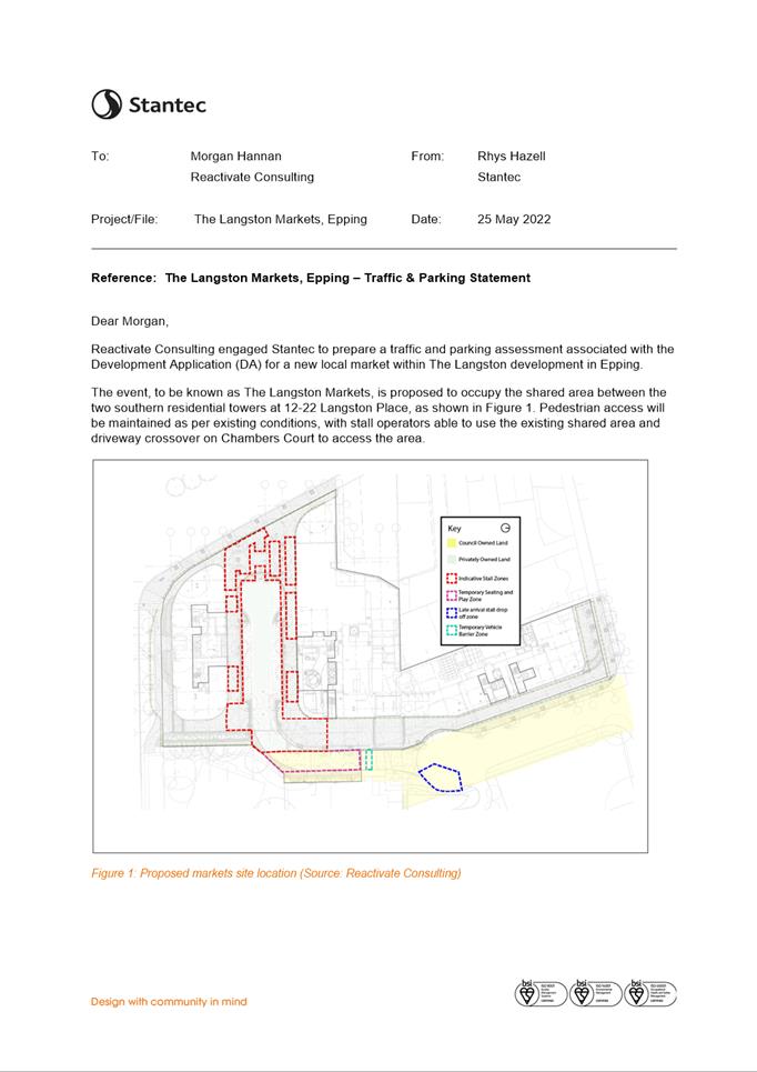
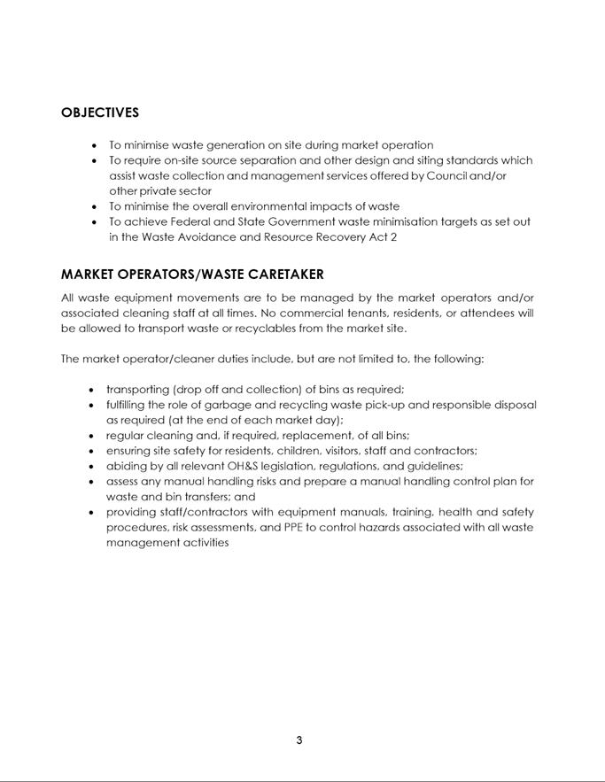
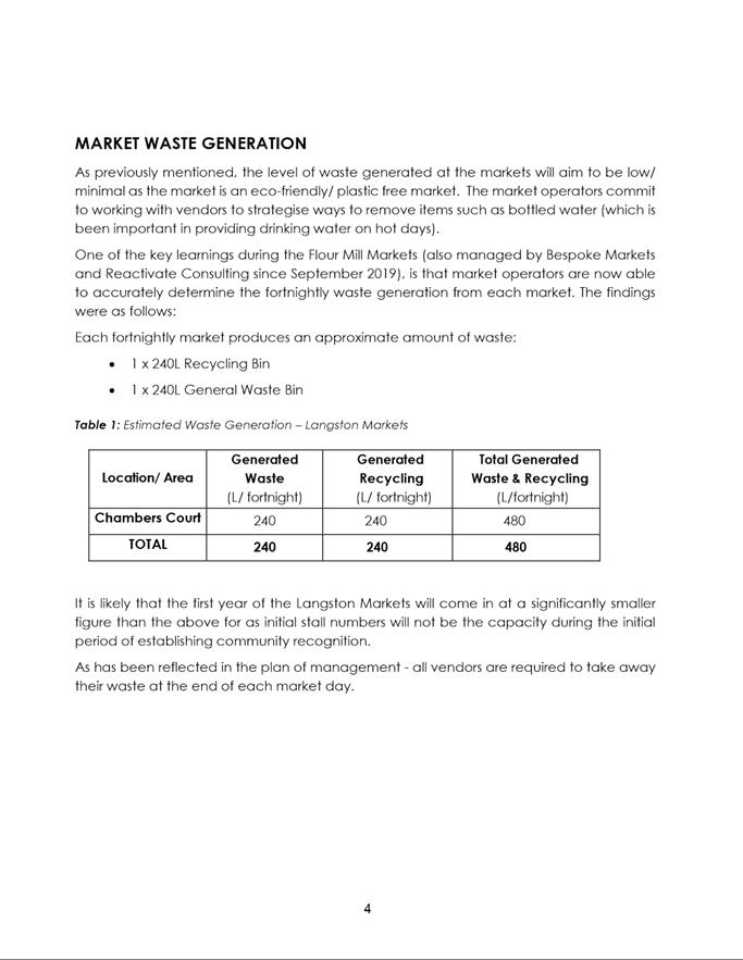
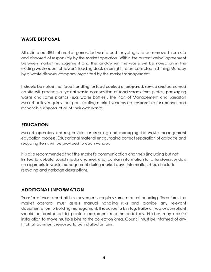
DESCRIPTION Temporary open markets between mixed use residential towers within
the pedestrian and vehicle shared area to provide mini markets up to 50 stalls,
live music, community organisation stalls to operate on Sundays fortnightly
from 9.00am to 1.00pm.
REFERENCE DA/430/2022 - D08642076
APPLICANT/S REACTIVATE CONSULTING PTY LTD
OWNERS Owners of SP 103041 and City of Parramatta Council
REPORT OF Group
Manager Development and Traffic Services
RECOMMENDED Approval
DATE OF REPORT 5 August 2022
REASON
FOR REFERRAL TO LPP
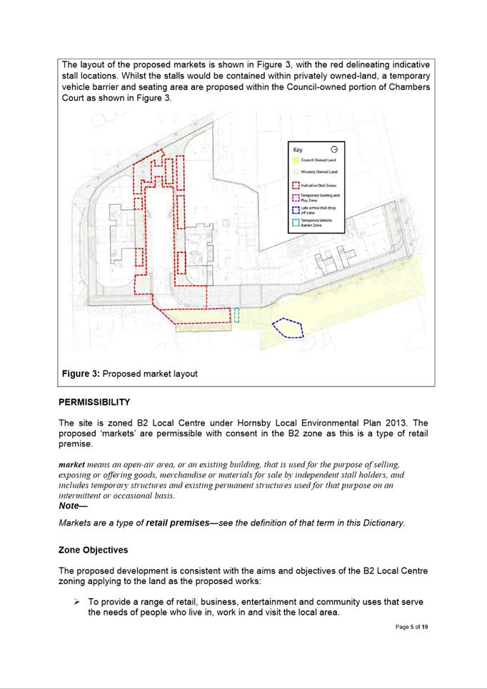
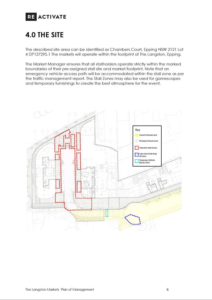
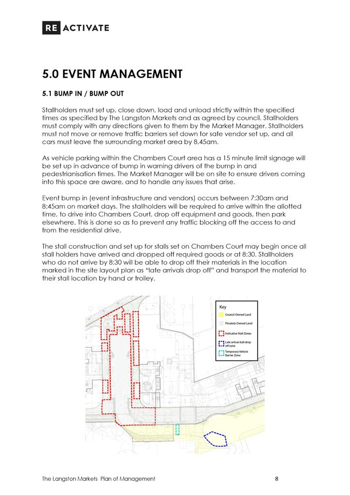
The proposed markets would be partially
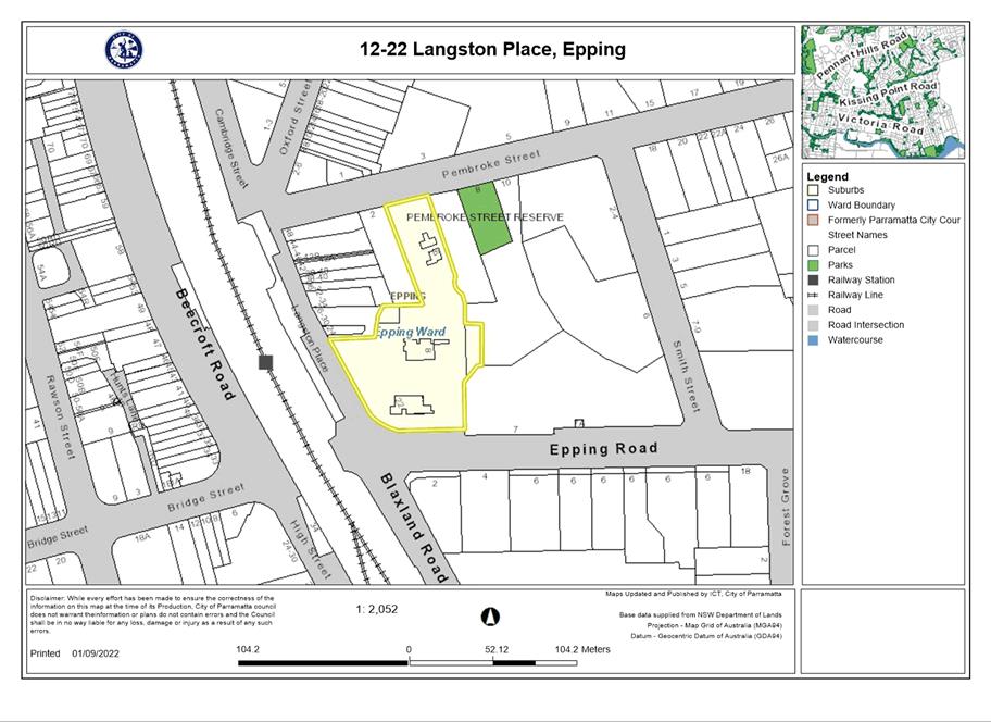
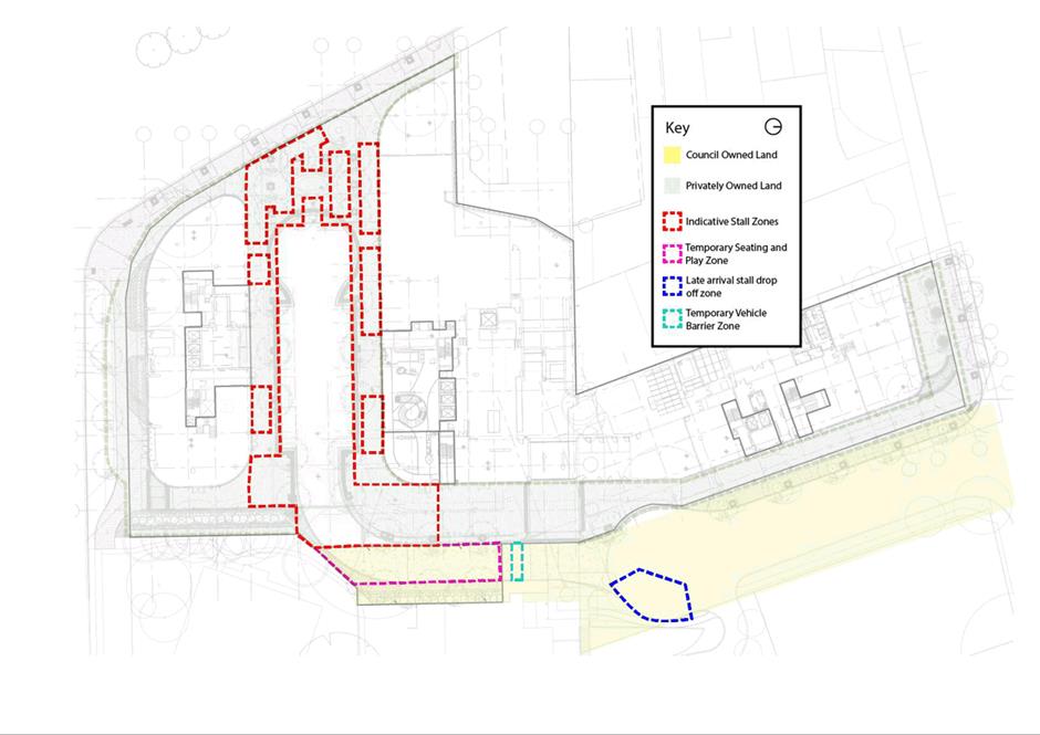
situated on land which is owned by City of Parramatta Council, specifically Lot 5 DP1272951 and Lot 5 DP249822. The use of land would be
ancillary to the market use, and would involve temporary seating, a temporary
vehicle barrier zone, and a stall drop off zone.
EXECUTIVE SUMMARY
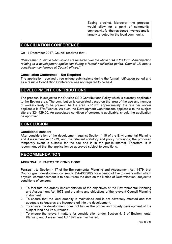
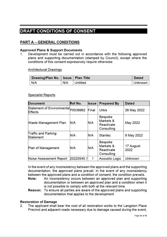
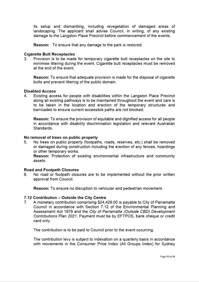
This is a summary of the full assessment of
the application as outlined in Attachment 1, the Section 4.15 Assessment
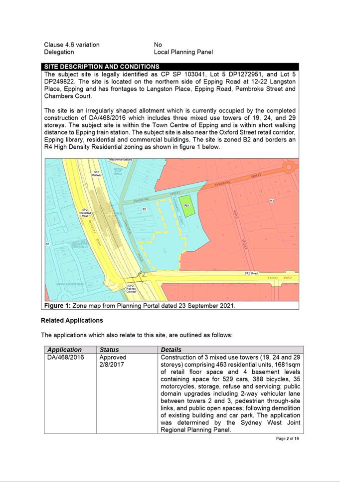
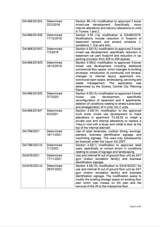
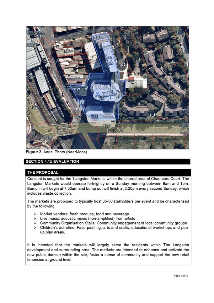
Report. The application seeks the consent for ‘Langston Markets’
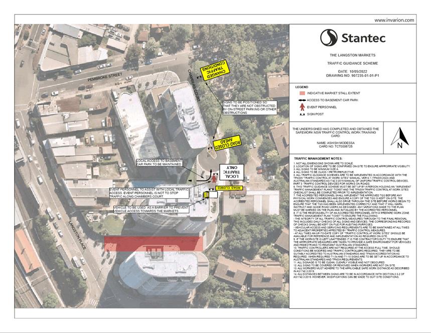
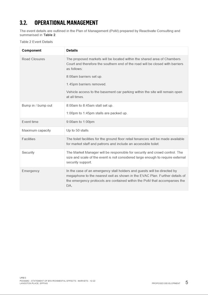
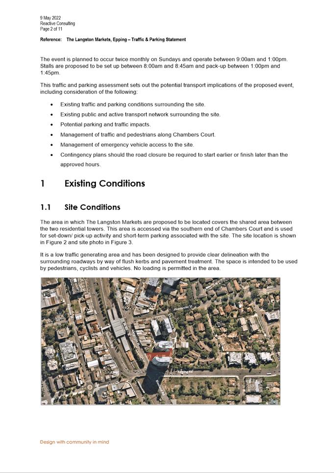
within the shared Chambers Court area. The end of Chambers Court would be closed
from 7.30am to 2.30pm every second Sunday.
The markets are proposed to typically host 35-50
stallholders per event and be characterised by the following:
·
Market vendors: fresh produce,
food and beverage;
·
Live music: acoustic music
(non-amplified) from artists;
·
Community Organisation Stalls:
Community engagement of local community groups; and
·
Children’s activities: Face
painting, arts and crafts, educational workshops and pop-up play areas.
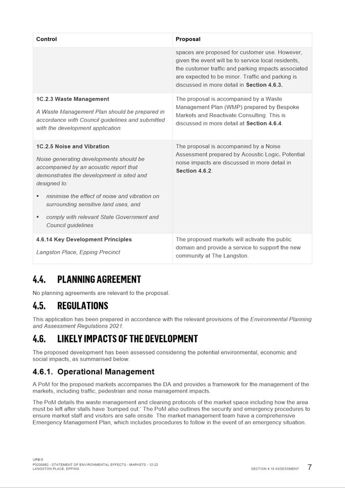
The report considers the relevant
Environmental Planning Instruments and assess the development against all
applicable provisions. The report notes all relevant referrals, with no
referral bodies objecting to the proposal, subject to the recommended
conditions of consent. Three submissions were received with the proposal
predominately around traffic generation and external visitors to Epping. The
assessment concludes with a recommendation for approval for the proposal.
RECOMMENDATION
(a) That the Parramatta Local Planning Panel, exercising the
functions of Council, pursuant to section 4.17 of the Environmental Planning
and Assessment Act 1979, grant development consent to DA/430/2022 for a
period of five (5) years within which physical commencement is to occur from
the date on the Notice of Determination, subject to the conditions of consent
in Attachment 1.
(b)
Further, that submitters be advised of the decision.
REASONS FOR APPROVAL
The DA should be approved for the following reasons:
1.
The development is
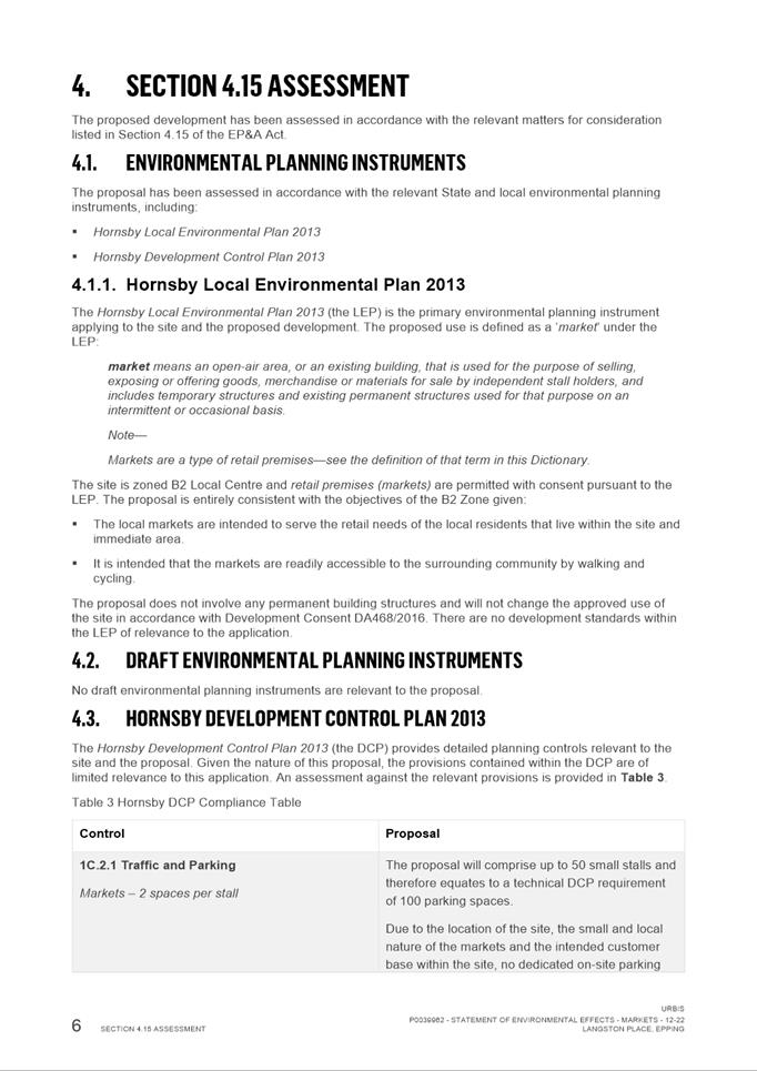
permissible in the B2 Local Centre Use Zone and generally satisfies the
requirements of the applicable planning provisions.
2.
To ensure that the local
amenity is maintained and is not adversely affected and that adequate
safeguards are incorporated into the development.
3.
The development will be
compatible with the emerging and planned future character of the area.
4.
For the reasons given above,
approval of the application is in the public interest.
Atef Kazi
Development Assessment Officer
Sarah Irani
Team Leader Development Support
Attachments:
|
1⇩ 
|
Assessment Report and draft conditions
|
19 Pages
|
|
|
2⇩ 
|
Locality Map
|
1 Page
|
|
|
3⇩ 
|
Architectural Plan
|
1 Page
|
|
|
4⇩ 
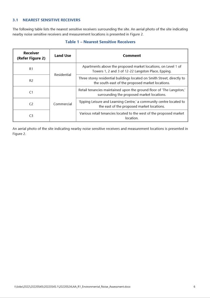
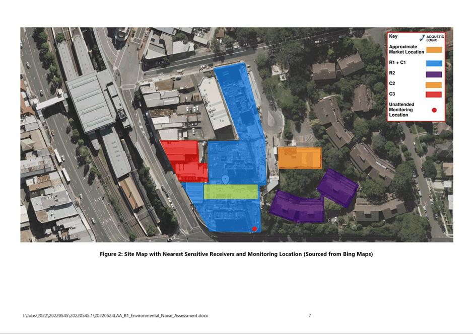
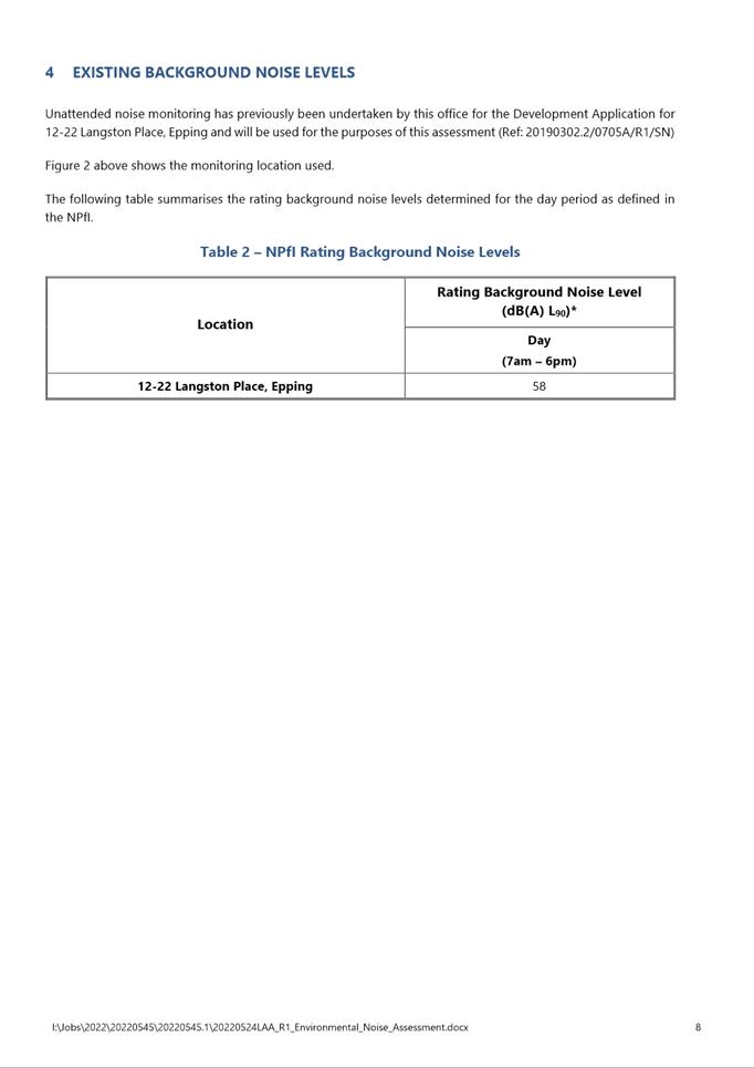
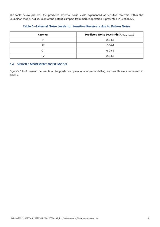
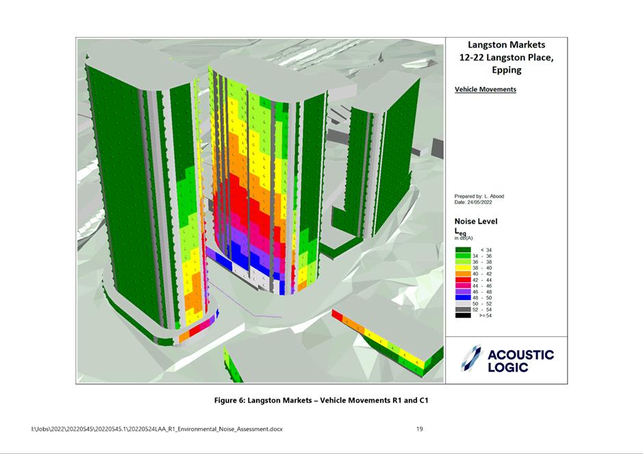
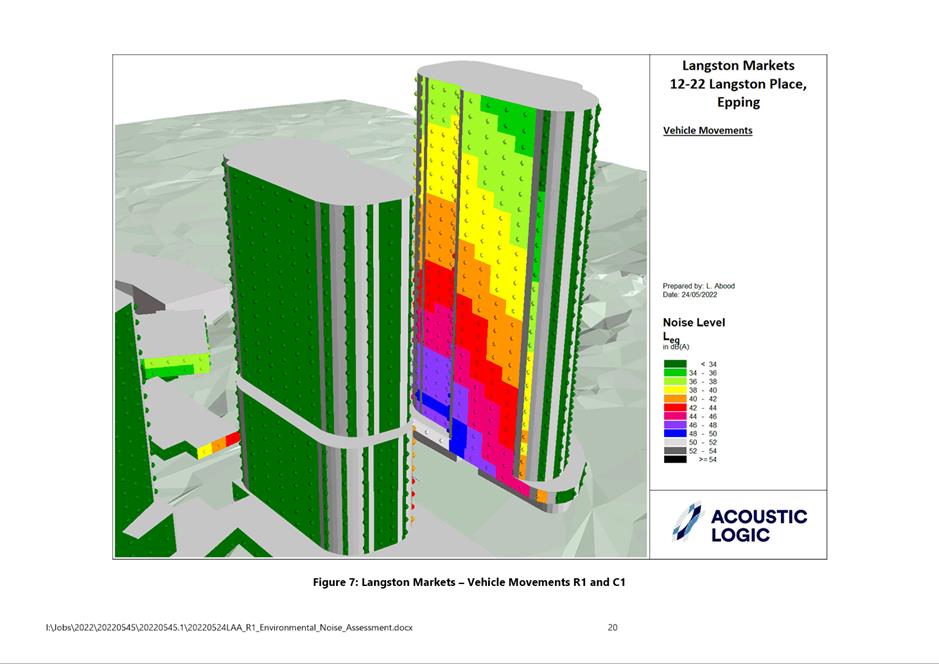
|
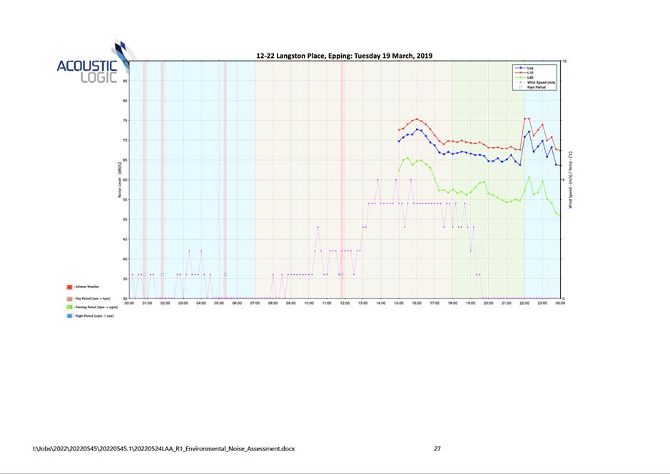
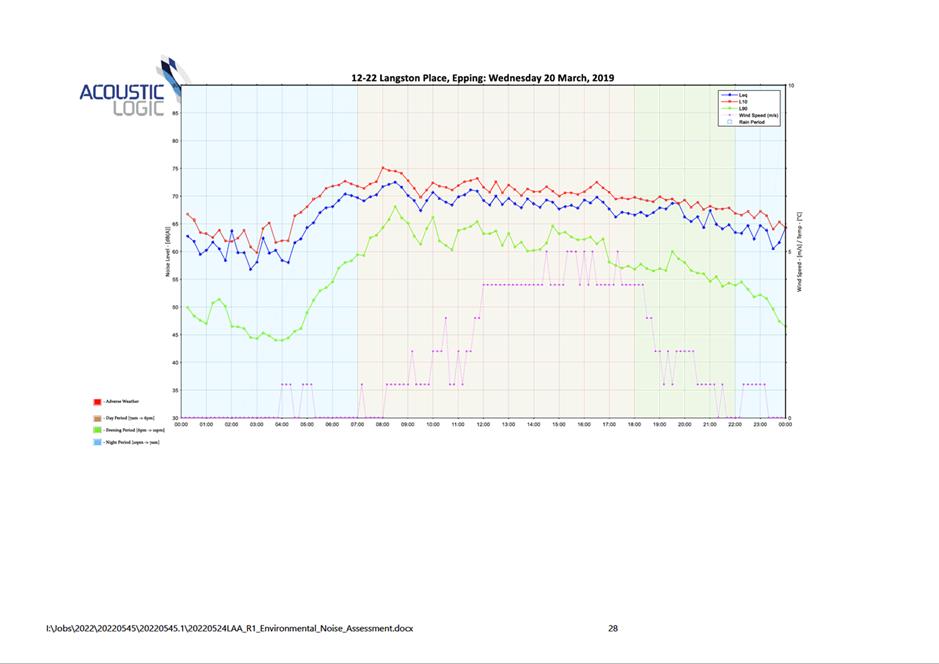
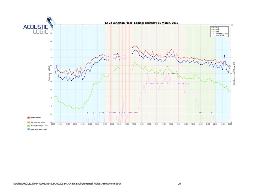
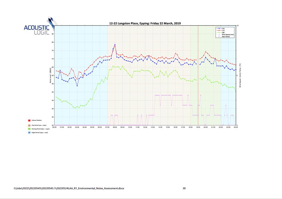
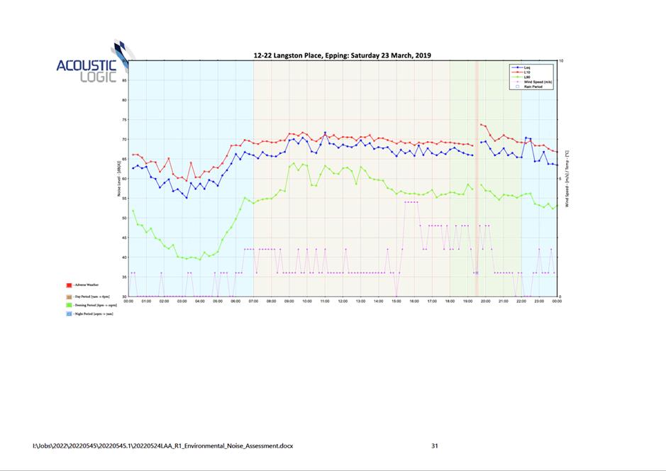
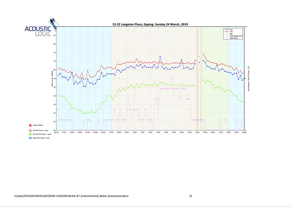
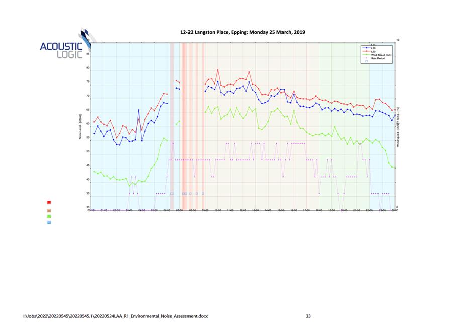
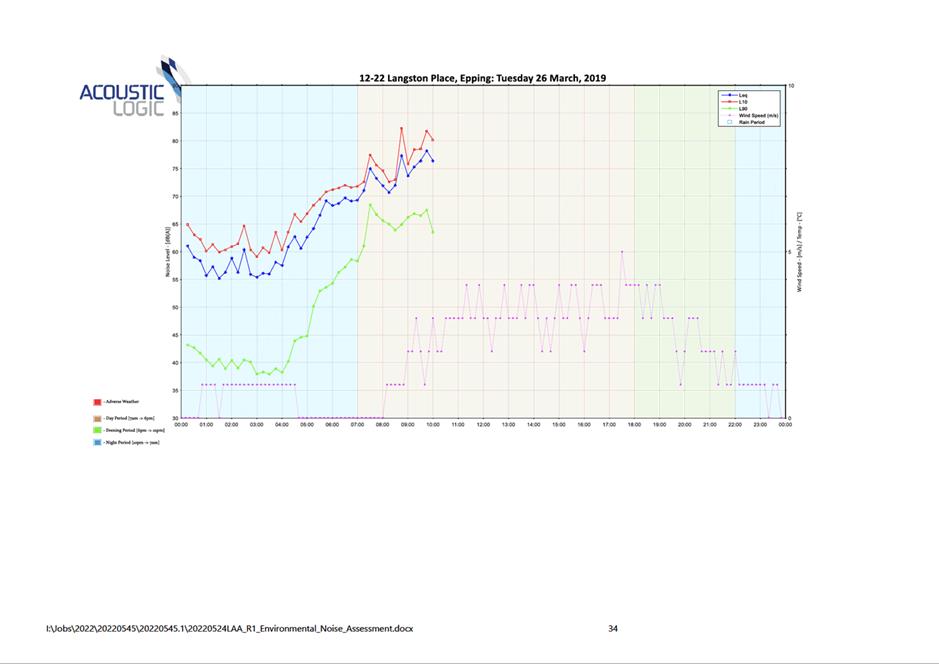
Noise Assessment Report
|
34 Pages
|
|
|
5⇩ 
|
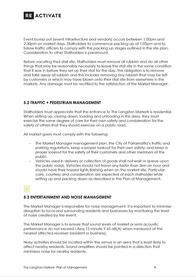
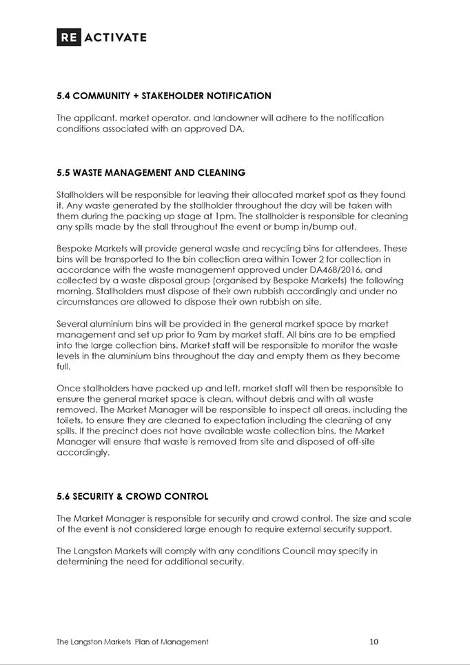
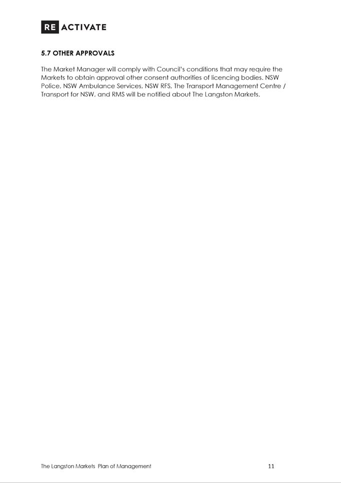
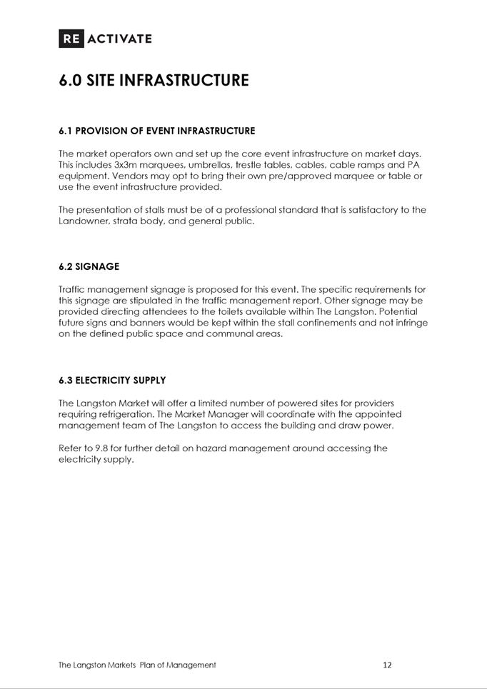
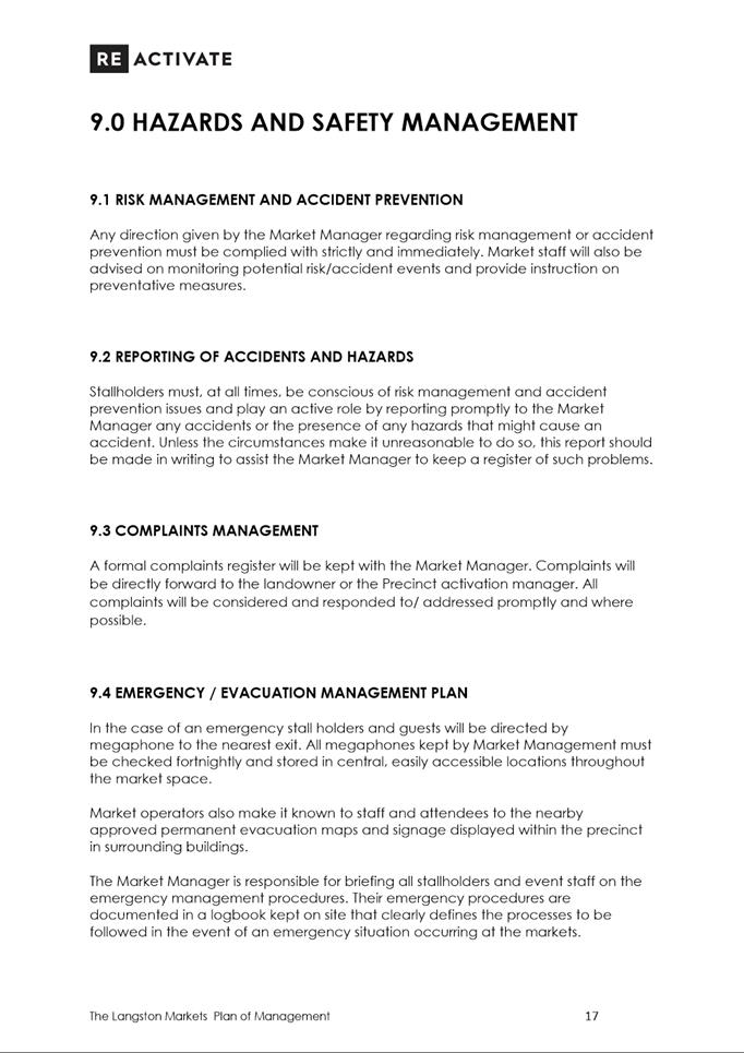
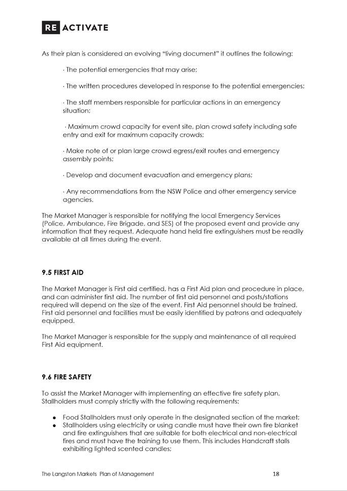
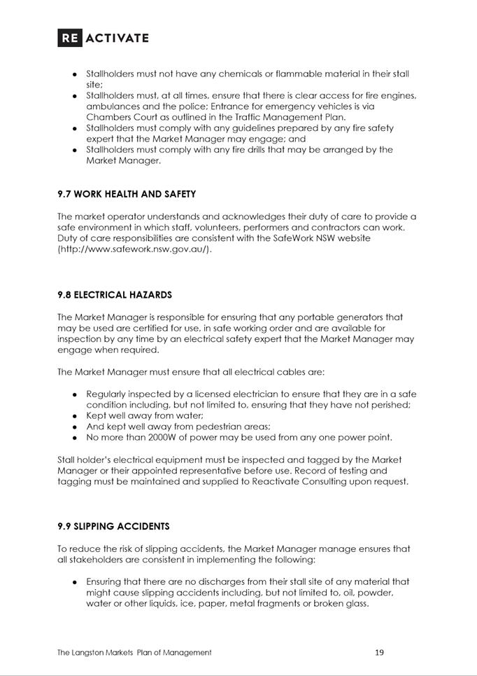
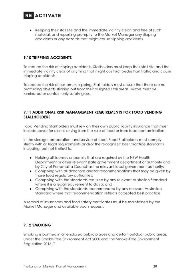
Amended Plan of Management
|
22 Pages
|
|
|
6⇩ 
|
Statement of Environmental Effects
|
14 Pages
|
|
|
7⇩ 
|
Traffic and Parking Statement
|
13 Pages
|
|
|
8⇩ 
|
Waste Management Plan
|
6 Pages
|
|
REFERENCE MATERIAL
|
Item 5.2 - Attachment
1
|
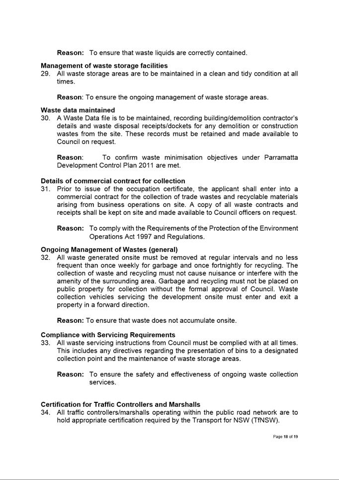
Assessment Report and draft conditions
|
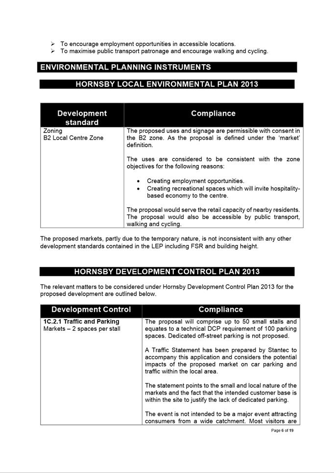
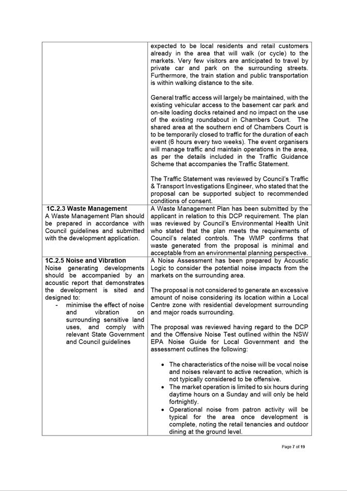
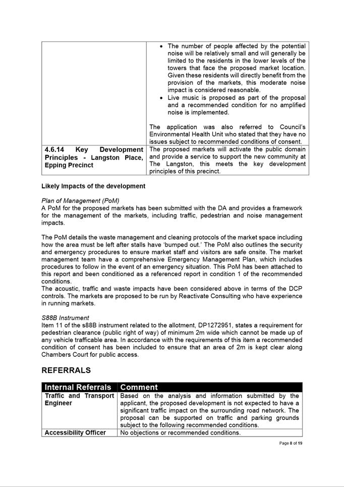
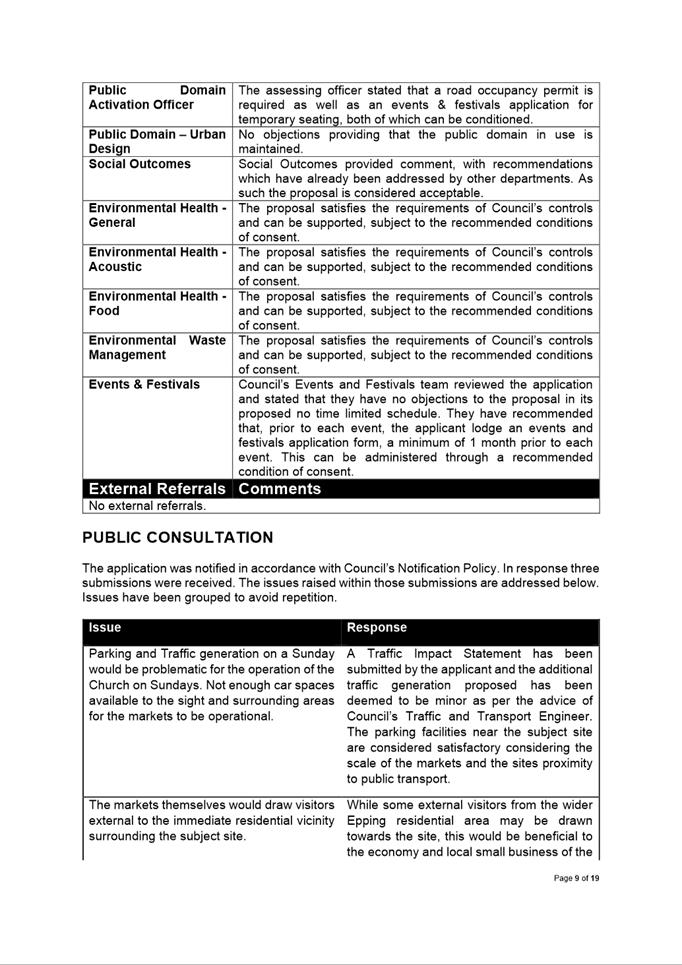
|
Item 5.2 - Attachment 2
|
Locality Map
|
|
Item 5.2 - Attachment
3
|
Architectural Plan
|
|
Item 5.2 - Attachment
4
|
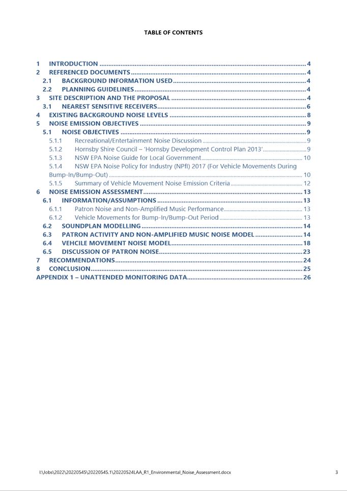
Noise Assessment Report
|
|
Item 5.2 - Attachment 5
|
Amended Plan of Management
|
|
Item 5.2 - Attachment 6
|
Statement of Environmental Effects
|
|
Item 5.2 - Attachment 7
|
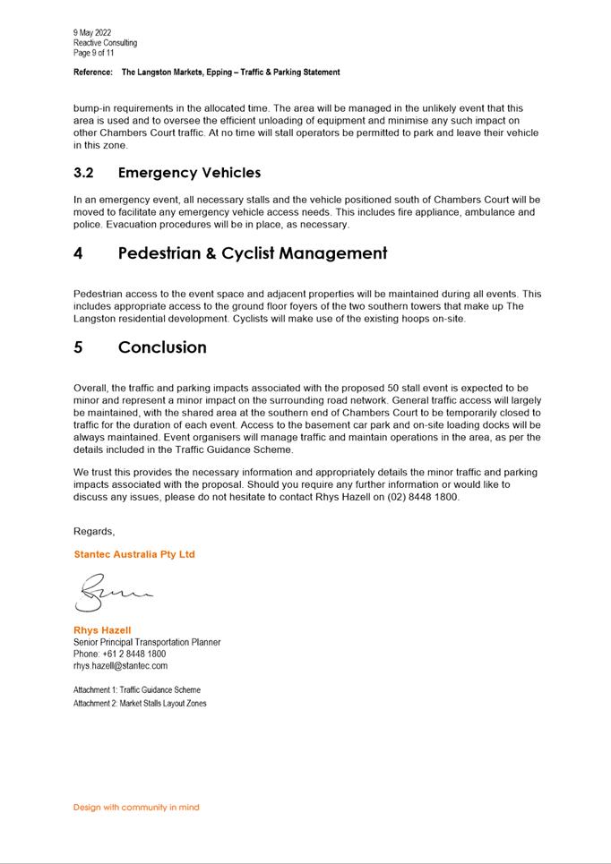
Traffic and Parking Statement
|
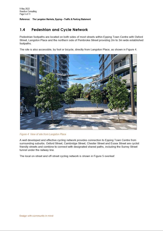
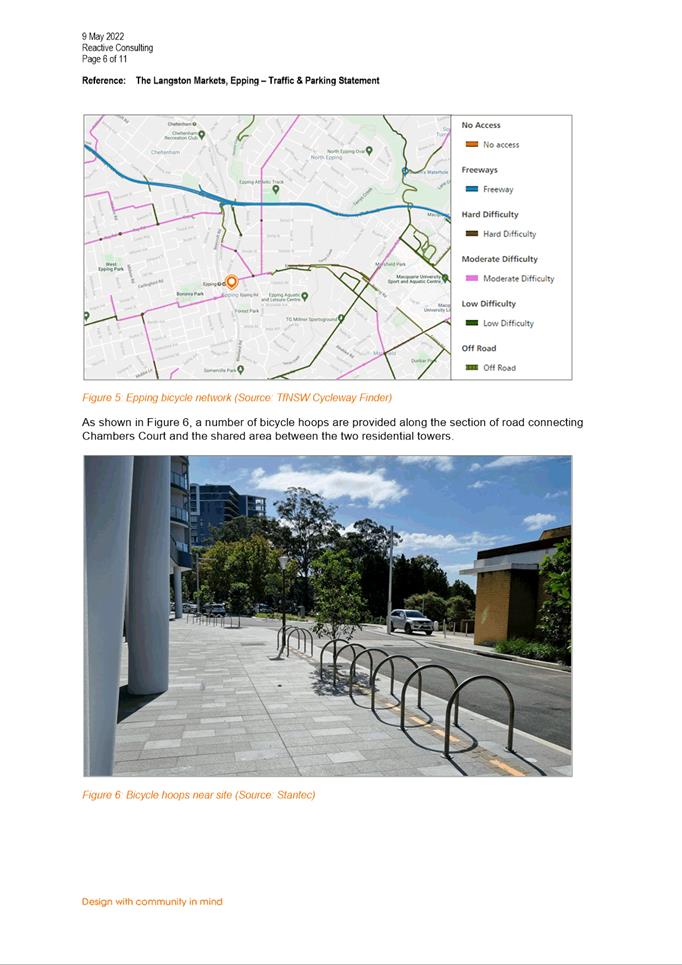
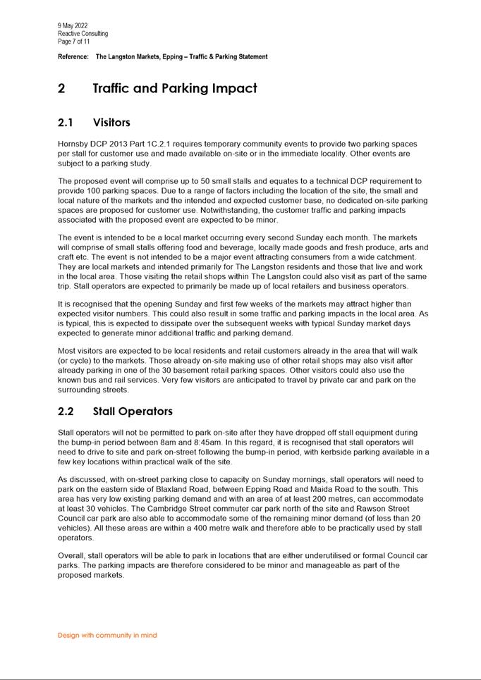
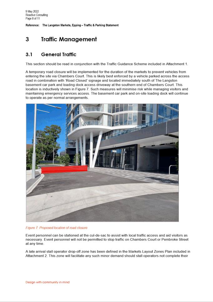
|
Item 5.2 - Attachment
8
|
Waste Management Plan
|
Local
Planning Panel 20 September 2022 Item
5.3
ITEM NUMBER 5.3
SUBJECT OUTSIDE PUBLIC MEETING:
197 Church Street, 89 Marsden Street and 207 Church Street PARRAMATTA (LOT 1,
DP 710335 and LOT 1, DP 233150)
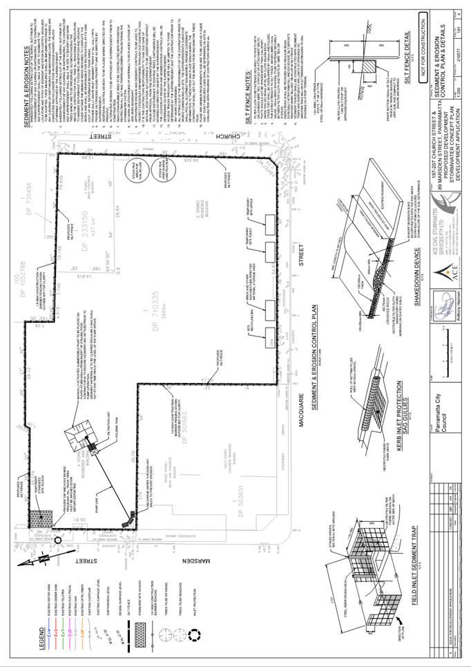
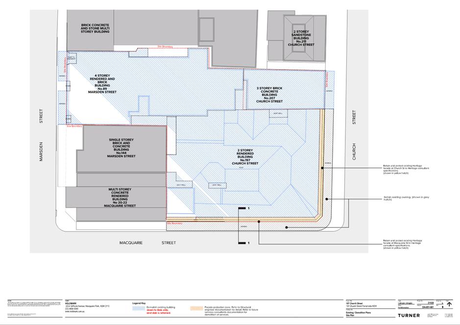
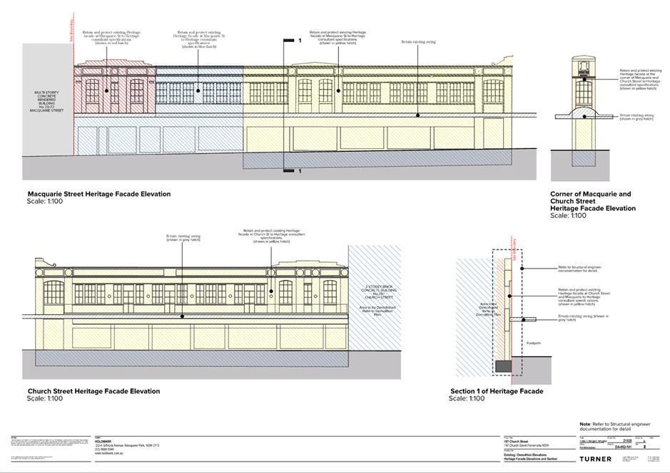
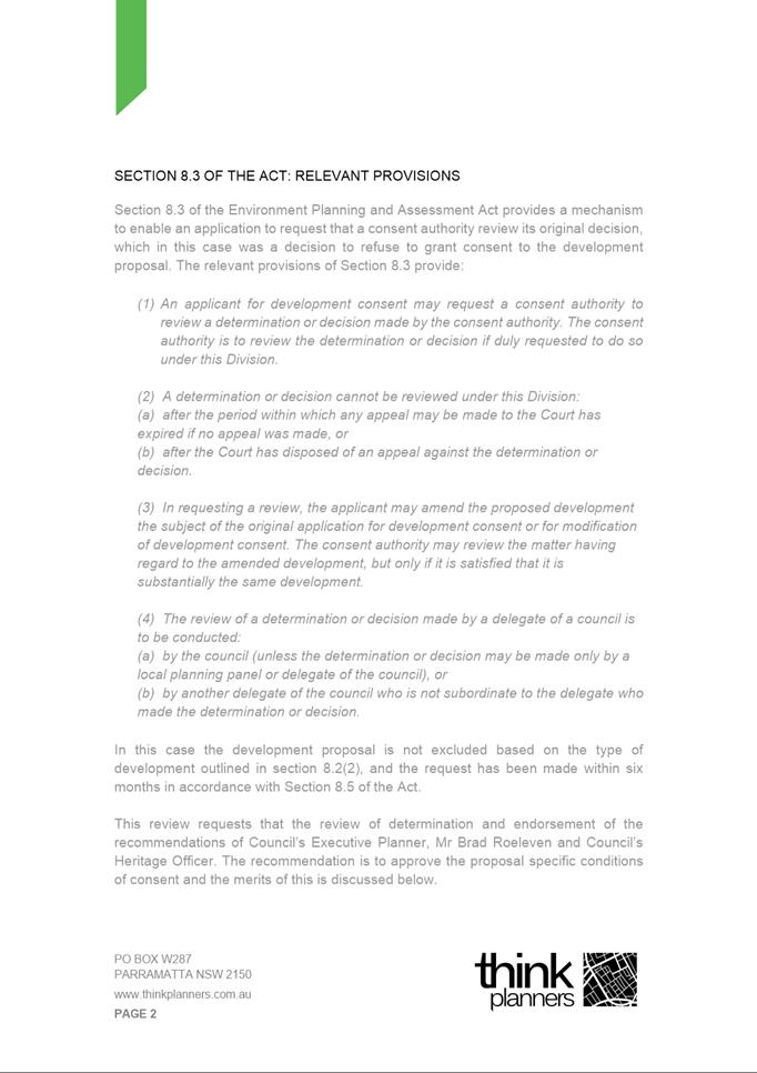
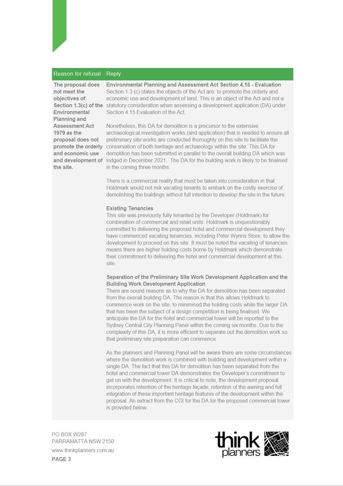
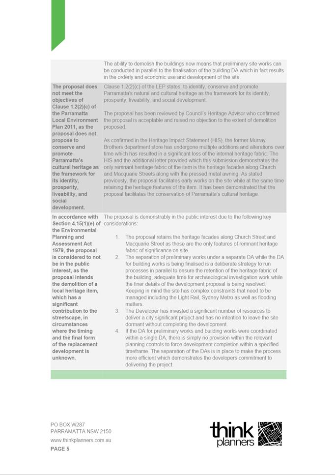
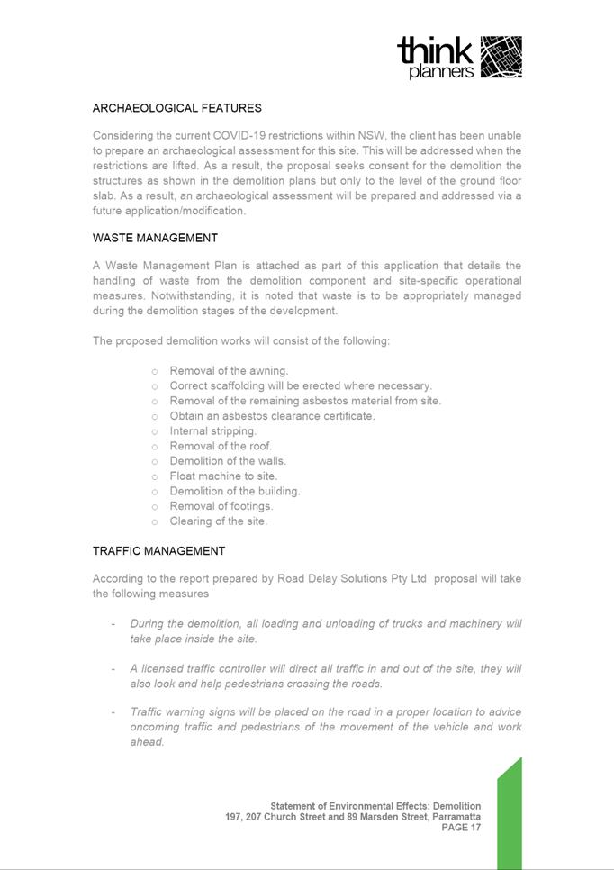
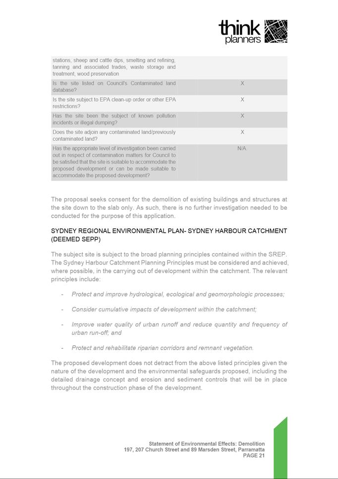
DESCRIPTION Section 8.3 Review of the decision to refuse DA 802/2021 which seeks
consent for the demolition of existing buildings across the site down to slab
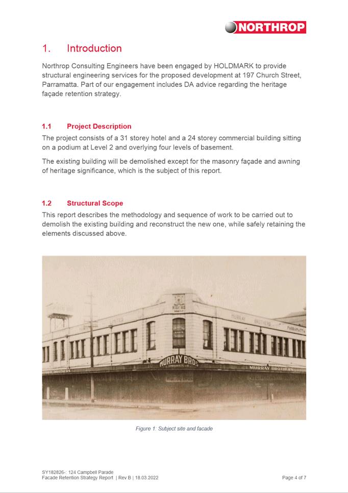
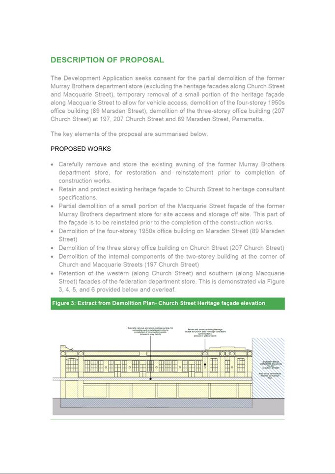
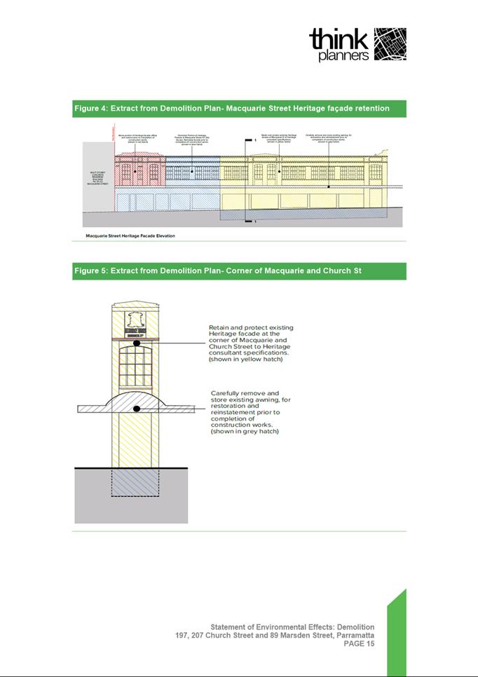
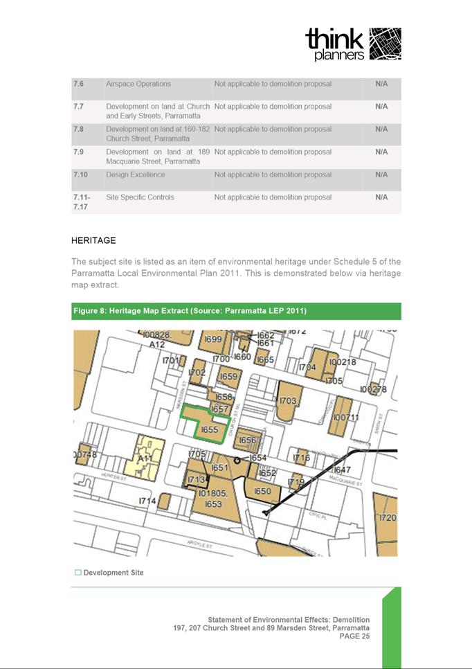
level (heritage facades of the former Murray Brothers department store
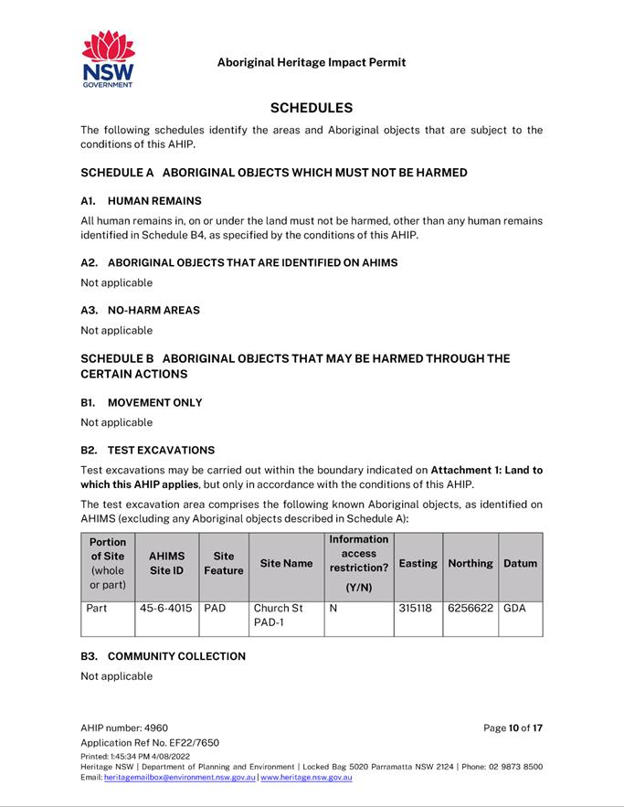
retained) and archaeological test excavations at 197 Church Street Parramatta
and 89 Marsden Street Parramatta, and 207 Church Street Parramatta.
REFERENCE DA/802/2021 - D08658901
APPLICANT/S Think Planners
OWNERS Holdmark Properties Pty Ltd
REPORT OF Group
Manager Development and Traffic Services
RECOMMENDED Approval
DATE OF
REPORT 31 August 2022
REASON FOR
REFERRAL TO LPP
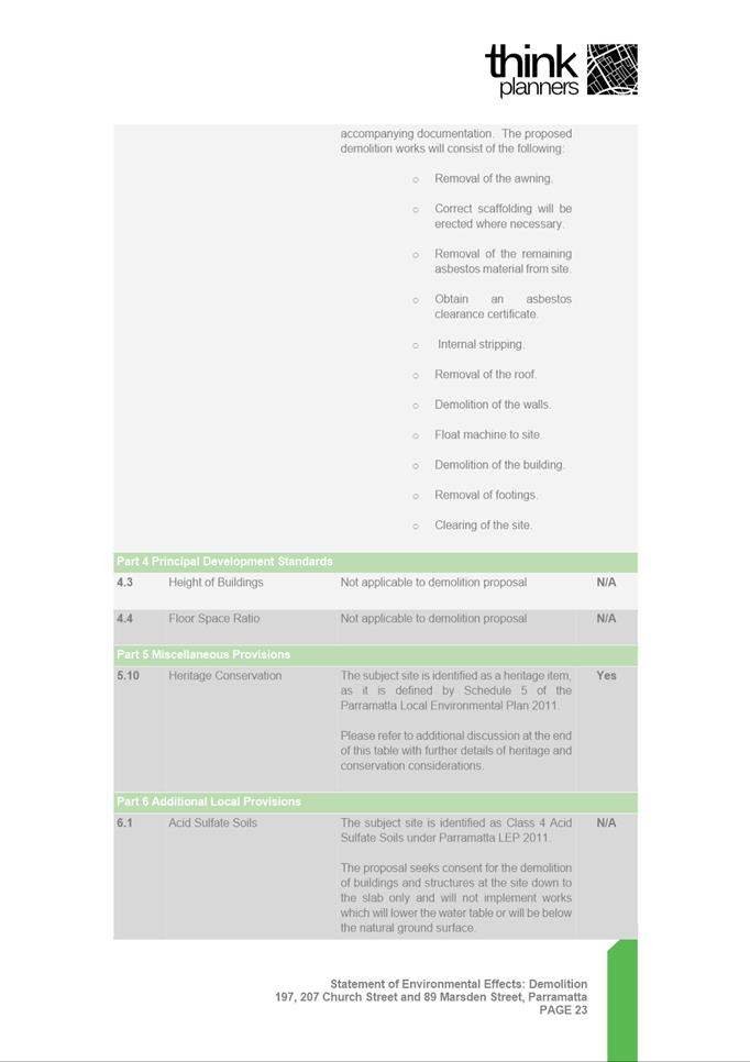
This is an application under Section 8.3 of the Environmental
Planning and Assessment Act 1979 seeking a Review of a prior decision of
the Parramatta Local Planning Panel (PLPP) to refuse DA 802/2021 which proposes
the demolition of buildings, some of which are a local heritage item under
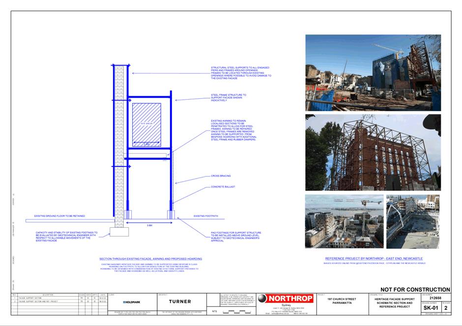
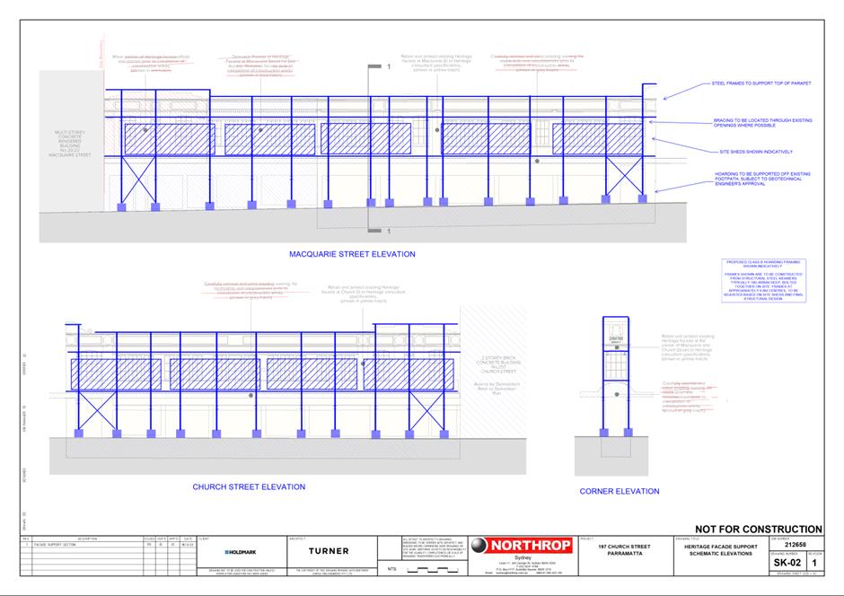
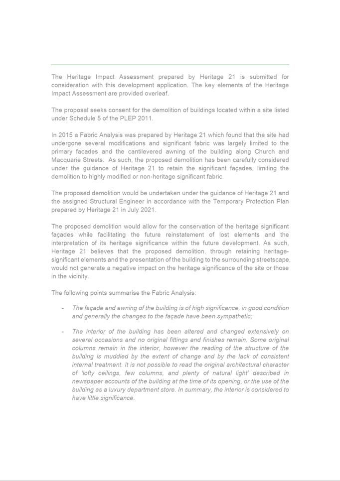
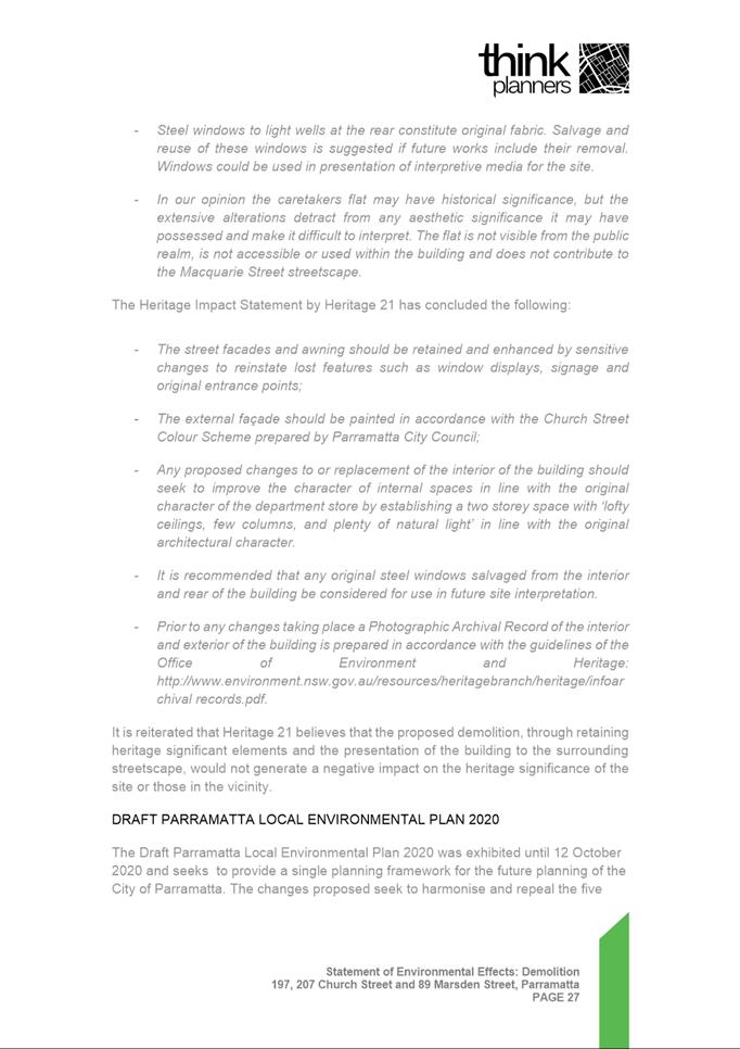
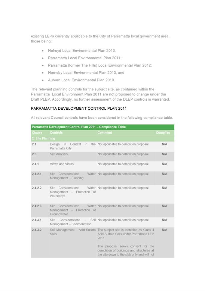
Parramatta LEP 2011. The scope of works limits demolition down to the ground
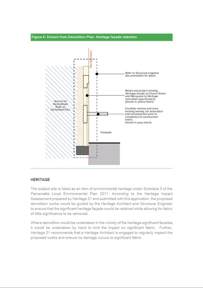
floor slab and retains the heritage facades of the former Murray Brothers
building. Consent is also sought for some excavation for the purposes of
archaeological investigations.
EXECUTIVE SUMMARY
This is a summary of the full assessment of the application
as outlined in Attachment 1 (Section 4.55 Assessment Report).
The Site
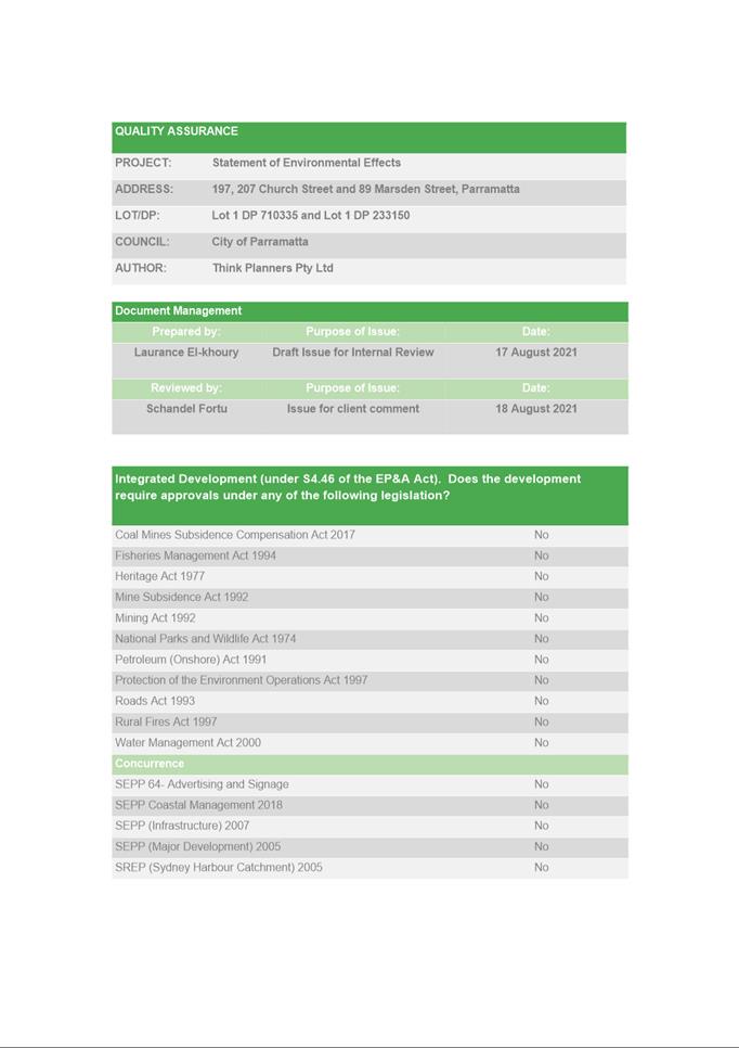
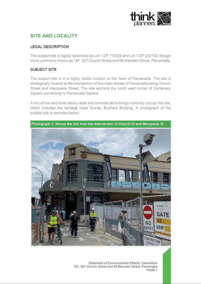
The site is legally described as Lot 1 DP 710335 and Lot 1
DP 233150, with street addresses of Nos. 197 and 207 Church Street and No. 89
Marsden Street, Parramatta. Total site area is approximately 4,342m2. A mix of
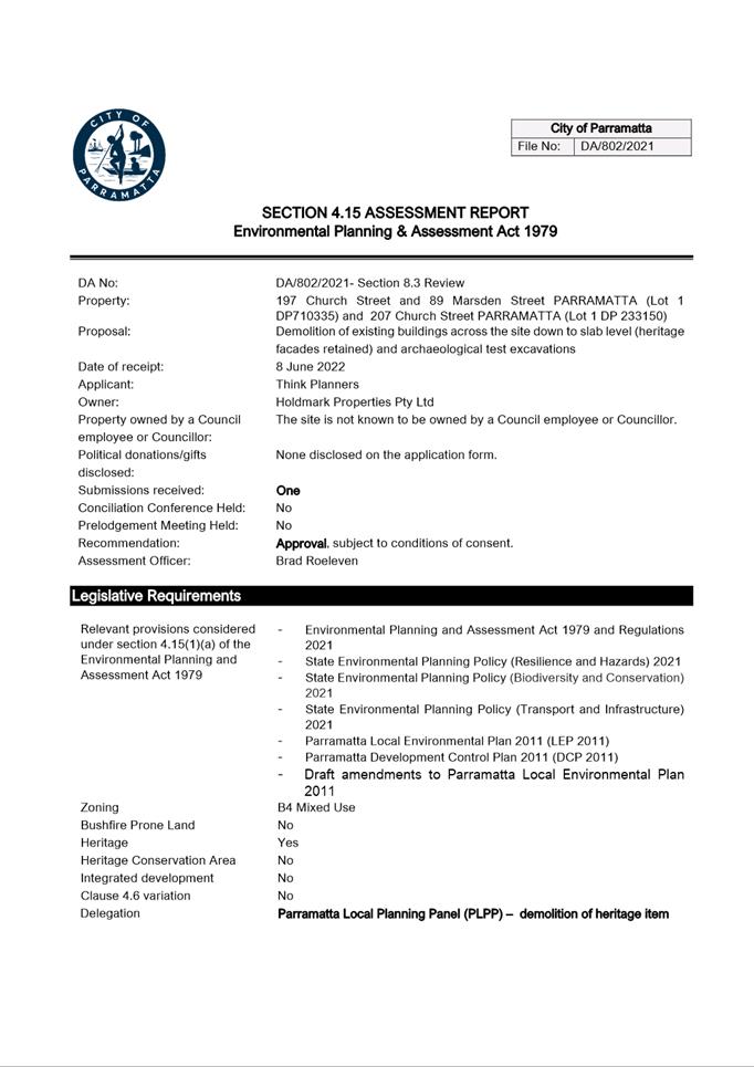
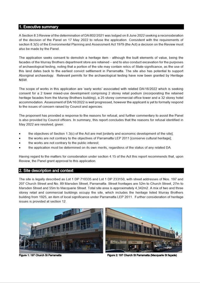
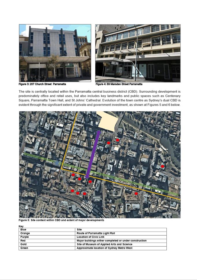
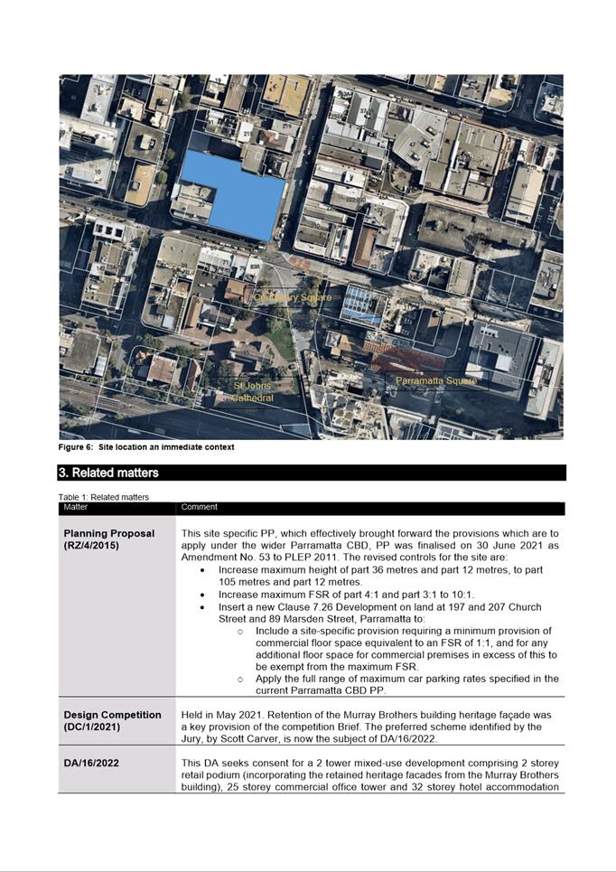
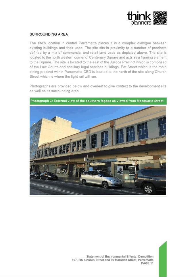
two and three storey retail and commercial buildings occupy the site, which
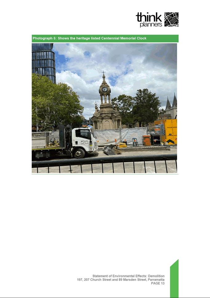
includes the heritage listed Murray Brothers building from 1925, an item of
local significance under Parramatta LEP 2011.
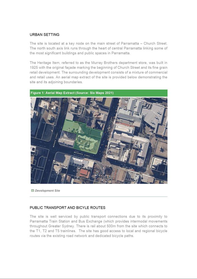
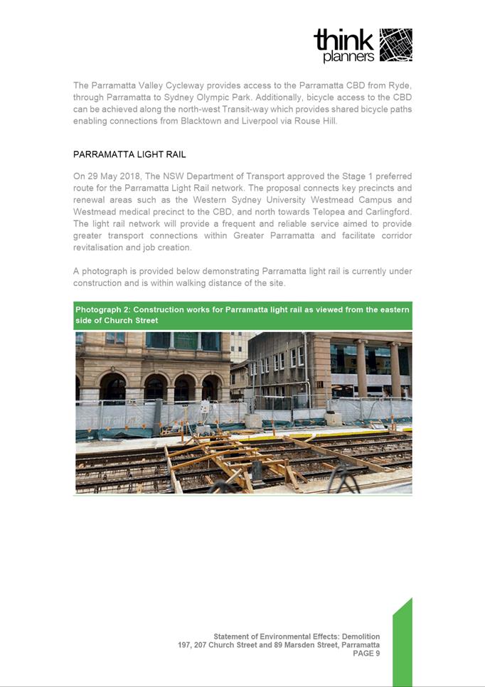
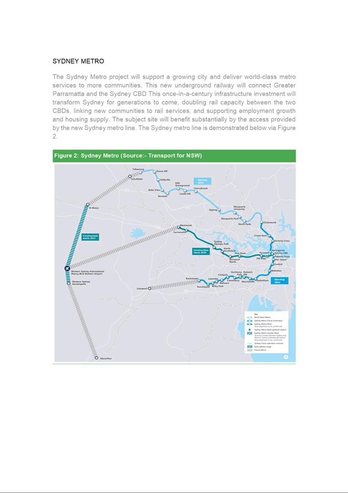
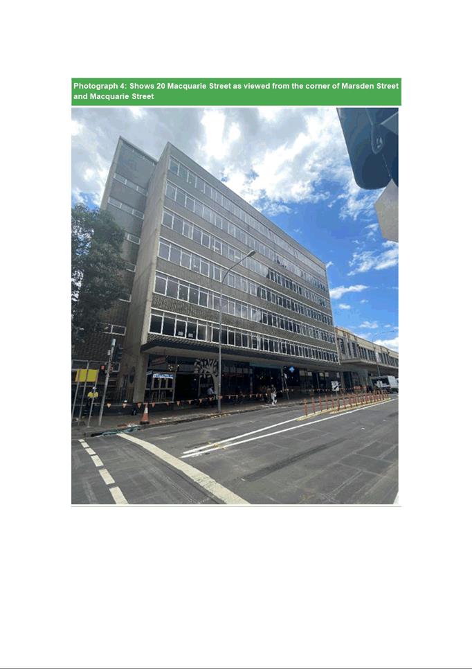
The site is centrally located within the Parramatta central
business district (CBD), occupying a prominent position at the intersection of
Church and Macquarie Streets. It is close to multiple key landmarks and public
spaces including Centenary Square, Parramatta Town Hall and St Johns’
Cathedral, and is also on the route of Parramatta Light Rail. Surrounding
development is predominately office and retail uses.
Background
This Section 8.3 Review application is made following the
decision of the Panel on 17 May 2022 to refuse DA/802/2021. At that time the
application sought consent for:
·
Demolition of all buildings on the site down to
slab level; and
·
Retention of the former Murray Brothers
department store heritage facades to Church and Macquarie Streets.
For the purposes of this Review
application the scope of works has been revised to now also include:
·
Excavation across parts of the site for the purposes of
archaeological investigations. Relevant permits for those excavations have been
issued.
Note that section 8.3(3) of the Environmental
Planning and Assessment Act 1979, allows for a Review to include
amendments to an application.
Related application
The proposal is early works for
related Development Application 16/2022, which seeks consent to implement a
scheme that has already been the subject of a related site specific Planning
Proposal, Development Control Plan and Design Excellence competition. Broadly, DA
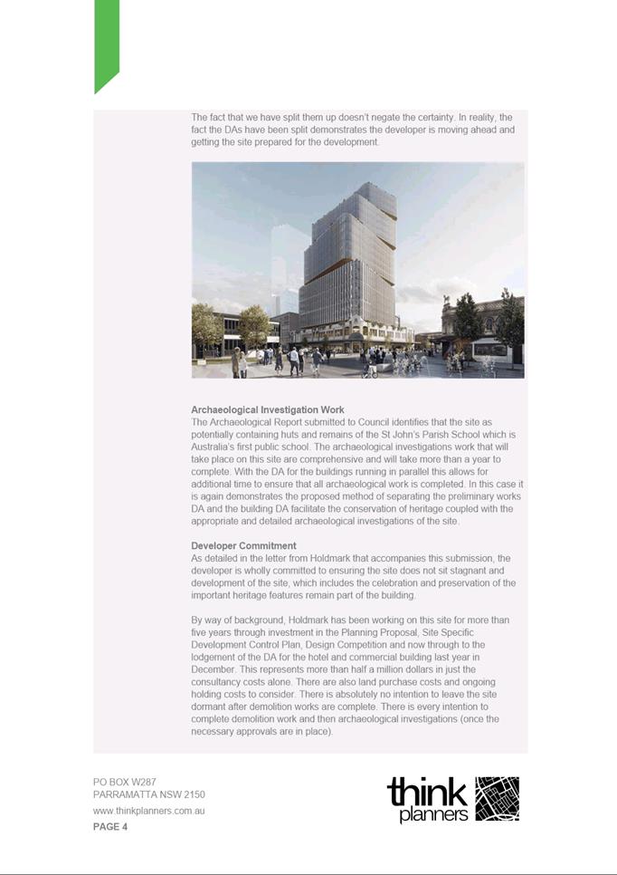
16/2022 seeks consent for a two tower mixed-use development comprising:
·
A 2 storey retail
podium, incorporating the retained heritage facades from the Murray Brothers
building;
·
A 25 storey commercial
office tower and 32 storey hotel accommodation tower; and
·
4 basement levels for car parking, hotel ballroom and service areas.
That application, lodged on 11
January 2022, is under assessment with several fundamental concerns yet to be
resolved.
Assessment
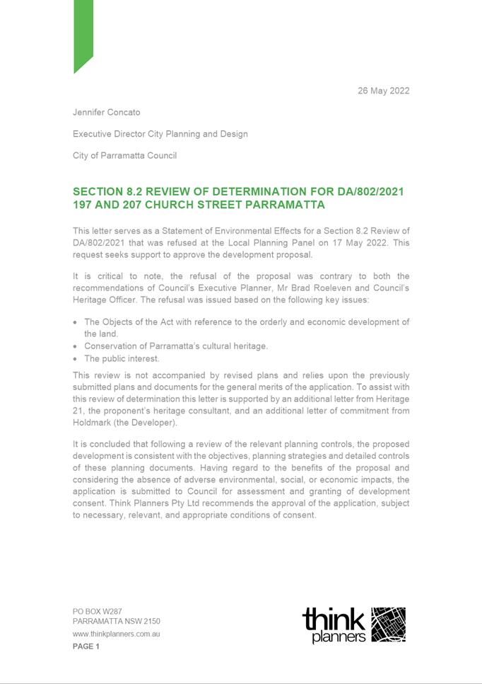
The proponent has provided a response to the reasons for
refusal, and further commentary to assist the Panel is also provided by Council
officers. In summary, this report concludes that the reasons for refusal
identified in May 2022 are resolved, given:
·
the objectives of Section 1.3(c)
of the Act are met [orderly and economic development of the site];
·
the works are not contrary to the
objectives of Parramatta LEP 2011 [conserve cultural heritage];
·
the works are not contrary to the
public interest;
·
the application must be determined
on its own merits, regardless of the status of any related DA.
Notification
The application was advertised in accordance with
Council’s Notification
Development Control Plan. One submission was received,
raising objections based on concerns for impacts on site archaeology.
Conclusion
After consideration of the development
against Section 4.15 of the Environmental Planning and Assessment Act 1979,
and the relevant statutory and policy provisions, the proposal is suitable for
the site and is in the public interest.
RECOMMENDATION
(a)
That the Parramatta Local Planning Panel (PLPP),
exercising the functions of Council, pursuant to Section 4.16 of the Environmental
Planning and Assessment Act 1979, grant development consent to DA/802/2021
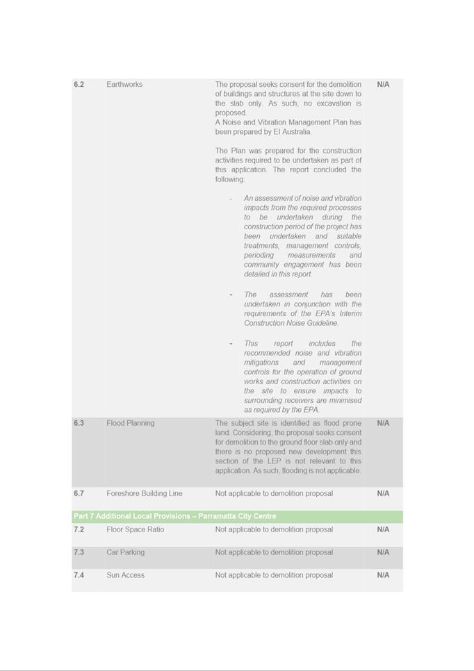
for the demolition of existing buildings down to ground floor slab, except for
the heritage facades of the former Murray Brothers
building to Church and Macquarie Streets which must be retained, and for
archaeological testing at Lot 1 DP 710335 and Lot 1 DP 233150 being Nos. 197
and 207 Church Street and No. 89 Marsden Street, Parramatta, subject to
conditions of consent in Attachment 1.
(b) Further, that submitters be notified of the decision.
REASONS FOR APPROVAL
1.
To facilitate the orderly
implementation of the objectives of the Environmental Planning and
Assessment Act 1979 and the aims and objectives of the relevant Council
Planning instrument.
2.
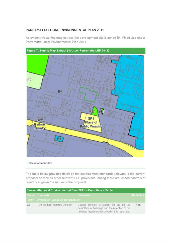
The proposal is permissible in the
B4 Mixed Use zone and is satisfactory when considered against Section 4.15 of
the Environmental Planning and Assessment Act 1979.
3.
The proposal allows for the
heritage values the site to be retained with an expectation that the primary
façade will be incorporated into a future redevelopment of this site.
4.
Approval of the application is in
the public interest.
Brad Roeleven
Executive Planner
Attachments:
|
1⇩ 
|
Assessment report and draft conditions
|
50 Pages
|
|
|
2⇩ 
|
Locality Plan
|
1 Page
|
|
|
3⇩ 
|
Plans used during assessment
|
5 Pages
|
|
|
4⇩ 
|
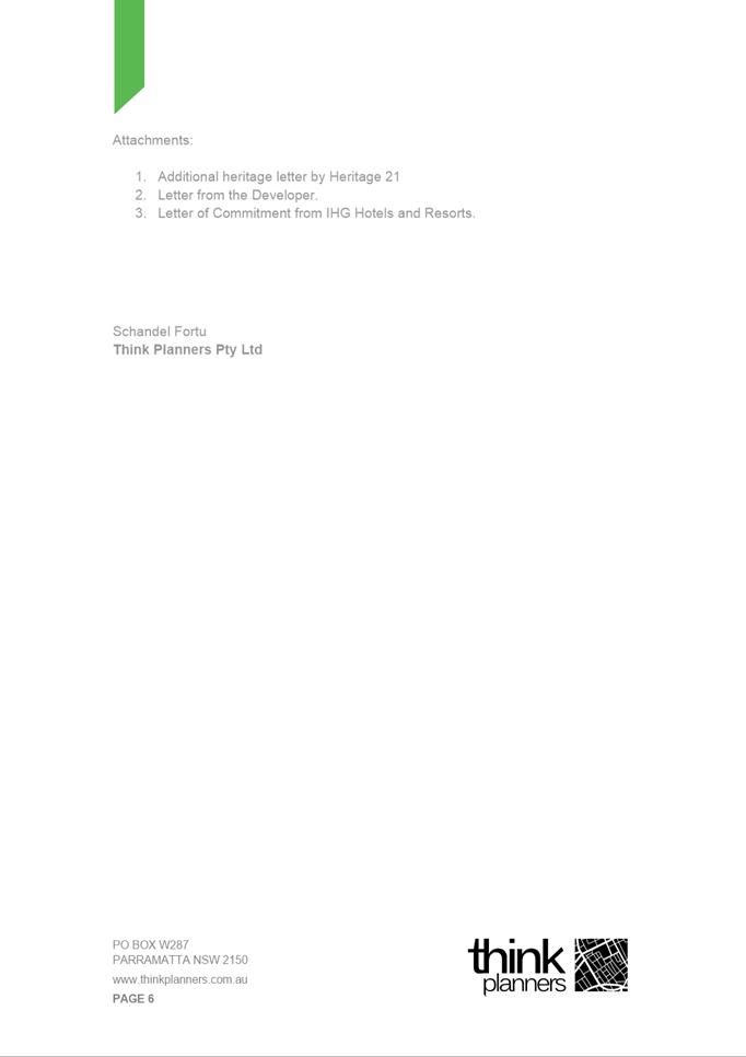
Letter from Think Planners
|
6 Pages
|
|
|
5⇩ 
|
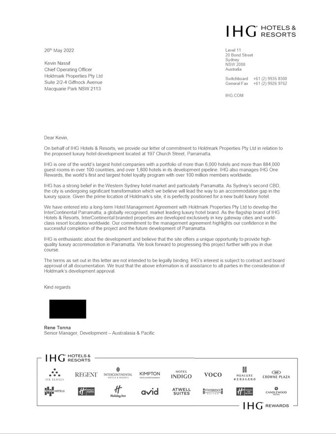
Letter from IHG Hotels and Resorts
|
1 Page
|
|
|
6⇩ 
|
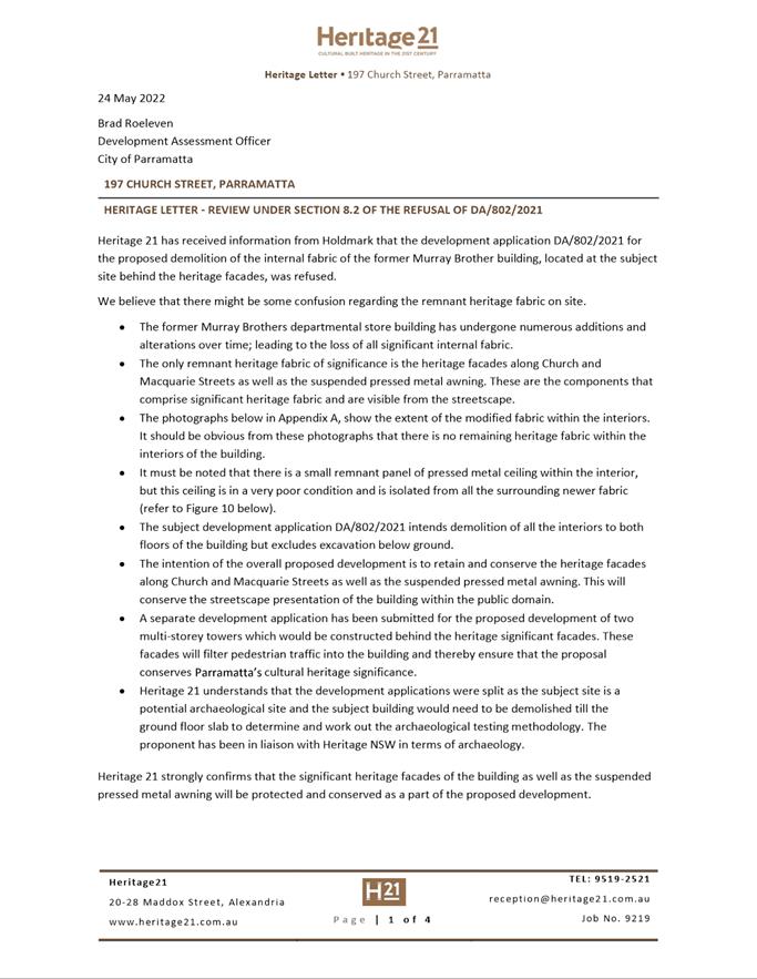
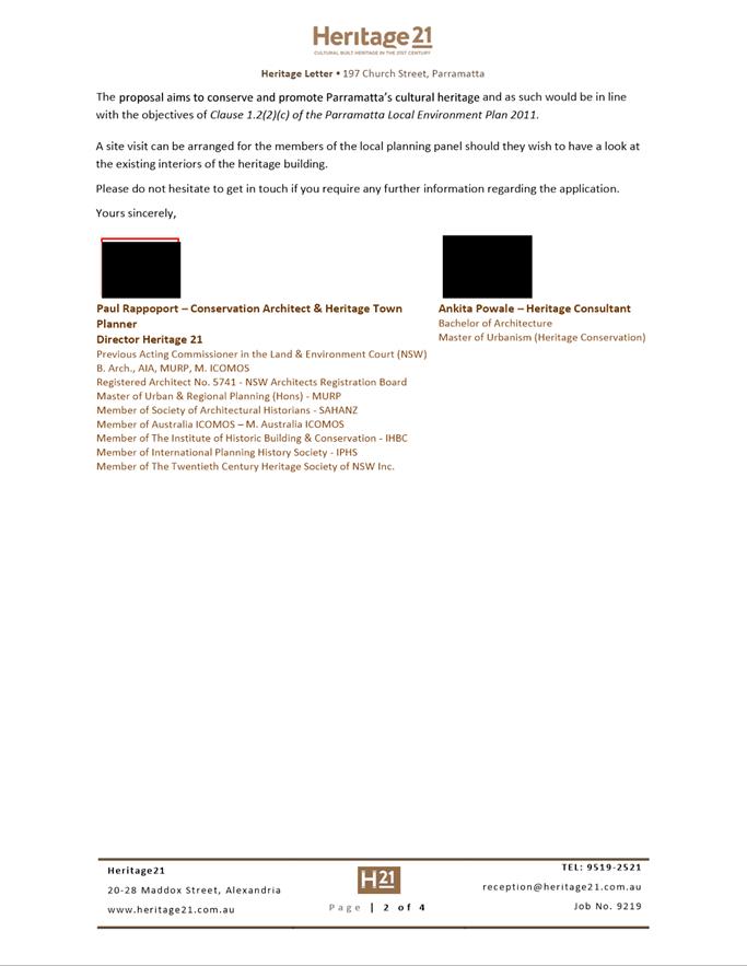
Letter from Heritage 21
|
4 Pages
|
|
|
7⇩ 
|
Facade and Awning Retention Strategy
Report
|
8 Pages
|
|
|
8⇩ 
|
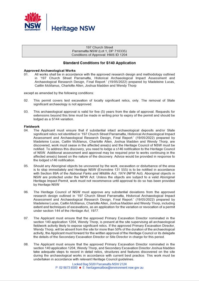
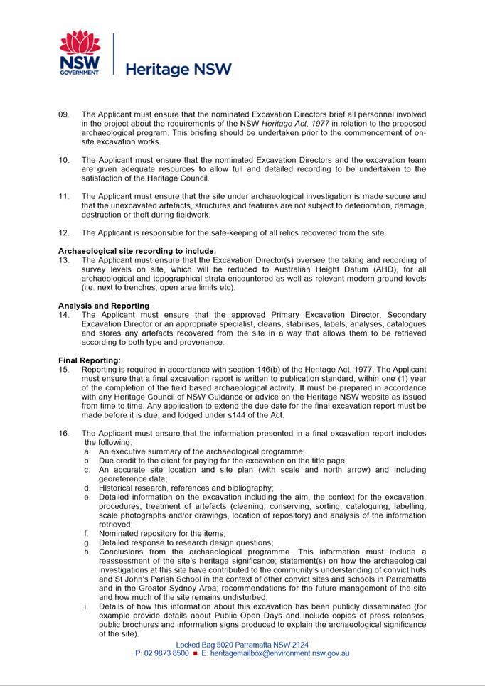
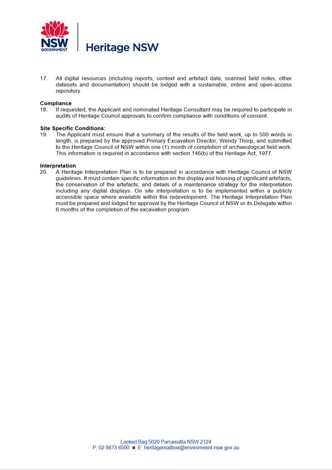
Section 140 permit
|
5 Pages
|
|
|
9⇩ 
|
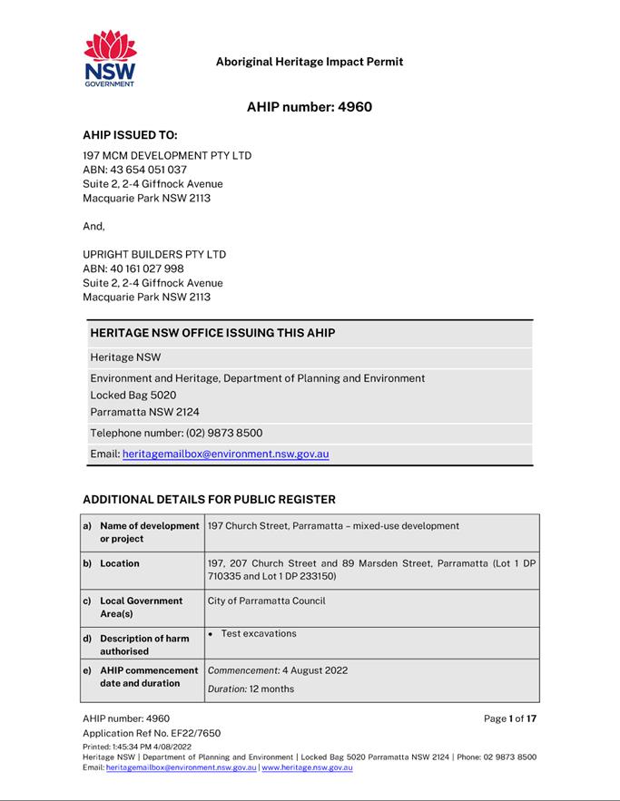
Aboriginal Heritage Impact Permit - Test
Excavations
|
17 Pages
|
|
|
10⇩ 
|
Statement of Environmental Effects (as
lodged with original DA)
|
32 Pages
|
|
REFERENCE MATERIAL
|
Item 5.3 - Attachment
1
|
Assessment report and draft conditions
|
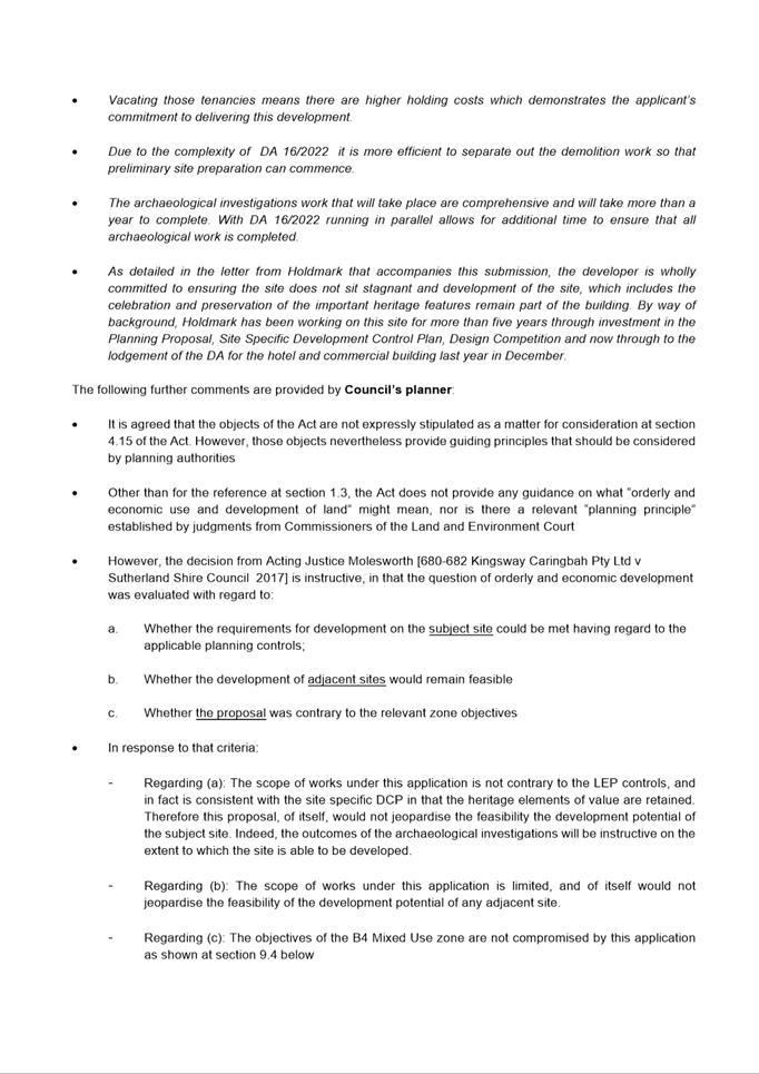
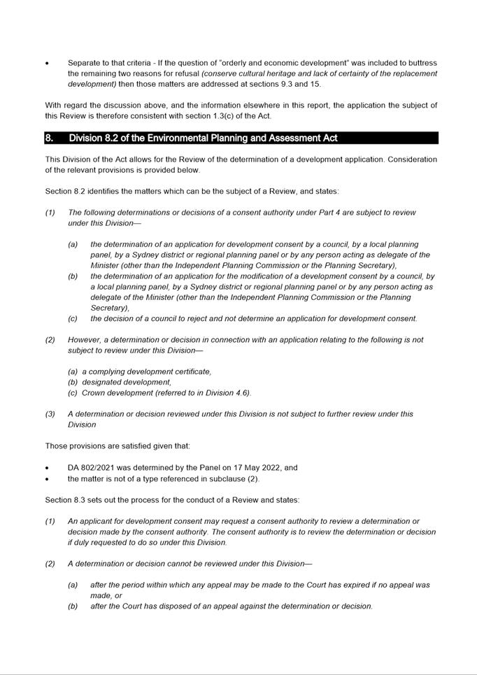
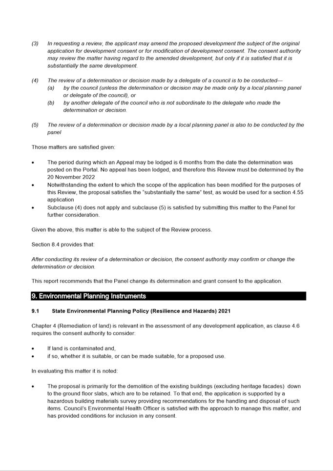
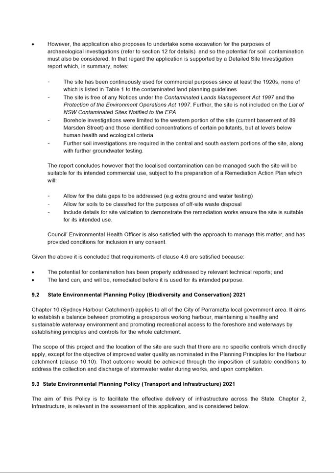
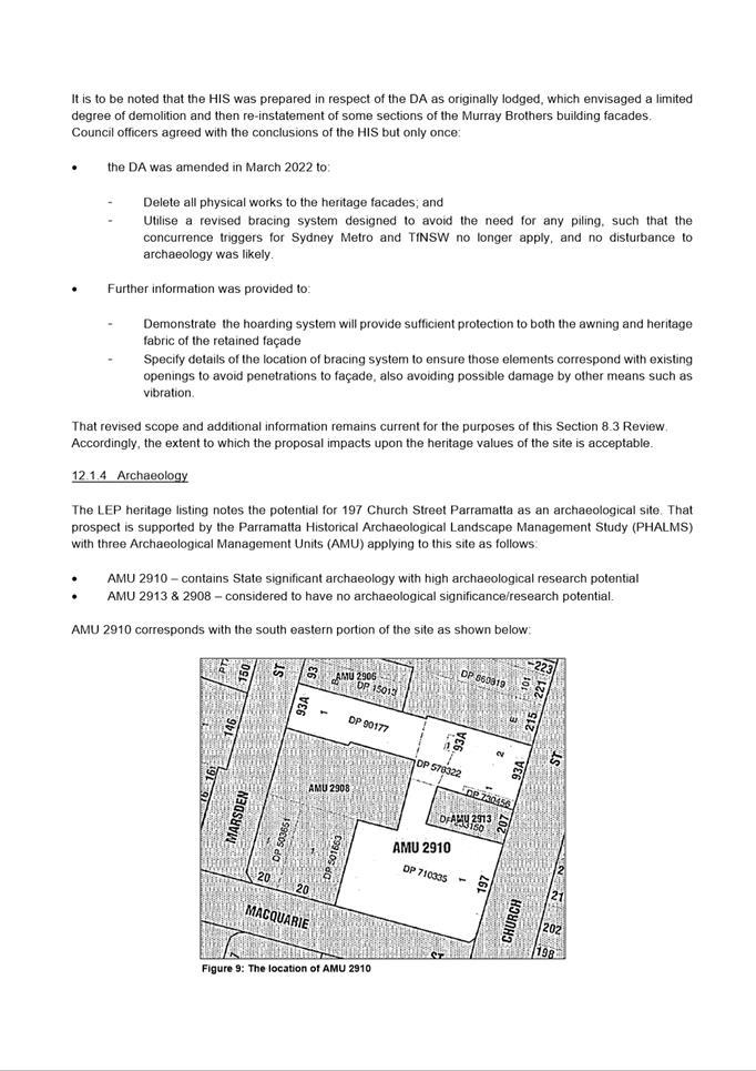
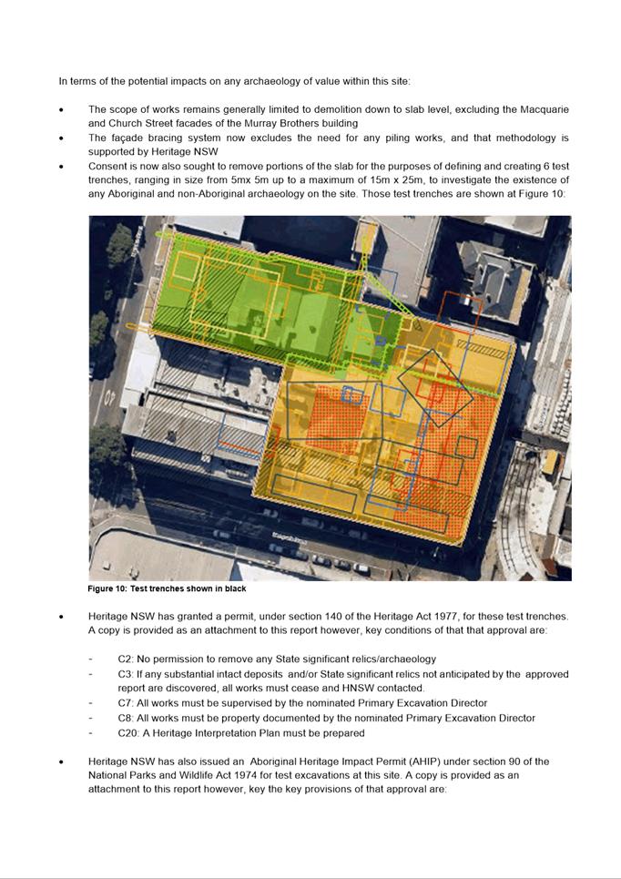
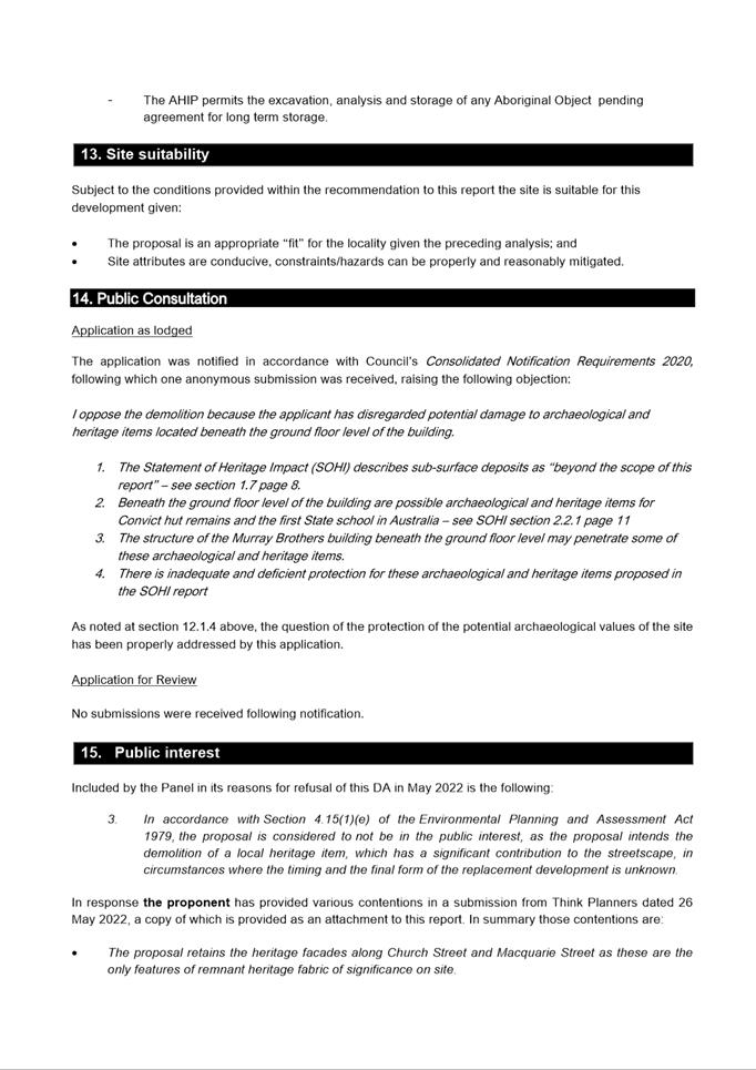
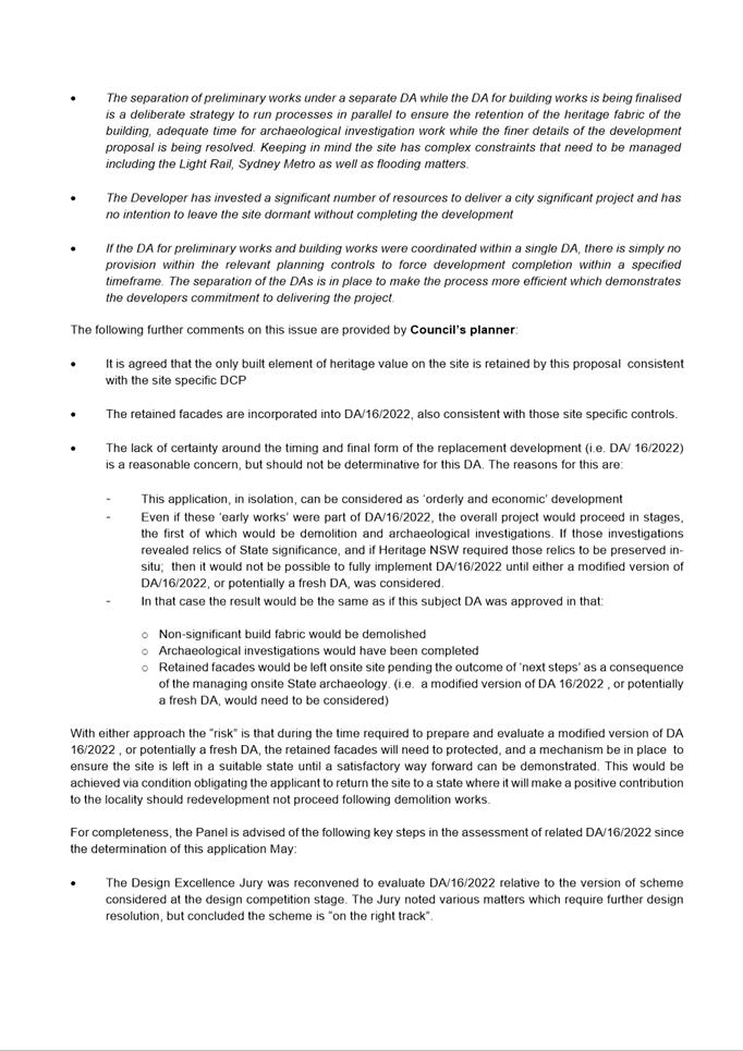
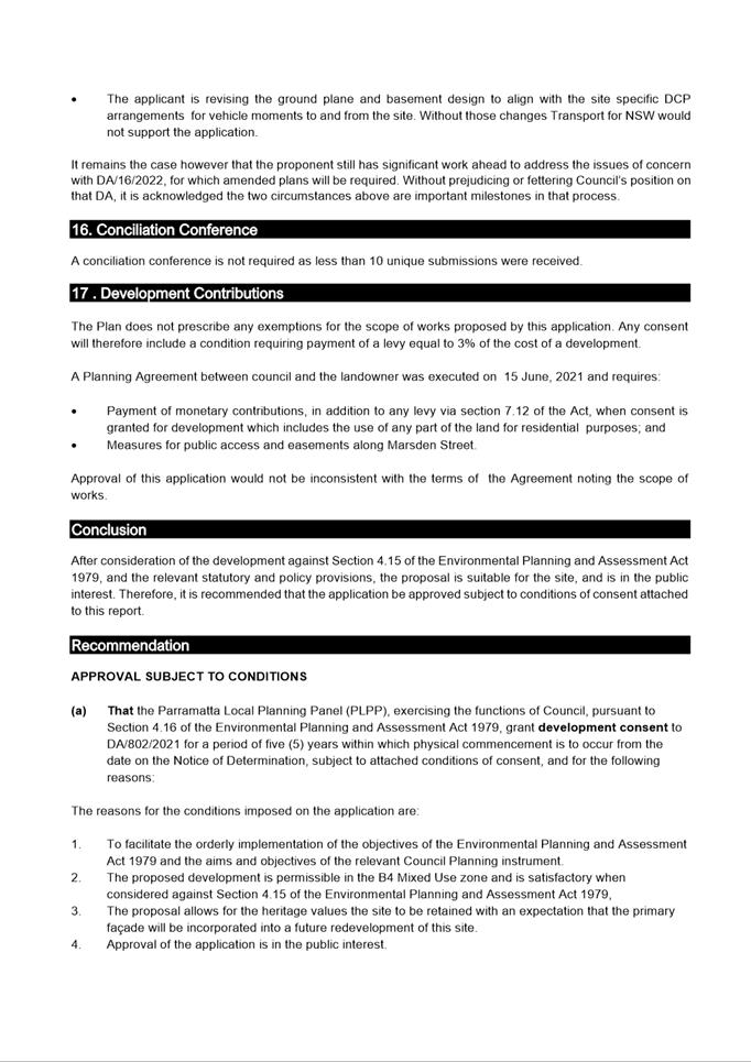
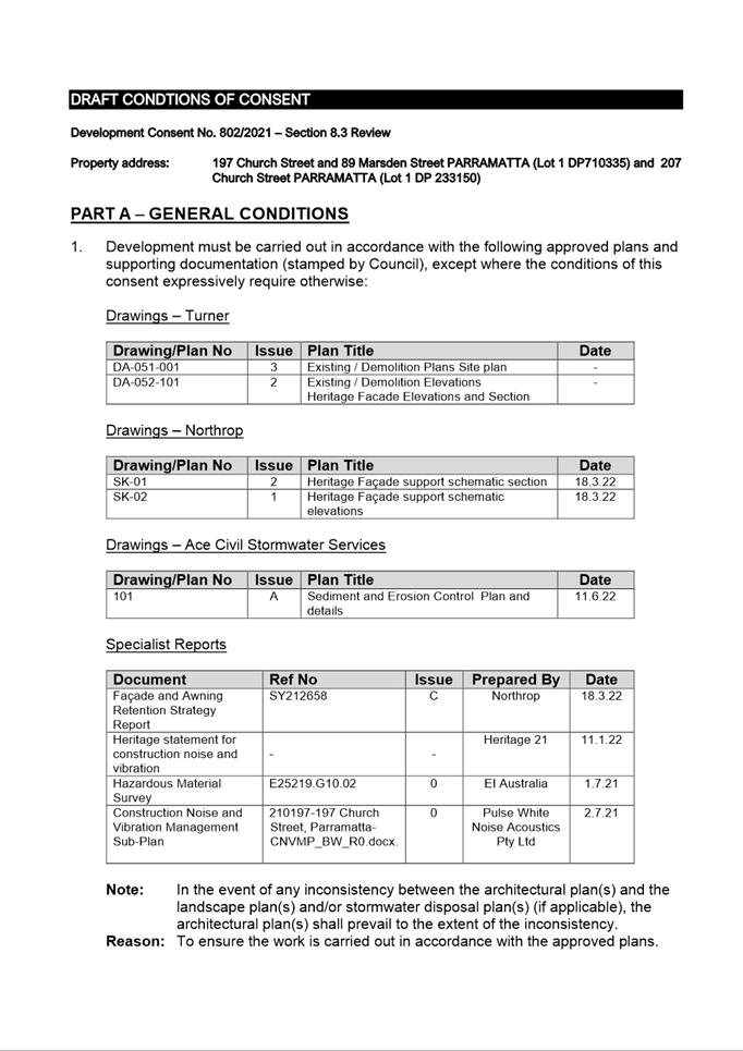
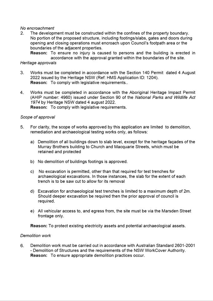
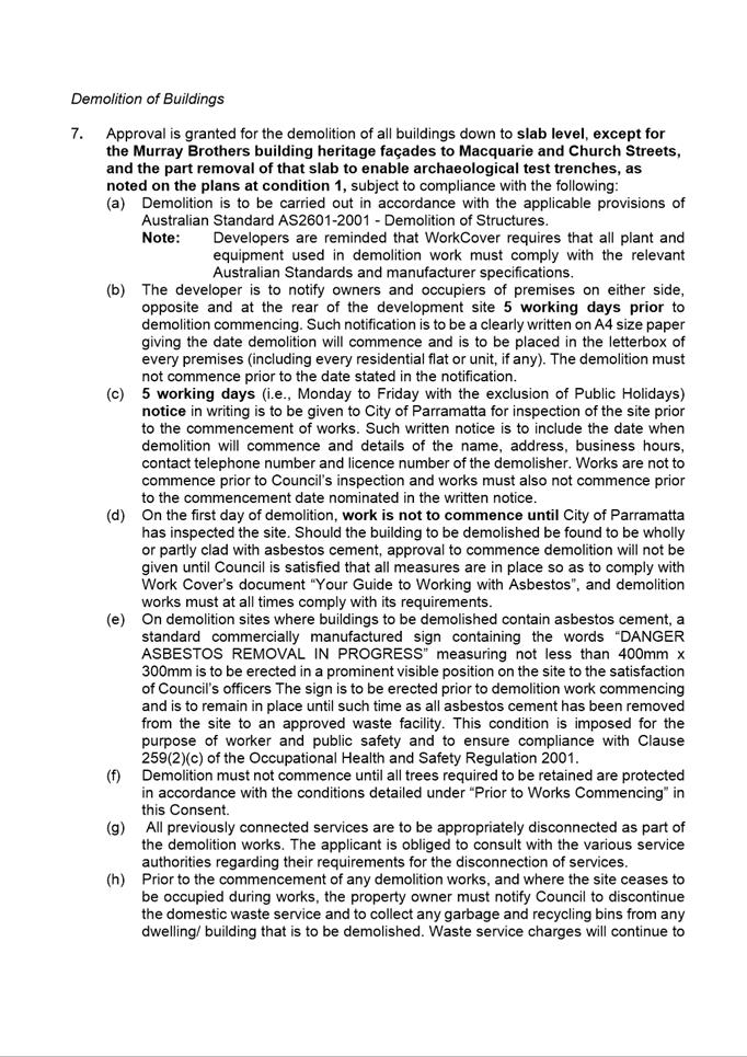
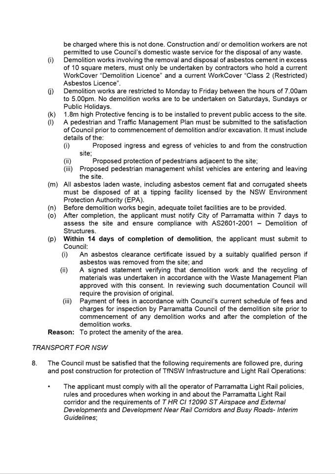
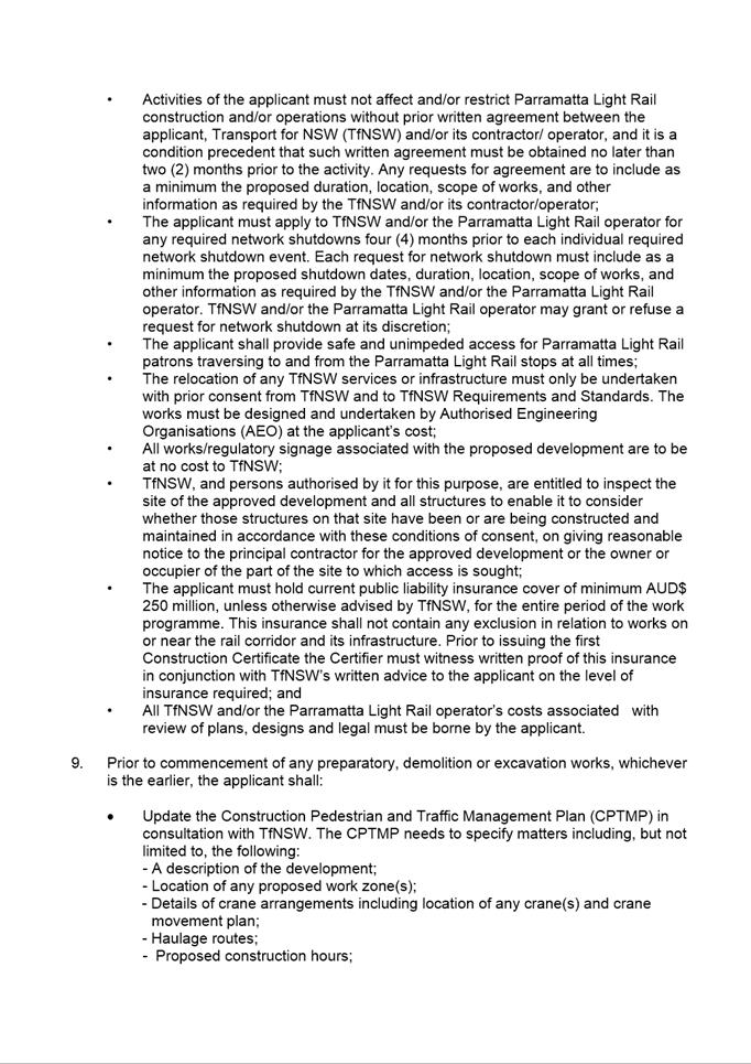
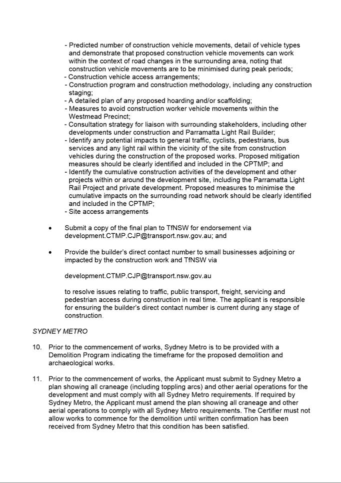
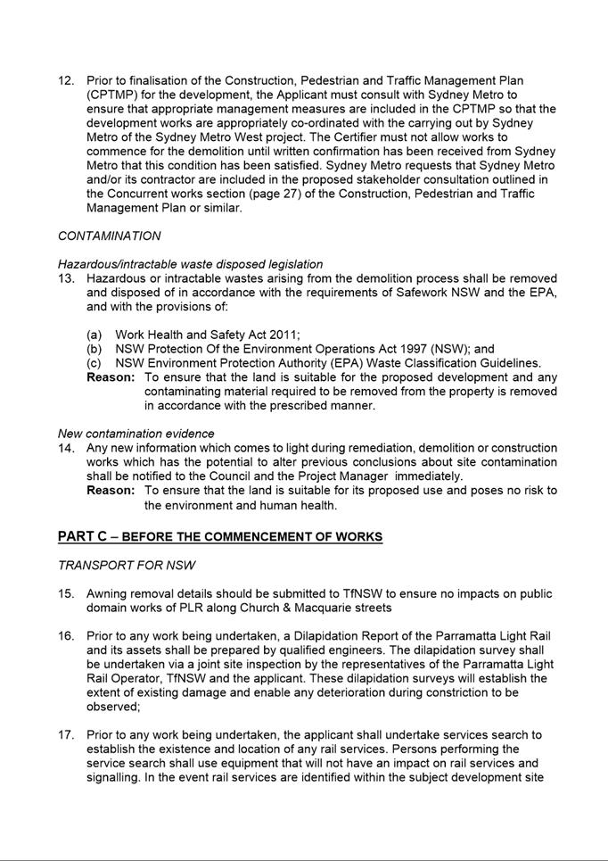
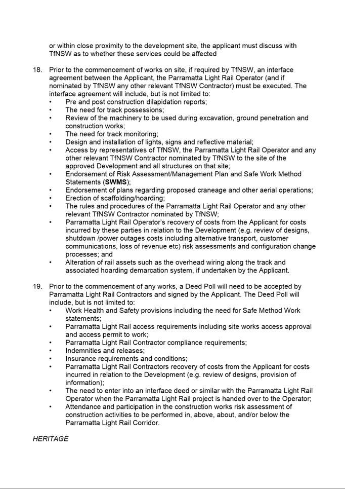
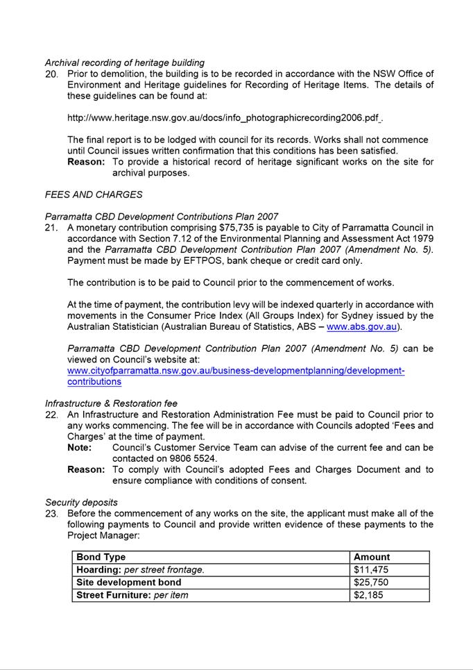
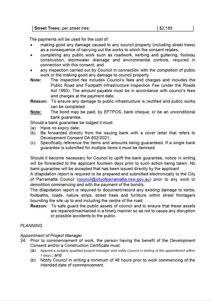
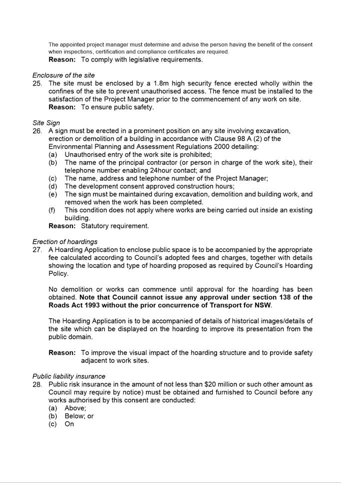
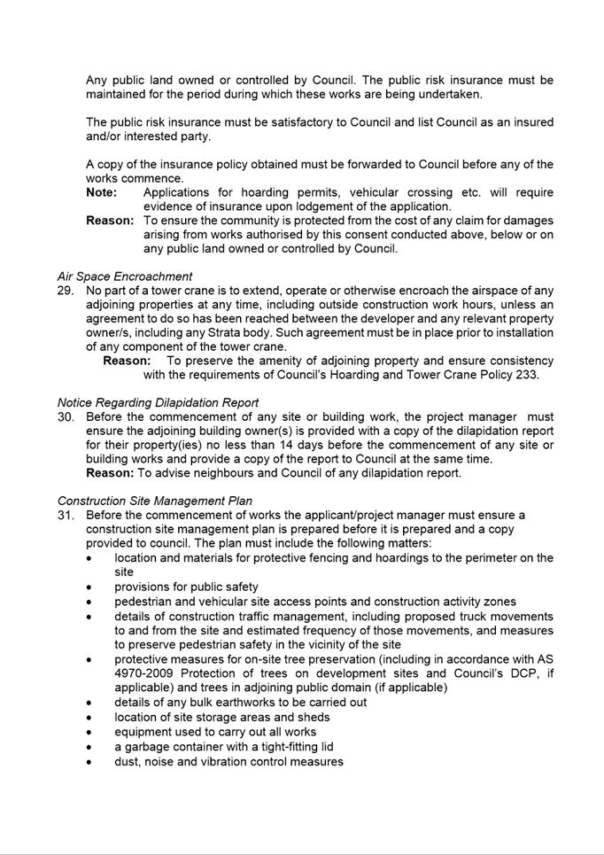
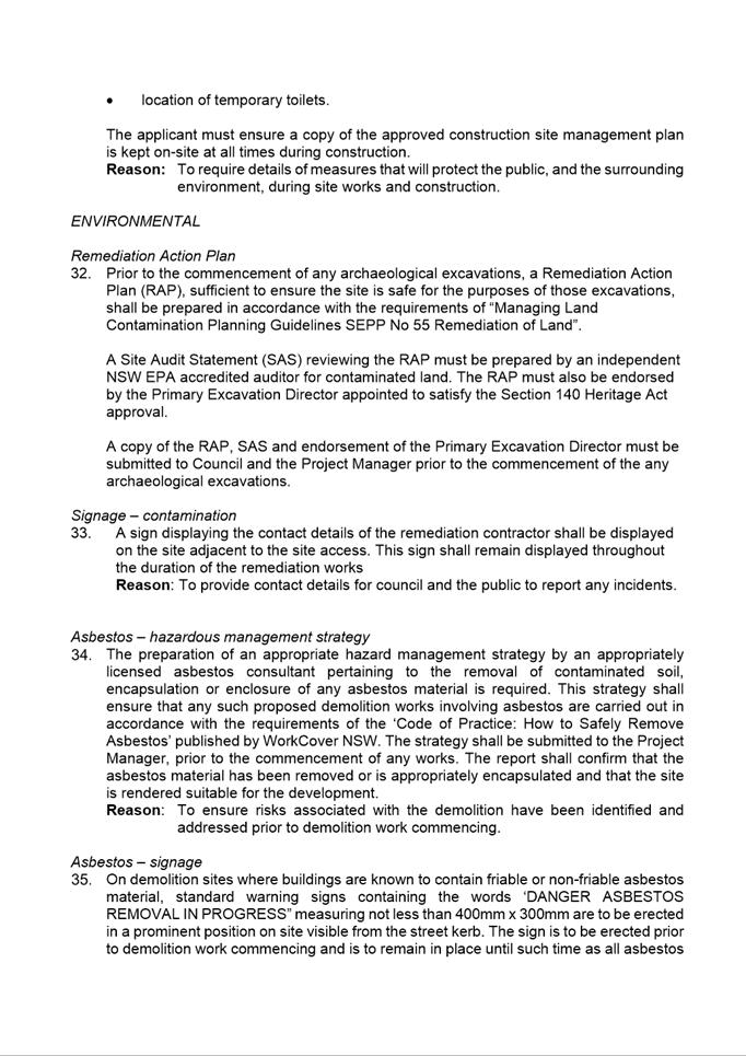
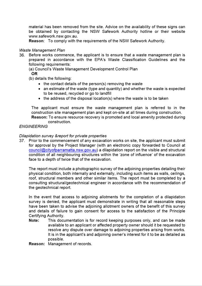
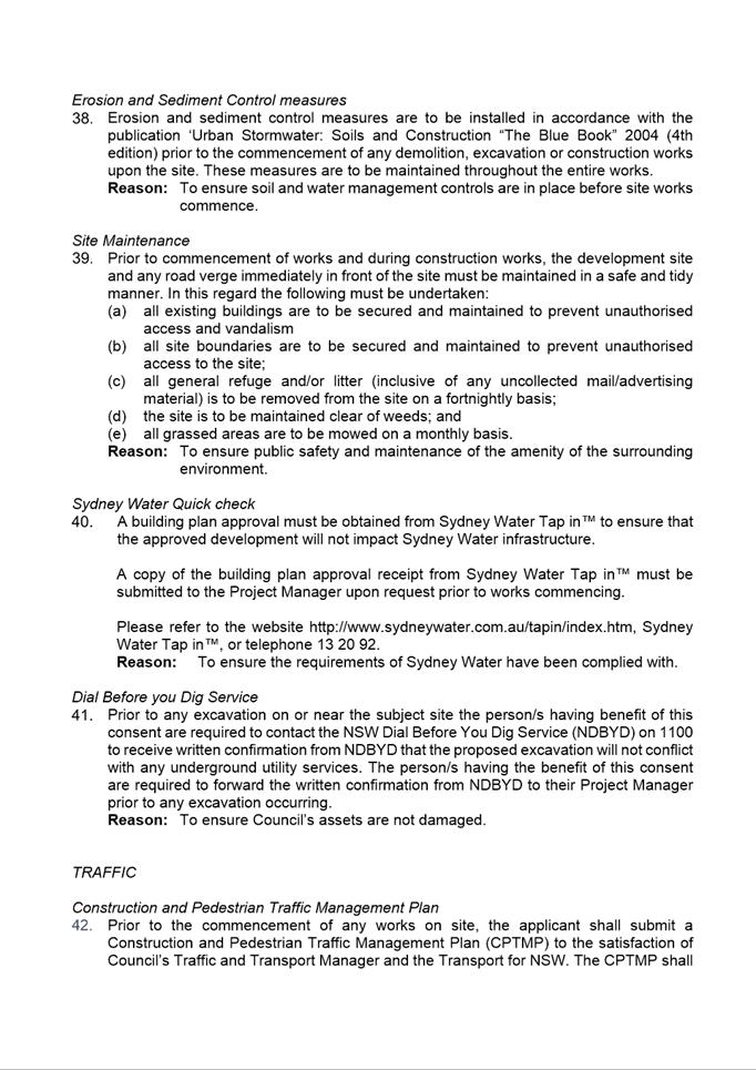
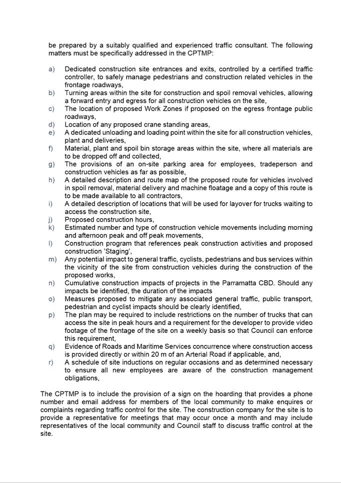
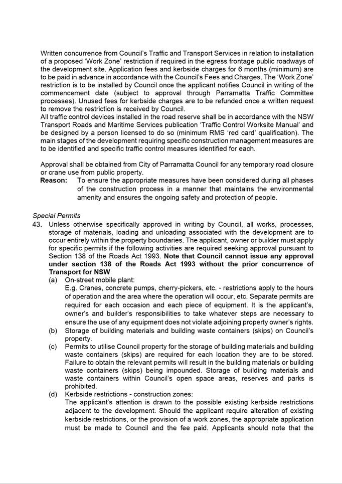
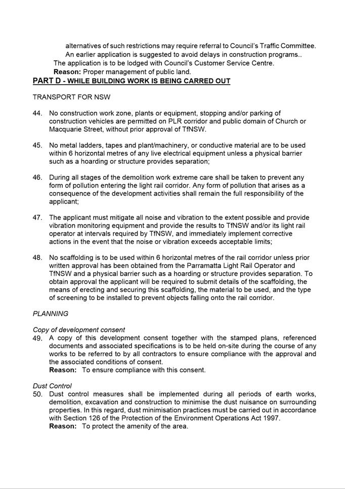
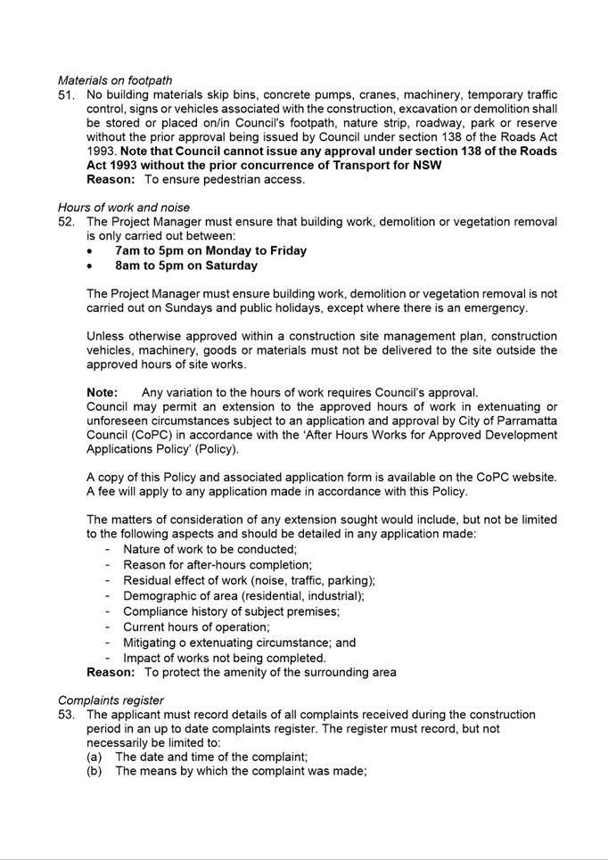
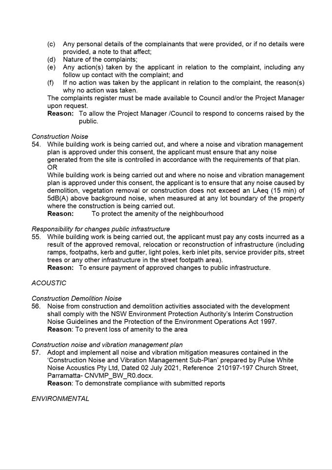
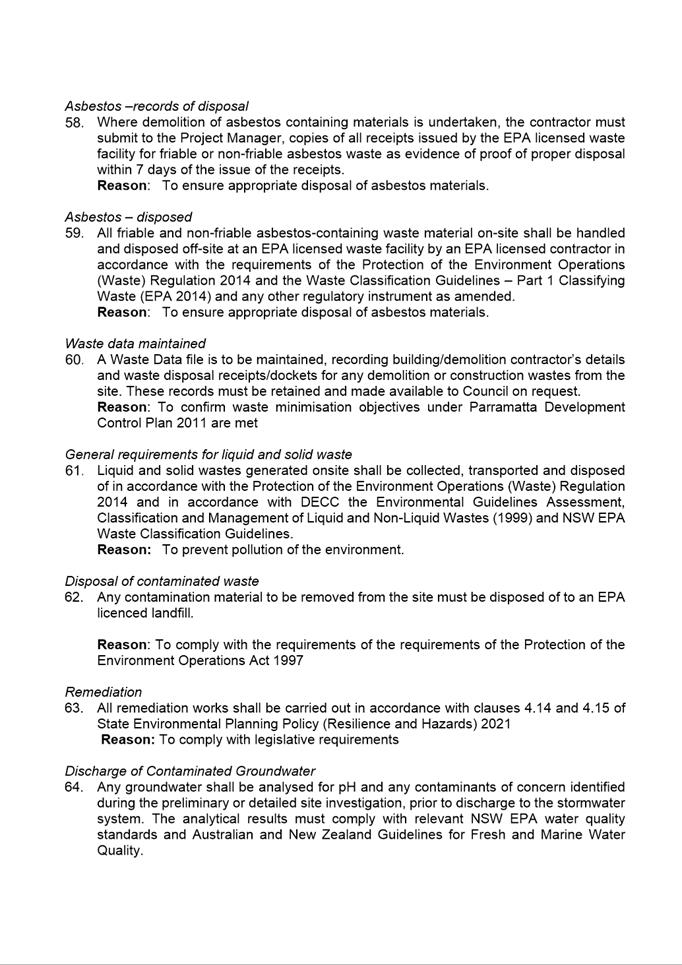
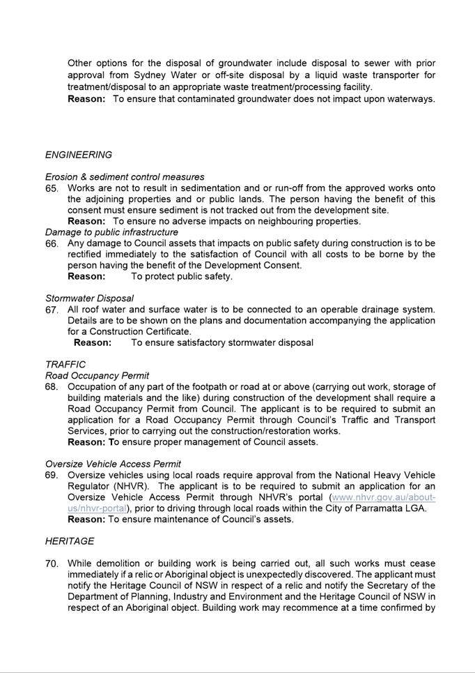
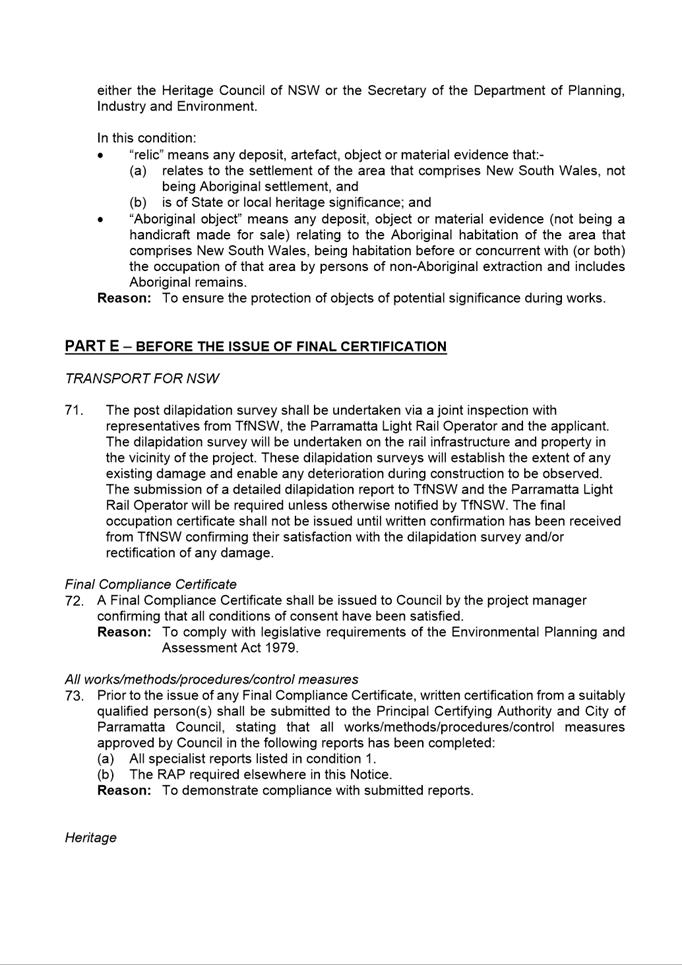
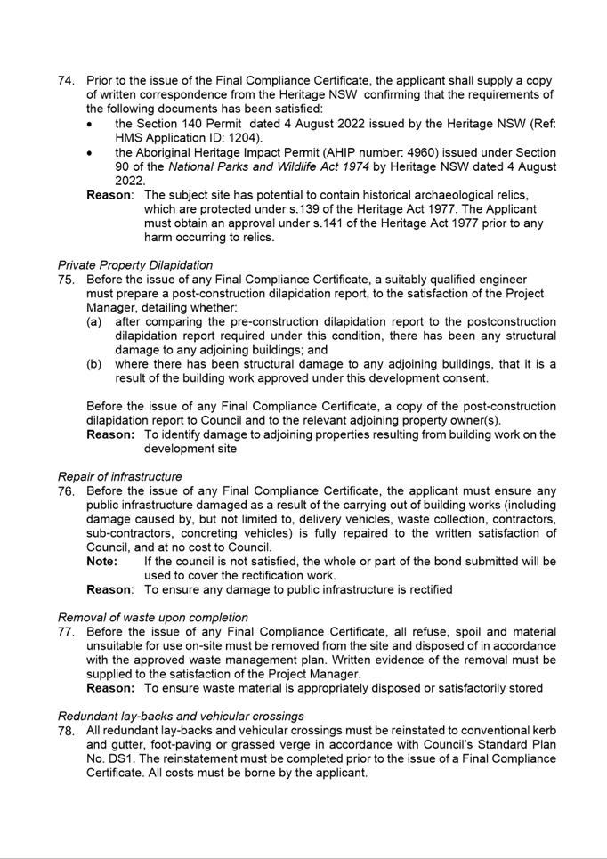
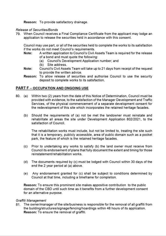
|
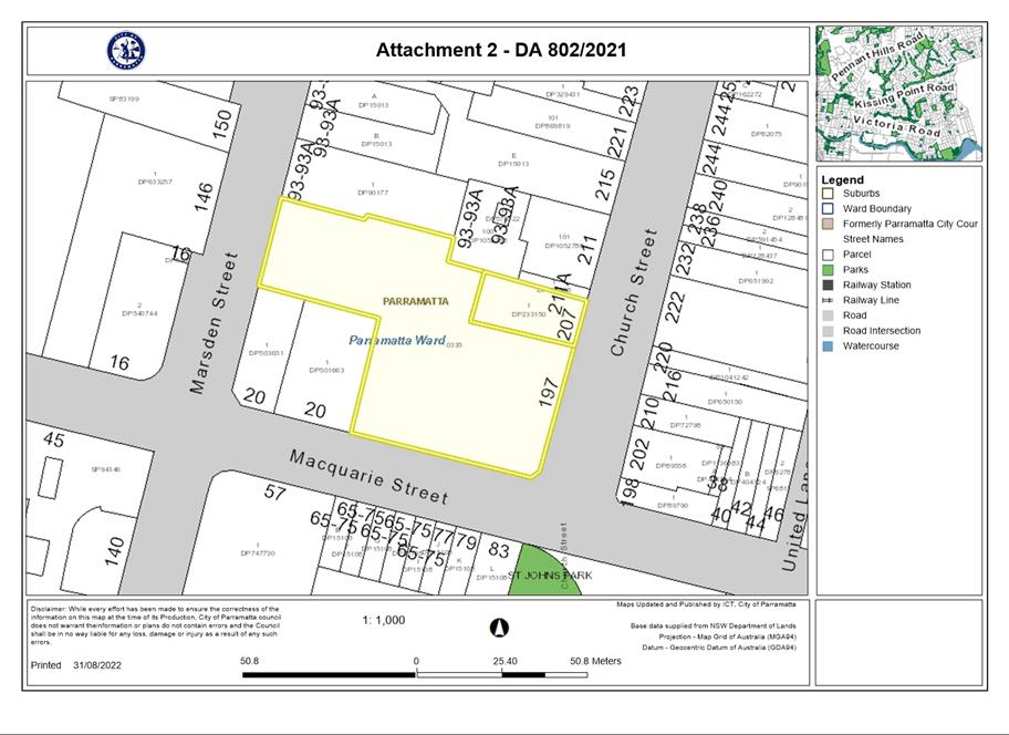
Item 5.3 - Attachment 2
|
Locality Plan
|
|
Item 5.3 - Attachment
3
|
Plans used during assessment
|
|
Item 5.3 - Attachment
4
|
Letter from Think Planners
|
|
Item 5.3 - Attachment 5
|
Letter from IHG Hotels and Resorts
|
|
Item 5.3 - Attachment
6
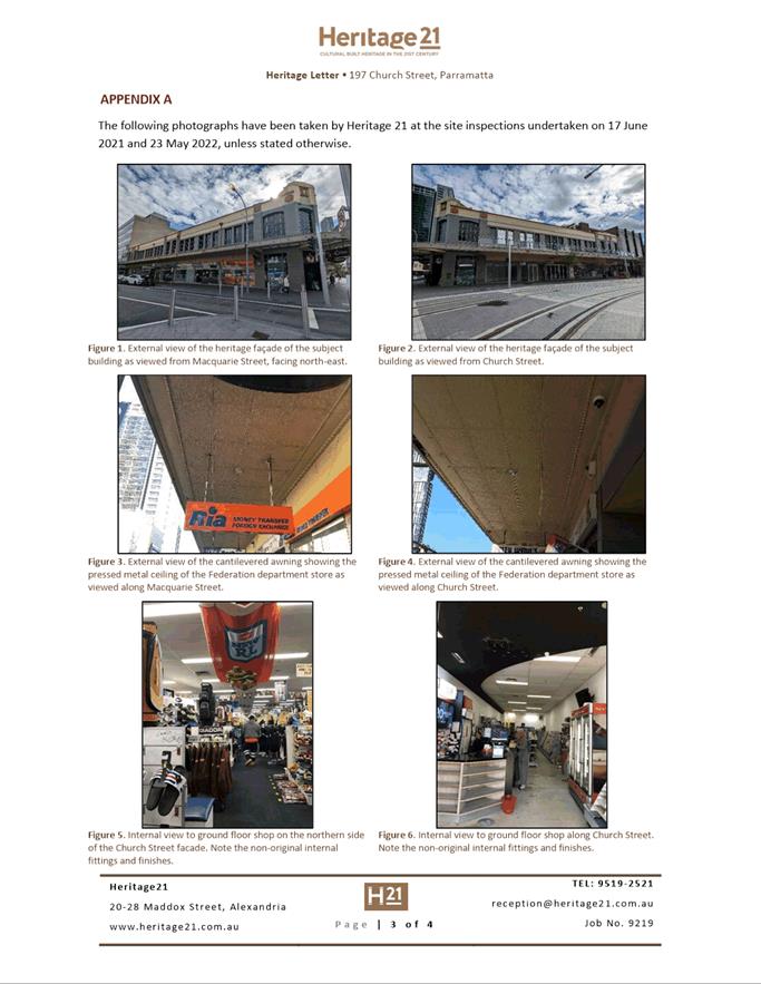
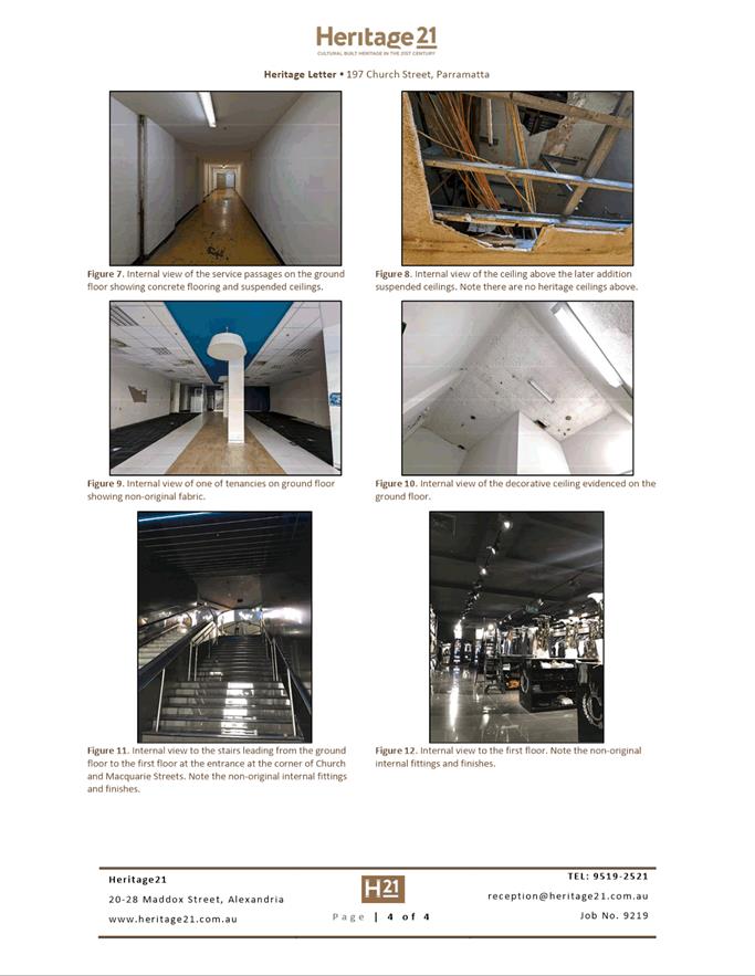
|
Letter from Heritage 21
|
|
Item 5.3 - Attachment 7
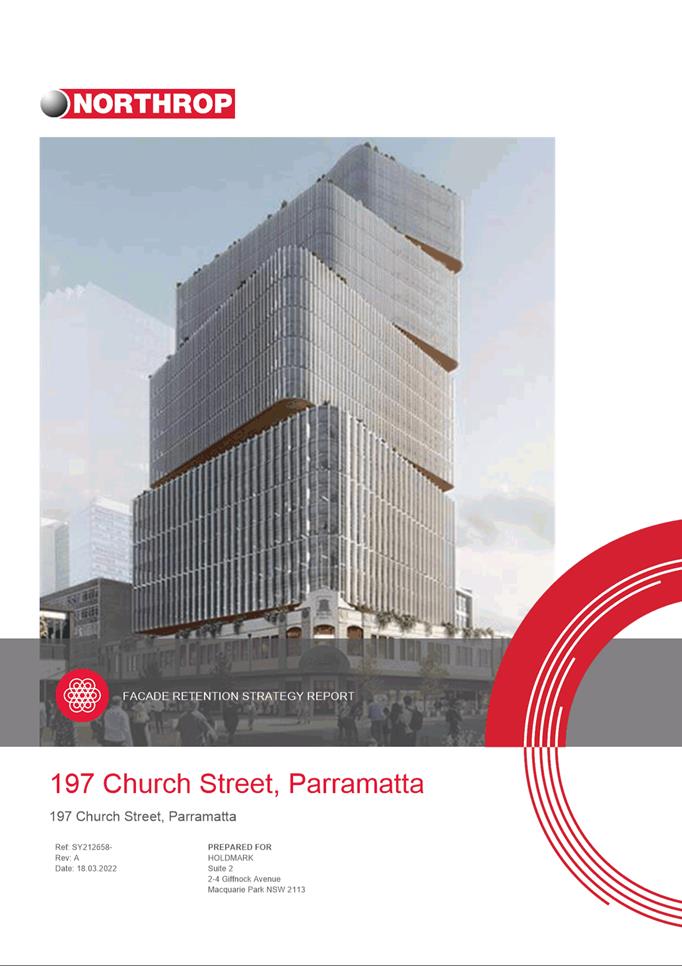
|
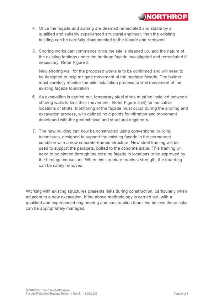
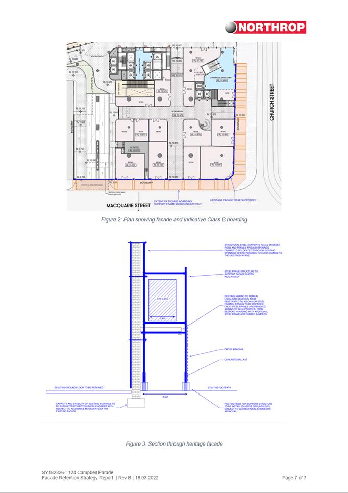
Facade and Awning Retention Strategy Report
|
|
Item 5.3 - Attachment 8
|
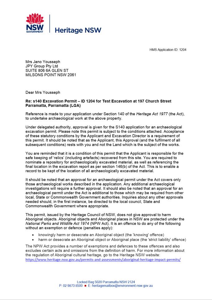
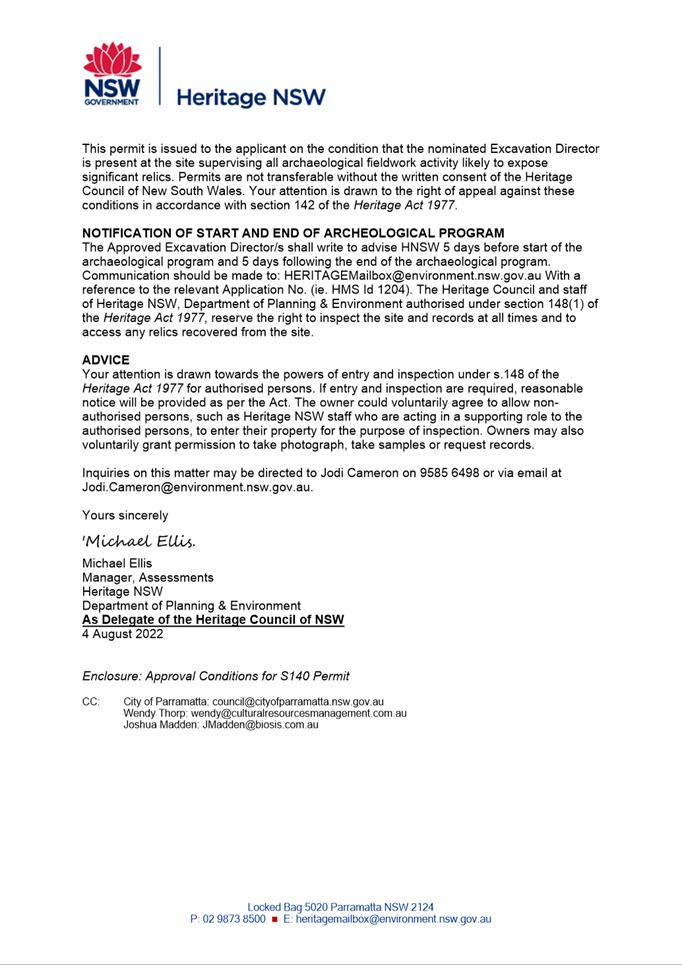
Section 140 permit
|
|
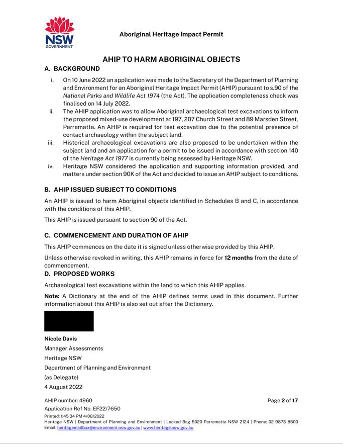
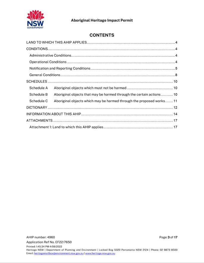
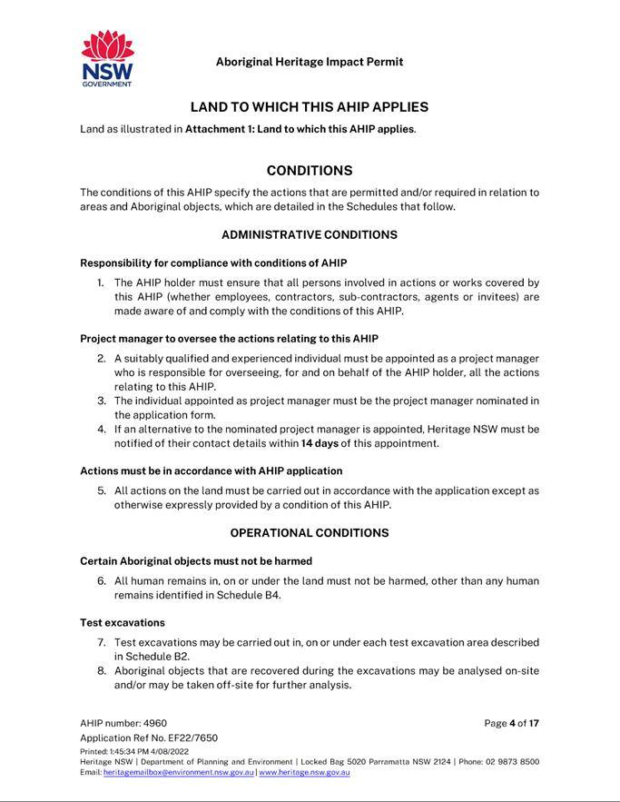
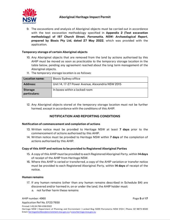
Item 5.3 - Attachment 9
|
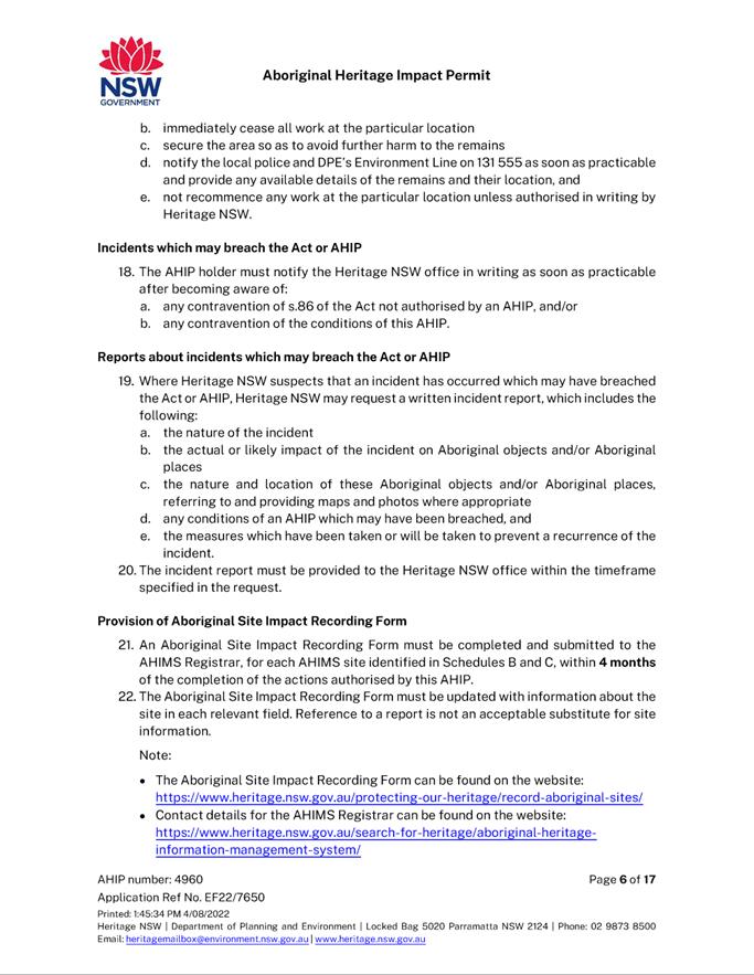
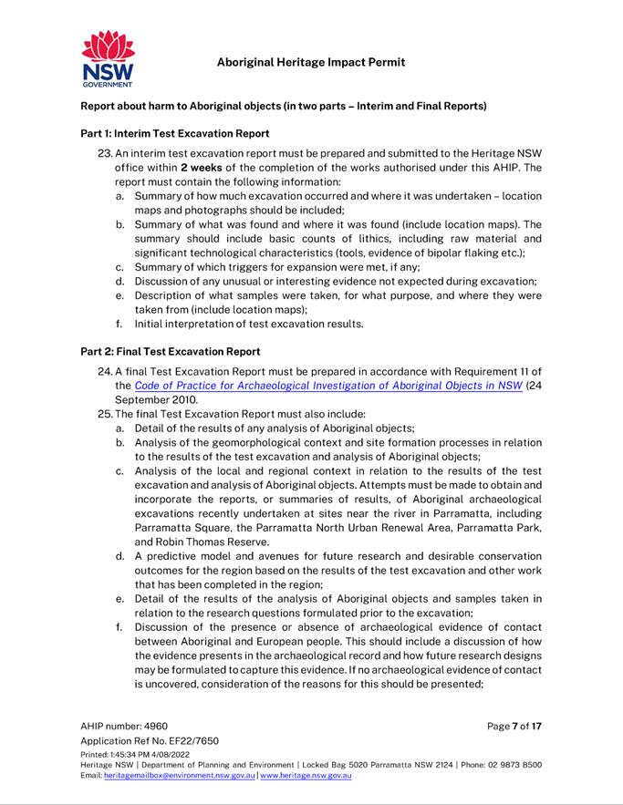
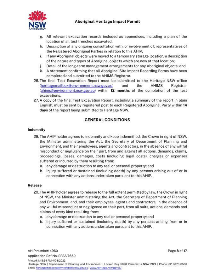
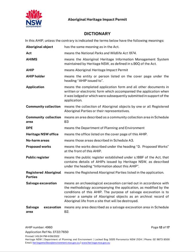
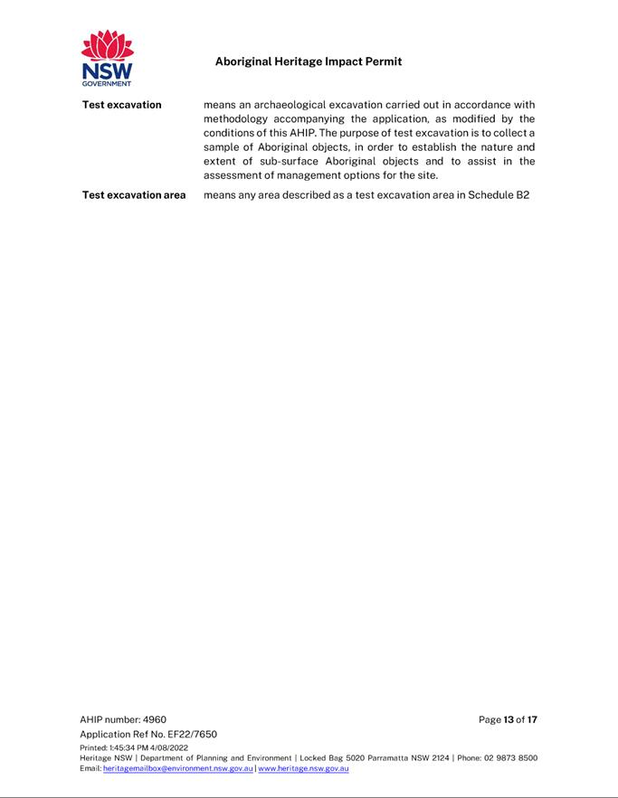
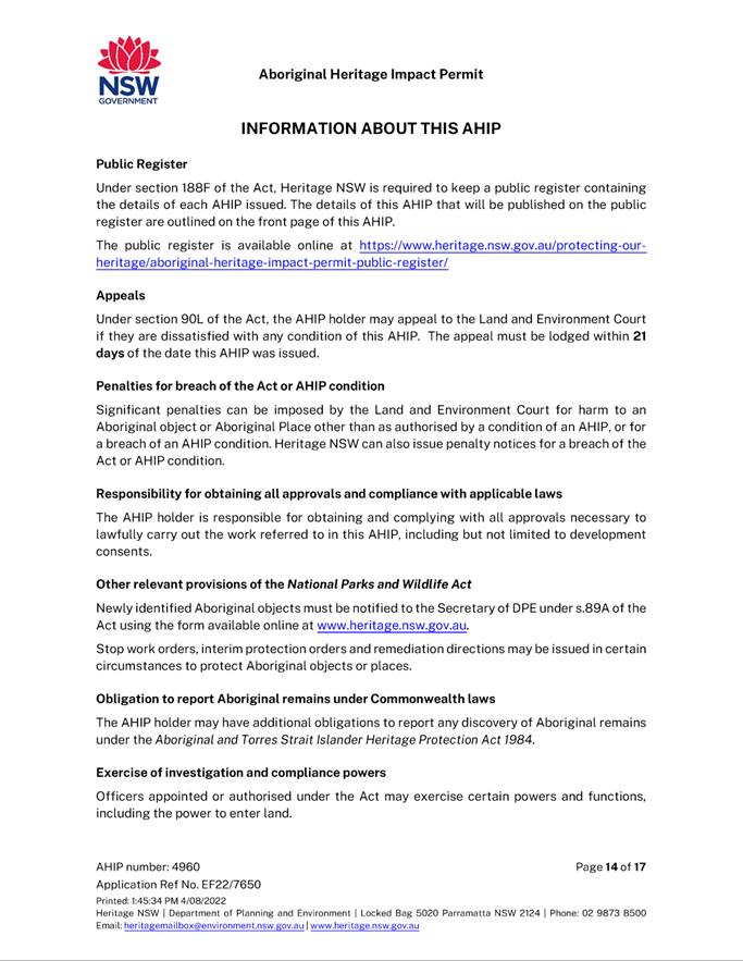
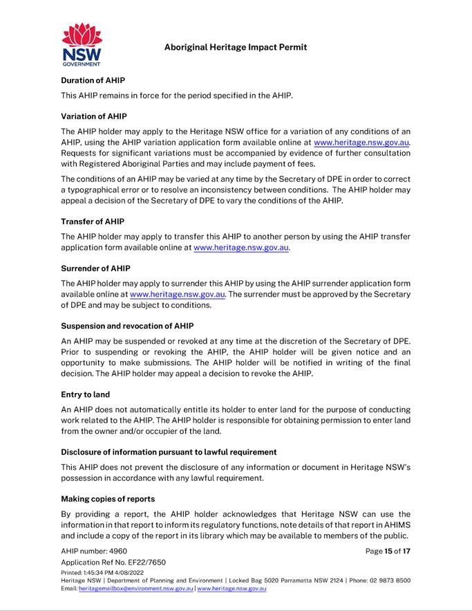
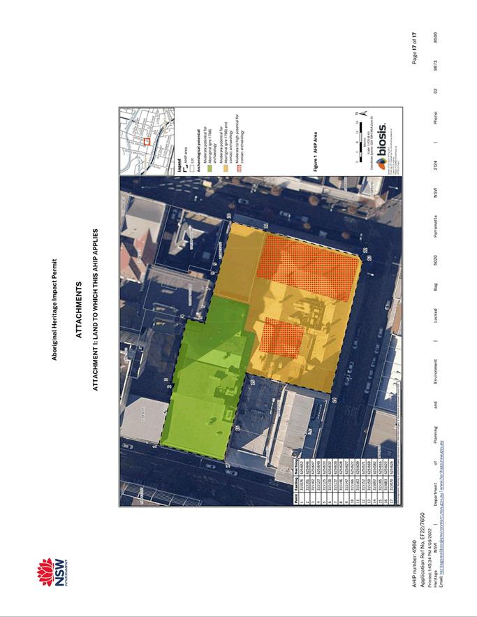
Aboriginal Heritage Impact Permit - Test Excavations
|
|
Item 5.3 - Attachment 10
|
Statement of Environmental Effects (as lodged with
original DA)
|
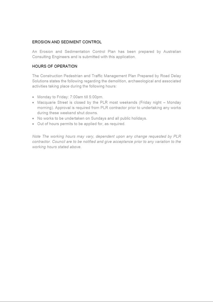
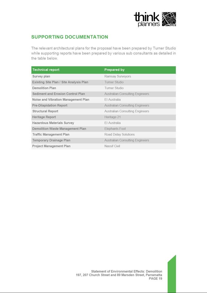
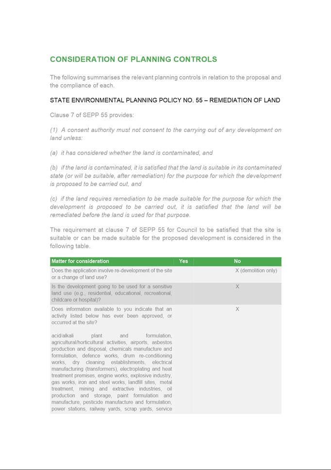
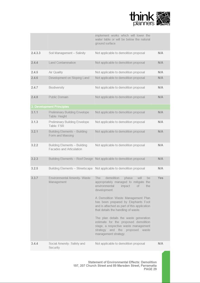
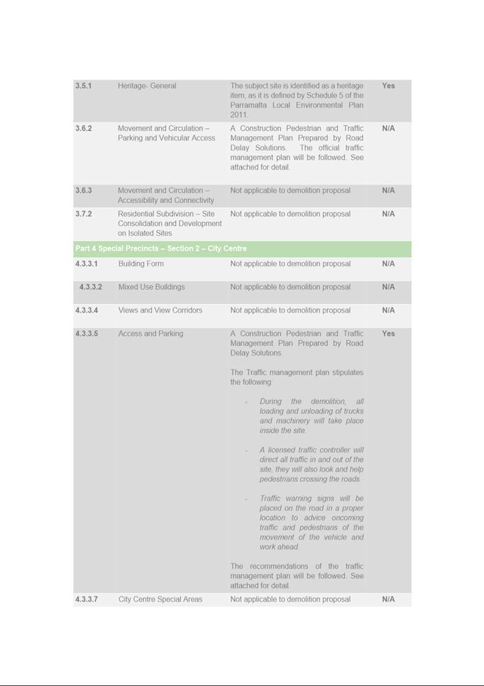
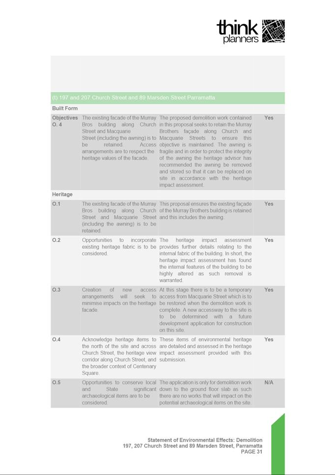
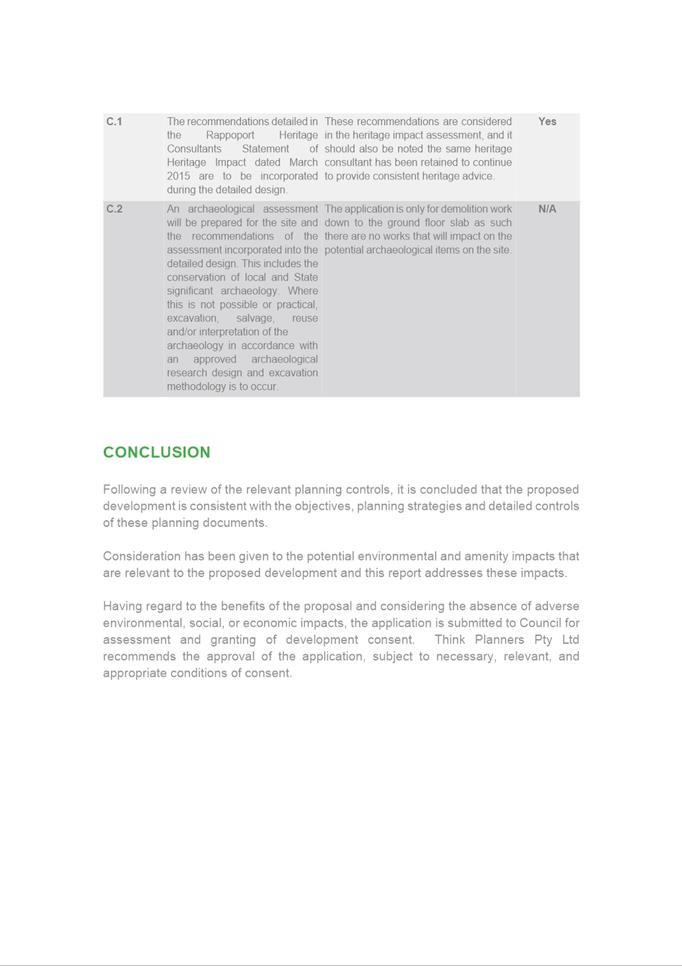
Local
Planning Panel 20 September 2022 Item
5.4
ITEM NUMBER 5.4
SUBJECT OUTSIDE PUBLIC MEETING:
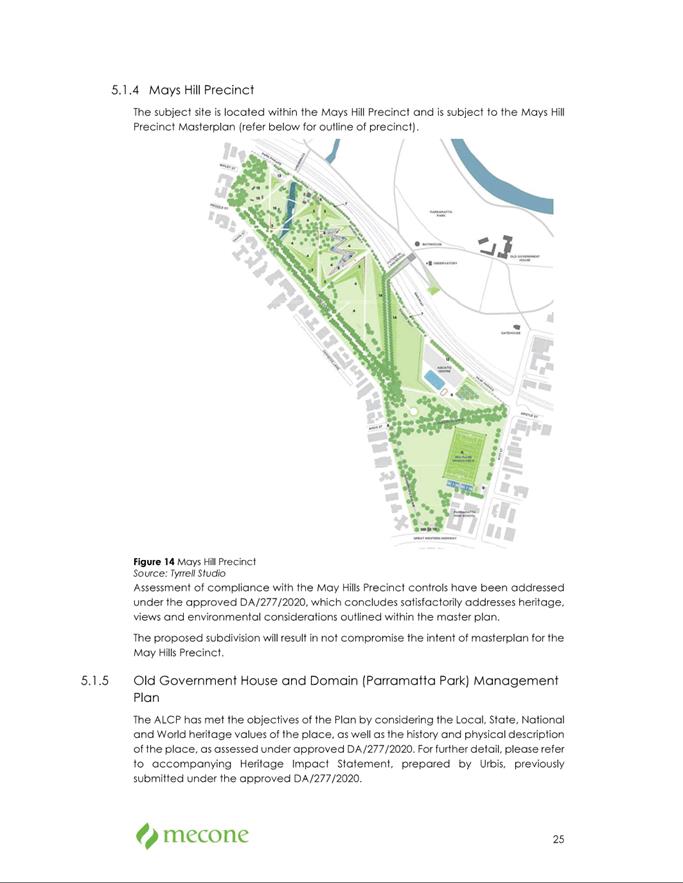
7A Park Parade PARRAMATTA (Lot 1, DP 1244328)
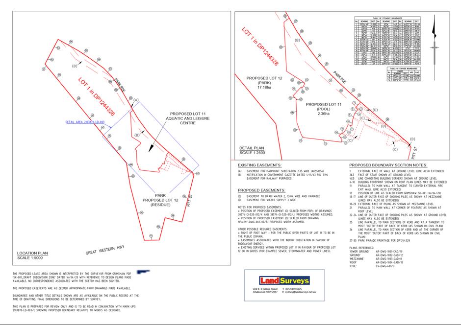
DESCRIPTION Subdivision of one lot into two lots. The proposal is Nominated
Integrated Development under Heritage Act 1977.
REFERENCE DA/348/2022 - D08670972
APPLICANT/S City of Parramatta Council
OWNERS Parramatta Park Trust
REPORT OF Group
Manager Development and Traffic Services
RECOMMENDED Approval
DATE OF REPORT 25 August 2022
REASON FOR
REFERRAL TO LPP
This matter is referred to the Parramatta Local Planning
Panel (PLPP) as the proposal is an application made on behalf of the City of
Parramatta Council.
EXECUTIVE SUMMARY
This is a summary of the full assessment of the application
as outlined in Attachment 1 (Section 4.15 Assessment Report).
The Site
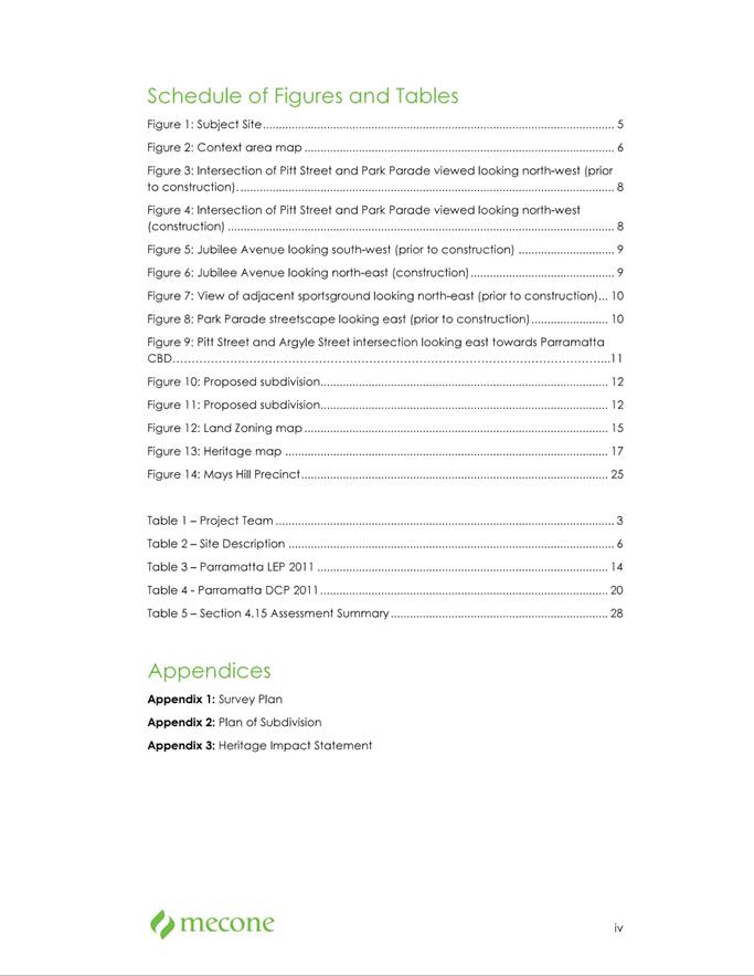
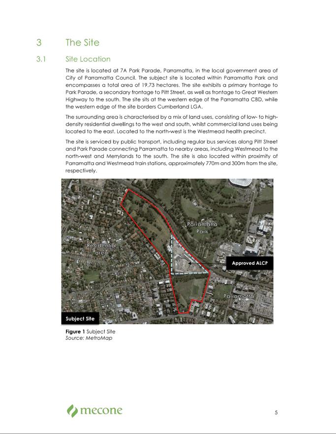
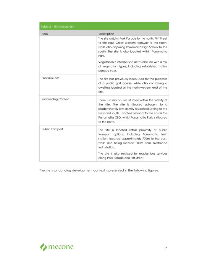
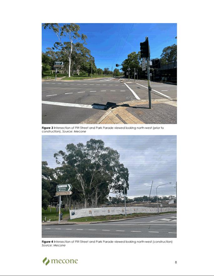
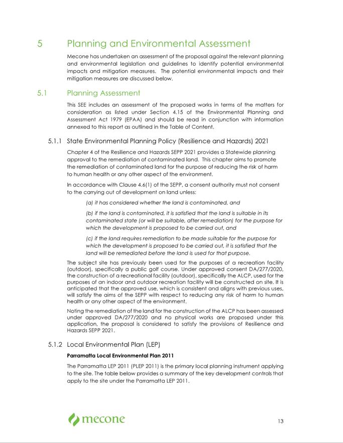
This application relates to the new Parramatta Aquatic
Centre at 7A Park Parade, Parramatta, which is located within Lot 1 Deposited
Plan 1244328.
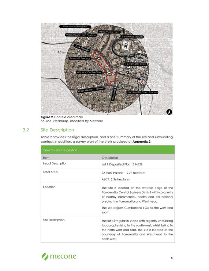
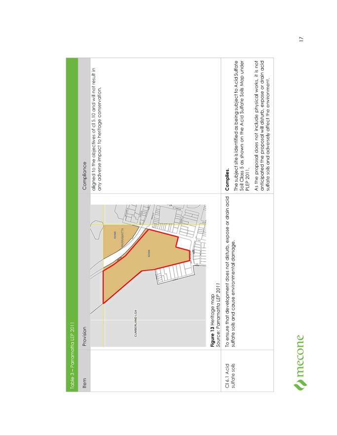
That site is the southern portion of Parramatta Park,
which is separated from the primary part of the Park via the Western Railway
line. It is positioned at the western edge of the Parramatta CBD and borders
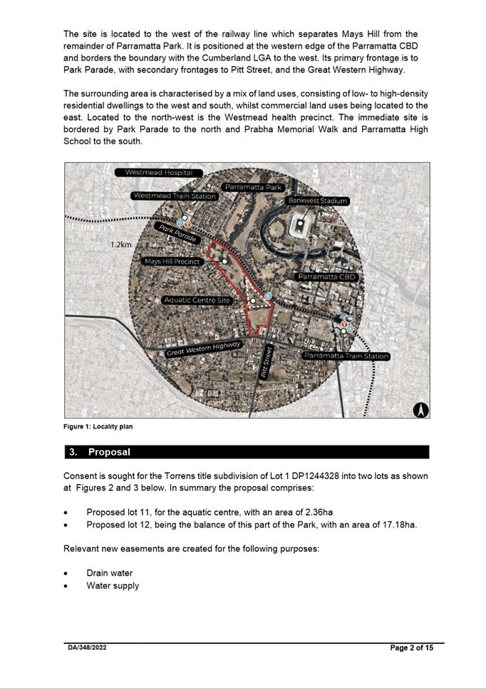
the boundary with the Cumberland LGA. Its primary frontage is to Park Parade,
with secondary frontages to Pitt Street, and the Great Western Highway.
The surrounding area is characterised by a mix of land
uses, consisting of low to high-density residential dwellings to the west and
south, with a mix of residential and commercial uses to the east. To the
north-west is the Westmead health precinct. The immediate site is bordered by
Park Parade to the north and Prabha Memorial Walk and Parramatta High School to
the south.
The Proposal
Lot 1 Deposited Plan 1244328 has an area of 19.73ha and
is owned by the Parramatta Park Trust, of which 2.36ha is to be leased by
Council for the aquatic centre, construction of which is significantly progressed.
Consent
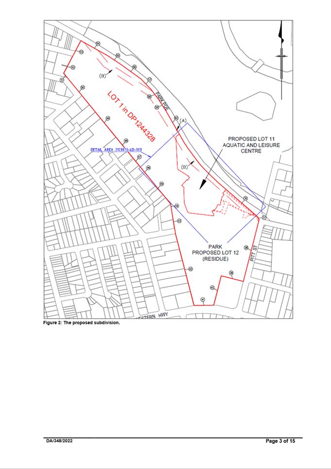
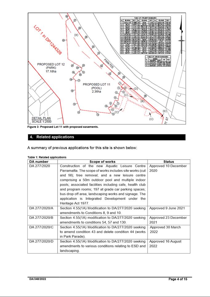
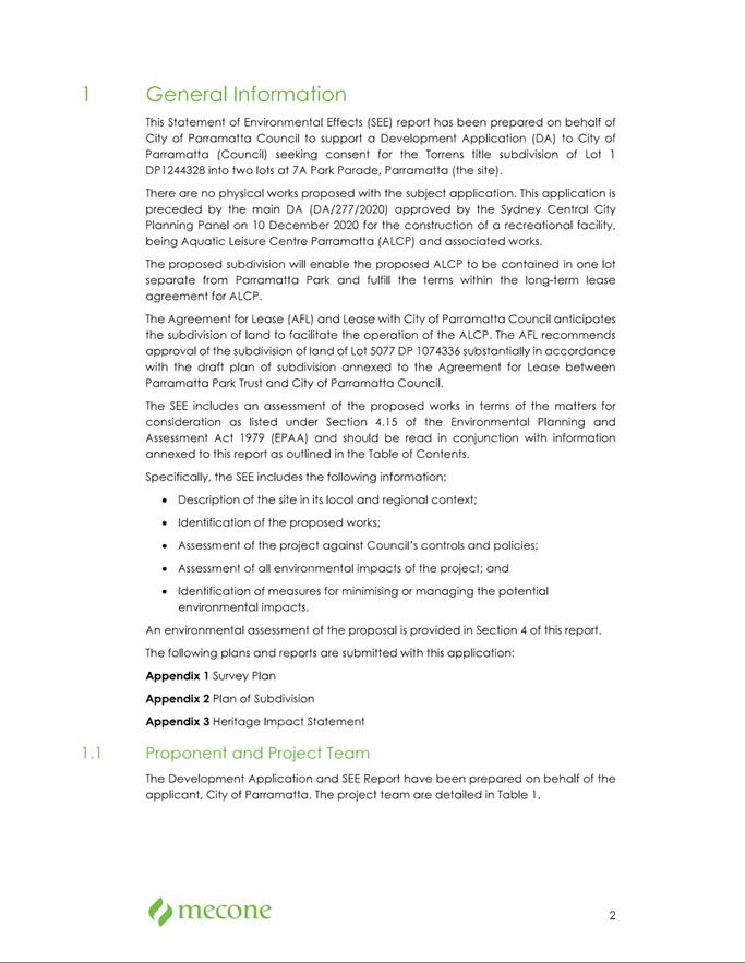
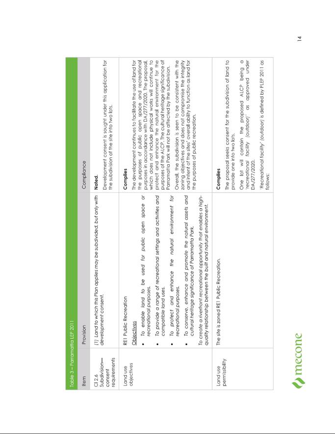
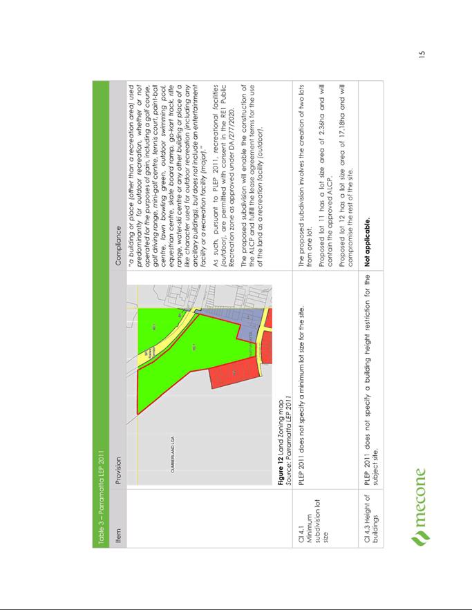
is sought for the Torrens title subdivision of Lot 1 DP1244328 into two lots
being:
·
Proposed lot 11, for
the aquatic centre, with an area of 2.36ha; and
·
Proposed lot 12, being the balance of this part of the Park,
with an area of 17.18ha.
Assessment summary
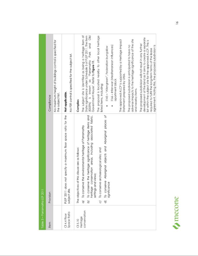
The land is listed as a
heritage item on the State Heritage Register [Item SHR0059] being part of the
‘Parramatta Park and Old Government House and Domain site’. The
application is therefore integrated development under Division 4.8 of the Environment
Planning & Assessment Act 1979 as a related approval is required under
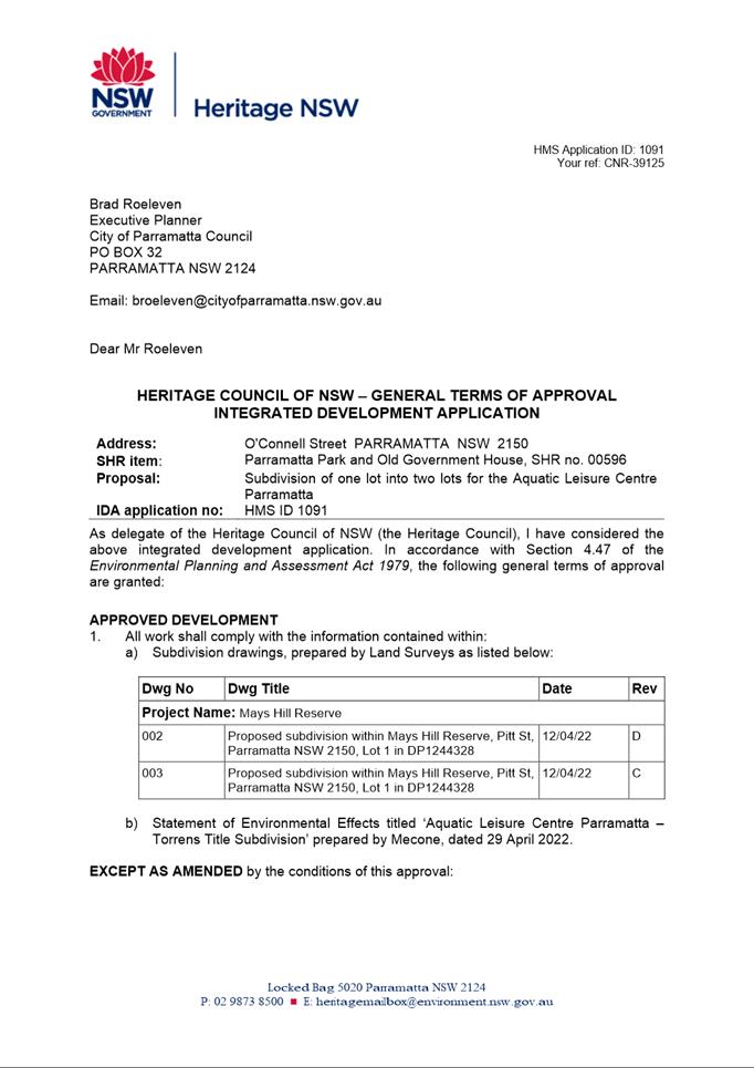
section 60 of the NSW Heritage Act 1977. Council sought and received
General Terms of Approval from Heritage NSW.
The application was also
reviewed by other relevant external agencies, and internal departments of
Council. No objections to the proposal were raised subject to conditions of
consent.
No submissions were received
following notification of the application in accordance with Council’s
procedures.
After consideration of the
development against Section 4.15 of the Environmental
Planning and Assessment Act
1979, and the relevant statutory and policy provisions,
the proposal is suitable for the
site and is in the public interest. The application is
recommended for approval subject
to conditions.
RECOMMENDATION
That the Parramatta Local Planning Panel (PLPP),
exercising the functions of Council, pursuant to Section 4.16 of the Environmental
Planning and Assessment Act 1979, grant development consent to
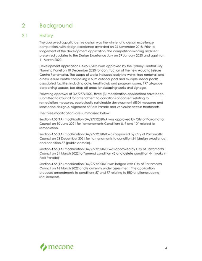
DA/348/2022 for the subdivision Lot
1 Deposited Plan 1244328 into two allotments, subject to the conditions
of consent in Attachment 1.
REASONS FOR APPROVAL
1.
To facilitate the orderly
implementation of the objectives of the Environmental Planning and
Assessment Act 1979 and the aims and objectives of Parramatta Local
Environmental Plan 2011.
2.
The proposal is permissible in
the “RE 1 Public Recreation” zone and is satisfactory when
considered against Section 4.15 of the Environmental Planning and Assessment
Act 1979.
3.
The proposal will be compatible with the planned future use of the
land and allows for the heritage values the site to be retained.
4.
Approval of the application is in
the public interest.
Brad Roeleven
Executive Planner
Sarah Irani
Team Leader Development Support
Attachments:
|
1⇩ 
|
Assessment Report and draft conditions
|
15 Pages
|
|
|
2⇩ 
|
Locality plan
|
1 Page
|
|
|
3⇩ 
|
Plan of Subdivision
|
1 Page
|
|
|
4⇩ 
|
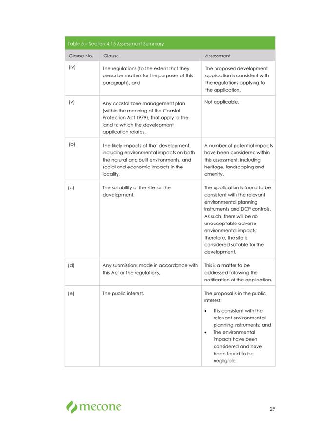
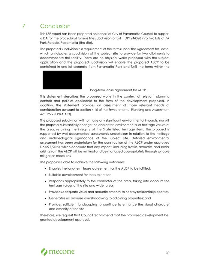
Statement of Environmental Effects
|
34 Pages
|
|
|
5⇩ 
|
HNSW General Terms of Approval
|
2 Pages
|
|
REFERENCE MATERIAL
|
Item 5.4 - Attachment
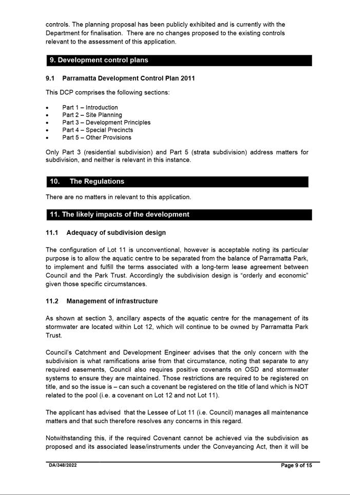
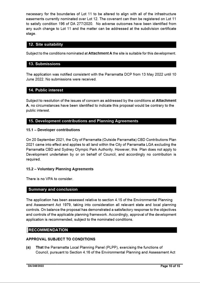
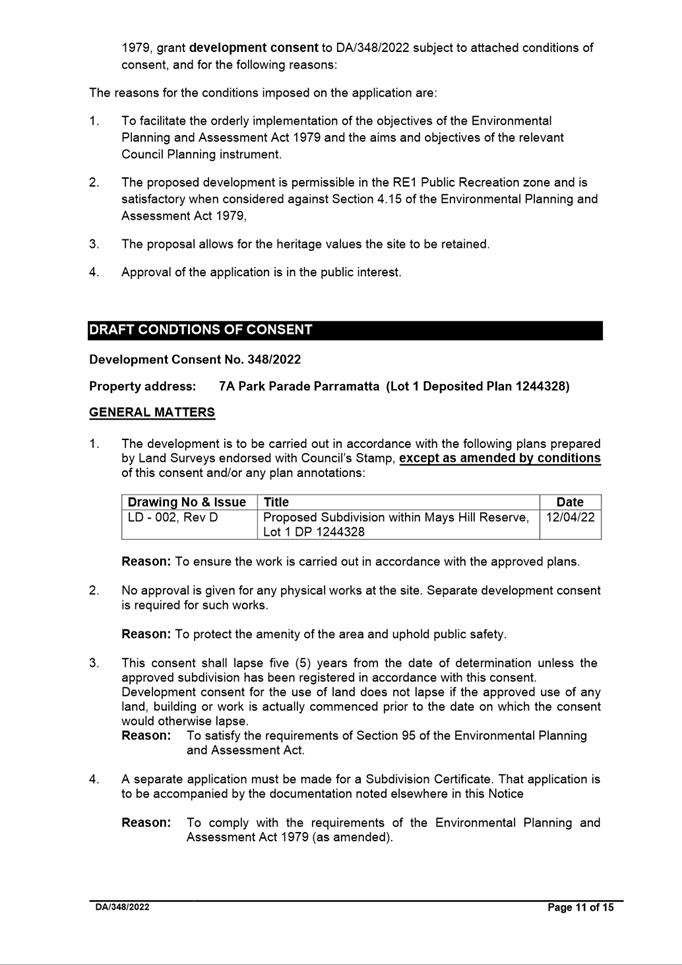
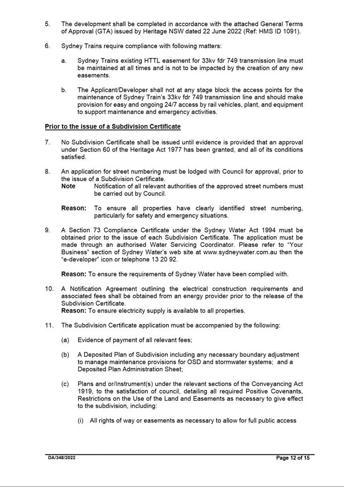
1
|
Assessment Report and draft conditions
|
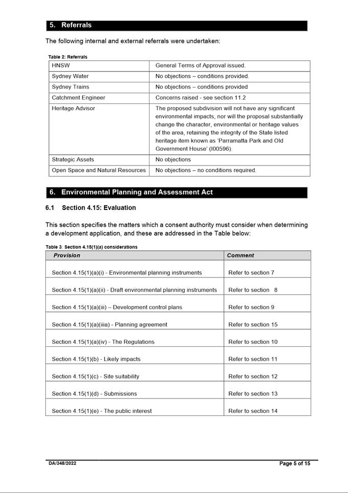
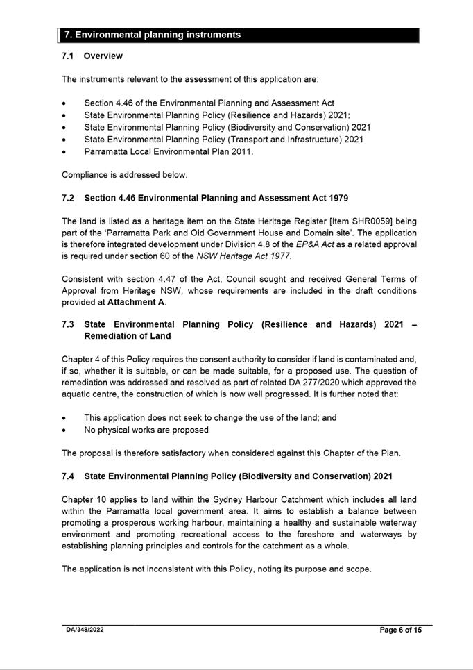
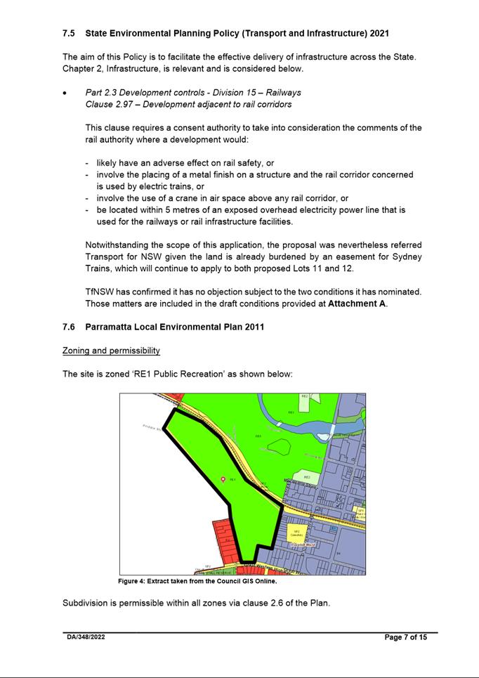
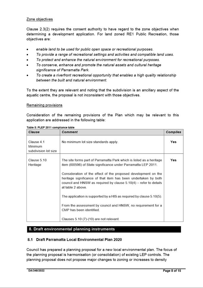
|
Item 5.4 - Attachment 2
|
Locality plan
|
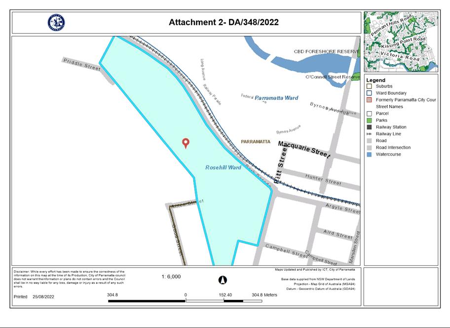
|
Item 5.4 - Attachment
3
|
Plan of Subdivision
|
|
Item 5.4 - Attachment
4
|
Statement of Environmental Effects
|
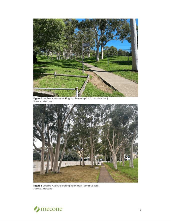
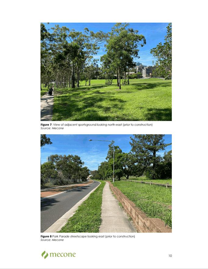
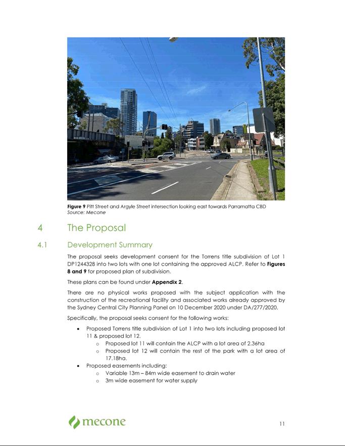
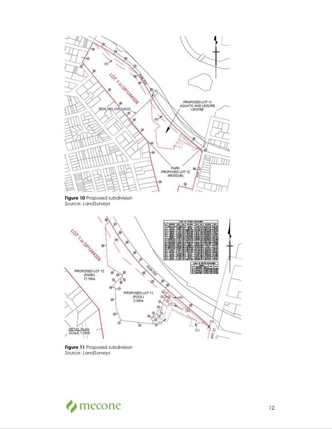
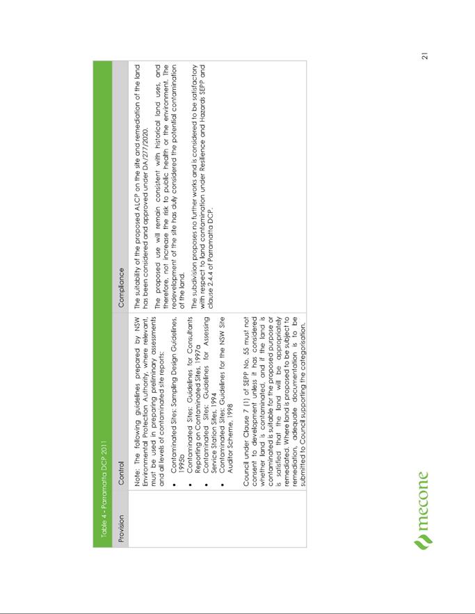
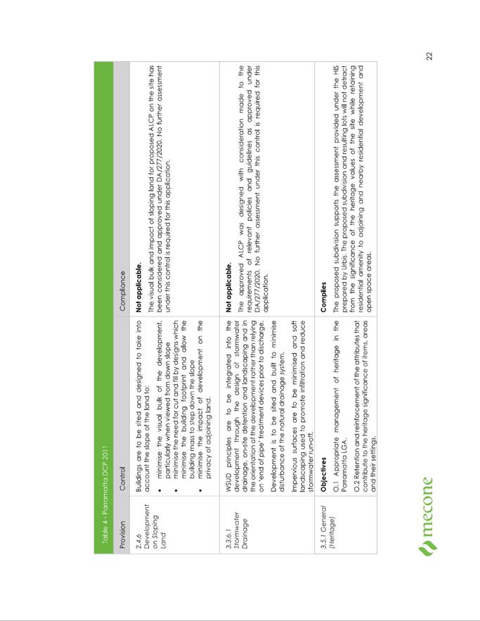
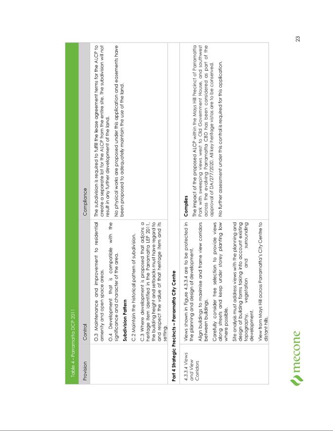
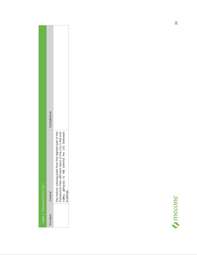
|
Item 5.4 - Attachment 5
|
HNSW General Terms of Approval
|
Local
Planning Panel 20 September 2022 Item
5.5
ITEM NUMBER 5.5
SUBJECT OUTSIDE PUBLIC MEETING:
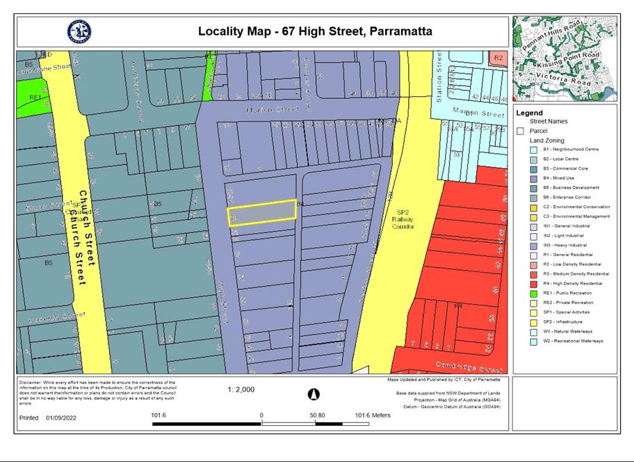
67 High Street, PARRAMATTA (LOT B DP 421597)
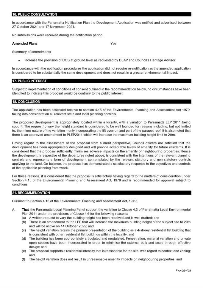
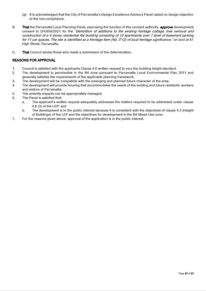
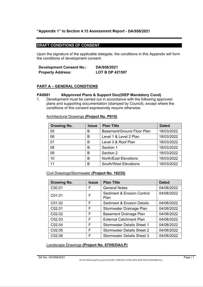
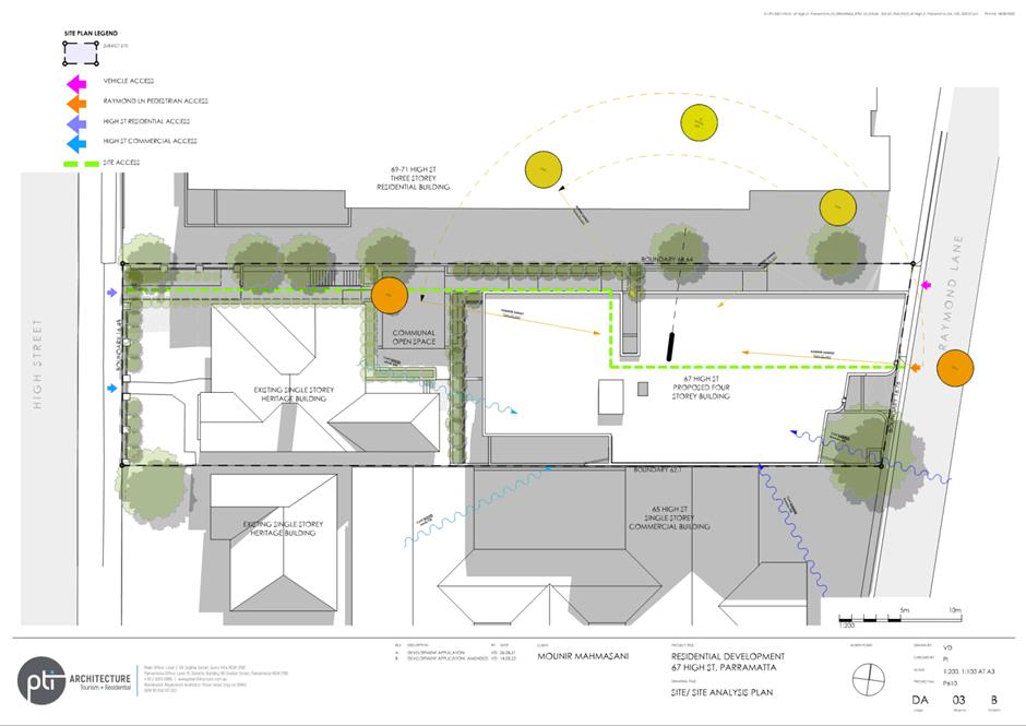
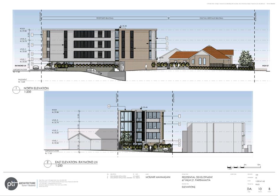
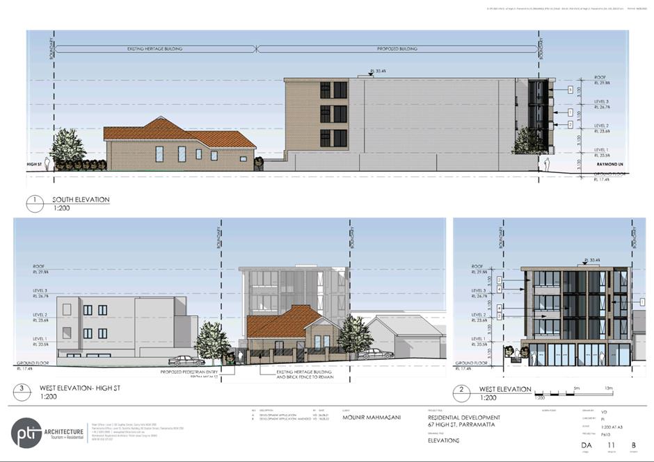
DESCRIPTION Demolition of additions to the existing heritage cottage, tree
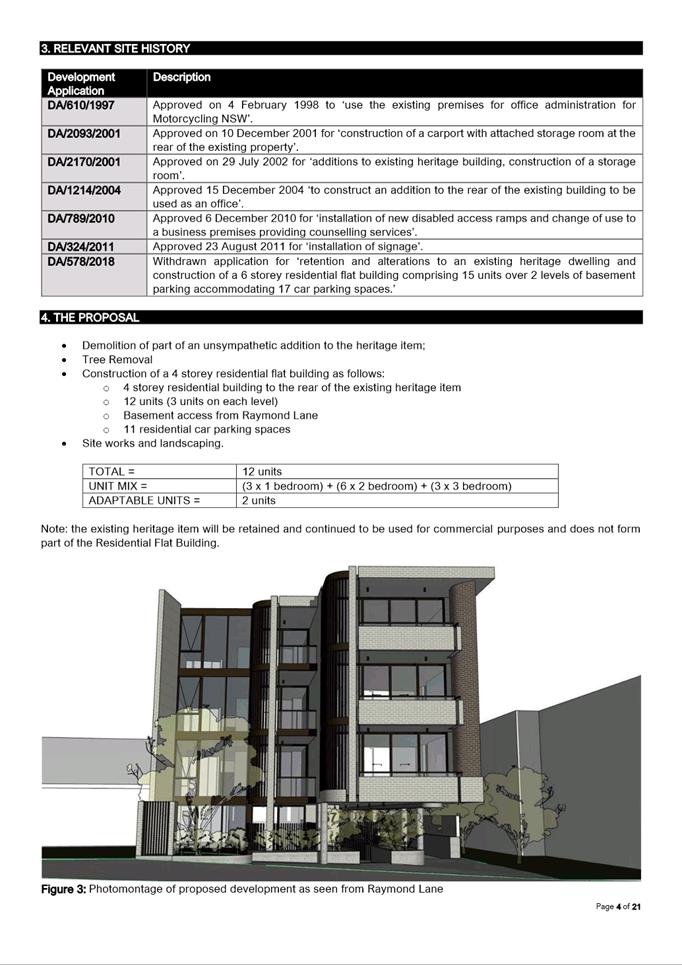
removal and construction of a 4 storey residential flat building consisting of
12 apartments over 1 level of basement parking for 11 car spaces. The site is
identified as a Heritage Item (No. I712) of local heritage significance.
REFERENCE DA/958/2021 - D08670763
APPLICANT/S Mr P Israel
OWNERS M Mahmasani & L Chatila
REPORT OF Group
Manager Development and Traffic Services
RECOMMENDED Approval
DATE OF REPORT 1 September 2022
REASON FOR
REFERRAL TO LPP
The proposed development is referred to Parramatta Local
Planning Panel because it is greater than 4 storeys and is subject to the
provisions of SEPP65.
EXECUTIVE SUMMARY
Development Application DA/958/2021 was lodged on 15 October
2021 for;
‘Demolition of additions
to the existing heritage cottage, tree removal and construction of a 4 storey
residential flat building consisting of 12 apartments over 1 level of basement
parking for 11 car spaces. The site is identified as a Heritage Item (No. I712)
of local heritage significance’.
In accordance
with the Consolidated Parramatta Notification Plan the Development Application
was notified and advertised on 27 October 2021 to 17 November 2021. No
submissions were received during the notification period.
The proposal seeks to demolish unsympathetic additions to an
existing heritage item, whilst retaining the original fabric. The use of the
heritage item will continue to be operated as a commercial premises, in
accordance with the existing approval.
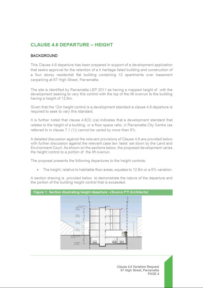
The proposal also seeks a minor variation to the 12m
building height development standard prescribed under Clause 4.3 of PLEP2011.
The proposal seeks a maximum height of 12.6m and equates to a 5% variation.
In accordance
with the Environmental Planning and Assessment Act 1979, Section 9.1
– Directions by the Minister, this application is reported to the
Parramatta Local Planning Panel for determination as the proposed
development is greater than 3-storeys and is subject to the provisions of
SEPP65.
Section
4.15 Assessment Summary
The
application has been assessed relative to section 4.15 of the Environmental
Planning and Assessment Act 1979, taking into consideration all relevant
state and local planning controls.
The
proposed demolition of the unsympathetic additions to the heritage item is
supported, as it will revert the heritage item to its original fabric.
This proposed variation to the building height development
standard was also assessed and considered to be well founded given the minor
nature of the variation, as well as the desired future character of the area to
have higher built form, culminating in an amendment to the building height
standard for the subject site to 20m.
The
application was referred to a number of internal and external stakeholders for
comment including the following:
·
Sydney Water;
·
Endeavour Energy;
·
Traffic Engineer;
·
Development Engineer;
·
Landscape Officer;
·
Heritage Advisor;
·
Environmental Health;
and
·
Design Excellence
Advisory Panel.
No
objections to the overall development were received. Conditions of consent have
been imposed where necessary.
RECOMMENDATION
(a)
That, the Parramatta Local Planning Panel support the
variation to Clause 4.3 of Parramatta Local Environmental Plan 2011 under
the provisions of Clause 4.6 for the following reasons:
1.
A written request to
vary the building height has been received and is well drafted;
2.
There is an amendment
to the LEP that will increase the maximum building height of the subject site
to 20m and will be active on 14 October 2022;
3.
The height variation retains
the primary presentation of the building as a 4-storey residential flat
building that is consistent with other residential flat buildings within the
locality;
4.
The building has been
appropriately articulated and modulated. Fenestration, material variation and
private open spaces have been incorporated in order to minimise the external
bulk and scale through effective design;
5.
The proposal supports a
residential intensity that is reasonable for the site, with regard to context
and zoning;
6.
The height variation
does not result in unreasonable amenity impacts on neighbouring properties; and
7.
It is acknowledged that
the City of Parramatta’s Design Excellence Advisory Panel raised no design objection to the non-compliance.
(b)
Further, that the Parramatta Local Planning Panel, exercising the
functions of Council, pursuant to Section 4.15 of the Environmental Planning
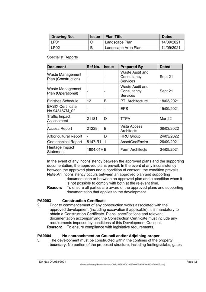
and Assessment Act 1979, grant development consent to DA/958/2021, subject
to the conditions of consent in Attachment 1.
REASONS FOR APPROVAL
1.
Council is satisfied
with the applicants Clause 4.6 written request to vary the building height
standard.
2.
The development is permissible in
the B4 zone pursuant to Parramatta Local Environmental Plan 2011 and generally
satisfies the requirements of the applicable planning framework.
3.
The development will be compatible
with the emerging and planned future character of the area.
4.
The development will provide
housing that accommodates the needs of the existing and future residents,
workers and visitors of Parramatta.
5.
The amenity impacts can be
appropriately managed.
6.
The Panel is satisfied that:
a.
The applicant’s written request
adequately addresses the matters required to be addressed under clause 4.6 (3)
of the LEP; and
b.
The development is in the public interest
because it is consistent with the objectives of clause 4.3 (Height of
Buildings) of the LEP and the objectives for development in the B4 Mixed
Use zone.
7.
For the reasons given above,
approval of the application is in the public interest.
Darren Wan
Senior Development Assessment Officer
Sarah Irani
Team Leader Development Support
Attachments:
|
1⇩ 
|
Assessment Report and Draft conditions
|
55 Pages
|
|
|
2⇩ 
|
Locality Map
|
1 Page
|
|
|
3⇩ 
|
plans used for assessment
|
3 Pages
|
|
|
4
|
internal plans used for assessment
(confidential)
|
5 Pages
|
|
|
5⇩ 
|
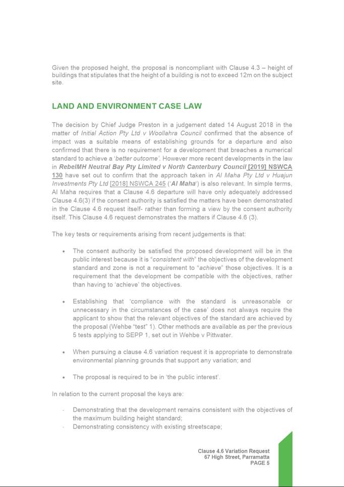
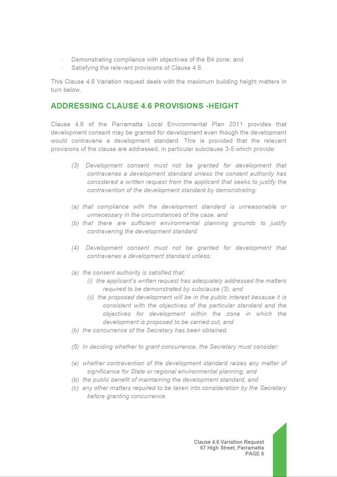
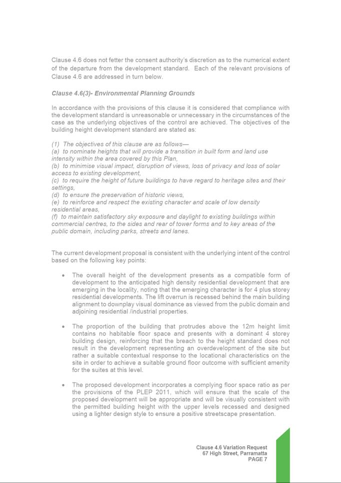
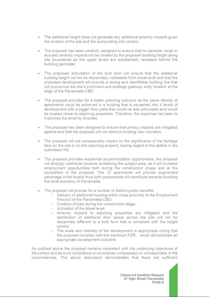
Clause 4.6 Height - 67 High Street
Parramatta
|
10 Pages
|
|
REFERENCE MATERIAL
|
Item 5.5 - Attachment
1
|
Assessment Report and Draft conditions
|
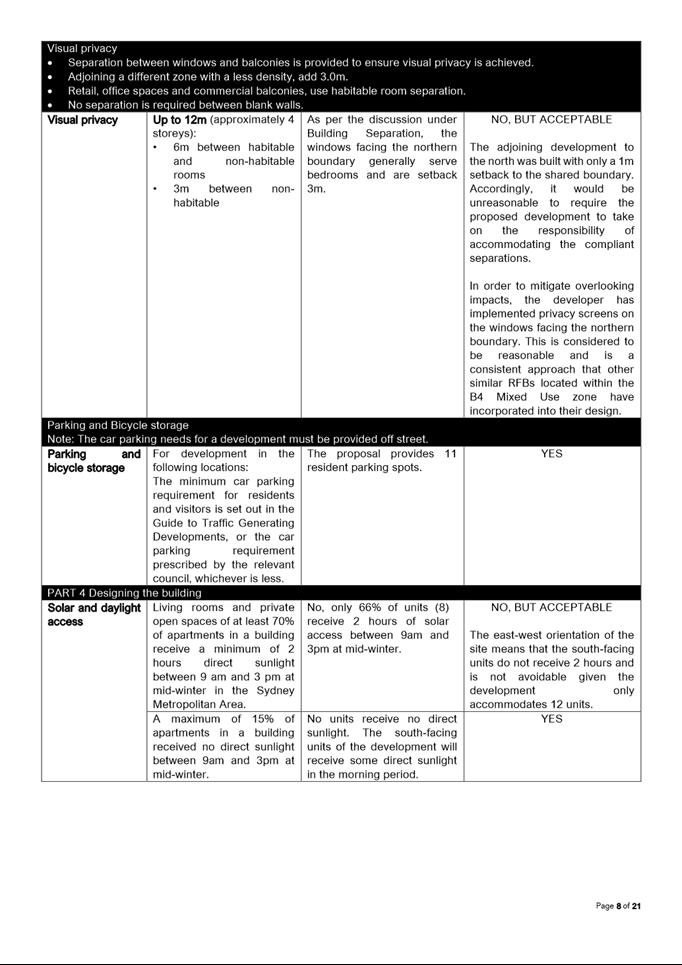
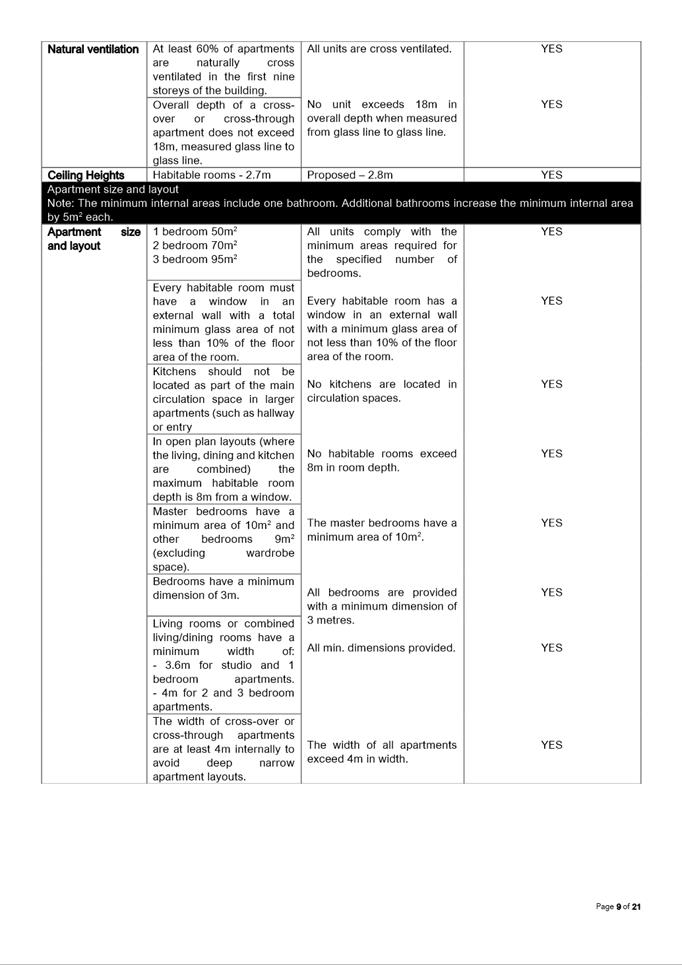
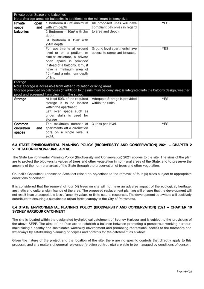
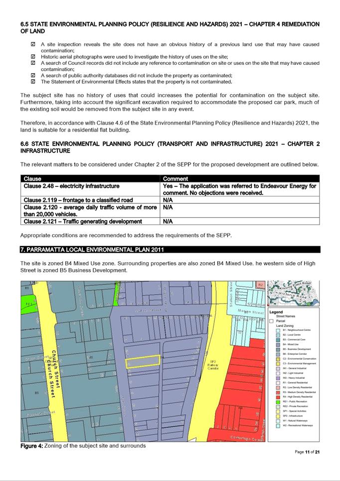
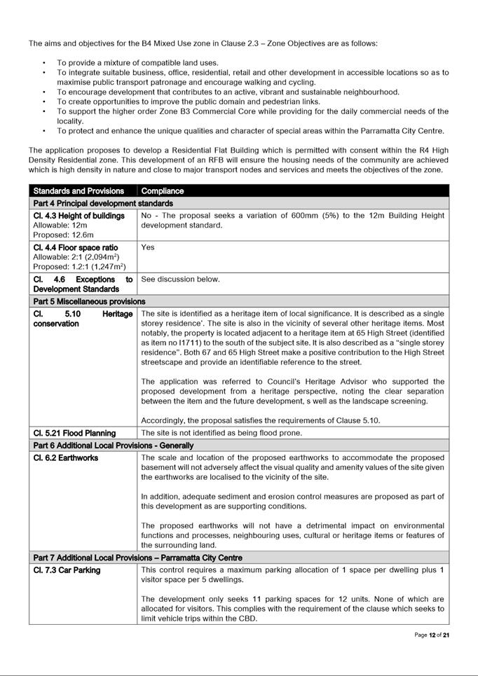
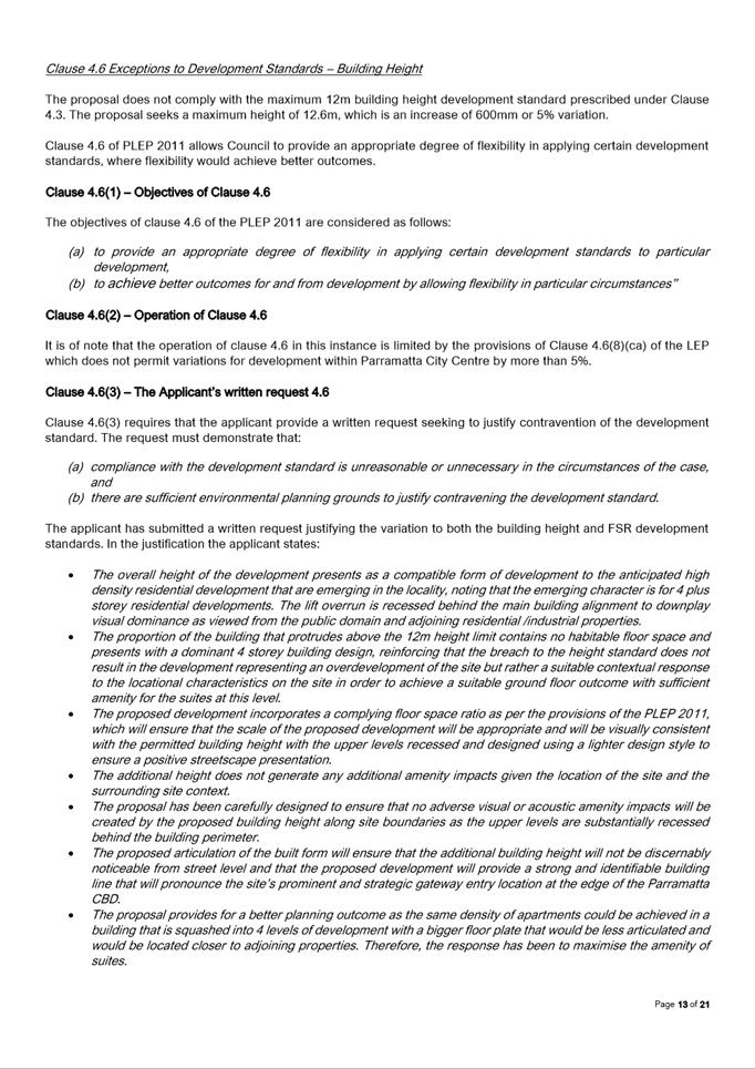
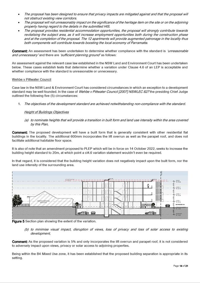
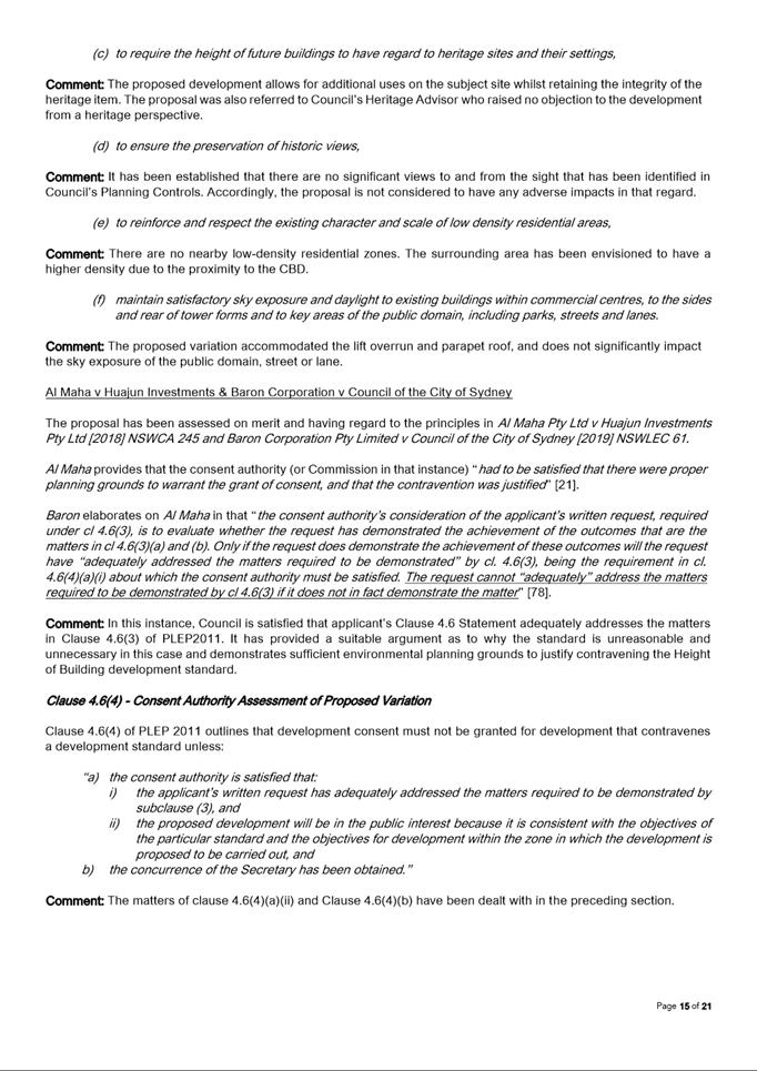
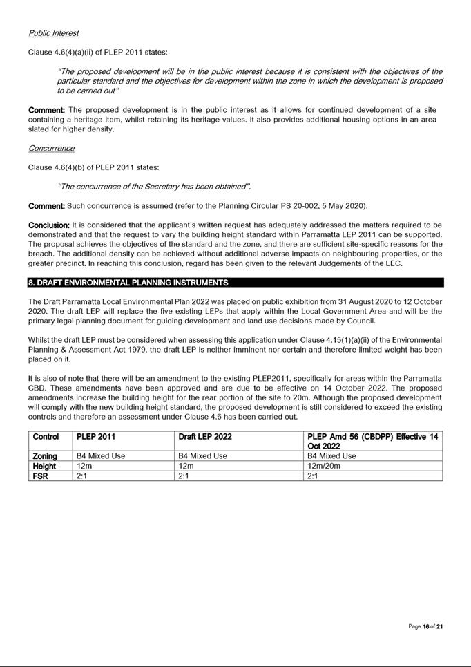
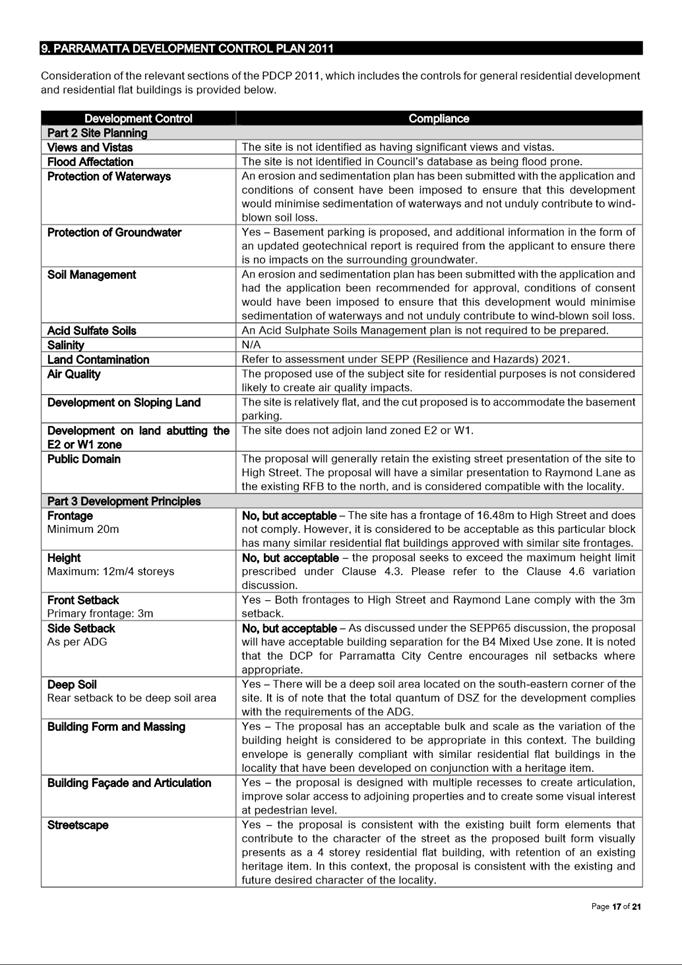
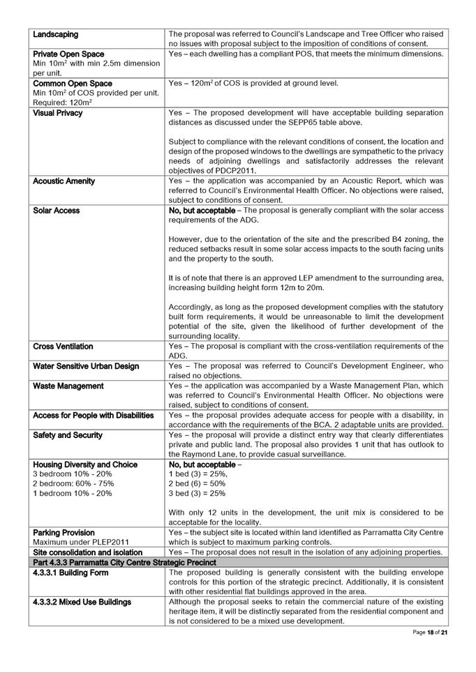
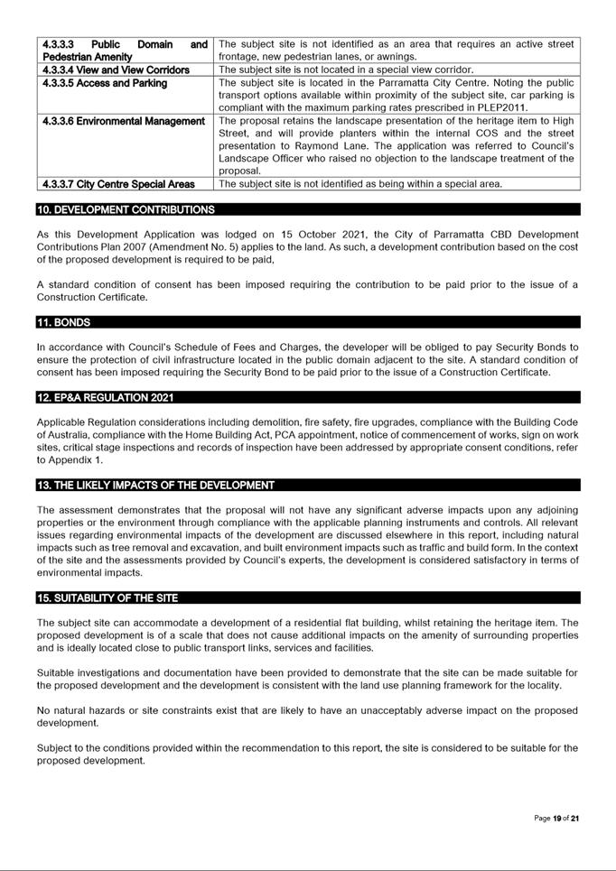
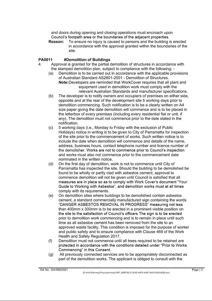
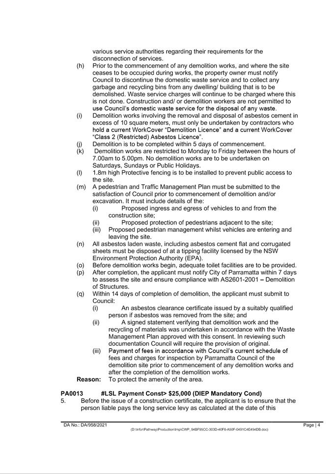
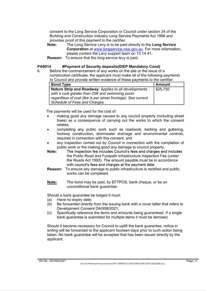
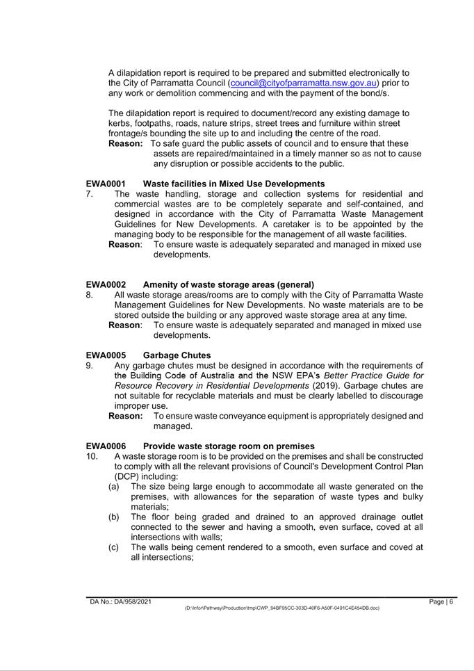
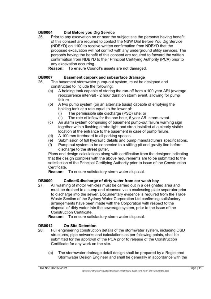
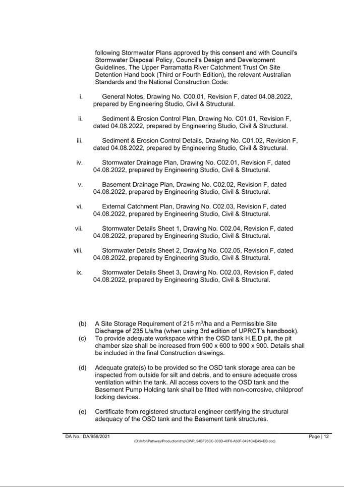
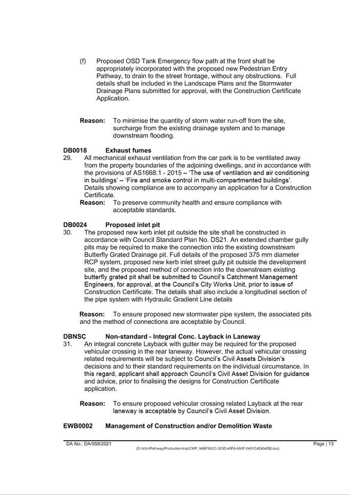
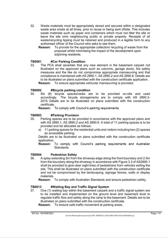
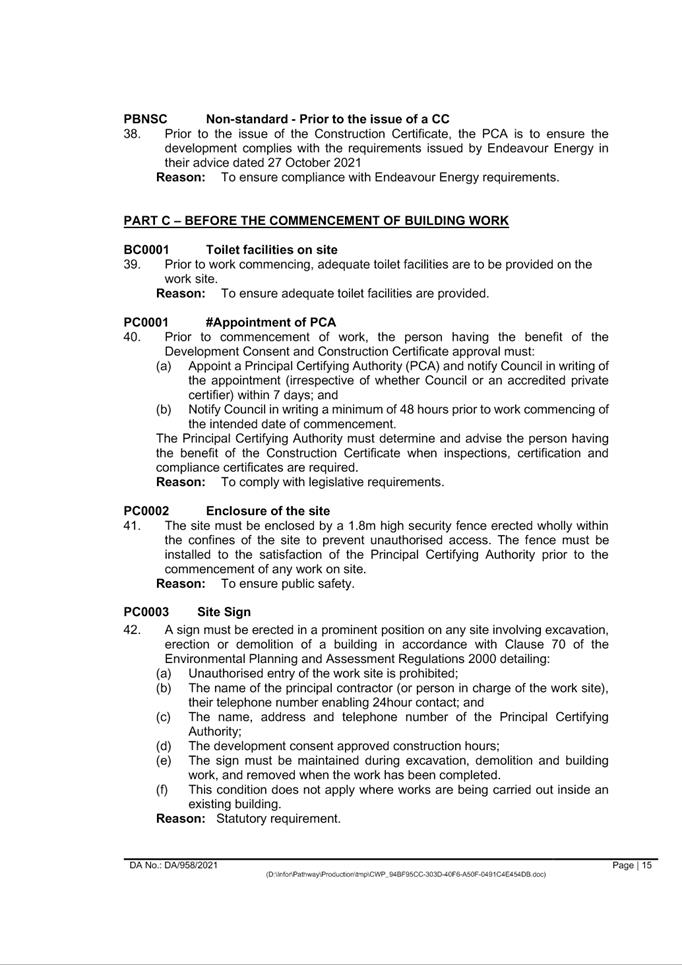
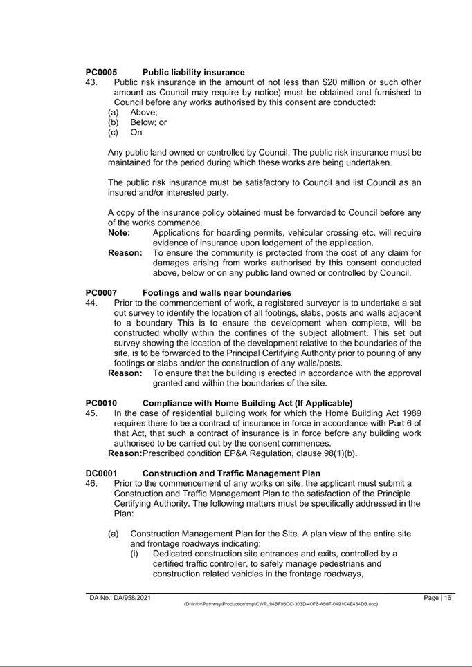
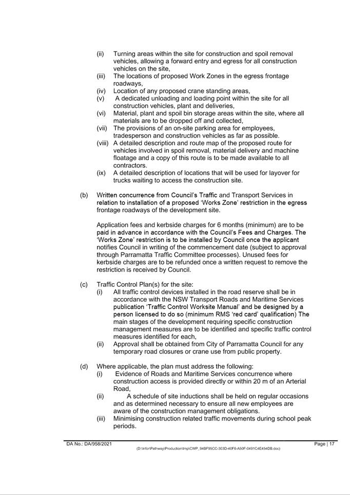
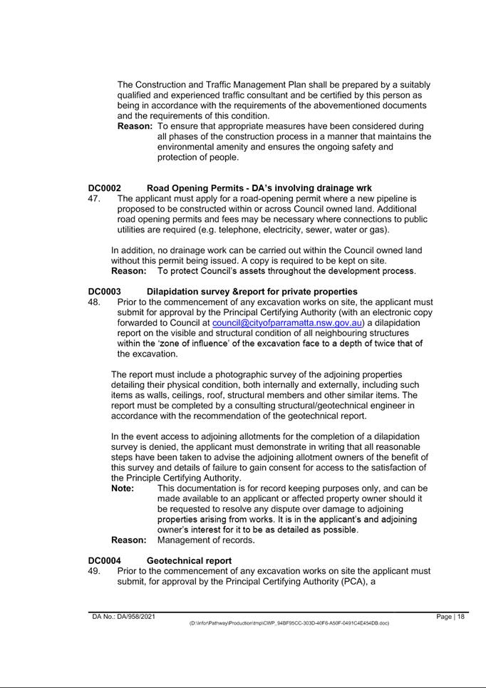
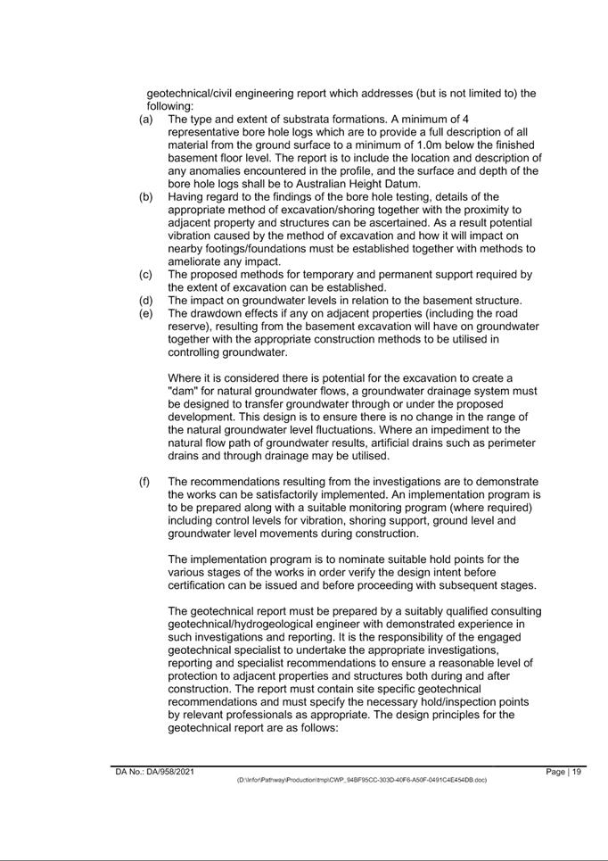
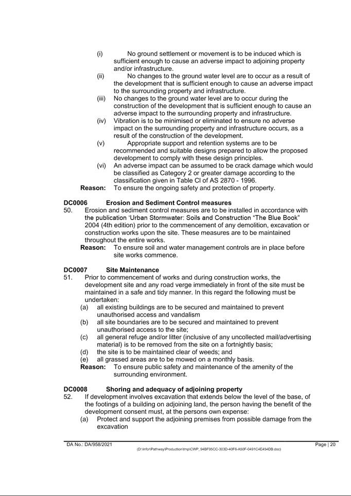
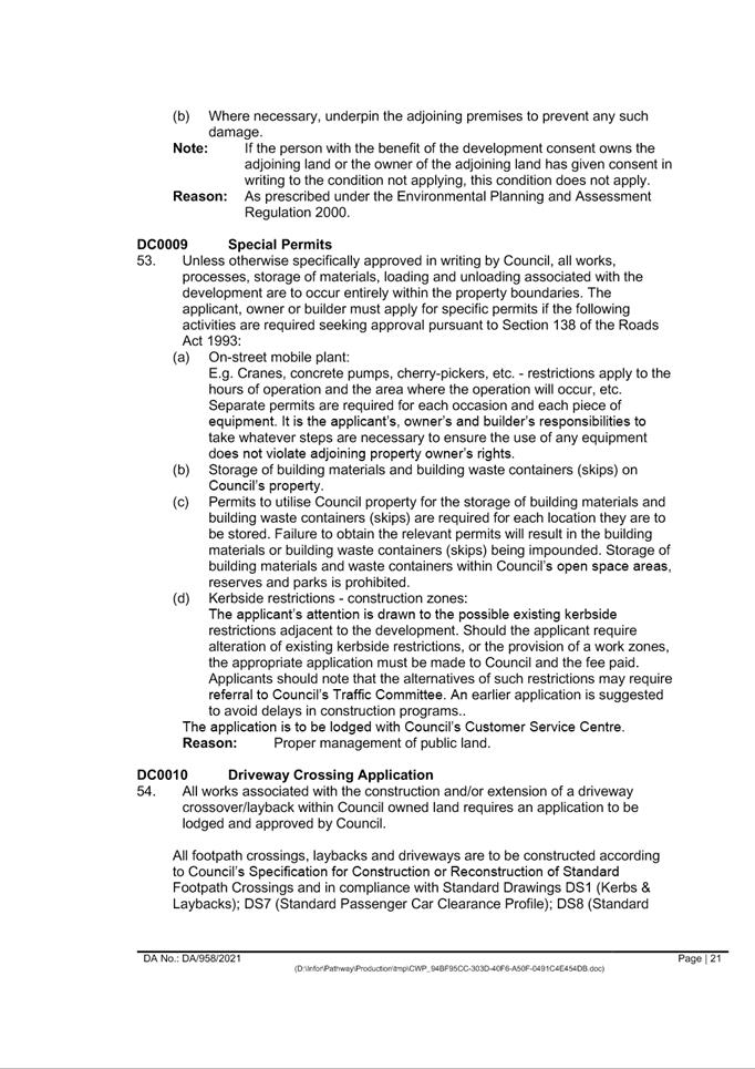
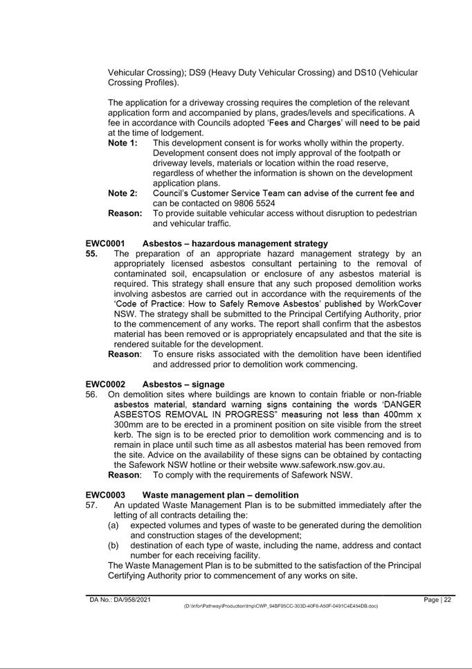
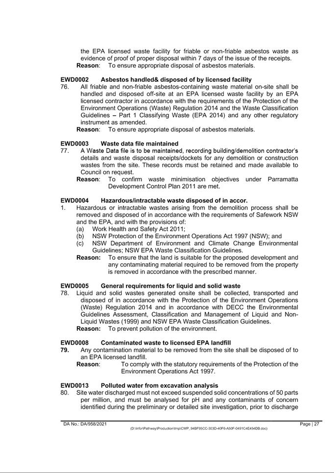
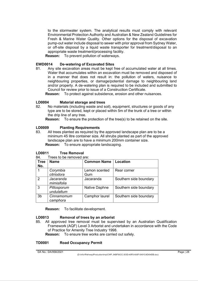
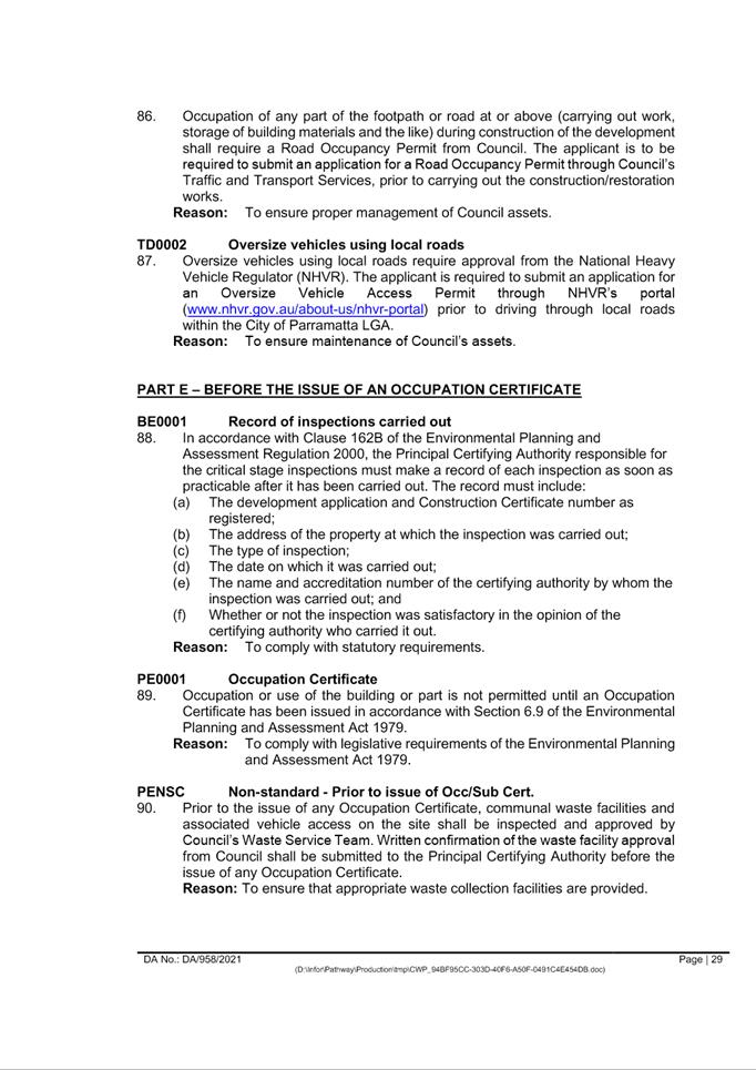
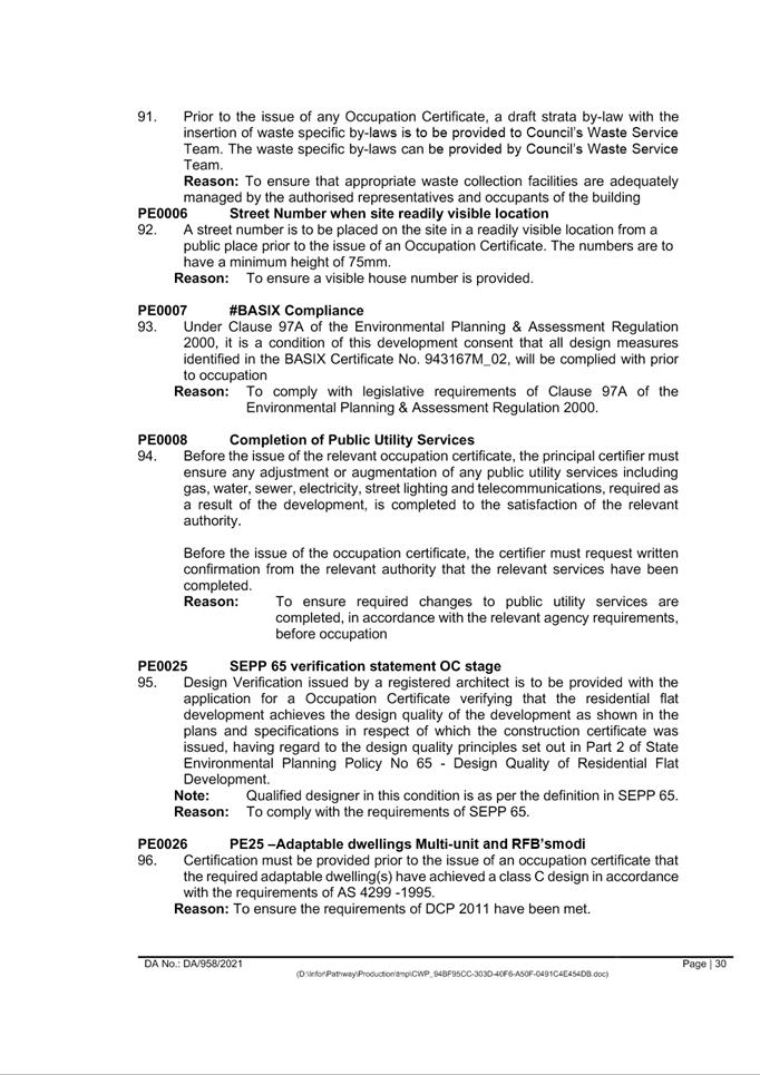
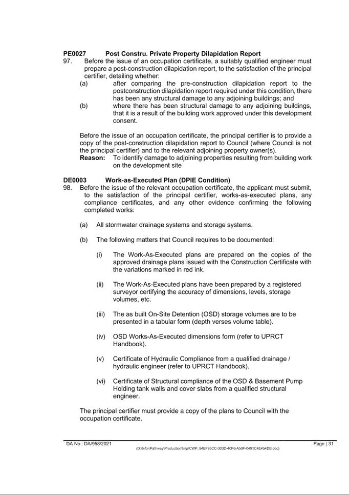
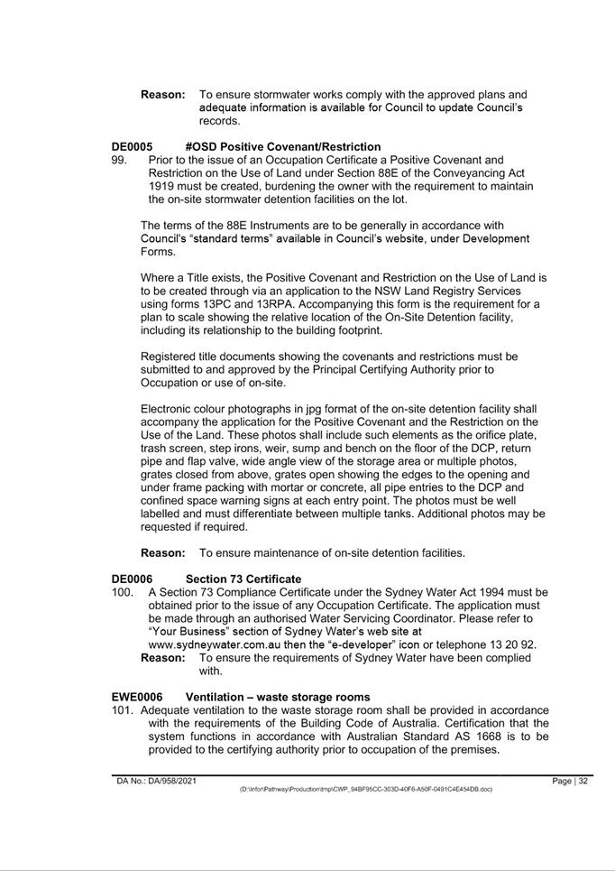
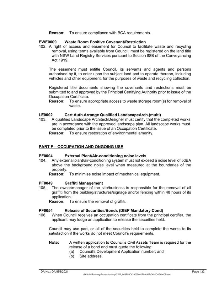
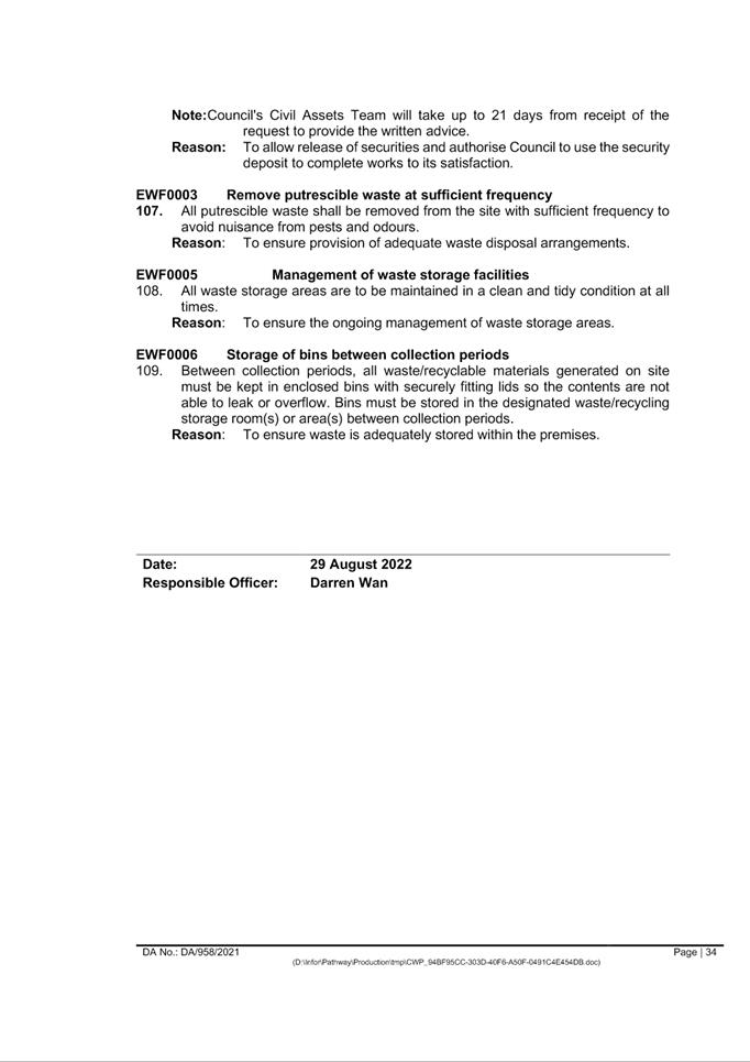
|
Item 5.5 - Attachment 2
|
Locality Map
|
|
Item 5.5 - Attachment
3
|
plans used for assessment
|
|
Item 5.5 - Attachment 5
|
Clause 4.6 Height - 67 High Street Parramatta
|
Planning Proposals
20 September 2022
6.1 Refusal
of the Planning Proposal for land at 169 Pennant Hills Road, Carlingford........................................................................................................................ 1002
Local Planning Panel 20 September 2022 Item
6.1
ITEM NUMBER 6.1
SUBJECT Refusal of the Planning Proposal for land
at 169 Pennant Hills Road, Carlingford
REFERENCE RZ/3/2022 -
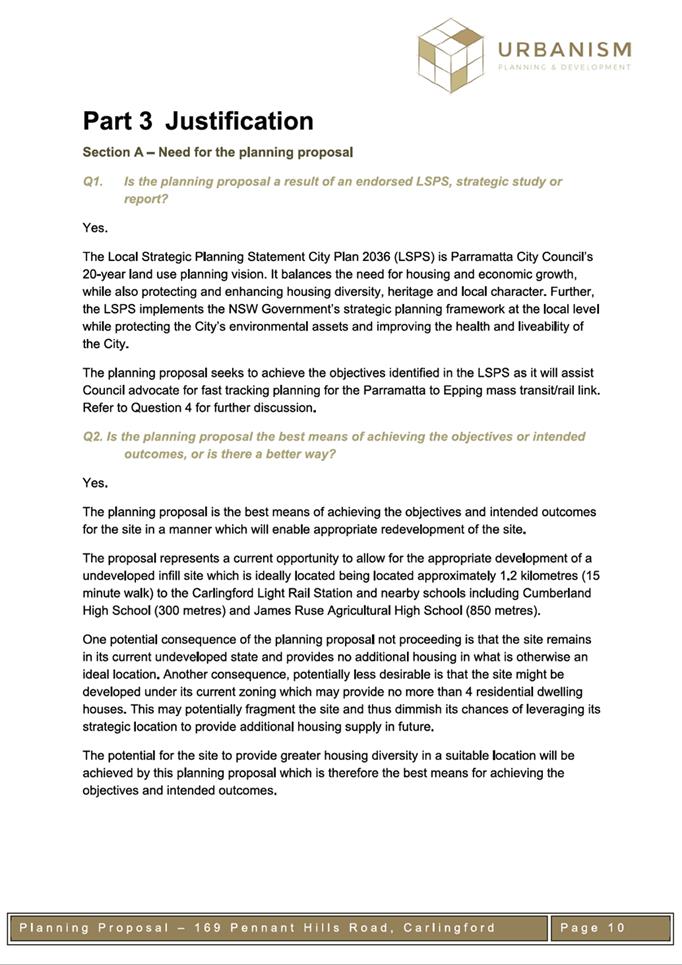
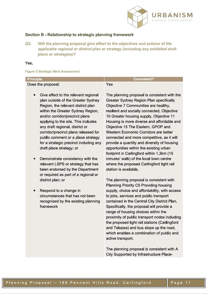
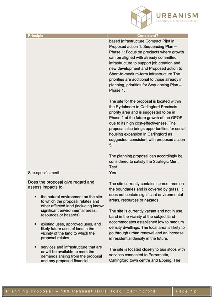
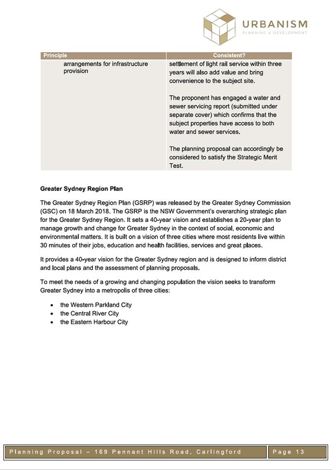
APPLICANT/S Urbanism Pty Ltd
OWNERS Mr Lorenzo Biordi
REPORT OF Team Leader Land Use Planning
Development
applications considered by Sydney central city planning panel Nil
PURPOSE
The purpose of this report is to seek the Parramatta Local
Planning Panel’s advice to Council on a recommendation to refuse a
Planning Proposal for land at 169 Pennant Hills Road, Carlingford.
RECOMMENDATION
The
Parramatta Local Planning Panel consider the following Council Officer
recommendation in its advice to Council:
(a) That
Council refuse the Planning Proposal at 169 Pennant Hills Road, Carlingford for
the following reasons:
i.
The Planning Proposal is inconsistent with the Local Strategic Planning
Statement as the site is not within the identified Carlingford Growth Precinct
and the form of development proposed is incompatible with the low density
character of the area.
ii.
The Planning Proposal is inconsistent with the Local Housing Strategy as
intensification of development along the Parramatta CBD to Epping Corridor is
not required to meet existing housing targets.
iii.
The Planning Proposal is premature given that the investigation into the
potential Epping to Parramatta Mass Transit/Train Link has not yet commenced
and the likely timeframe for new housing delivery associated with this
infrastructure is post 2036.
iv.
The proposed density and heights would result in an overdevelopment of
the site, are inconsistent with the density and heights of nearby development,
and are overbearing of nearby lower scale development.
(b) Further,
that the applicant be advised of Council’s decision.
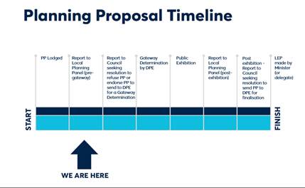
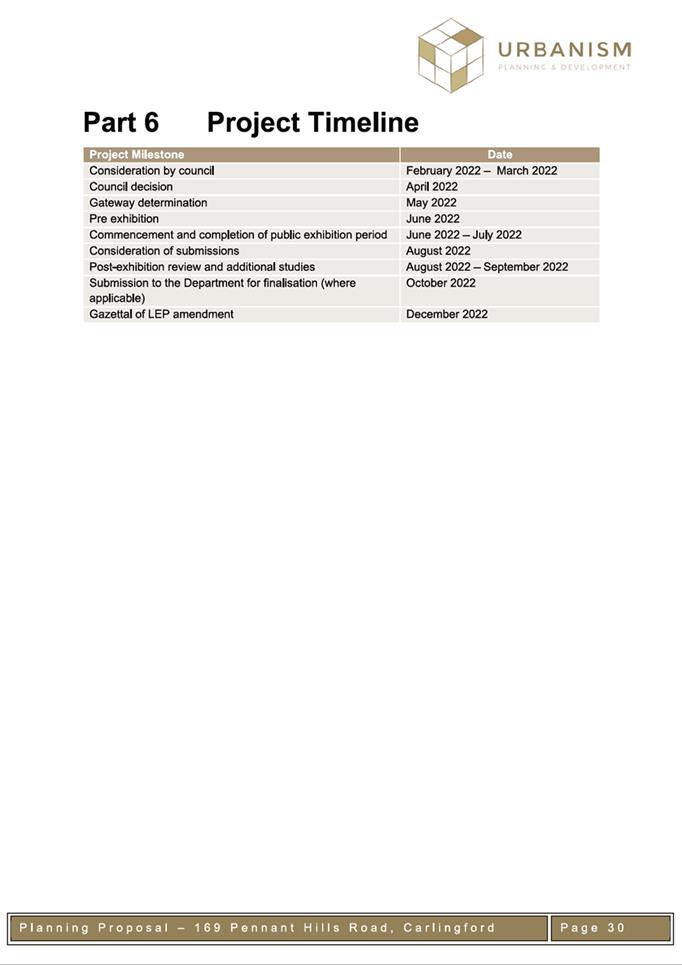
PLANNING PROPOSAL TIMELINE
OVERVIEW OF THE PLANNING PROPOSAL
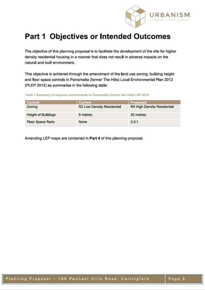
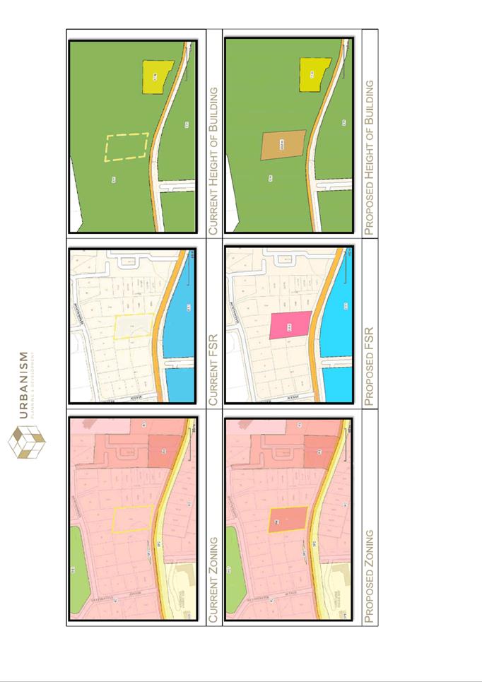
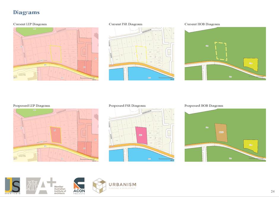
1. On
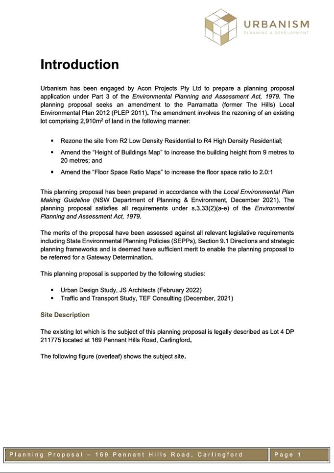
26 April 2022, a Planning Proposal was lodged with Council by Urbanism to amend
the planning controls applicable to 169 Pennant Hills Road, Carlingford, under
the Parramatta (former The Hills) Local Environmental Plan 2012 to:
a)
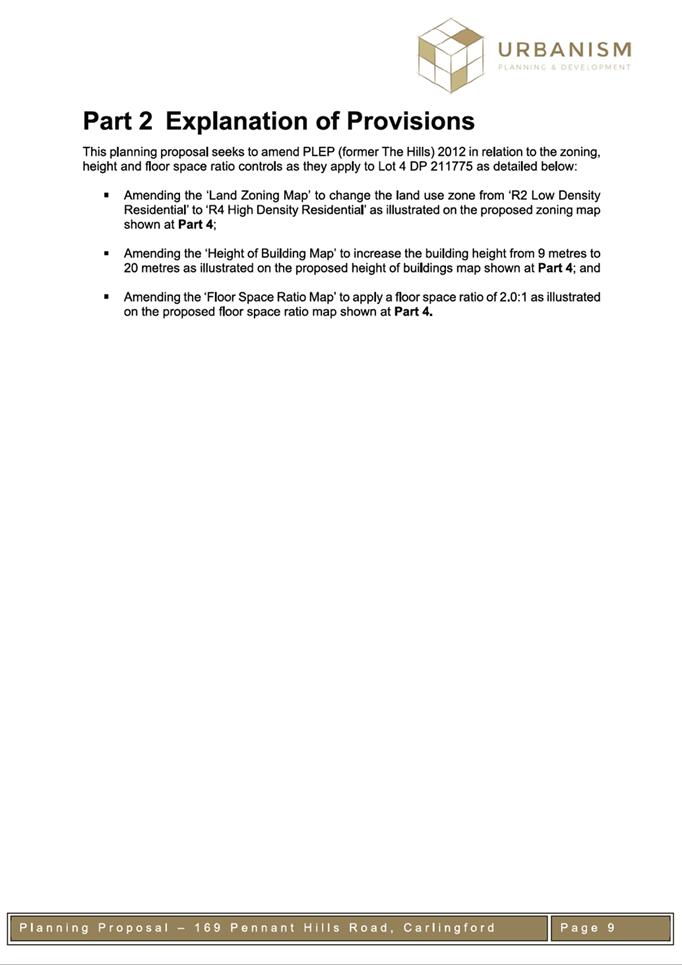
Amend the ‘Land Zoning Map’
to change the land use from R2 Low Density Residential to R4 High Density
Residential;
b)
Increase the maximum height of
buildings from 9m to 20m; and
c)
Amend the floor space map to apply
a 2:1 floor space ratio.
2. An
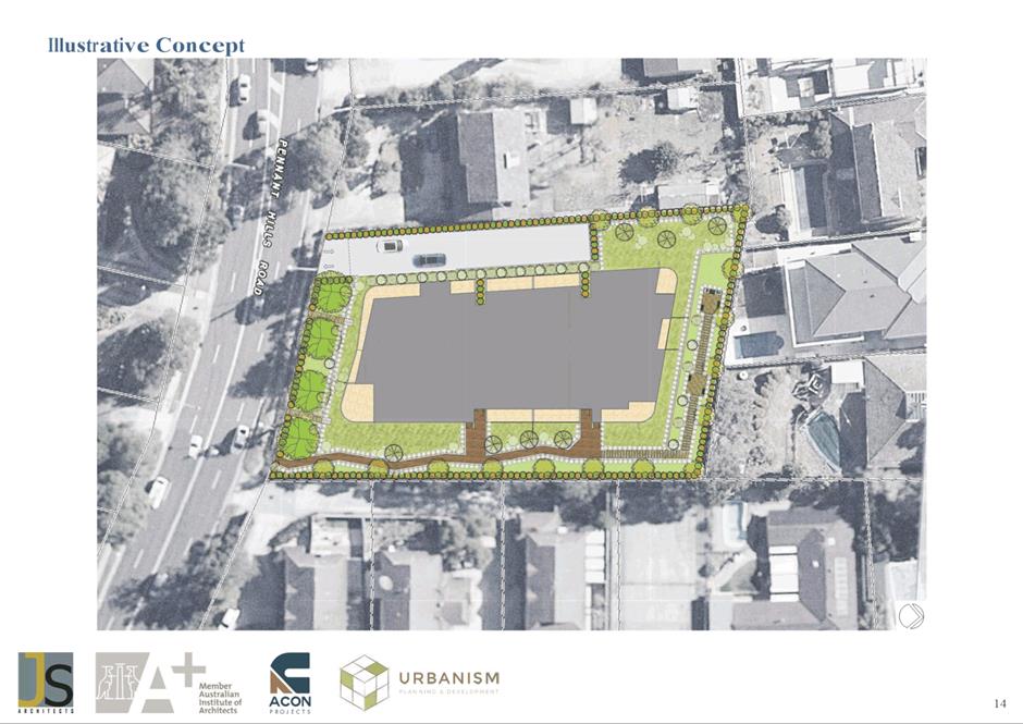
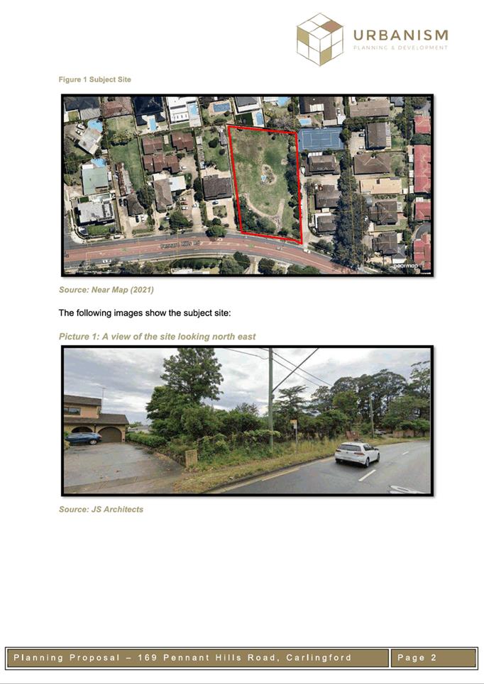
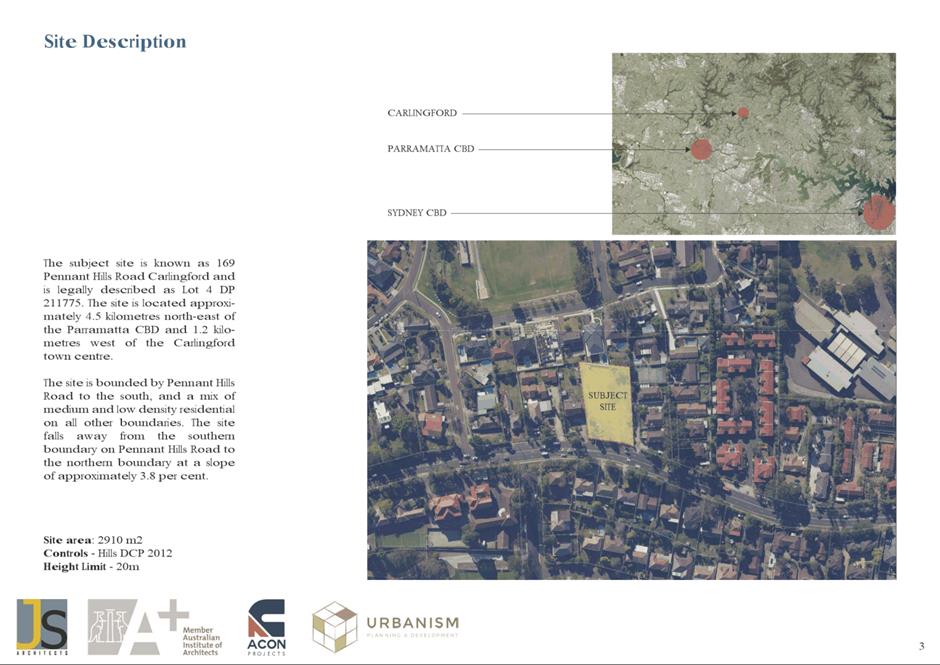
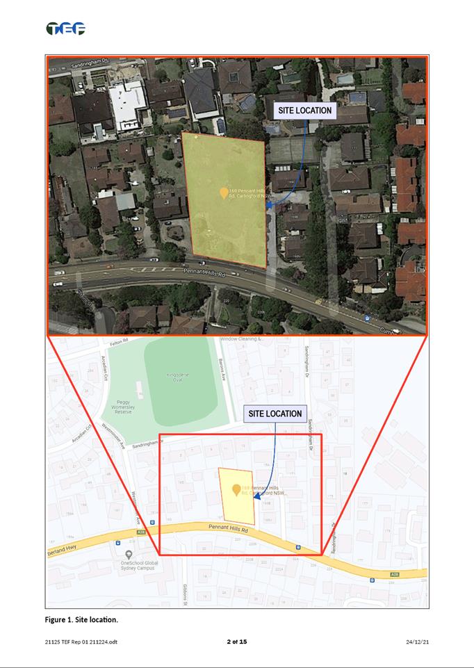
aerial view of the subject site, outlined in yellow, is shown in Figure 1.
The site is located on the northern side of Pennant Hills Road with a total
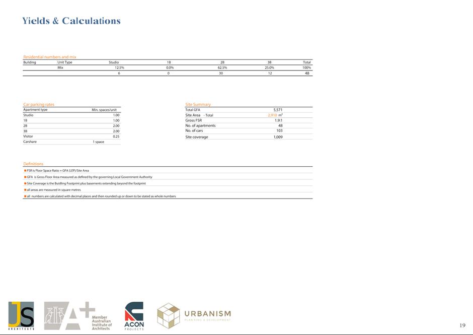
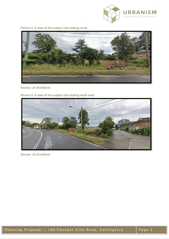
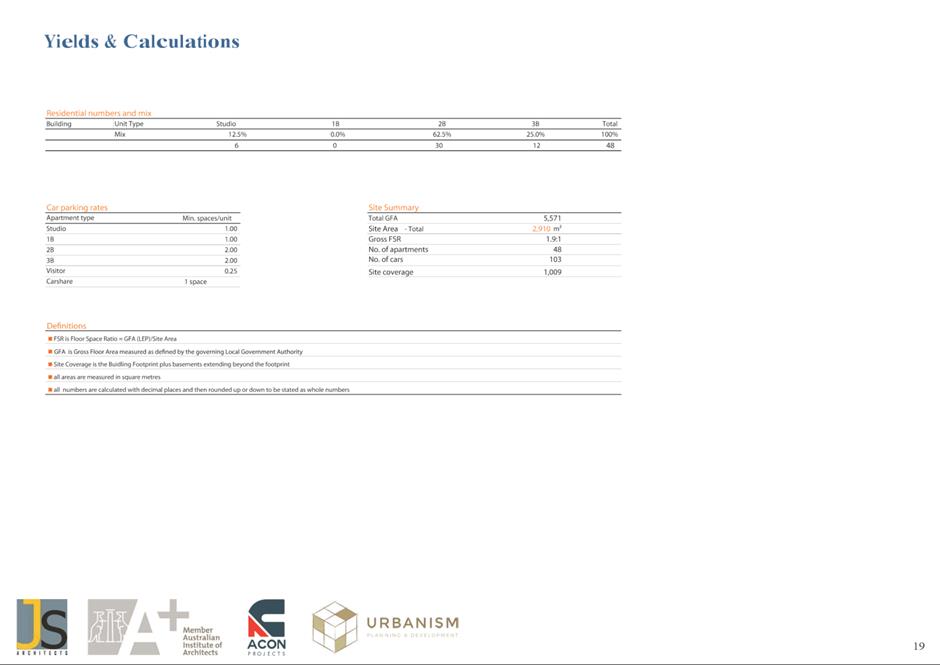
site area of approximately 2,910m². The site is a vacant allotment.
3. The
site has a state-controlled road immediately adjacent to the west (Pennant
Hills Road), which is zoned SP2 Infrastructure. Vehicular access into the site
is from Pennant Hills Road, with no slip lane provided. The site is
approximately 50m from the nearest bus stop along Pennant Hills Road and
approximately 1.2km from the Carlingford light rail station.
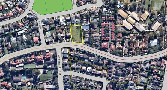
Figure 1: Aerial view of the subject site at 169
Pennant Hills Road, Carlingford.
4. An
overview of the existing and proposed controls for the Planning Proposal are
detailed in Table 1 below.
Table
1: Existing and proposed controls under
the Planning Proposal
|
|
Parramatta (former The Hills) Local Environment Plan
2012
|
Applicant’s Planning Proposal
|
|
Zoning
|
R2 Low Density Residential
|
R4 High Density Residential
|
|
Maximum Height of Building
|
Maximum Height of Buildings of 9m (2-3 storeys)
|
20m (6 storeys)
|
|
Maximum Floor Space Ratio (FSR)
|
No Maximum Floor Space Ratio
|
2.0:1
|
5. The
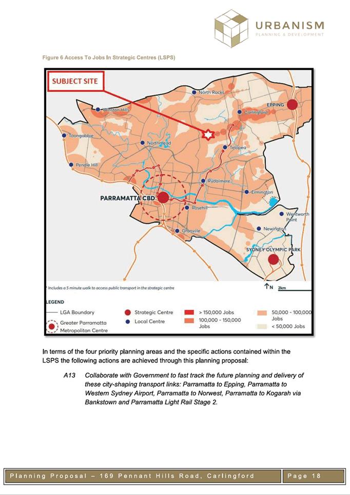
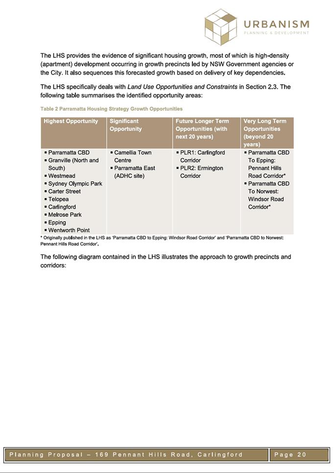
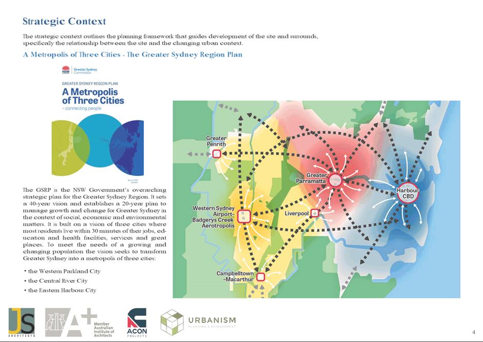
Local Strategic Planning Statement (LSPS) identifies the subject site as being
outside of the Carlingford Growth Precinct, but within the vicinity of the
potential Parramatta CBD to Epping Mass Transit Corridor investigation area
that is identified for the potential delivery of additional housing density
beyond 2036 upon a commitment to fund the transport infrastructure (see Figure
2).
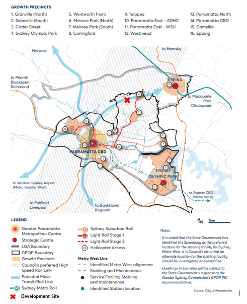
Figure 2: Extract from Local Strategic Planning
Statement detailing Growth Precincts and Potential Mass Transit/ Rail Link.
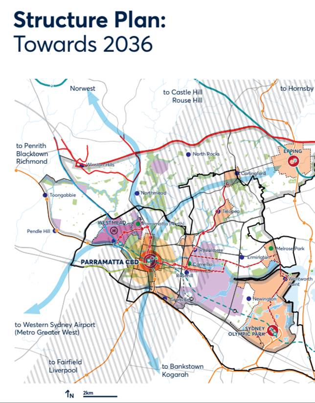
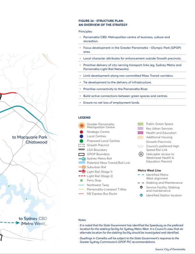
6. The
more detailed extract from the LSPS at Attachment 1 (LSPS Figure 24 -
Structure Plan: An Overview of the Strategy) includes confirmation of the LSPS
Principle to limit development along non-committed Mass Transit corridors.
EXISTING PLANNING CONTROLS UNDER PARRAMATTA (FORMER THE
HILLS) LOCAL ENVIRONMENTAL PLAN 2012
7. The
current zoning, floor space ratio and height controls that apply to the site
are shown in Figures 4, 5 and 6 below.
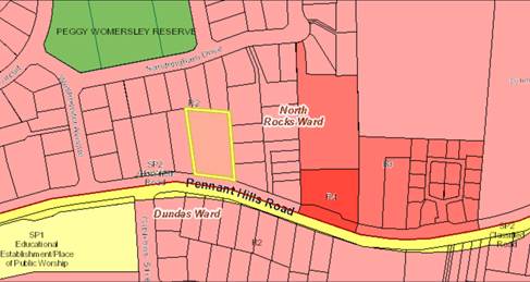
Figure 4: R2 Low Density Residential
under Parramatta (former The Hills) LEP 2012
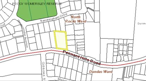
Figure 5: No Maximum Floor
Space Ratio under Parramatta (former The Hills) LEP 2012
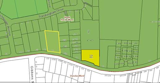
Figure 6: Maximum Height of
Building 9m under Parramatta (former the Hills) LEP 2012
COUNCIL OFFICER ASSESSMENT
8. An
informal pre-lodgement meeting was held on 11 August 2021 between the applicant
and Council Officers. The documents provided included a proposed building
height of 22.5m (7 storeys) and floor space ratio of 2.4:1. No proposed zoning
was suggested at the time of the meeting. During the meeting, the applicant was
informed of Council Officer’s concerns with the proposal, particularly
the inconsistency of the proposal with the LSPS, Local Housing Strategy (LHS)
and existing character of the area, being predominantly low density
residential.
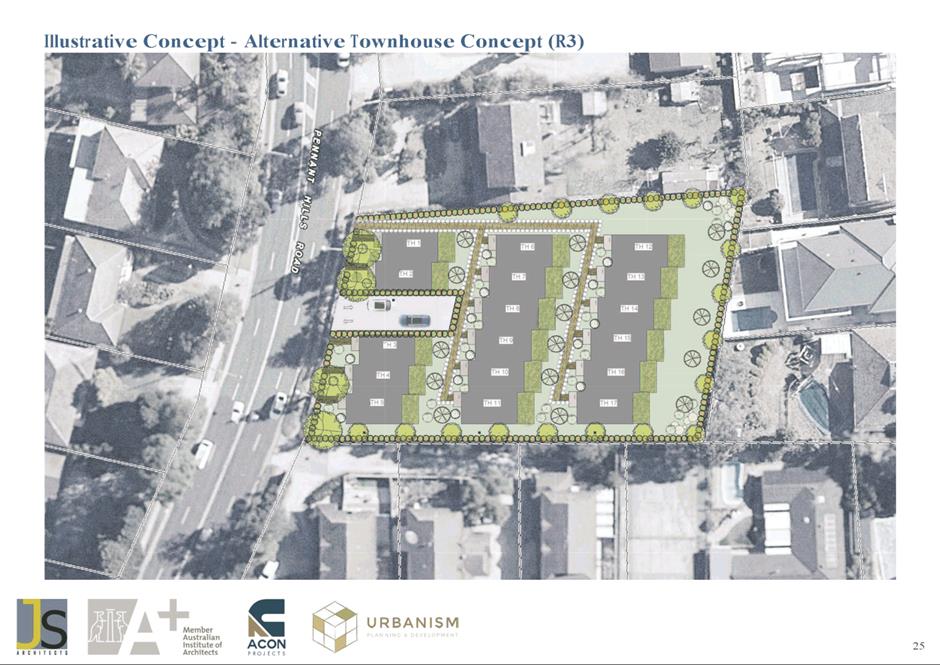
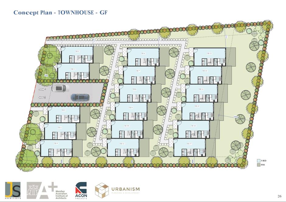
9. The
Planning Proposal (Attachment 2) was lodged in April 2022 and was
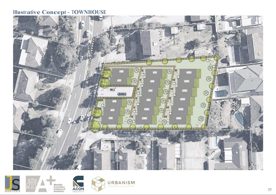
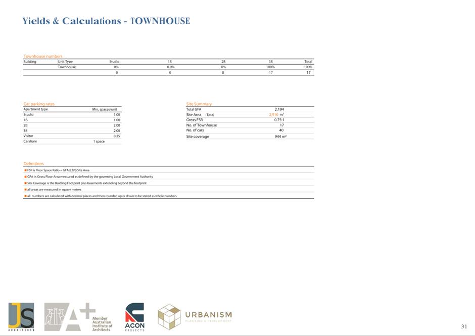
accompanied by supporting evidence, including ‘Indicative Concept
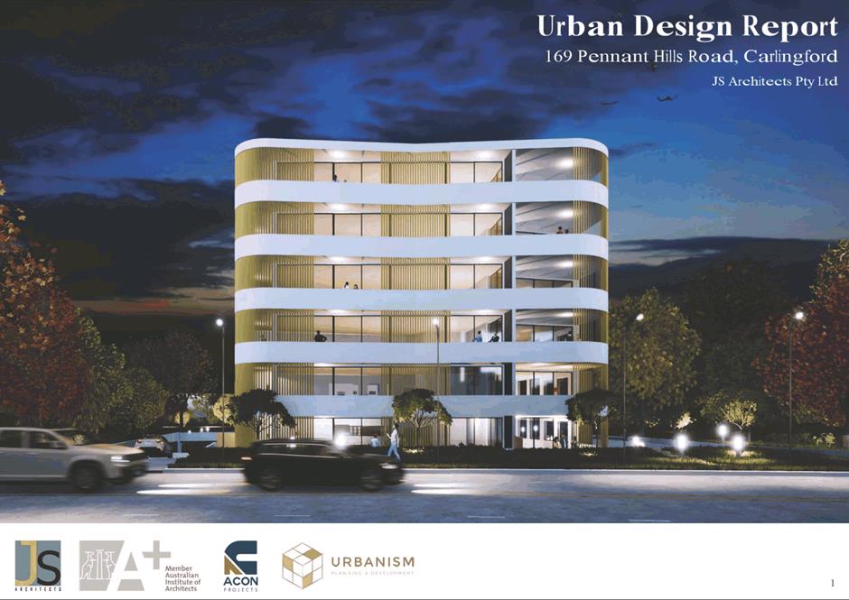
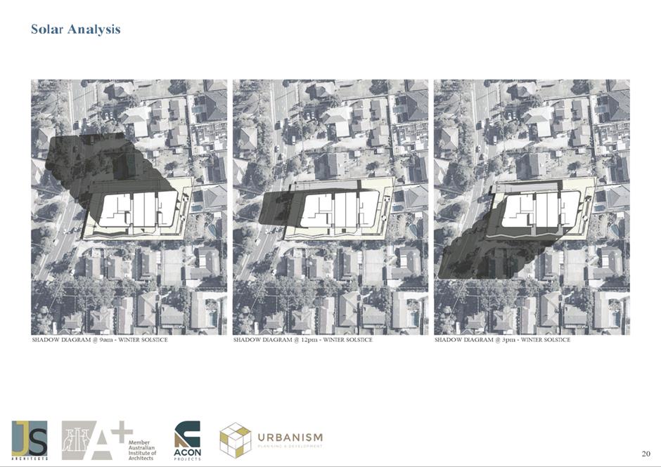
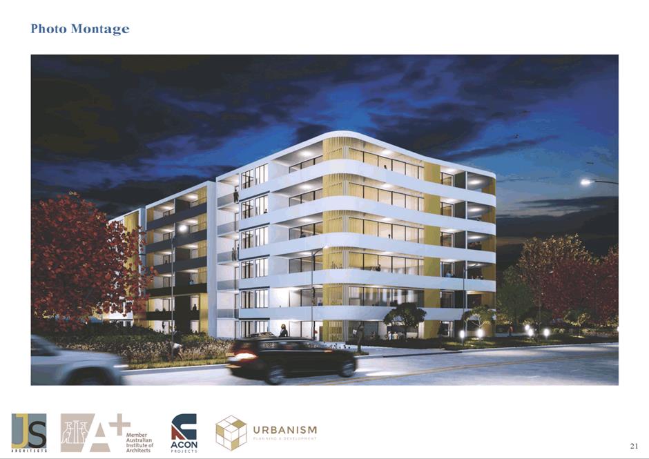
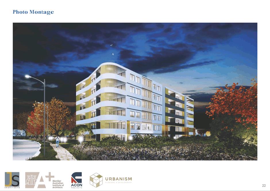
Plans’ prepared by JS Architects (Attachment 3). The Planning
Proposal, including a supporting Traffic and Transport Study (Attachment 4),
was referred to relevant sections of Council for comment to inform its
assessment (including Urban Design and Traffic Management).
10. Review
of the Planning Proposal has identified inconsistencies with the LSPS and the
LHS as the site is located outside of the Carlingford Growth Area Precinct and
has not been identified as being within a future growth precinct. The site is
located within the Parramatta CBD to Epping Mass Transit Corridor which is
identified in the LSPS to be preserved from intensification of development,
pending the future investigation of the future transport corridor for potential
higher density development upon a commitment to fund the transport
infrastructure.
11. It
has also been identified that the proposed density and heights would result in
an overdevelopment of the site, inconsistent with the density and heights of
nearby development and overbearing of existing nearby lower scale development
within the locality. This would result in an unacceptable conflict with the
existing character of the area and would unduly impact on the amenity of
surrounding residences.
12. Discussions
have been held with the Applicant regarding Council Officer continuing concerns
that the scale of development proposed is not compatible with the character of
the area and that high density development could only be considered for the
site when future strategic planning work examines the potential of the wider
corridor for development post-2036, as is identified in the LSPS and LHS.
13. The
following sections consider Council Officer key concerns regarding the Planning
Proposal in more detail.
Inconsistency with the Existing Strategic Planning
Framework
14. The
LSPS and LHS do not support the delivery of high density development along the
potential Parramatta CBD to Epping Mass Transit
Corridor given the current program for investigating the potential for
higher density development in the corridor area has not yet commenced and is
not required to deliver new dwellings until beyond 2036. Both policies are
aligned with the key objective of requiring the delivery of State and local
infrastructure to support the intensification of development along potential
corridors. The LSPS and LHS also note that such housing delivery is not needed
before that time to meet agreed City of Parramatta housing delivery targets.
15. The
key long term strategic transport planning policy that sets the context for the
consideration of the Parramatta CBD to Epping Mass Transit Corridor is
Transport for NSW’s Future Transport 2056. That Plan provides a 40 year
vision identifying city-shaping transport projects that will, in the long term,
improve accessibility to jobs and services, and act as a stimulus for
additional housing supply. It therefore helps set the long term framework for
the planned release of already developed low density urban land for higher
density development, so that it takes place in a planned and coordinated manner
to enable an orderly transition to a new type of local built form and in doing
so minimises the impacts of the associated changes in local character. Future Transport 2056 identifies
the Parramatta to Epping Mass Transit/Train Link as a future project to be
investigated during the period 2026-2036.
16. The
LHS seeks to ensure that State and local infrastructure will support projected
levels of growth. The LHS makes it clear that greater density should only be
supported if there is provision of committed supporting infrastructure. The LHS
confirms that there is no identified need to plan to permit additional density
on the subject site above that enabled by the current planning controls, prior
to the investigation of the potential future development capacity of the
Parramatta to CBD Mass Transit Corridor during the period to 2036, as Council
has already identified sufficient land to meet its new dwelling targets under
the Central City District Plan and LHS for the period to 2036.
17. The
Department of Planning and Environment (DPE), through the Central City District
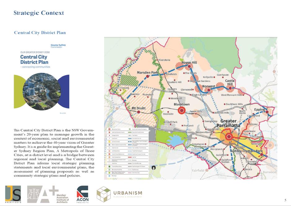
Plan and the LHS, provides an “Implied Dwellings Targets” for the
City of Parramatta of 77,000 new dwellings for the period to 2036.
Council’s LHS, that has been approved by DPE, notes that already
identified new housing sites will enable new housing supply that exceeds the
implied dwelling target utilising the current development capacity within
existing growth precincts, identified future growth precincts and through urban
renewal within existing low density zoned areas. Details of the projected
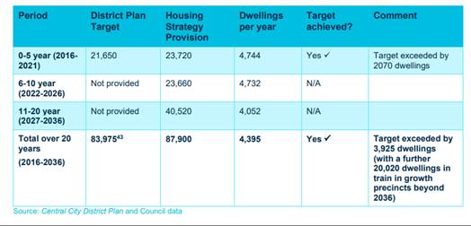
housing supply for the period to 2036 are provided in Table 2.
Table 2: How the City of Parramatta is meeting its
dwelling targets under the Central City District Plan – extract from
Local Housing Strategy.
18. It
is also important to note that the LSPS, when considering the issue of Local
Character (Section 3.1.5) notes that:
While the majority of our
planned housing growth will occur in an identified corridor between Greater
Parramatta and Olympic Park (GPOP) and also Epping, the areas to the north of
GPOP generally comprising Toongabbie, Winston Hills, North Rocks, Epping and
parts of North Parramatta, Carlingford, Beecroft, and Eastwood, comprise low
density residential uses which are typically zoned R2 Low Density Residential
zone.
These existing suburbs have
high levels of urban amenity and character, and also provide a diversity of
housing offer in the LGA. Importantly, these suburbs also provide for a
significant amount of our existing urban tree canopy.
These areas
are to be protected from further encroachment of high density development.
19. The
subject site is located in Carlingford, an area zoned R2 Low Density
Residential that is referred to in this part of the LSPS and therefore directly
conflicts with the approach adopted in the LSPS and LHS of protecting such
areas from encroachment of high density development.
20. It
should also be noted that the City of Parramatta Council is actively working
and on track to ensure that sufficient new housing is delivered to meet the identified
targets. The NSW Government press release at Attachment 5 states that
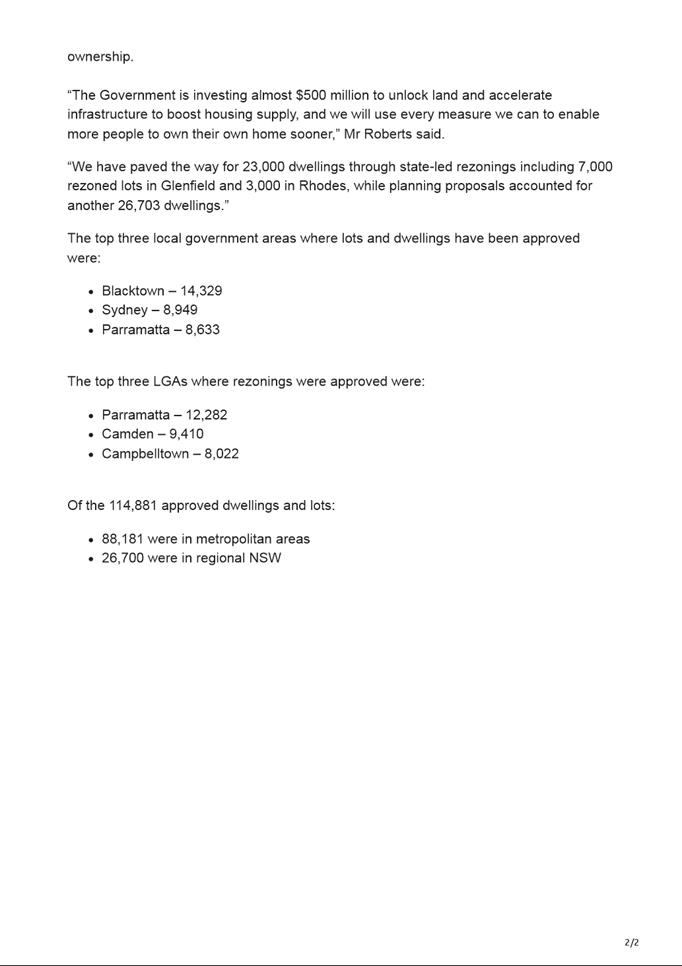
during the period from 1 July 2021 to 30 June 2022 City of Parramatta Council
was the top local government area (LGA) in the state for rezoning in approving
12,282 new dwellings and the third highest LGA for dwelling approvals for 8,633
new dwellings.
Impact on Local Character and Amenity
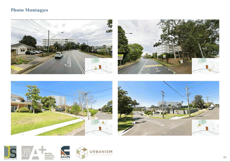
21. The
Planning Proposal would result in an increase in density on the site that would
not result in acceptable impacts or appropriate transitions between the
proposed R4 High Density Residential zone and the surrounding R2 Low Density
Residential zoned land. The existing character of local development is
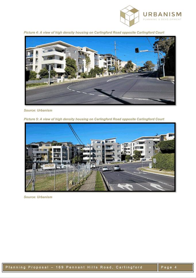
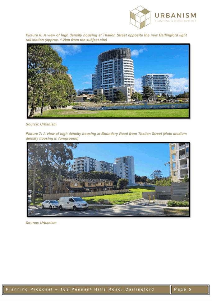
predominately two storey town houses and detached dwellings on varying lot
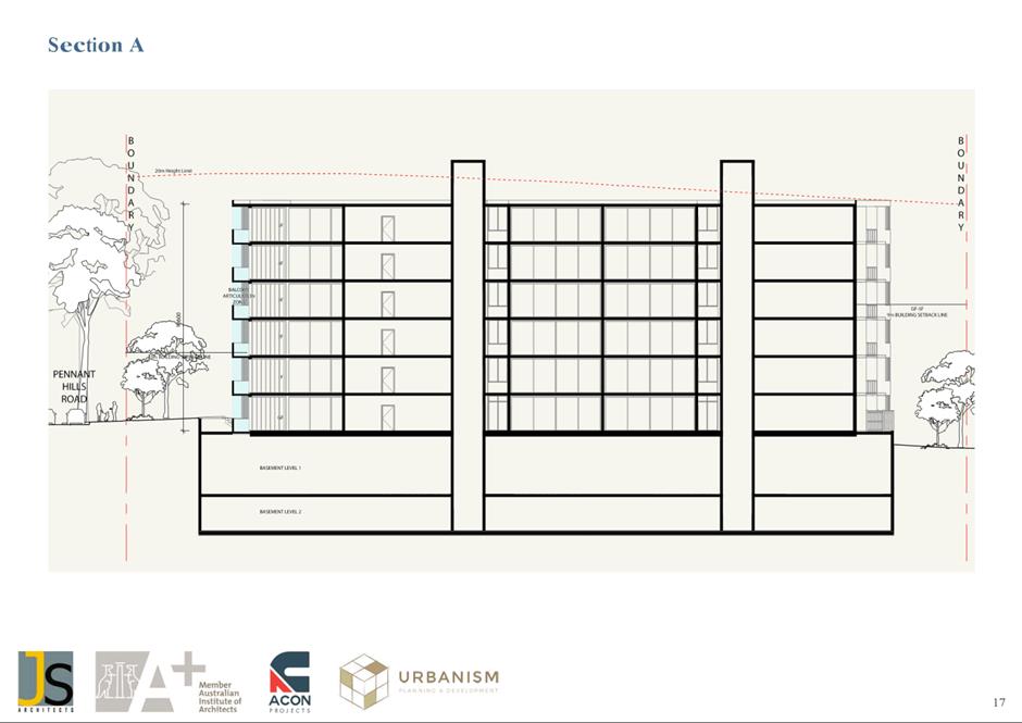
sizes. The proposed increase in building height from 9m (2-3 storeys) to 20m (6
storeys) would result in development that is over twice the height of any of
the surrounding dwellings and would unduly impact on neighbourhood amenity by
way of out of character building scale, overshadowing and overbearing of
surrounding low density residential development.
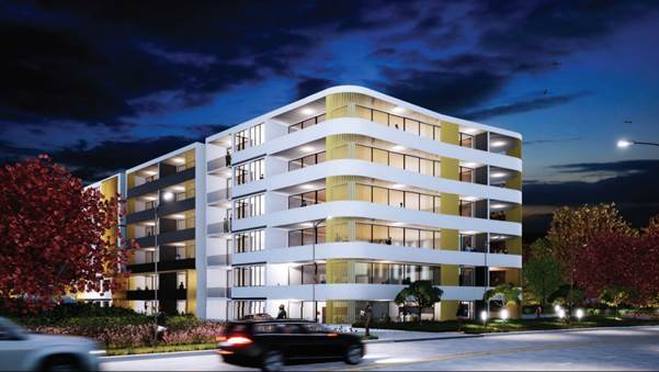
Figure
7: Indicative Photomontage from Indicative Concept Plans
22. The
Hills Development Control Plan (HDCP) 2012 that applies to the land includes
site-specific controls in relation to setbacks, landscaping, unit floor area,
open space and car parking. Assessment of the indicative concept plans
submitted with the proposal has established that the Planning Proposal would
not comply with these current controls that apply to residential apartment
buildings within R4 High Density Residential zoned land. The relevant controls
are summarised in Table 3 below.
Table 3: Indicative
concept plans compliance with The Hills Development Control Plan (HDCP) 2012
|
Control
|
Compliance
|
|
Front boundary setback of 10m from a classified road
|
No
|
|
Minimum internal floor area of units
- 75m2
for 1 bedroom units
- 110m2
to 2 bedroom units
135m2 for 3 bedroom units
|
No
|
|
Landscaping area of 30% of the site
|
No
|
|
A minimum of 50% of the site shall be provided with
landscaping areas, exclusive of access driveways and parking
|
No
|
|
Where basement car parking is proposed a minimum of 30% of
the developed site must be capable of deep-rooted planting
|
No
|
|
Car parking provided in accordance with the DCP
|
No
|
23. It
has also been identified that the calculated gross floor area within the
proposed concept plan envelopes are lower than the proposed floor space ratio
of 2.0:1. As a result the requested floor space ratio would not be achieved
without a request for even greater additional height (approximately 1-3 metres)
above the proposed 20m height limit.
24. Review of the Planning Proposal has also raised the
following traffic and transport related concerns:
·
Pennant Hills Road is a classified road
that is currently congested and does not have the capacity to cater for an
increase in development density above the permitted density of the Carlingford
growth precinct. In particular the section of Pennant Hills Road between
Jenkins Road and Moseley Street is currently at capacity with the current level
of development that is permitted within the area.
·
Parking rates provided within the
concept plans do not meet the requirements of The Hills Development
Control Plan (HDCP) 2012 based on the proposed unit mix within the indicative
concept plans.
25. In
summary, the Planning Proposal fails to demonstrate any need for the proposal
to proceed in advance of a strategic investigation of the development potential
of the site in conjunction with a review of the potential of the wider area,
and also fails to demonstrate that detailed issues associated with the impact
of high density development on the site on the amenity of the surrounding area
would be adequately addressed. The detailed impacts arising from the proposed
form of high density development that would be surrounded by existing low
density residential development highlight the need for a more extensive
analysis to be carried out of the wider area before such a significant change
in permissible density can be considered for introduction into this established
low density residential area.
26. The
recently established local strategic planning framework comprising the LSPS and
LHS has shown that Council has actively worked to identify sufficient land to
meet its projected needs for the period to 2036 and there is therefore no need
to bring forward additional sites for development in an unplanned and
uncoordinated way as would be the case if the Planning Proposal was to proceed.
Recently released figures for dwelling rezoning and development application approvals
within the LGA demonstrate that Council is continuing to work to deliver new
dwellings for the community in a planned and coordinated manner in locations
where the new development is supported by necessary infrastructure upgrades.
27. The
Planning Proposal would not be consistent with Council’s State Government
endorsed planned approach to delivering new housing to meet local needs. As a
result, the Planning Proposal is premature and should not be progressed. The
future development of the site should only be considered in a strategically
coordinated manner, in conjunction with the wider area, to examine its
potential role in meeting future housing demand so that any changes to the
character of the area are properly managed.
PLAN MAKING DELEGATIONS
28. The
recommendation to the Parramatta Local Planning Panel is for the Planning
Proposal to not be supported for the purposes of seeking a Gateway
Determination. As a result, Council is not seeking plan making delegations.
FINANCIAL IMPLICATIONS FOR
COUNCIL
29. There
are no financial implications for Council in the consideration of this matter.
CONCLUSION
30. Council
Officers have assessed the Planning Proposal and have determined that it should
not be supported as it is inconsistent with the well-established local
strategic planning framework that has been endorsed by Council and the DPE.
That framework does not support any increase in the density of development in
the Parramatta CBD to Epping Mass Transport corridor until a study has been
carried out, and identifies that development is not needed in that area to meet
housing supply targets for the period to 2036. If the proposal was to proceed
at present it would result in an overdevelopment of the site that would be
inconsistent with the character of the surrounding area and would have a
detrimental impact on neighbourhood amenity.
NEXT STEPS
31. It
is recommended the Parramatta Local Planning Panel support the Council Officer
recommendation that the Planning Proposal (Attachment 2) not be
supported for the purposes of seeking a Gateway Determination.
32. Following
the Parramatta Local Planning Panel’s consideration of the
recommendations of this report, the matter will be reported to an upcoming
Council meeting along with the Panel’s advice.
33. Should
Council decide to not support the Planning Proposal, the proponent may choose
to lodge a rezoning review with the DPE on the basis that Council has notified
them in writing that it does not support the proposal, or because the Planning
Proposal has exceeded the 90 day assessment timeframe.
34. If
a rezoning review is lodged, the DPE will notify Council and will request
information as part of the rezoning review process.
Belinda Borg
Team Leader Land Use Planning
David Birds
Group Manager, Major Projects and
Precincts
Jennifer Concato
Executive Director City Planning and
Design
Attachments:
|
1⇩ 
|
Figure 24 extract from LSPS
|
2 Pages
|
|
|
2⇩ 
|
Planning Proposal Report
|
42 Pages
|
|
|
3⇩ 
|
Urban Design Report & Indicative
Plans
|
33 Pages
|
|
|
4⇩ 
|
Traffic and Transport Study
|
23 Pages
|
|
|
5⇩ 
|
NSW Government Media Release on Housing
Targets
|
2 Pages
|
|
REFERENCE MATERIAL
|
Item 6.1 - Attachment
1
|
Figure 24 extract from LSPS
|
|
Item 6.1 - Attachment 2
|
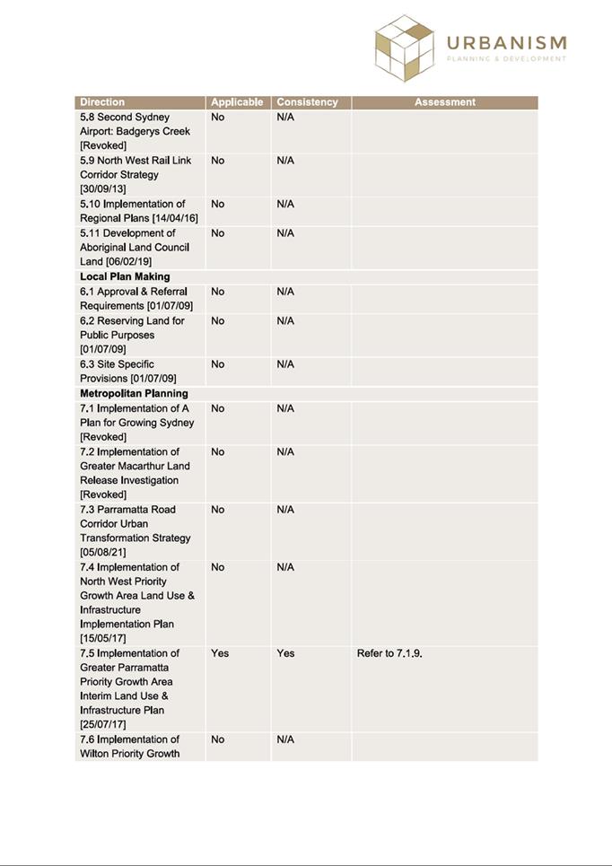
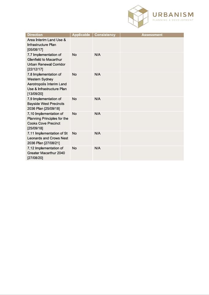
Planning Proposal Report
|
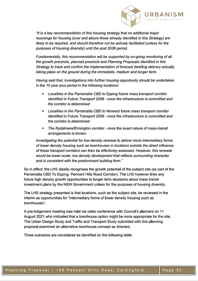
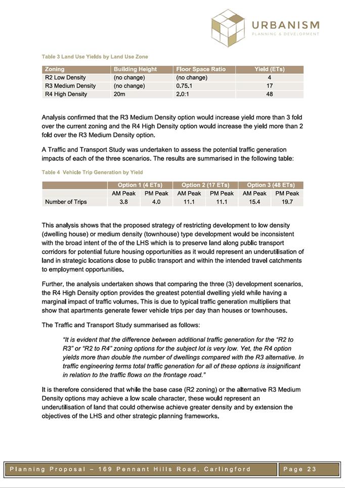
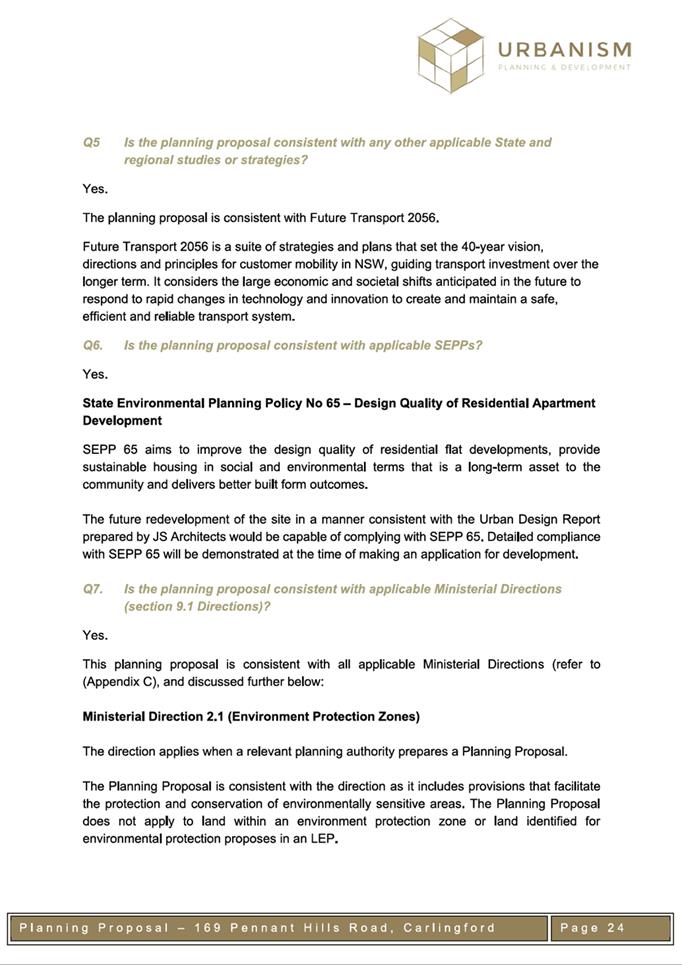
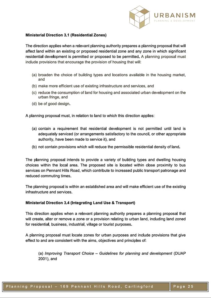
|
Item 6.1 - Attachment 3
|
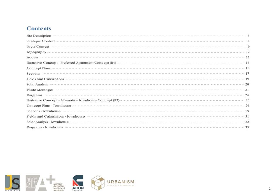
Urban Design Report & Indicative Plans
|
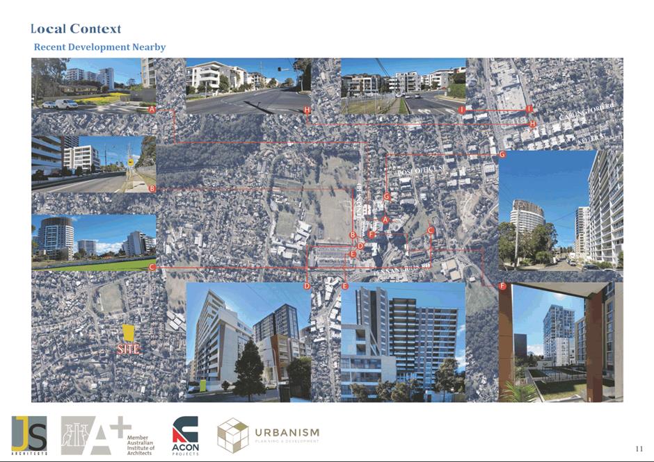
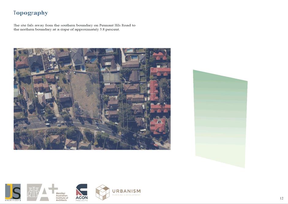
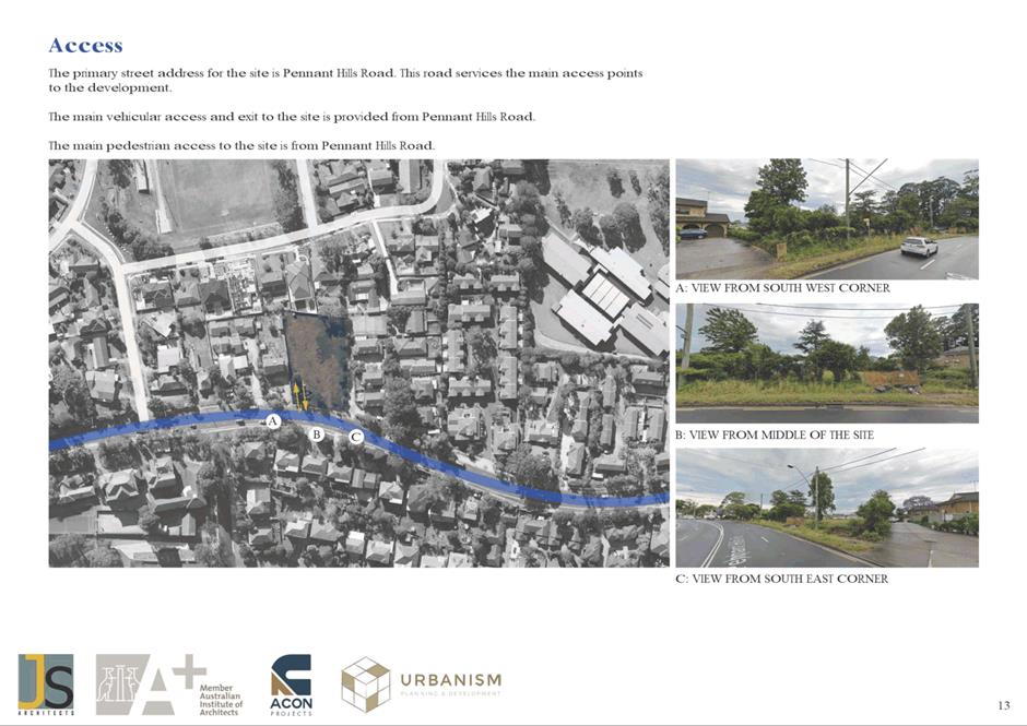
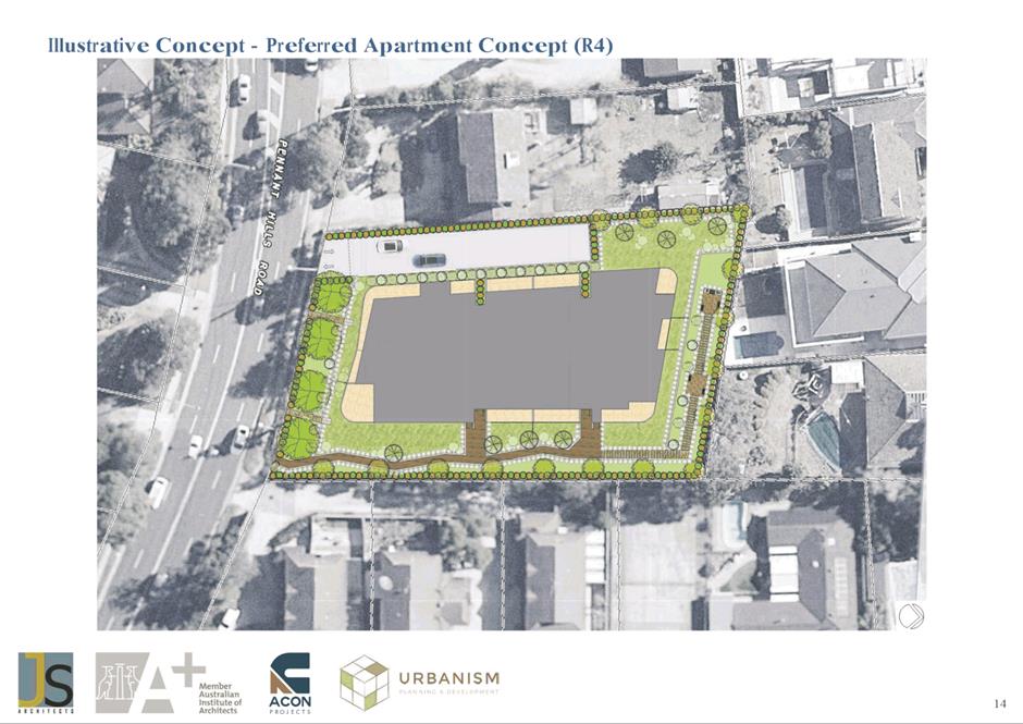
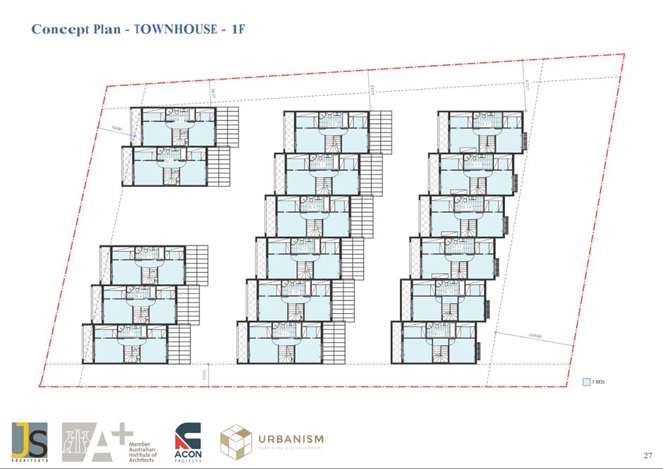
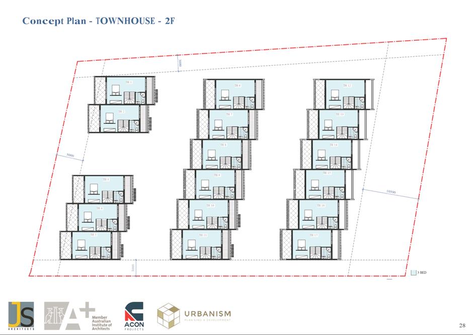
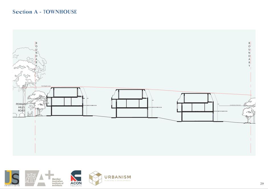
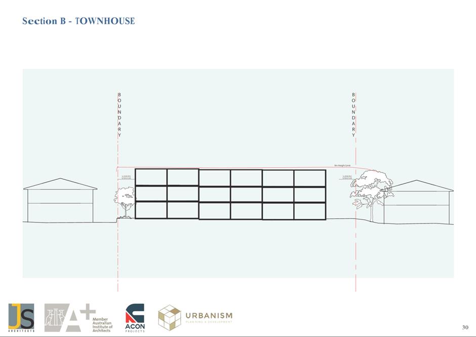
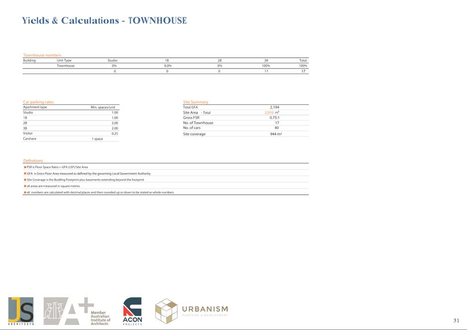
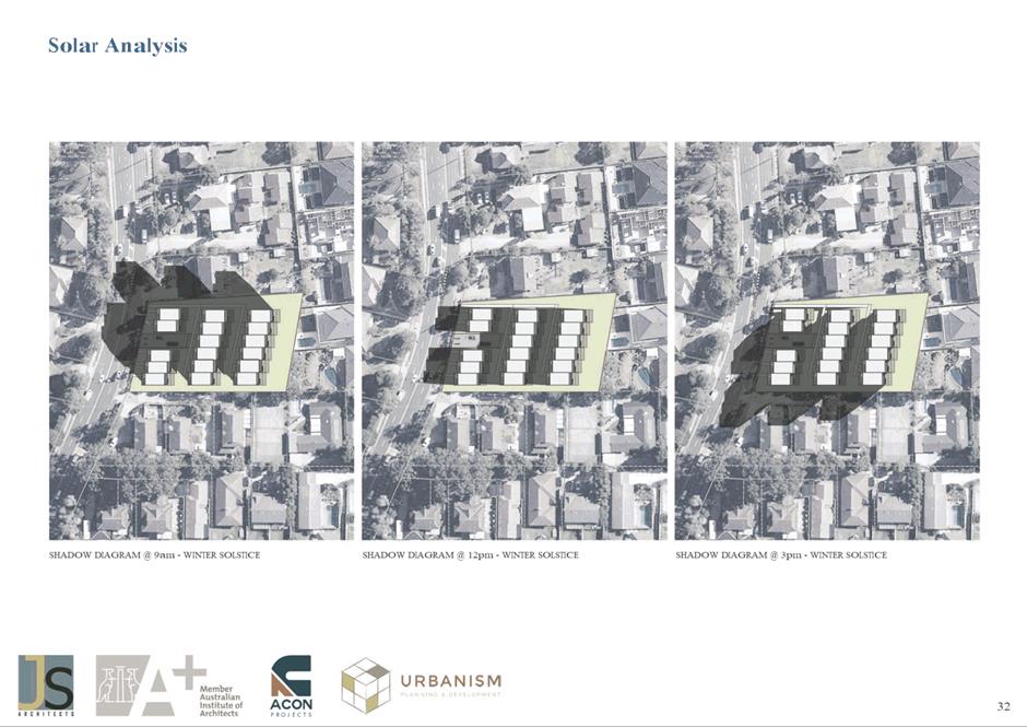
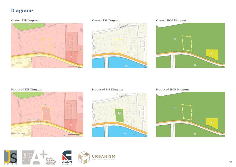
|
Item 6.1 - Attachment 4
|
Traffic and Transport Study
|
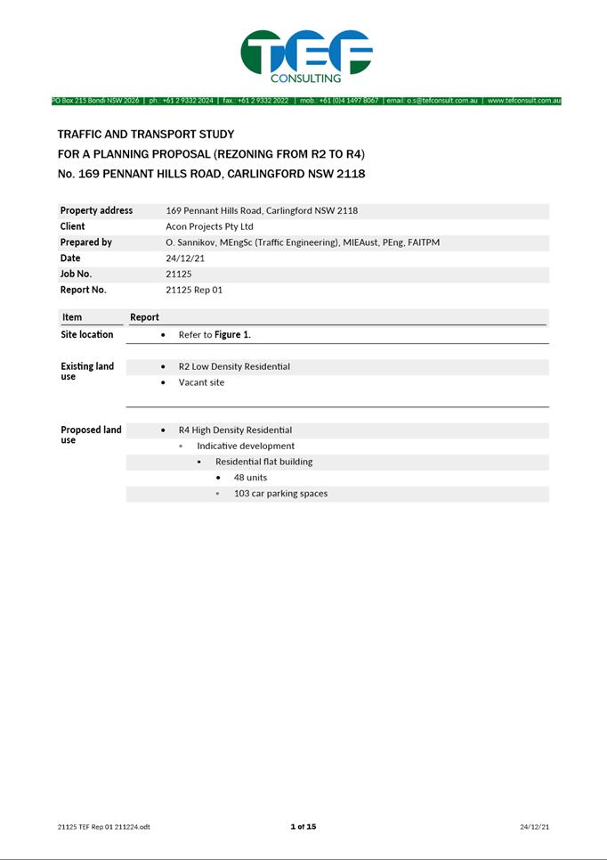
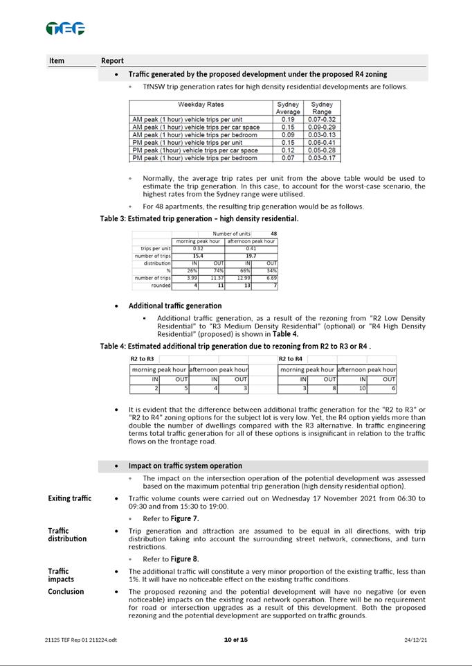
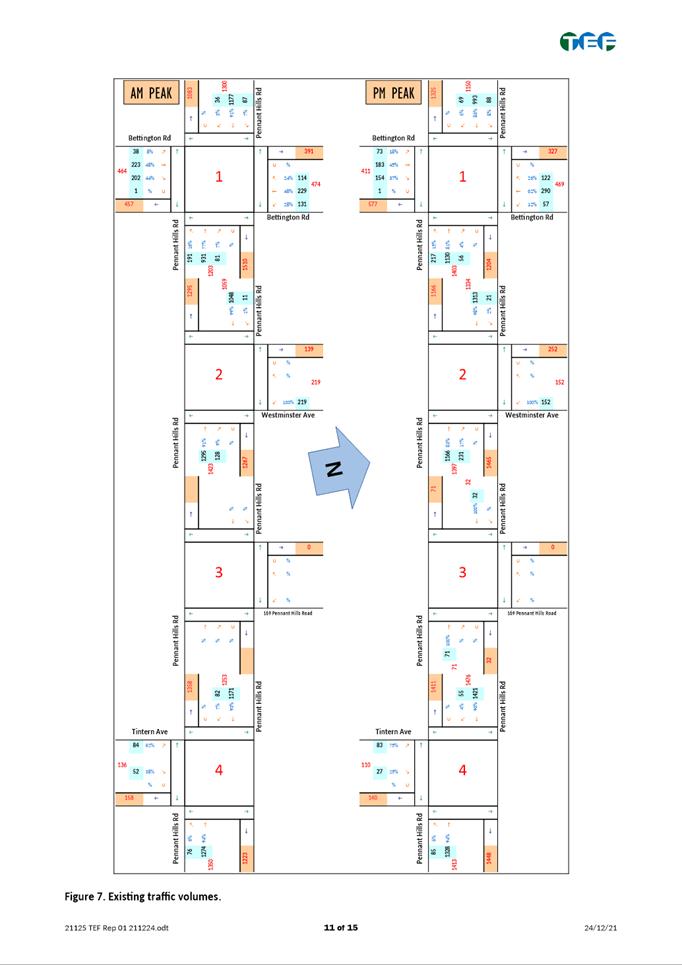
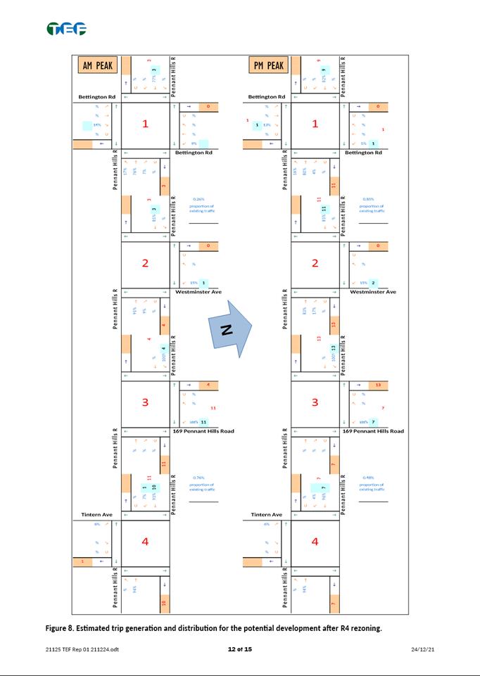
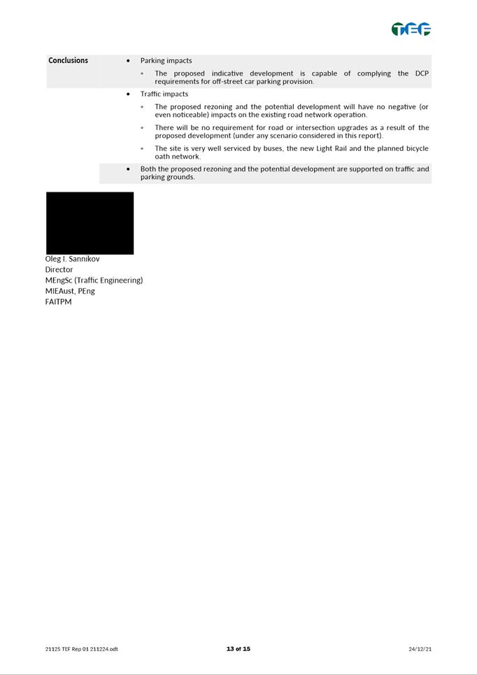
|
Item 6.1 - Attachment 5
|
NSW Government Media Release on Housing Targets
|
